Plizio Visual Lab
Mont Dauban
Weather…
Water temperature…
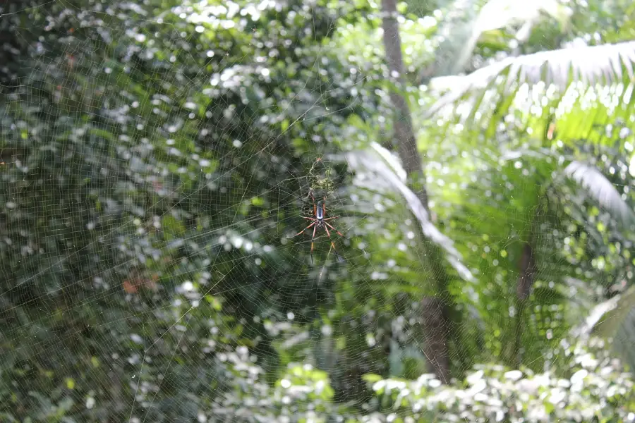
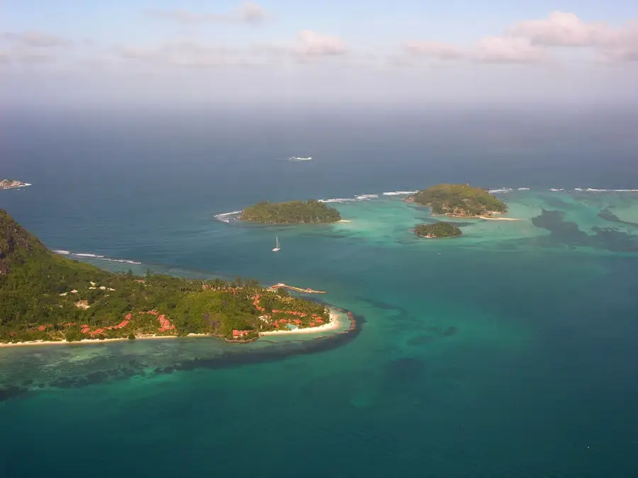
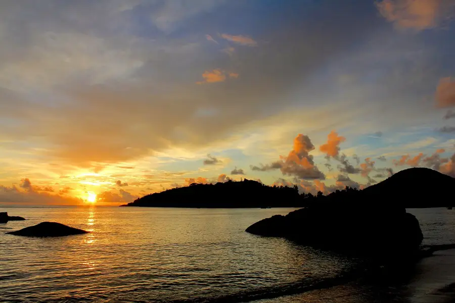
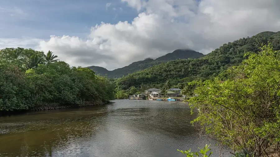
Mont Dauban is the highest peak on Silhouette Island and the second highest in the Seychelles, reaching an elevation of 740 meters. It is named after the Dauban family, who owned the island for over a century. The mountain is almost constantly shrouded in clouds, leading to the creation of a unique mist forest with an extremely high density of endemic species. Rare carnivorous pitcher plants and numerous orchid species that exist nowhere else on Earth can be found here. The steep slopes are covered in dense primary rainforest, which has remained largely untouched due to the island's isolation. The ascent is technically challenging and usually requires a local guide due to the thick vegetation and often slippery ground. Geologically, Mont Dauban is composed of syenite, a rock type that differs from the granite found on most other Inner Islands. The view from the summit provides wide-open panoramas across the entire island and the surrounding Indian Ocean.
- Location: Seychelles
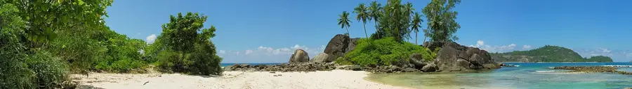
- Top sights: jardin marron · Tortoise sanctuary · Anse La Passe
- Nearby: Baie Ternay (19 km)
Best time to visit & climate
The most pleasant time to visit is Jun–Aug.
| Jan | Feb | Mar | Apr | May | Jun | Jul | Aug | Sep | Oct | Nov | Dec | |
|---|---|---|---|---|---|---|---|---|---|---|---|---|
| Avg °C | 27 | 28 | 28 | 29 | 28 | 27 | 26 | 26 | 27 | 27 | 27 | 27 |
| Rain mm | 215 | 103 | 103 | 108 | 96 | 70 | 52 | 51 | 93 | 107 | 123 | 174 |
📋 Practical info
Geography
Facts
- At 740 meters, it is the highest peak on Silhouette Island.
- Geologically, the mountain is made of syenite rather than granite.
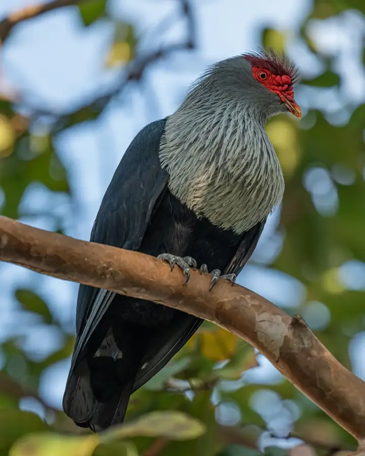
- It is home to the rare carnivorous pitcher plant, Nepenthes pervillei.
- The summit is shrouded in mist approximately 300 days a year.
- The Dauban family owned the island from 1867 until 1960.
- The mountain is located within a strictly protected National Park.
Explore nearby
Notable places around
Route planner — Car & Motorhome
Where do you start? We build the route here, with stops and country notes along the way.
© OpenStreetMap contributors · OpenRouteService
Sights in the town Mont Dauban (8)
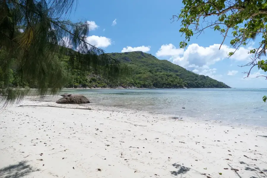
Anse Cipailles
Secluded beach with boulders and shade-giving trees.
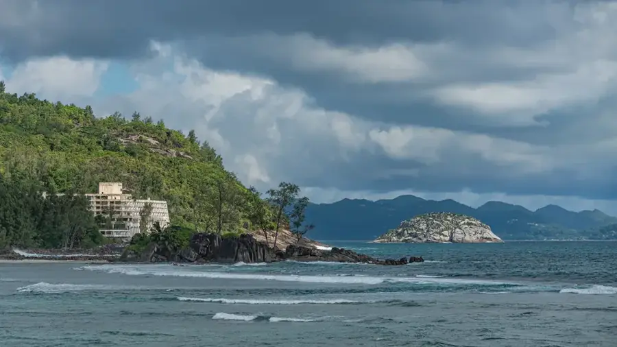
Belle Vue
Viewpoint with panoramic view over the bay and sea.
Anse Lascars
Small beach with coarse sand, surrounded by tropical vegetation.
Pointe Varreur
Headland with a view of the coast and islands.
Pointe Ramasse Tout
Rocky peninsula, good for watching waves and birds.
Sights nearby
Frequently asked questions
How high is Mont Dauban?
Is the mountain freely accessible?
Is the hike difficult?
What makes the mountain special?
Do I need special equipment?
Mont Dauban: where is it located?
Mont Dauban: what is there to see?
Mont Dauban: when is the best time to visit?
Mont Dauban: why is it worth visiting?

Nearby cities


History & landmarks
Nature
More places