Plizio Visual Lab
Zborište
Weather…
Water temperature…
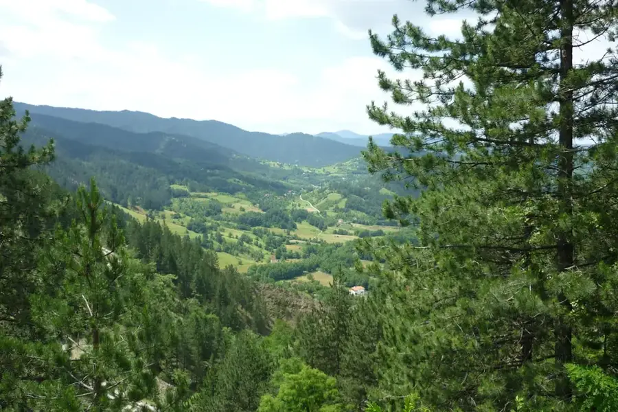
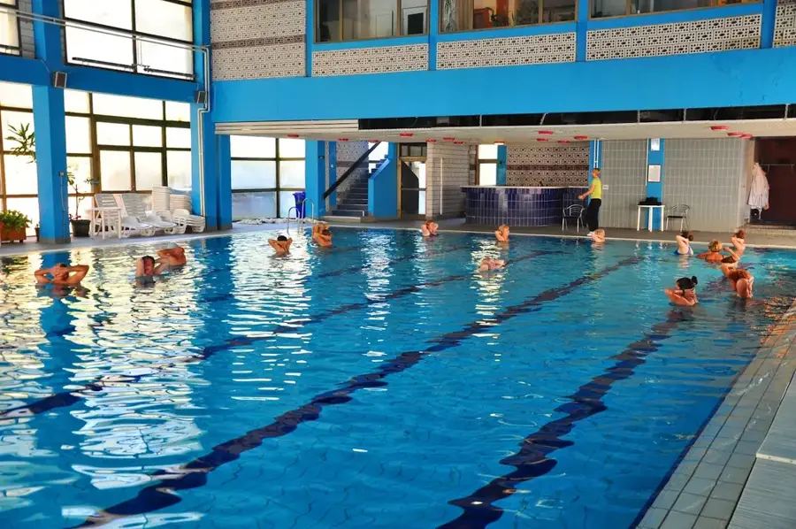
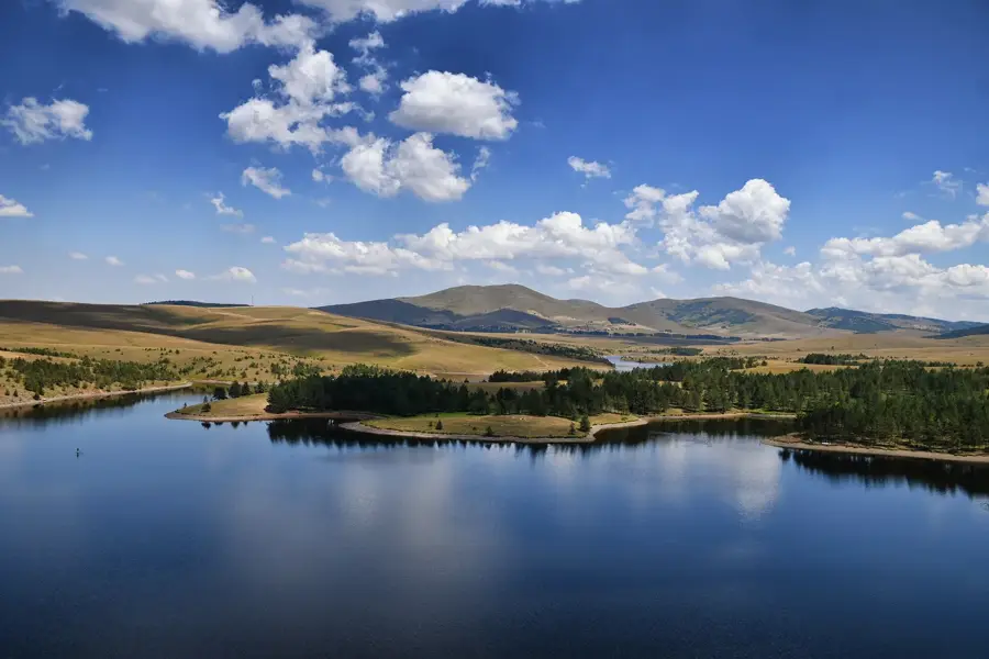
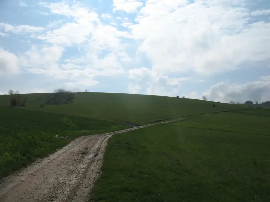
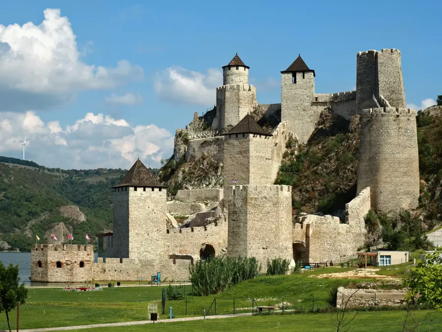
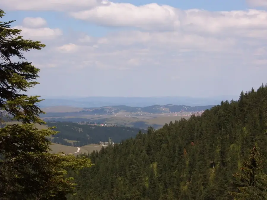
Zborište is the highest peak of Tara Mountain in western Serbia, standing at an elevation of 1,544 meters. It is located within the Tara National Park, established in 1981 to preserve the region's extraordinary biodiversity. Geologically, Zborište belongs to the Dinaric Alps and is primarily composed of limestone, resulting in dramatic cliffs and deep gorges. The area is globally renowned as the primary habitat of the endemic Serbian Spruce (Picea omorika), a 'living fossil' that survived the Ice Age in these mountains. From the summit, hikers are rewarded with views of the Drina River canyon and the distant peaks of Bosnia and Herzegovina. The surrounding dense forests are among the most significant habitats for the brown bear in Serbia. Historically, the Tara region has been a strategic borderland, home to medieval landmarks like the Rača Monastery. The climate at Zborište is alpine, with long, snowy winters and mild summers, making it a premier destination for nature photography and trekking.
- Location: Serbia
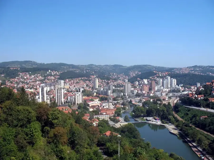
- Nearby: Perućac (5 km)
Best time to visit & climate
The most pleasant time to visit is Jun–Aug.
| Jan | Feb | Mar | Apr | May | Jun | Jul | Aug | Sep | Oct | Nov | Dec | |
|---|---|---|---|---|---|---|---|---|---|---|---|---|
| Avg °C | -2 | 0 | 4 | 9 | 14 | 17 | 20 | 20 | 15 | 10 | 5 | 0 |
| Rain mm | 61 | 62 | 70 | 67 | 98 | 108 | 76 | 65 | 74 | 69 | 70 | 69 |
📋 Practical info
Geography
Facts
- Zborište is the highest point of Tara at 1,544 meters.
- The peak is part of the Tara National Park established in 1981.
- It is the natural habitat of the rare Picea omorika spruce.
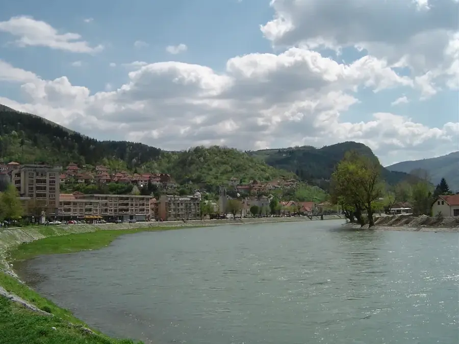
- The Drina River forms a natural border nearby.
- Tara is home to approximately 1,100 species of flora.
- The summit offers a clear view of the Zaovine Lake.
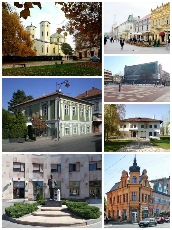
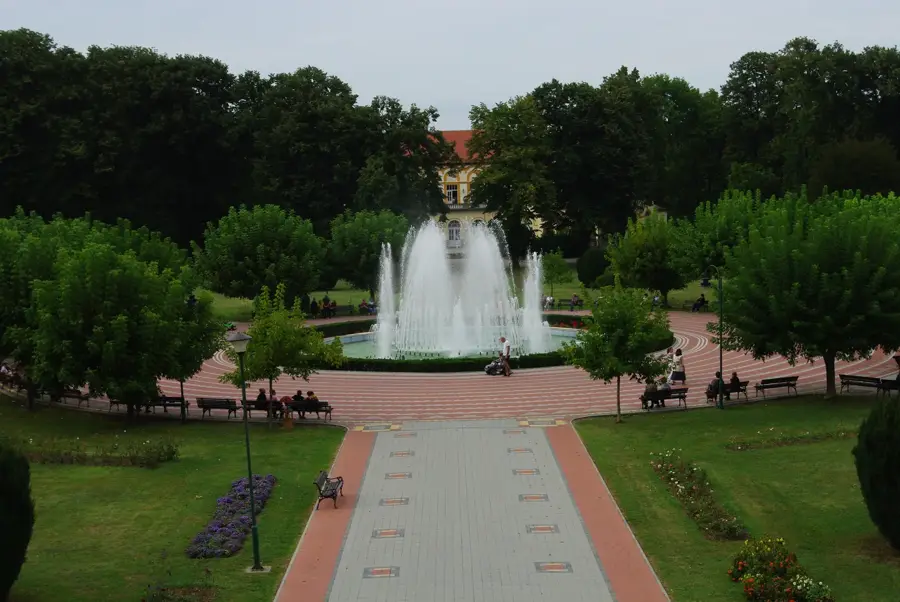
Explore nearby
Notable places around
Route planner — Car & Motorhome
Where do you start? We build the route here, with stops and country notes along the way.
© OpenStreetMap contributors · OpenRouteService
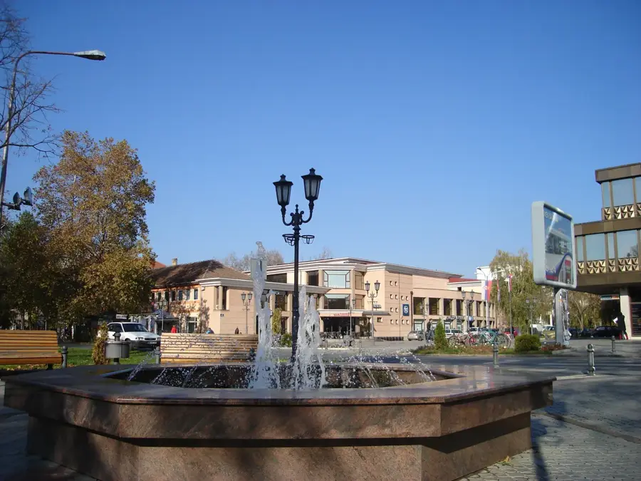
Sights in the town Zborište (1)
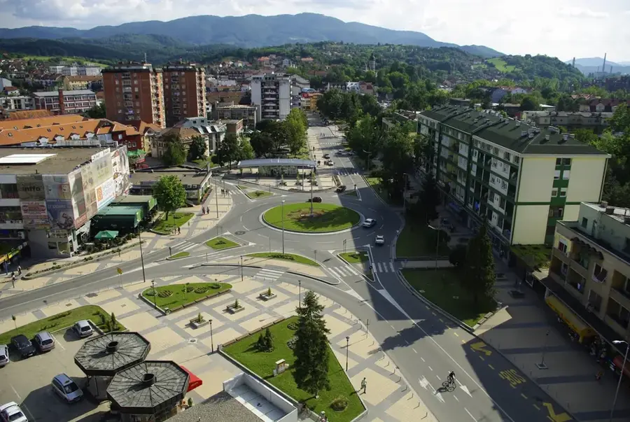
Sights nearby
Frequently asked questions
What is Zborište?
How high is the peak?
Are there bears there?
How is the hiking trail?
Can you see the Drina river from the peak?
Zborište: where is it located?
Zborište: when is the best time to visit?
Zborište: why is it worth visiting?

Nearby cities
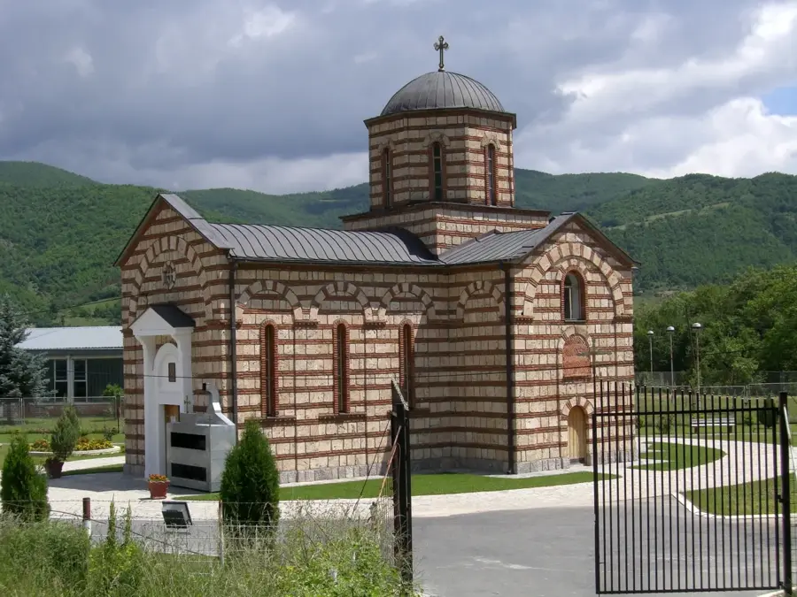

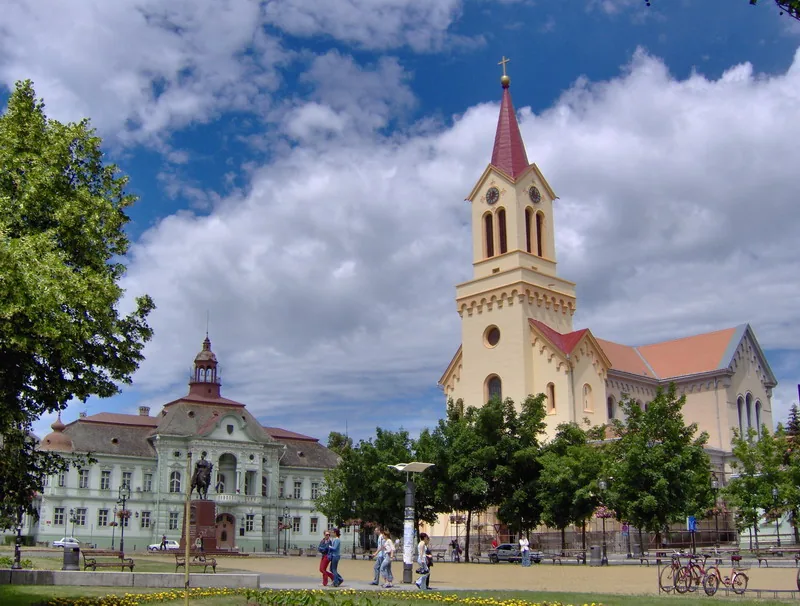
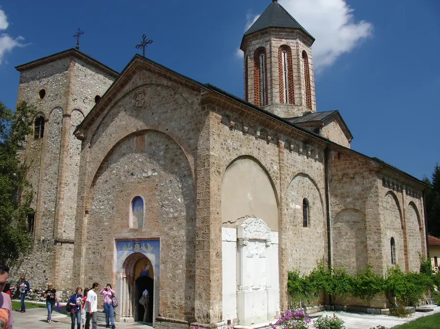
History & landmarks
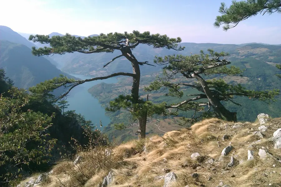
Nature
More places