Plizio Visual Lab
Gruda
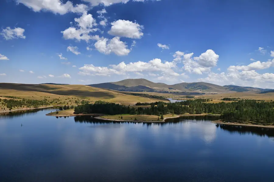
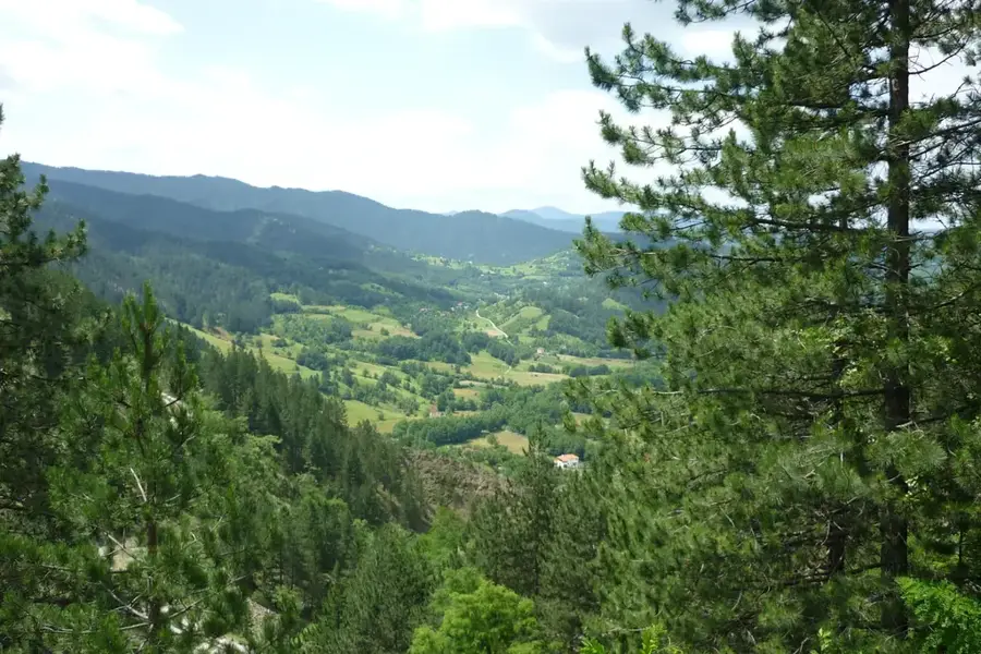
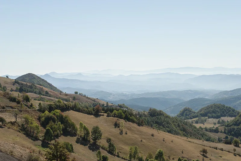
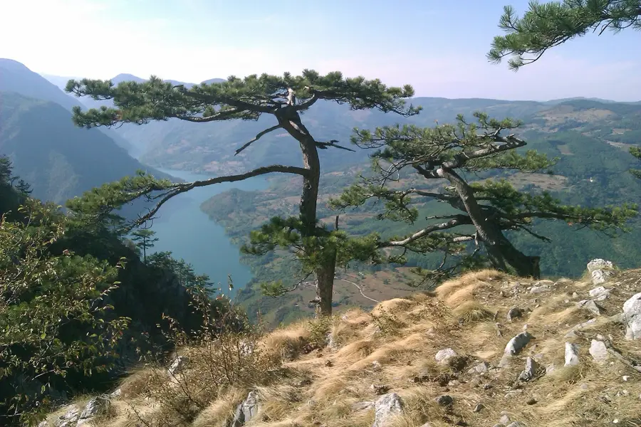
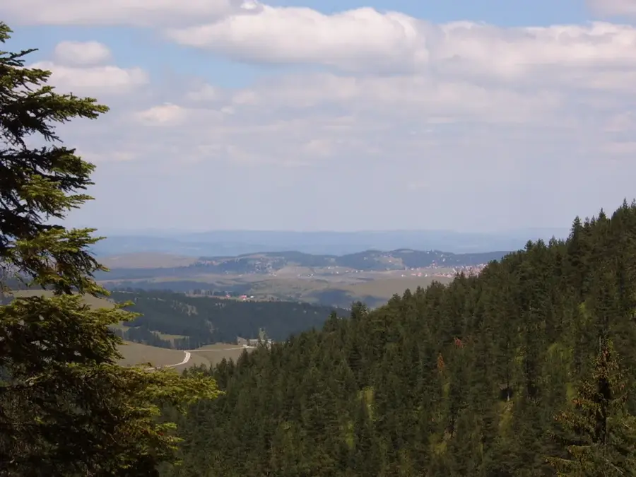
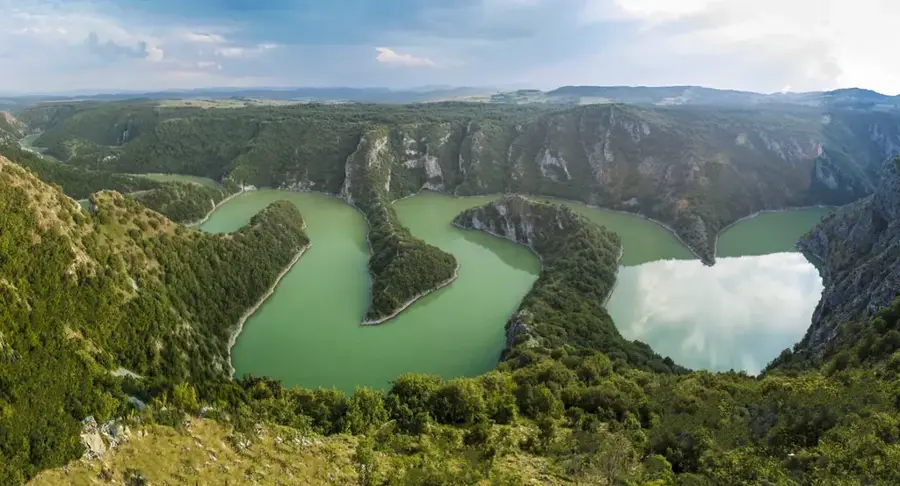
Gruda is a prominent hill in the southwestern part of the Zlatibor plateau in Serbia, rising to 1,140 meters above sea level. Characteristic of this summit is its gentle, dome-like shape, which is typical of the morphology of the Zlatibor massif, composed primarily of serpentinite. Gruda has expansive views over the valleys of the Uvac and Rzav rivers, making it a historically strategic point for local agriculture. In the past, the area was used for building summer pastoral huts (katuni), where shepherds lived during the summer months and produced traditional cheeses. The flora is characterized by extensive mountain meadows, where rare medicinal plants such as thyme and yarrow grow in large quantities. The climate is moderately mountainous, and the constant airflow contributes to the clarity of the atmosphere that has made Zlatibor famous as a health resort. Today, Gruda is a popular destination for light hiking and family outings, as it is easily accessible from the central tourist settlements. Nearby, archaeological sites suggest human habitation in the area dating back to the Bronze Age.
- Location: Serbia
- Top sights: Zlatiborska jezera · Kod Komshe
- Nearby: Mokra Gora (15 km)
Best time to visit & climate
The most pleasant time to visit is Jun–Aug.
| Jan | Feb | Mar | Apr | May | Jun | Jul | Aug | Sep | Oct | Nov | Dec | |
|---|---|---|---|---|---|---|---|---|---|---|---|---|
| Avg °C | -2 | -1 | 3 | 8 | 12 | 16 | 19 | 19 | 14 | 9 | 4 | -1 |
| Rain mm | 72 | 71 | 78 | 71 | 94 | 107 | 76 | 62 | 78 | 80 | 89 | 81 |
📋 Practical info
Geography
Facts
- Gruda reaches an elevation of 1,140 meters above sea level.
- The geological foundation consists of dark serpentinite rock.
- The region is renowned for its aromatic mountain herbs.
- The air currents on Gruda are considered to be exceptionally low in allergens.
- Historical paths connect Gruda with the village of Sirogojno.
- The annual average temperature in this area is approximately 7.5°C (45.5°F).
Explore nearby
Notable places around
Route planner — Car & Motorhome
Where do you start? We build the route here, with stops and country notes along the way.
© OpenStreetMap contributors · OpenRouteService
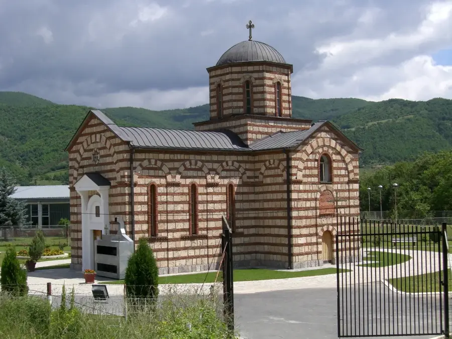
Sights in the town Gruda (2)
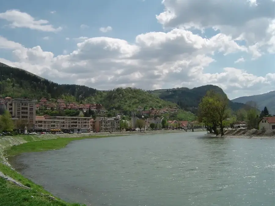
Sights nearby
Frequently asked questions
Where is Gruda located in Zlatibor?
Can you go hiking there?
Is the summit forested?
What is special about the view?
Are there accommodations there?
Gruda: where is it located?
Gruda: what is there to see?
Gruda: when is the best time to visit?
Gruda: why is it worth visiting?

Nearby cities


History & landmarks
Nature
More places