Plizio Visual Lab
Čičot
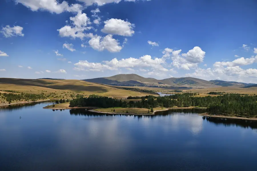
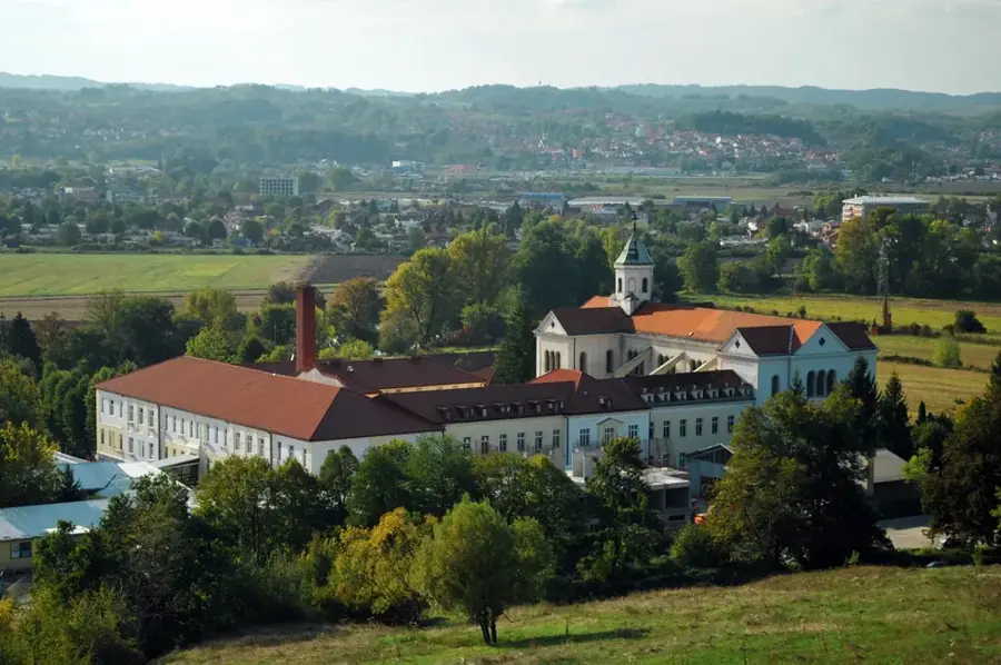
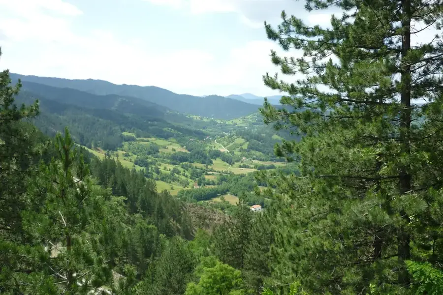
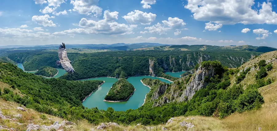
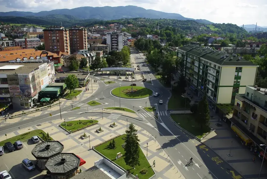
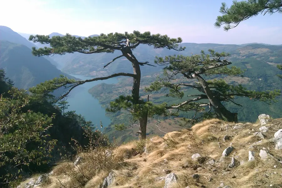
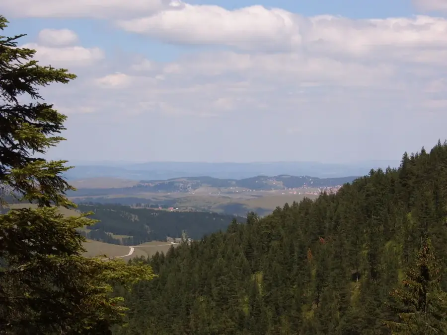
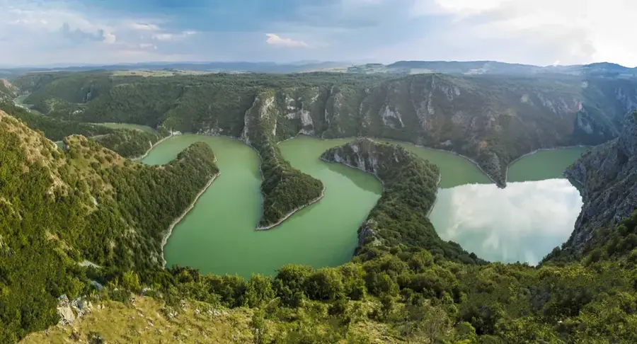
Čicot is a prominent peak on the Zlatibor plateau in western Serbia, reaching an elevation of 1,422 meters. Unlike the rugged mountain ranges of the Balkans, Zlatibor is characterized by gentle, rolling hills and vast, open grasslands resting on a geological foundation of peridotite. Čicot gives some of the finest panoramic views in the region, providing visibility as far as the Tara National Park and the mountains of Montenegro on clear days. Historically, Zlatibor was an important center for traditional livestock farming, with the pastures around Čicot being renowned for their high-quality grazing land. The area is famous for its healing air, created by the mixing of Mediterranean and alpine air masses, a phenomenon known as the wind rose. Today, the peak is a popular destination for hikers and mountain bikers, utilizing the well-maintained trails originating from the Zlatibor tourist center. The region is also noted for its unique traditional wooden architecture, known as brvnare, which can still be found in the lower-lying areas around the peak.
- Location: Serbia
- Top sights: Zlatibor theater · Amusement park · Dino park Zlatibor
- Nearby: Mokra Gora (19 km)
Best time to visit & climate
The most pleasant time to visit is Jun–Aug.
| Jan | Feb | Mar | Apr | May | Jun | Jul | Aug | Sep | Oct | Nov | Dec | |
|---|---|---|---|---|---|---|---|---|---|---|---|---|
| Avg °C | -2 | -1 | 3 | 8 | 12 | 16 | 19 | 19 | 14 | 9 | 4 | -1 |
| Rain mm | 72 | 71 | 78 | 71 | 94 | 107 | 76 | 62 | 78 | 80 | 89 | 81 |
📋 Practical info
Geography
Facts
- Čicot reaches a maximum altitude of 1,422 meters.
- Zlatibor likely earned its name from the rare 'golden pine' tree.
- The geological base consists predominantly of ultramafic peridotite rocks.
- The region's air is famous for its therapeutic effects on thyroid conditions.
- Zlatibor plateau enjoys an average of 2,000 sunny hours per year.
- Well-marked hiking trails connect Čicot with the range's highest peak, Tornik.
Explore nearby
Notable places around
Route planner — Car & Motorhome
Where do you start? We build the route here, with stops and country notes along the way.
© OpenStreetMap contributors · OpenRouteService
Sights in the town Čičot (3)
Sights nearby
Frequently asked questions
Where is the Čičot peak located?
Can you reach the summit by car?
What flora is typical for Čičot?
Is the area suitable for mountain biking?
How is the climate on Čičot?
Čičot: where is it located?
Čičot: what is there to see?
Čičot: when is the best time to visit?
Čičot: why is it worth visiting?

Nearby cities

History & landmarks
Nature
More places