Plizio Visual Lab
Tamiš
Weather…
Water temperature…
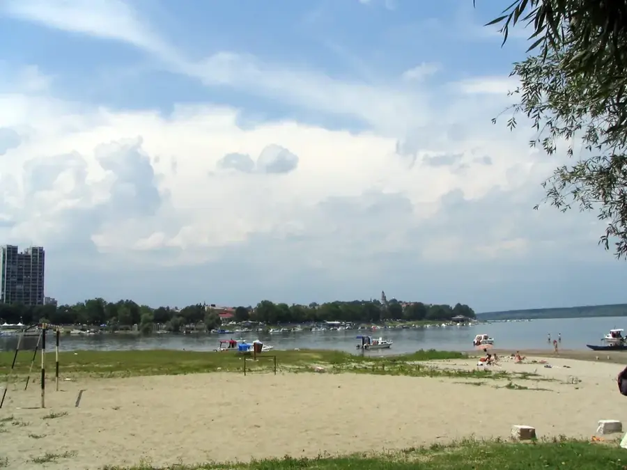
The Tamiš is a prominent river in the Banat region, originating in the Semenic Mountains of Romania and flowing through Serbia. It has a total length of approximately 359 kilometers, with 118 kilometers located on Serbian territory. The river flows into the Danube near the city of Pančevo, forming a vital hydrological connection. During its course through the Pannonian Plain, the Tamiš has a low gradient, leading to the formation of numerous meanders and oxbow lakes. These areas are ecologically valuable, providing habitats for many fish species and waterfowl. Historically, the river was of great significance for navigation and trade within the region. Today, it plays a central role in the irrigation of agricultural lands in Banat and in flood protection management. The riverbanks near Pančevo and along smaller settlements like Jaša Tomić are extensively used for fishing and recreational activities.
- Location: Serbia
- Nearby: Pančevo (5 km)
Best time to visit & climate
The most pleasant time to visit is Jun, Aug, Sep.
| Jan | Feb | Mar | Apr | May | Jun | Jul | Aug | Sep | Oct | Nov | Dec | |
|---|---|---|---|---|---|---|---|---|---|---|---|---|
| Avg °C | 0 | 2 | 7 | 13 | 18 | 22 | 24 | 24 | 19 | 13 | 7 | 1 |
| Rain mm | 48 | 46 | 50 | 50 | 78 | 83 | 63 | 55 | 56 | 54 | 47 | 47 |
📋 Practical info
Geography
Facts
- The total length of the Tamiš is 359 kilometers from source to mouth.
- The river joins the Danube at the city of Pančevo in Vojvodina.
- Approximately 118 kilometers of the river's course lie within Serbian borders.
- The river's drainage basin covers an area of about 13,085 square kilometers.
- The Tamiš flows through key locations such as Jaša Tomić, Sečanj, and Pančevo.
- Two historical lighthouses built in 1909 stand at the confluence in Pančevo.
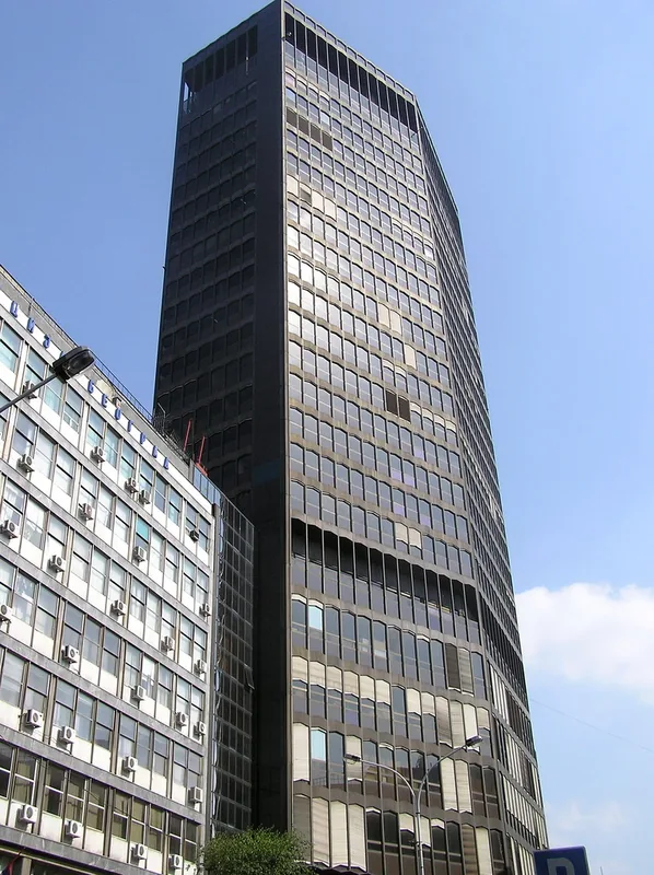
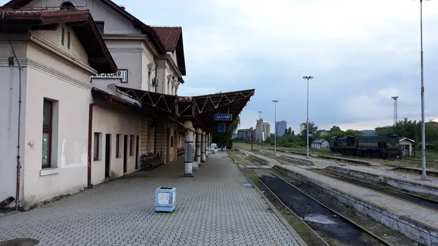
Explore nearby
Notable places around
Route planner — Car & Motorhome
Where do you start? We build the route here, with stops and country notes along the way.
© OpenStreetMap contributors · OpenRouteService
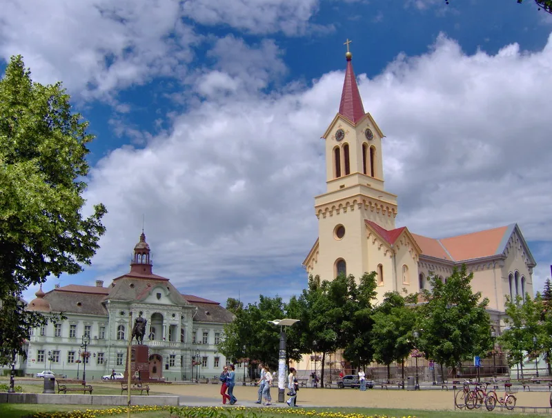
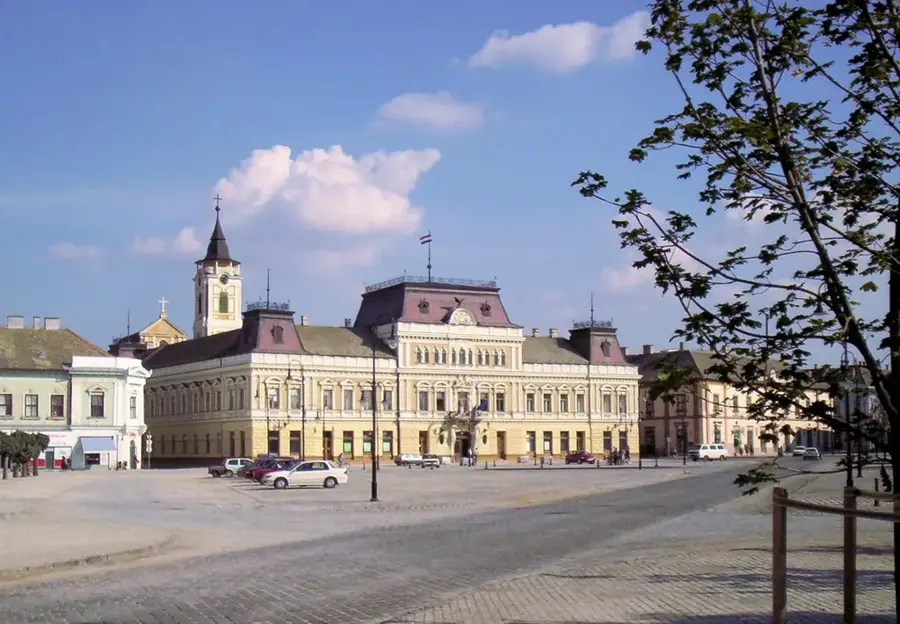
Sights in the town Tamiš (1)
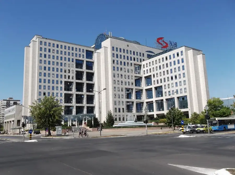
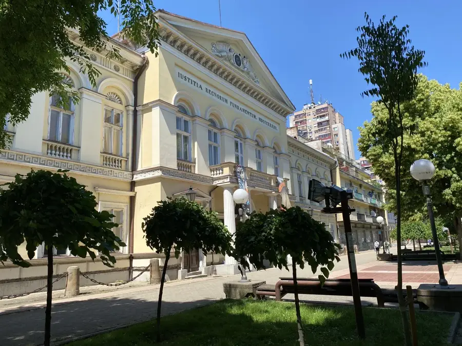
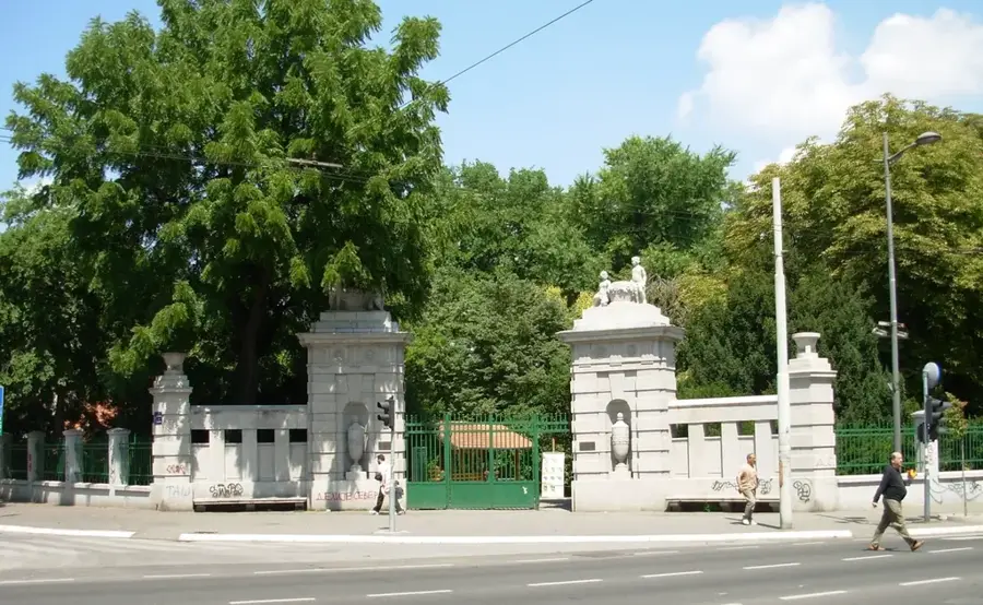
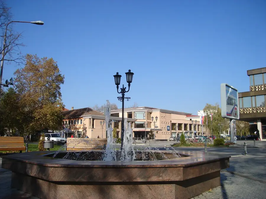
Sights nearby
Frequently asked questions
Where is the mouth of the Tamiš?
What is the origin of the name?
Can you go canoeing on the river?
Are there floodplains?
Which fish are in the Tamiš?
Tamiš: where is it located?
Tamiš: when is the best time to visit?
Tamiš: why is it worth visiting?

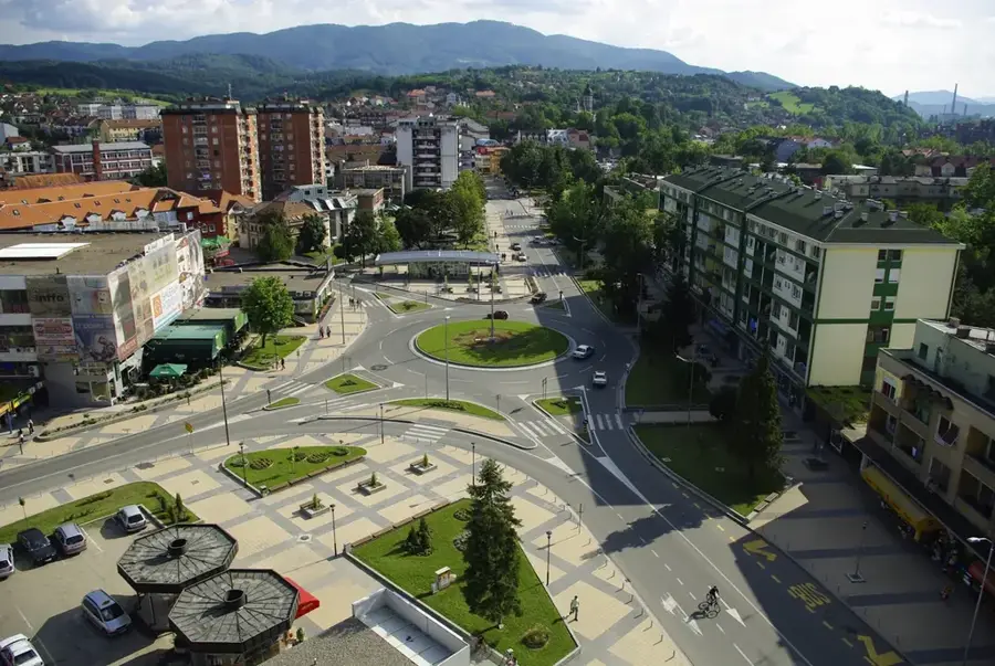
Nearby cities
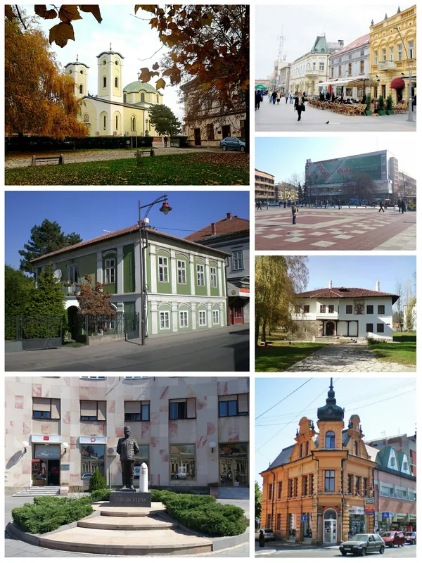
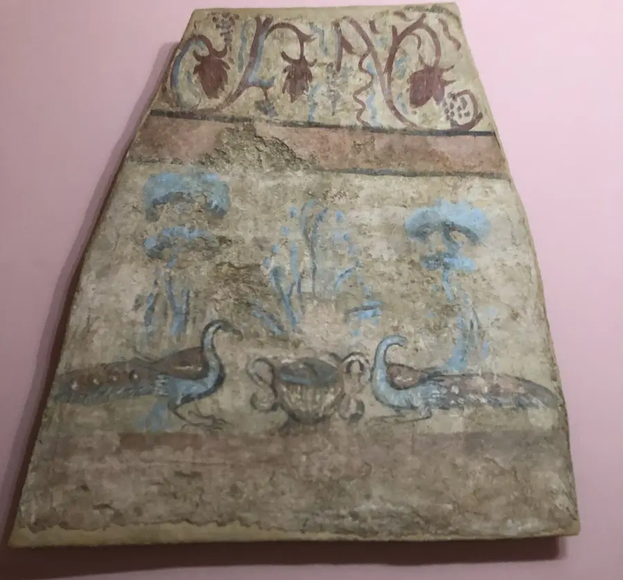
History & landmarks
Nature
More places