Plizio Visual Lab
Tamiš River

Weather…
Water temperature…
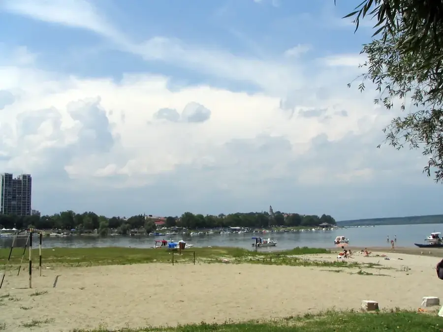
The Tamiš River originates in the Romanian Carpathians and flows through the southern part of the Pannonian Plain before discharging into the Danube near Pančevo, Serbia. With a total length of 359 kilometers, of which 118 kilometers are within Serbian borders, it serves as one of the most vital waterways in the Banat region. Its drainage basin covers over 13,000 square kilometers and is characterized by fertile agricultural land that relies on the river for irrigation. During the 19th century, extensive regulation projects were undertaken to drain the formerly vast marshlands and facilitate navigation. Today, the Tamiš is not only economically important but also a significant habitat for various fish species, including catfish and pike-perch, and numerous protected waterfowl. The riverbanks are lined with gallery forests of willow and poplar, providing an essential ecological corridor through the steppe-like plains. Historical towns such as Sečanj and Orlovat have cultures deeply intertwined with the river's flows, reflecting a history of fishing and river trade.
- Location: Serbia
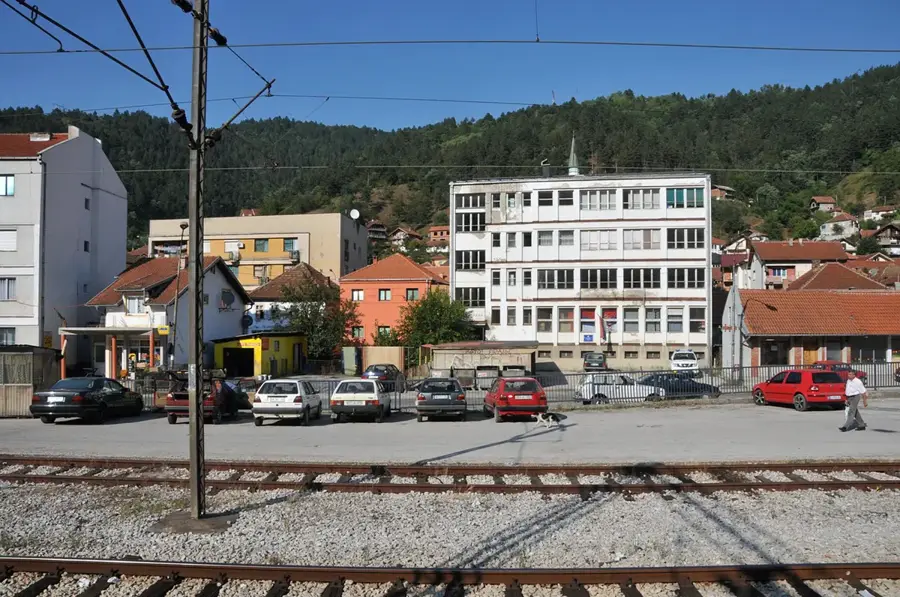
- Nearby: Pančevo (31 km)
Best time to visit & climate
The most pleasant time to visit is Jun, Aug, Sep.
| Jan | Feb | Mar | Apr | May | Jun | Jul | Aug | Sep | Oct | Nov | Dec | |
|---|---|---|---|---|---|---|---|---|---|---|---|---|
| Avg °C | 0 | 2 | 7 | 13 | 18 | 22 | 24 | 24 | 19 | 13 | 7 | 1 |
| Rain mm | 48 | 46 | 50 | 50 | 78 | 83 | 63 | 55 | 56 | 54 | 47 | 47 |
📋 Practical info
Geography
Facts
- The river's total length is 359 kilometers.
- A stretch of 118 kilometers flows through Serbian territory.
- It joins the Danube at the city of Pančevo.
- The river basin encompasses 13,085 square kilometers.
- The Romanian name for the river is Timiș.
- Large-scale regulation works were completed in the 19th century.
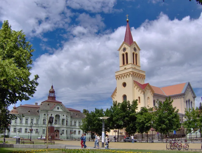
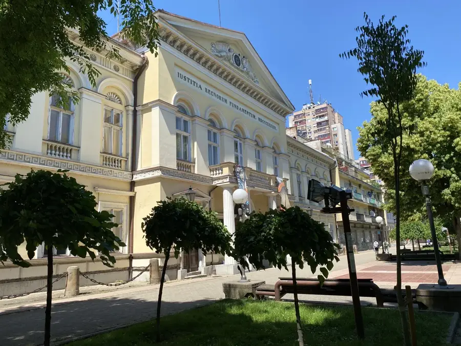
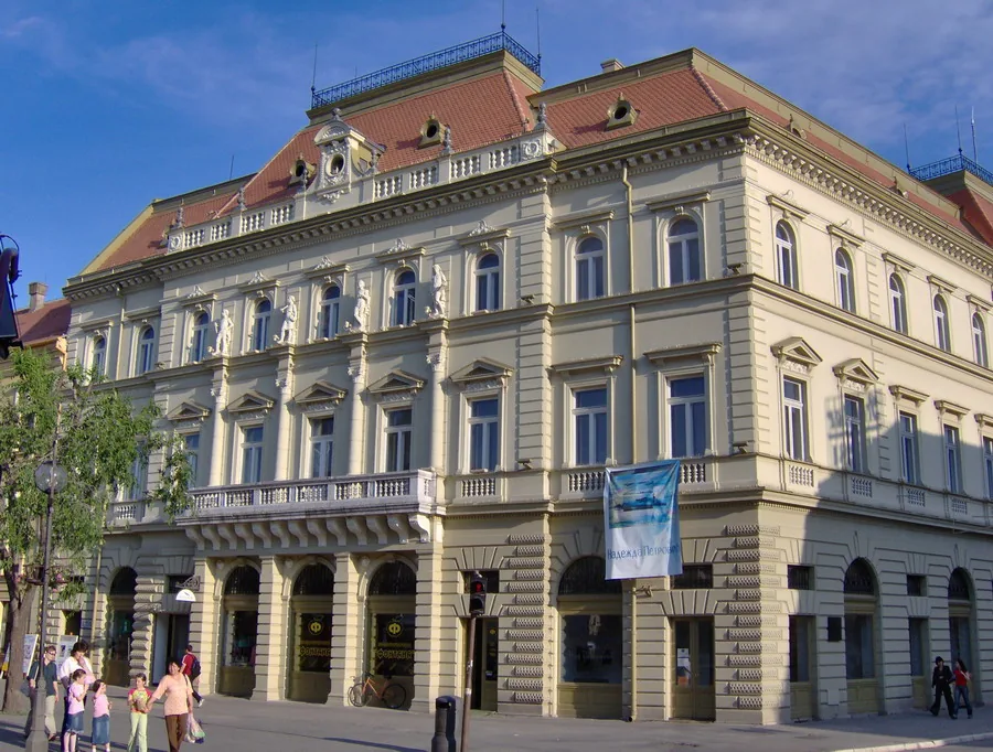
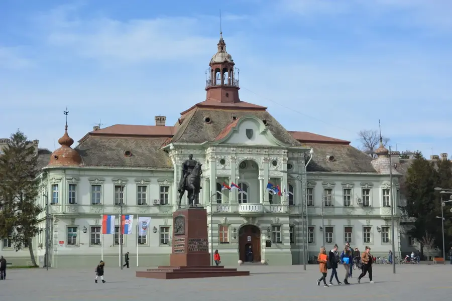
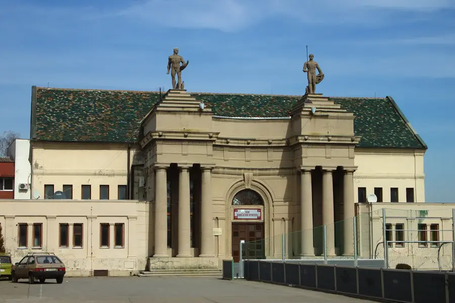
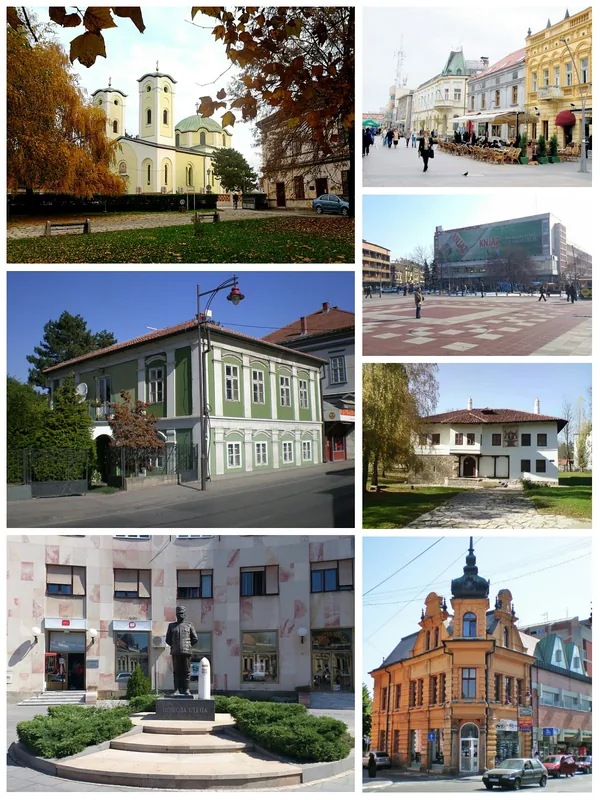
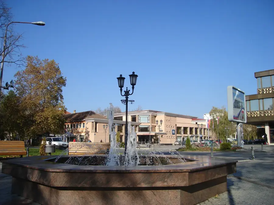
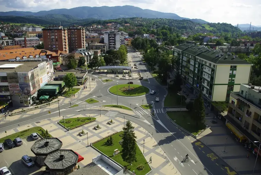
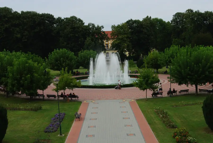
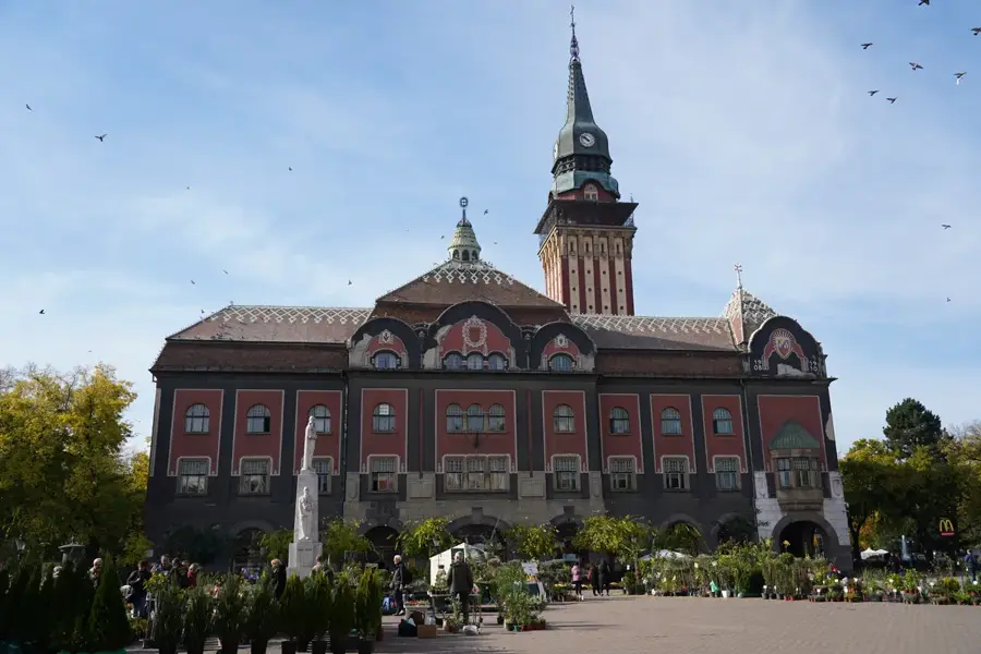
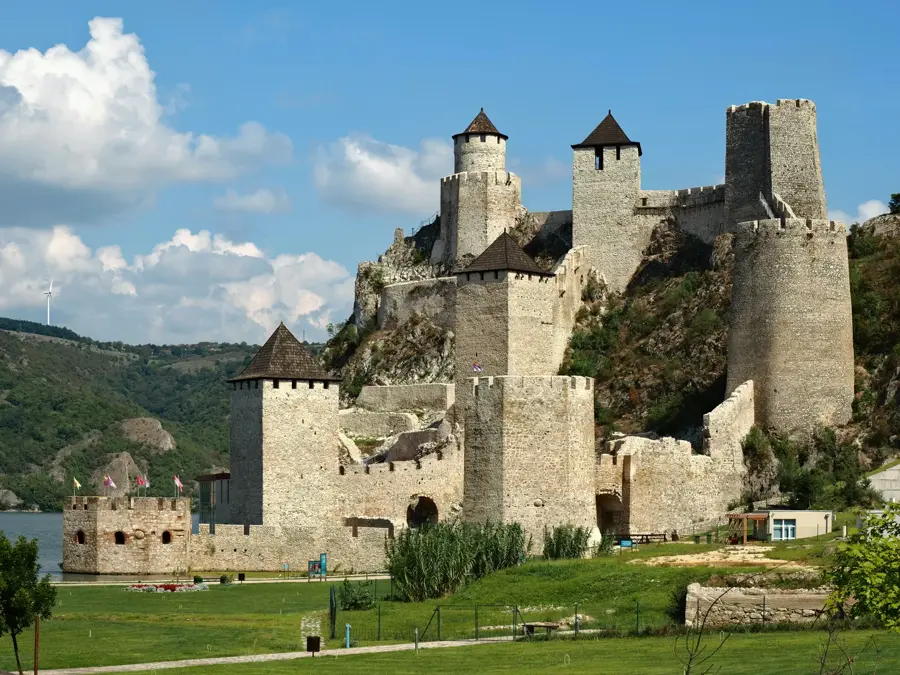
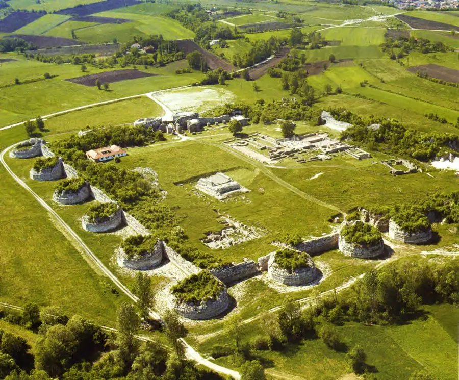
Explore nearby
Notable places around
Route planner — Car & Motorhome
Where do you start? We build the route here, with stops and country notes along the way.
© OpenStreetMap contributors · OpenRouteService
Sights nearby
Frequently asked questions
Where does the Tamiš flow into?
Can you go fishing on the river?
Are there beaches along the Tamiš?
Is the river navigable?
Where does the river originate?
Tamiš River: where is it located?
Tamiš River: when is the best time to visit?
Tamiš River: why is it worth visiting?

Nearby cities
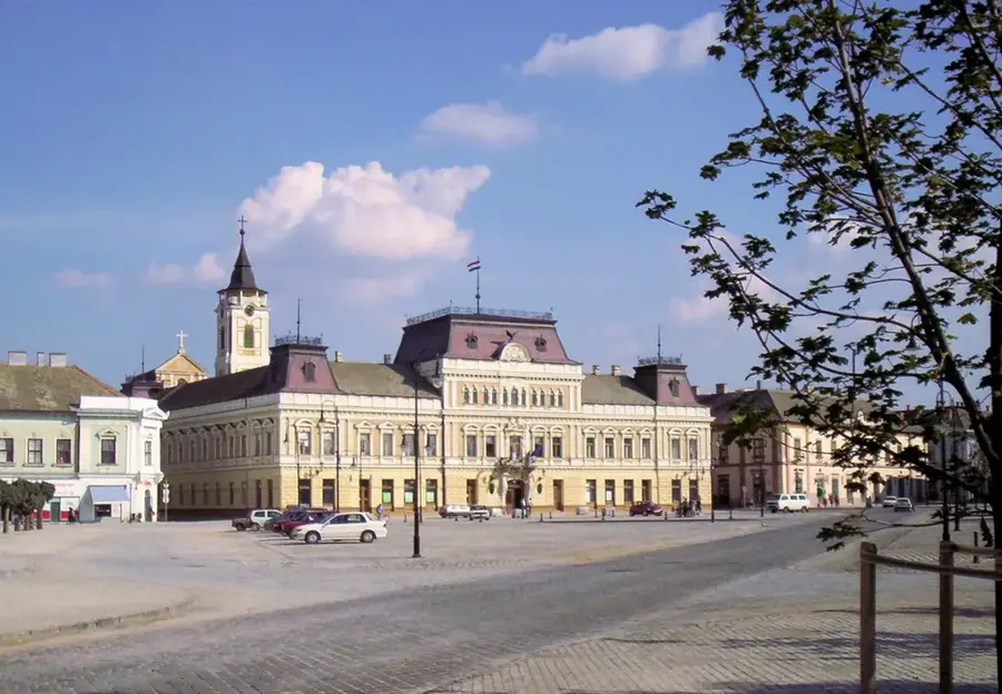
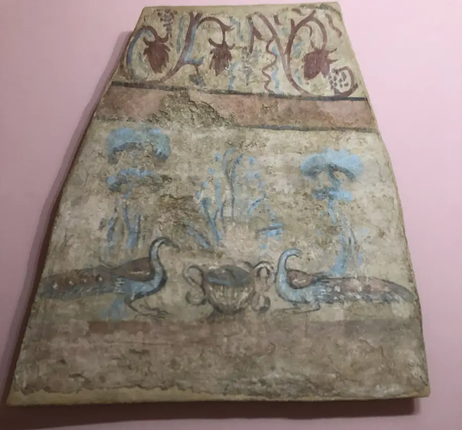
History & landmarks
Nature
More places