Plizio Visual Lab
Raška planina
Weather…
Water temperature…
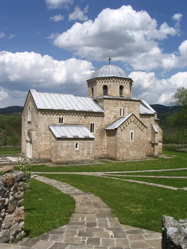
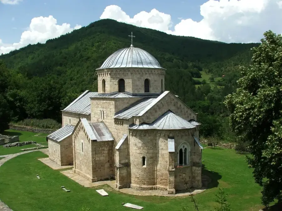
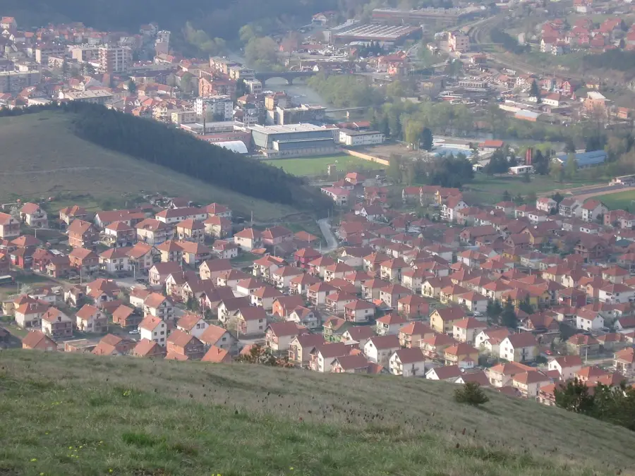
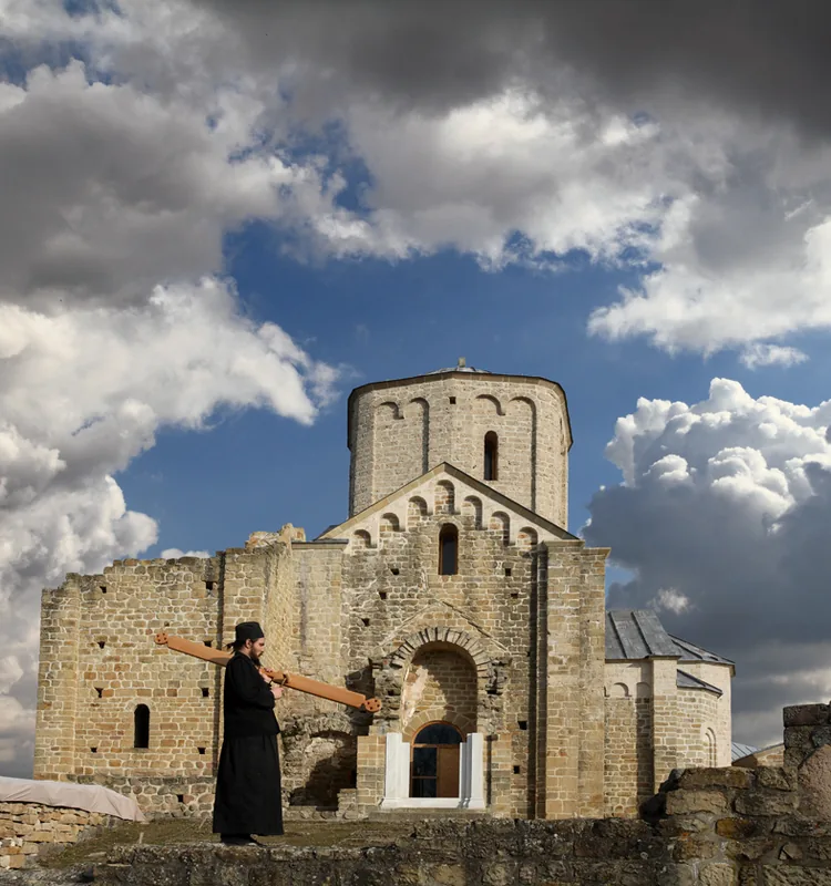
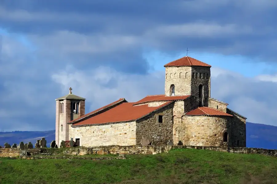
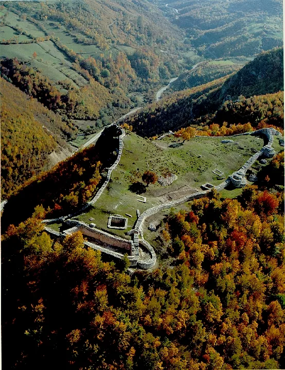
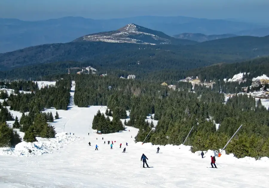
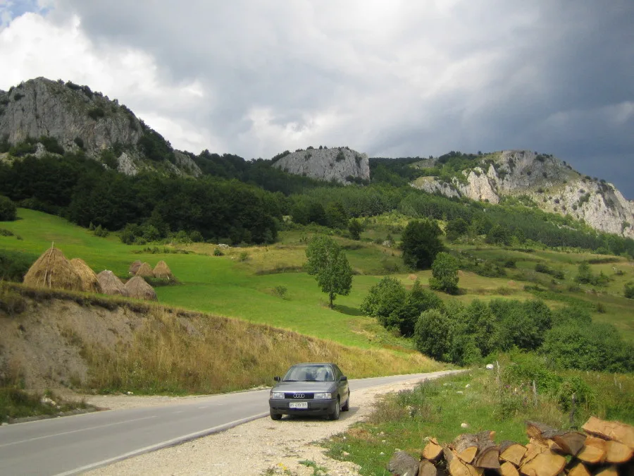
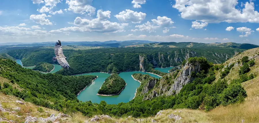
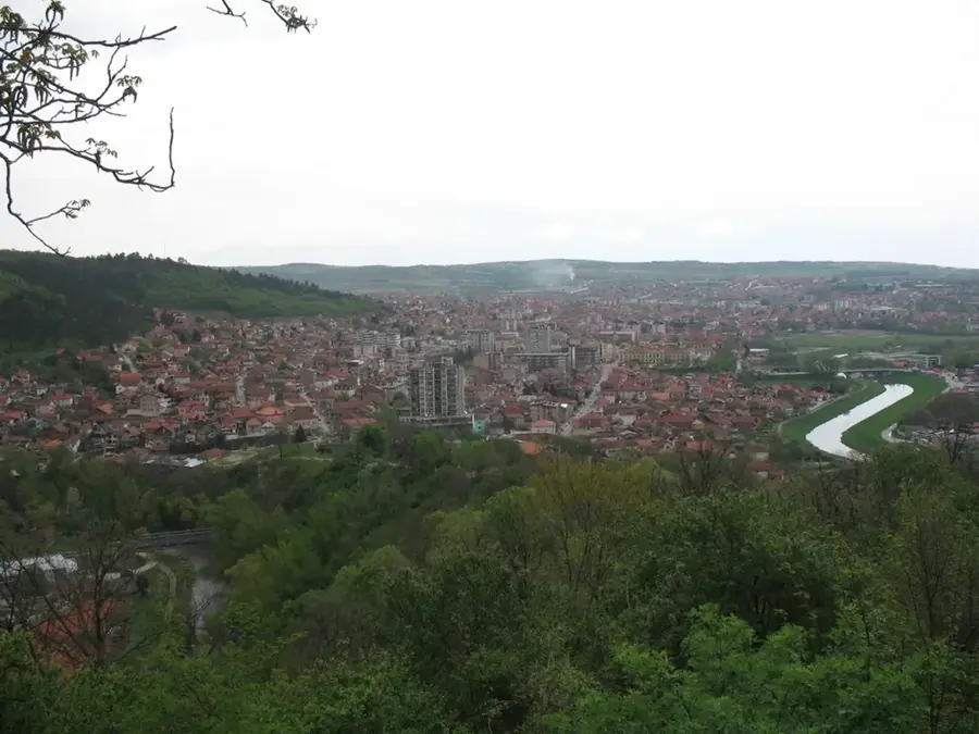
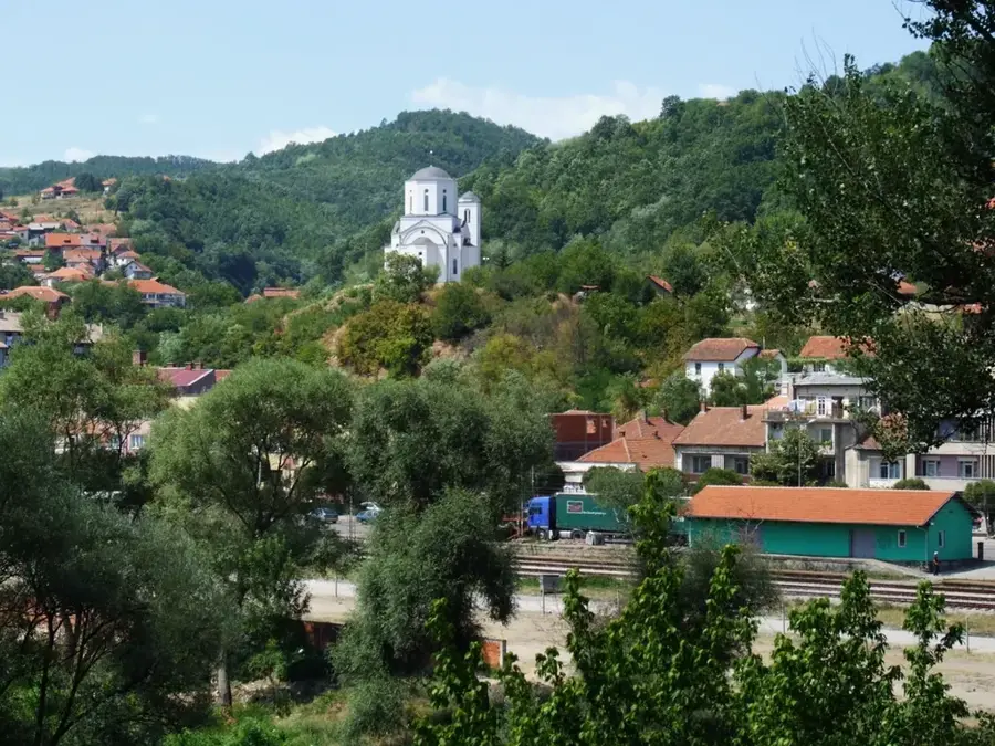
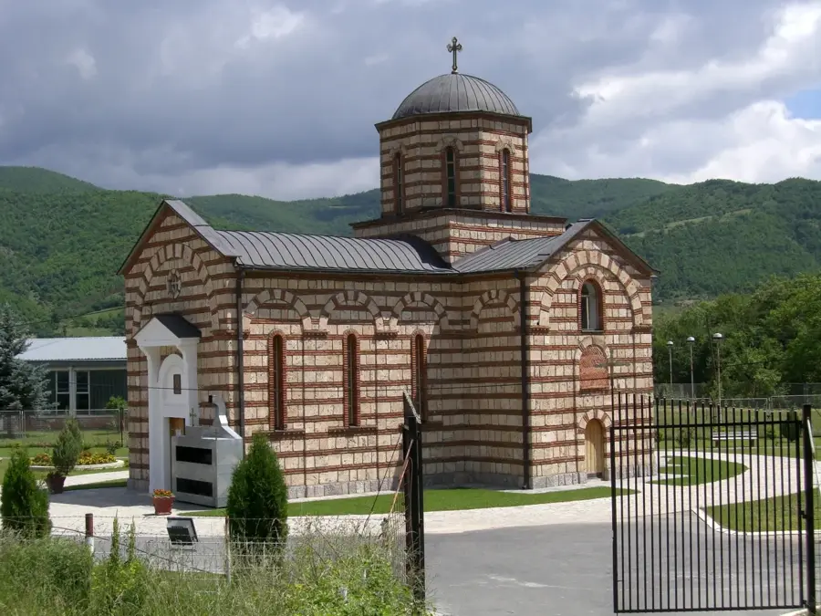
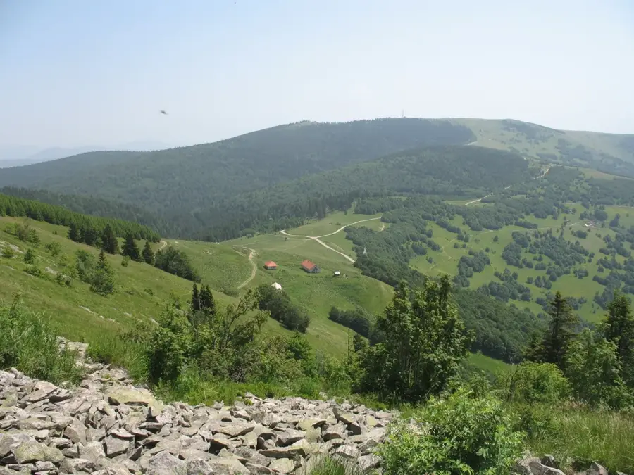
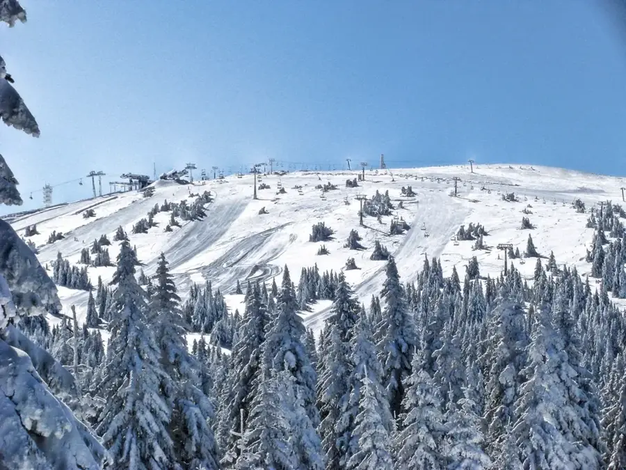
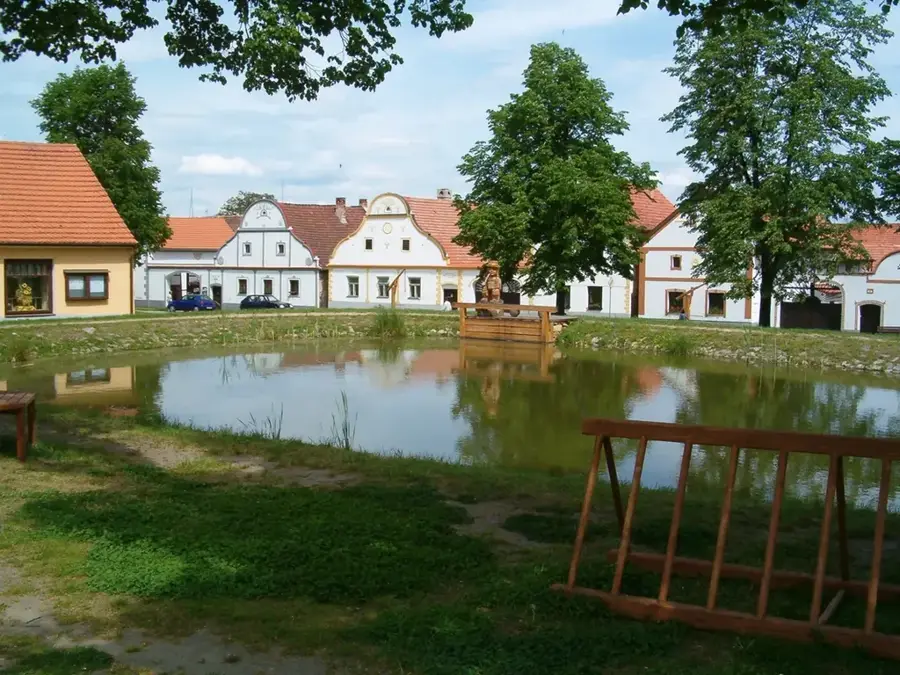
Raška planina is a significant mountain range in southwestern Serbia, located near the town of Raška and serving as a geographic link between the Kopaonik and Golija massifs. The area is steeped in medieval Serbian history, as it formed part of the core territory of the state of Rascia, the cradle of the Nemanjić dynasty. The landscape is characterized by rugged terrain, steep slopes, and deep river valleys, with elevations frequently exceeding 1,200 meters above sea level. Geologically, the mountain is composed of varied rock formations, including igneous rocks that supported extensive silver and lead mining operations as far back as the 13th century. The mountain is covered by vast forests of beech and fir, providing a sanctuary for diverse wildlife such as wolves, deer, and golden eagles. While it remains less commercialized than the neighboring Kopaonik, it provides exceptional opportunities for hiking and exploring undisturbed nature. Its proximity to the Ibar river valley makes it strategically important and accessible for travelers exploring the historic landmarks of central Serbia.
- Location: Serbia
- Top sights: Nosoljin · Vrtine · Milatkoviće
- Nearby: Kopaonik (22 km)
Best time to visit & climate
The most pleasant time to visit is Jun–Aug.
| Jan | Feb | Mar | Apr | May | Jun | Jul | Aug | Sep | Oct | Nov | Dec | |
|---|---|---|---|---|---|---|---|---|---|---|---|---|
| Avg °C | -2 | -1 | 3 | 8 | 13 | 17 | 20 | 20 | 15 | 10 | 5 | -1 |
| Rain mm | 58 | 56 | 69 | 70 | 95 | 96 | 74 | 62 | 63 | 68 | 63 | 62 |
📋 Practical info
Geography
Facts
- The mountain is situated within the historic region of Rascia (Raška).
- The primary peaks reach elevations exceeding 1,200 meters.
- It is located directly to the west of the strategic Ibar River valley.
- The geological structure is dominated by igneous and metamorphic rocks.
- Silver and lead mining flourished here during the medieval Serbian era.
- The area functions as an ecological corridor between Kopaonik and Golija.
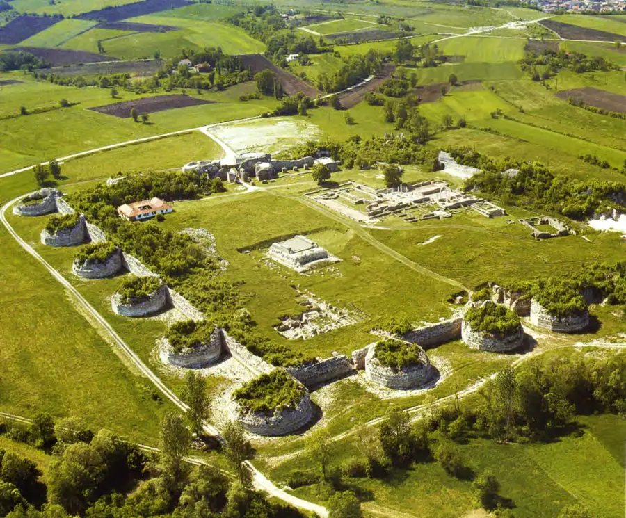
Explore nearby
Notable places around
Route planner — Car & Motorhome
Where do you start? We build the route here, with stops and country notes along the way.
© OpenStreetMap contributors · OpenRouteService
Sights in the town Raška planina (3)
Sights nearby
Frequently asked questions
Where is Raška planina located?
Is it part of a larger massif?
What is the main feature of these mountains?
Are there hiking trails?
Which rivers flow nearby?
Raška planina: where is it located?
Raška planina: what is there to see?
Raška planina: when is the best time to visit?
Raška planina: why is it worth visiting?

Nearby cities

History & landmarks
Nature


More places