Plizio Visual Lab
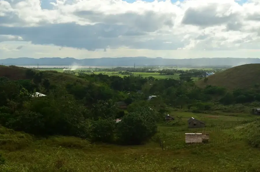
Casamance valley floor

Weather…
Water temperature…
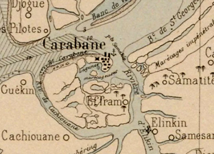
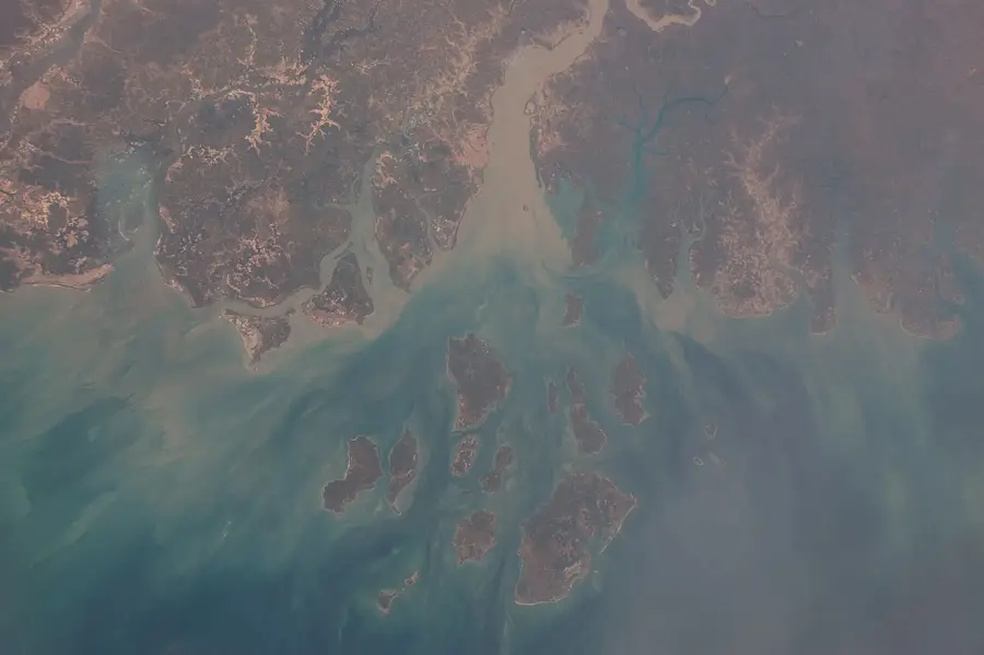
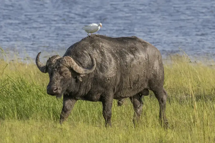
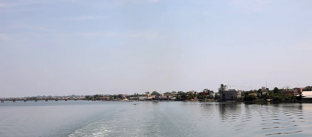
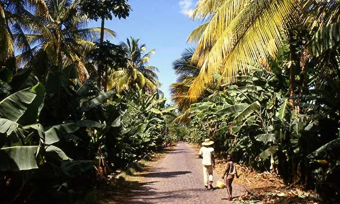
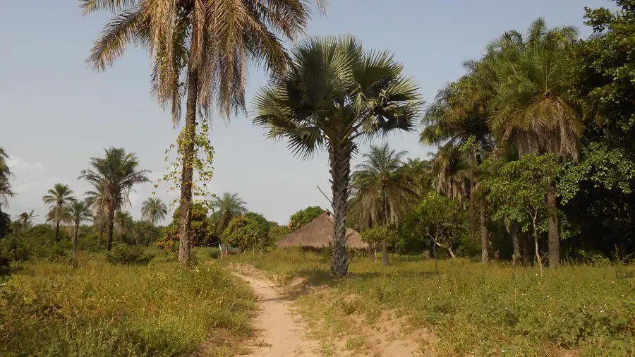
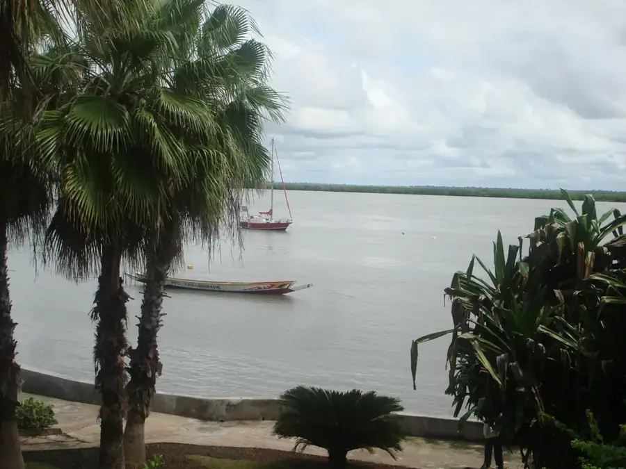
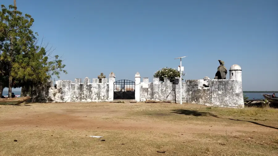
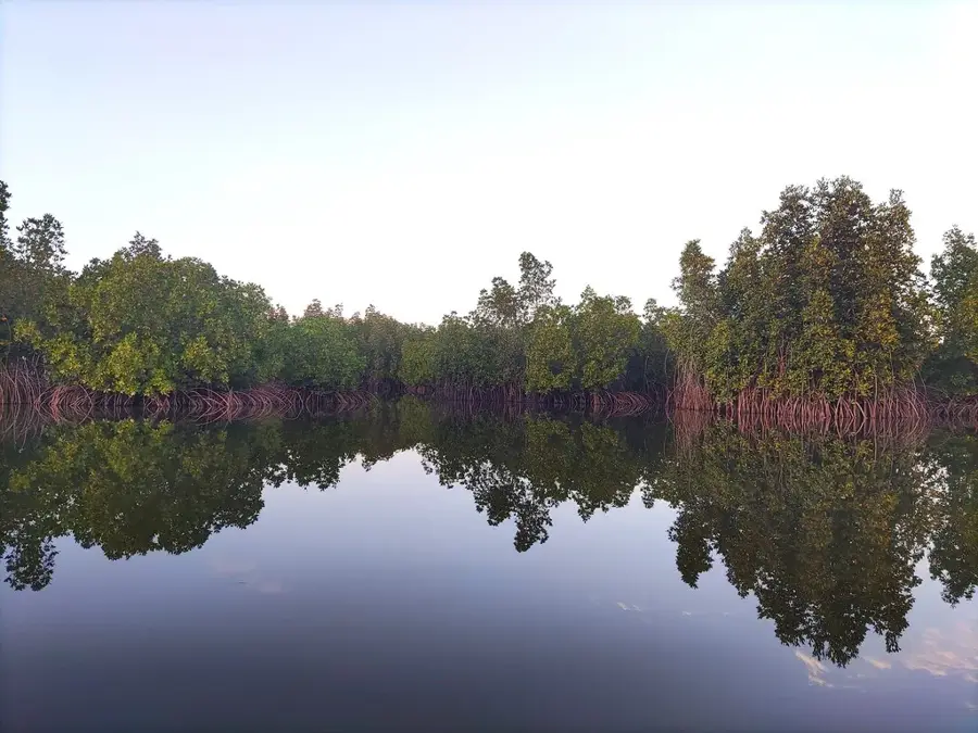
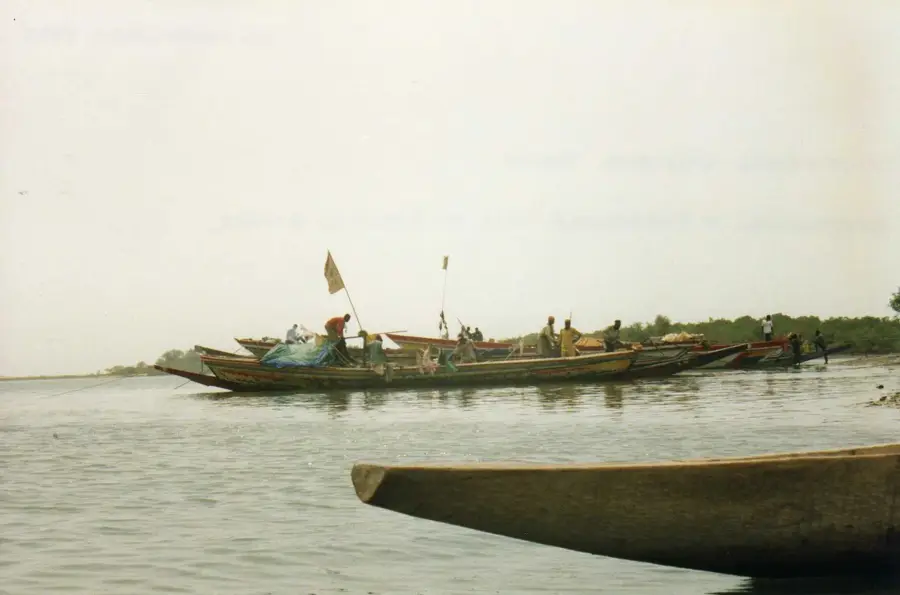
The Casamance valley in southern Senegal represents a geographical distinction, as it is separated from the rest of the country by the nation of The Gambia. The valley is traversed by the Casamance River, which functions as a deep estuary reaching far inland and is lined with extensive mangrove forests. Due to higher rainfall compared to the north, the region is characterized by lush vegetation and tropical forests. Traditional agriculture here is primarily based on rice cultivation in the floodplains, a practice deeply rooted in the culture of the Diola people. The valley has rich biodiversity, including numerous bird species, crocodiles, and hippos that inhabit the river's side channels. Historically, Casamance was a center of resistance against colonial powers and maintained its cultural autonomy for a long time. Today, the region is considered the potential breadbasket of the country, though it faces infrastructural challenges. Tourism development focuses on the natural beauty of the river valley and the pristine landscapes of the Basse-Casamance.
- Location: Senegal
- Nearby: Cap Skirring (64 km)
Best time to visit & climate
The most pleasant time to visit is Jan, Feb, Dec.
| Jan | Feb | Mar | Apr | May | Jun | Jul | Aug | Sep | Oct | Nov | Dec | |
|---|---|---|---|---|---|---|---|---|---|---|---|---|
| Avg °C | 24 | 26 | 28 | 29 | 29 | 29 | 27 | 26 | 26 | 27 | 26 | 23 |
| Rain mm | 1 | 0 | 15 | 2 | 9 | 108 | 312 | 438 | 315 | 133 | 8 | 0 |
📋 Practical info
Geography
Facts
- The Casamance River is approximately 320 km long, much of which is navigable.
- Annual rainfall in the valley reaches up to 1,500 mm.
- Mangrove forests cover vast areas of the estuary in the lower course.
- The region hosts Senegal's largest rice-growing area.
- The river estuary is so deep that saltwater penetrates up to 200 km inland.
- The highest elevation in the region is only about 50 meters above sea level.
Explore nearby
Notable places around
Route planner — Car & Motorhome
Where do you start? We build the route here, with stops and country notes along the way.
© OpenStreetMap contributors · OpenRouteService
Sights in the town Casamance valley floor (1)
Sights nearby
Frequently asked questions
Why is the Casamance valley a popular destination?
What is the best way to travel there?
What should one taste?
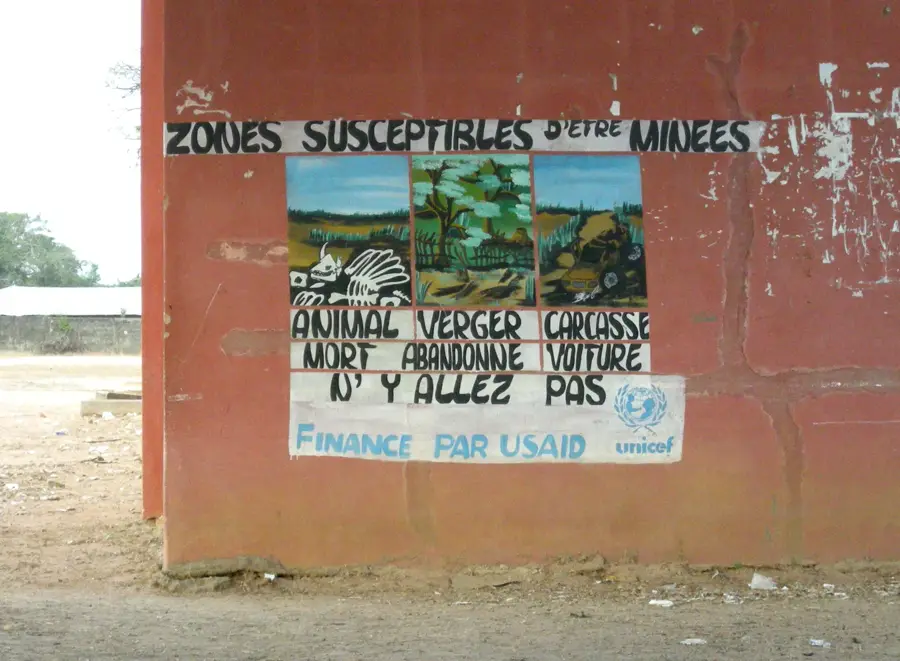
Is the region safe for travelers?
Are there many mosquitoes?
Casamance valley floor: where is it located?
Casamance valley floor: when is the best time to visit?
Casamance valley floor: why is it worth visiting?

Nearby cities

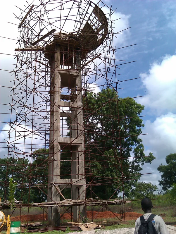
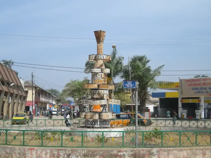
History & landmarks

Nature
More places