Plizio Visual Lab
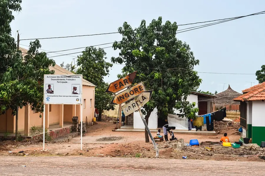
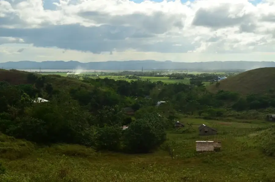
Cacheu River

Weather…
Water temperature…
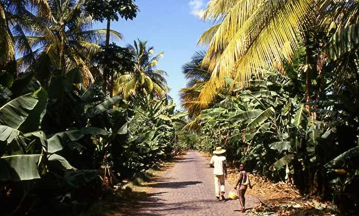
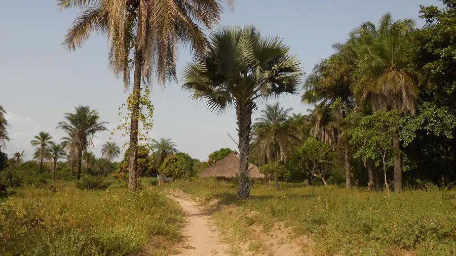
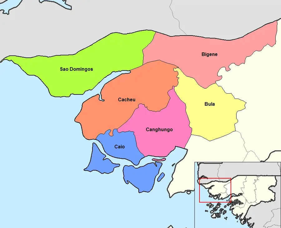
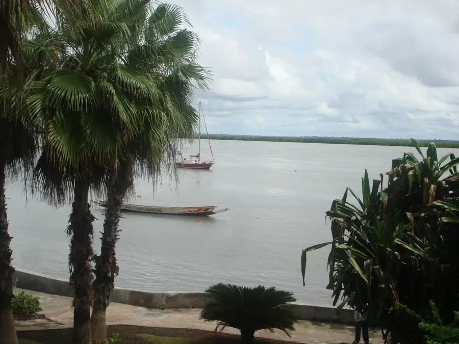
The Cacheu River, located in northern Guinea-Bissau, is one of the most ecologically intact rivers in West Africa and home to the country's largest mangrove forest. The river rises near the border with Senegal and flows westward, forming a vast delta before emptying into the Atlantic near the town of Cacheu. The nature of the Cacheu River is defined by an extreme tidal system that facilitates the exchange of nutrients between the sea and the interior. Established in 1997, the Rio Cacheu National Park (Tarrafes de Cacheu) protects over 62,000 hectares of this unique ecosystem. The 'Tarrafes' (mangroves) serve as a barrier against coastal erosion and provide habitat for rare animal species such as the West African manatee, hippos, and over 200 species of birds. For the local economy, the river is of inestimable value as a fishing ground and transport route. The water of the Cacheu is highly saline in its lower reaches, which has given rise to specialized flora and fauna. The river's silence and pristine nature make it a reference area for the protection of tropical wetlands. The dense root systems of the mangroves also provide protection for juvenile fish, ensuring fishing yields for the entire region.
- Location: Guinea-Bissau
- Nearby: Cacheu (7 km)
Best time to visit & climate
The most pleasant time to visit is Jan, Feb, Dec.
| Jan | Feb | Mar | Apr | May | Jun | Jul | Aug | Sep | Oct | Nov | Dec | |
|---|---|---|---|---|---|---|---|---|---|---|---|---|
| Avg °C | 24 | 26 | 27 | 27 | 28 | 28 | 27 | 27 | 27 | 28 | 27 | 25 |
| Rain mm | 1 | 0 | 7 | 1 | 10 | 111 | 369 | 494 | 353 | 175 | 11 | 0 |
📋 Practical info
Geography
Facts
- The Rio Cacheu National Park is the largest protected mangrove area in West Africa.
- The river is deep enough to allow ocean-going vessels to reach Farim.
- The water remains brackish far inland due to the low-lying topography.
- The region is an internationally recognized site for birdwatching.
- Mangrove wood is traditionally harvested for durable boat construction.
- The delta's intricate channels are home to rare dwarf crocodiles.
Explore nearby
Notable places around
Route planner — Car & Motorhome
Where do you start? We build the route here, with stops and country notes along the way.
© OpenStreetMap contributors · OpenRouteService
Sights nearby
Frequently asked questions
What is the Tarrafes de Cacheu Natural Park?
Can dolphins be seen in the river?
How deep is the Rio Cacheu?
Are there guided boat tours into the mangroves?
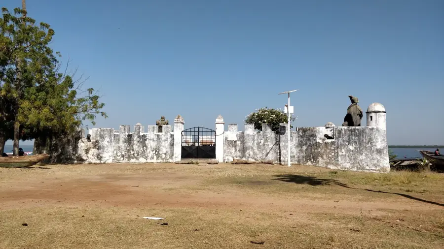
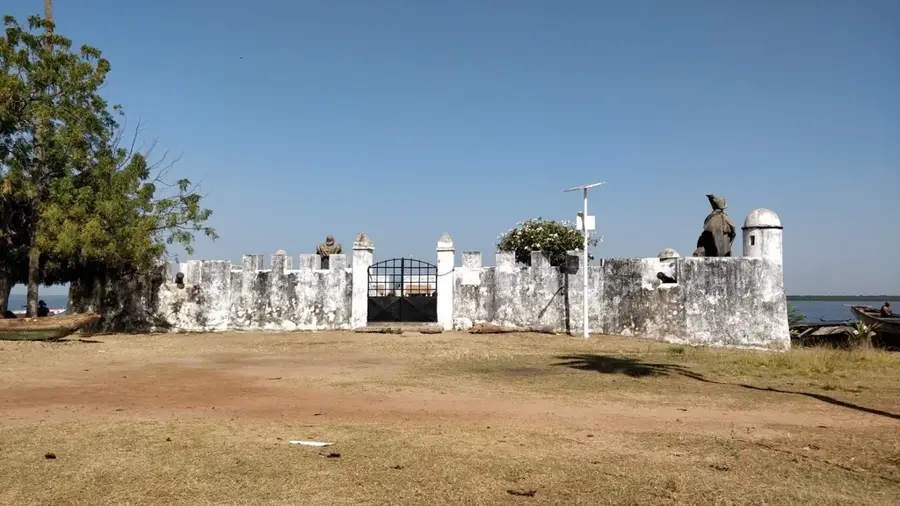
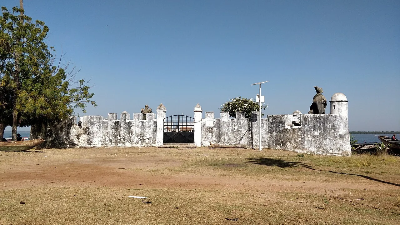
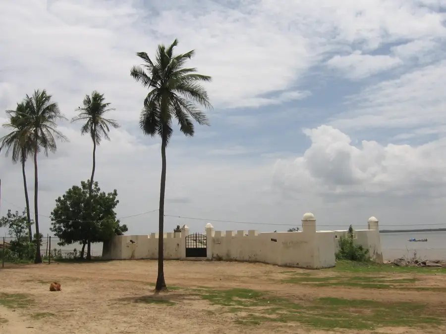
What historical significance does the river have?
Cacheu River: where is it located?
Cacheu River: when is the best time to visit?
Cacheu River: why is it worth visiting?

Nearby cities


History & landmarks
More places