Plizio Visual Lab
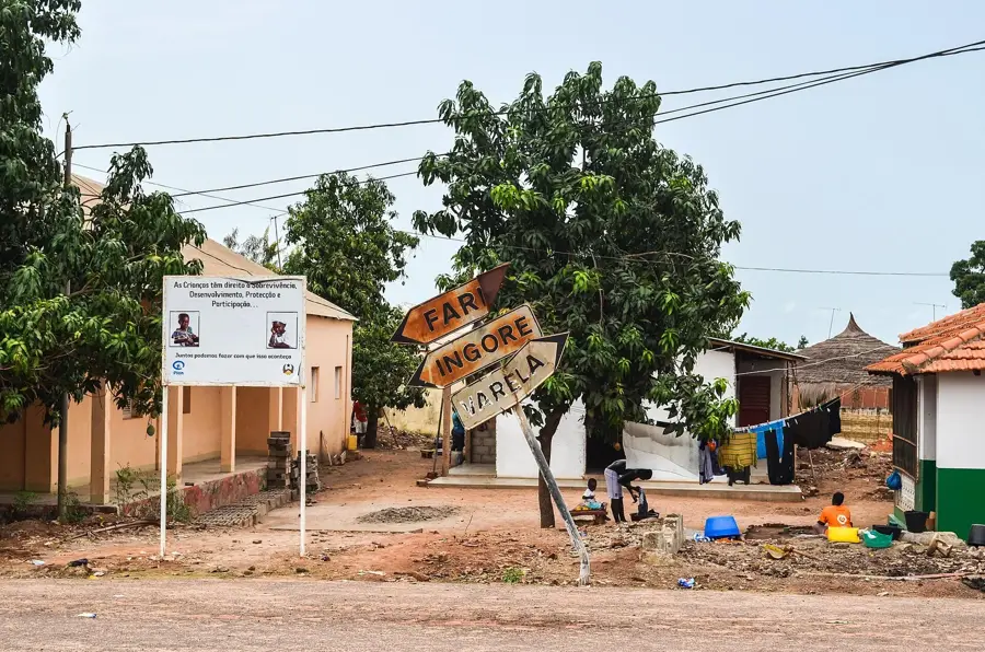
Ingoré
ℹ️Practical info — Ingoré
▾
🌤 Weather — 5 days
📍 Nearby
Sights nearby
💡 Tips
- Minibuses (toca-tocas) are the main transport to reach Ingoré from São Domingos or Bissau, but schedules are informal.
- The town is small; exploring on foot is the easiest way to get around.
- Learn a few words of Portuguese Creole (Kriol); it will greatly help you connect with locals.
- Power outages can be frequent, so carrying a power bank is highly recommended.
🍽 Food
Try the local fermented cashew juice, a specialty of the region.
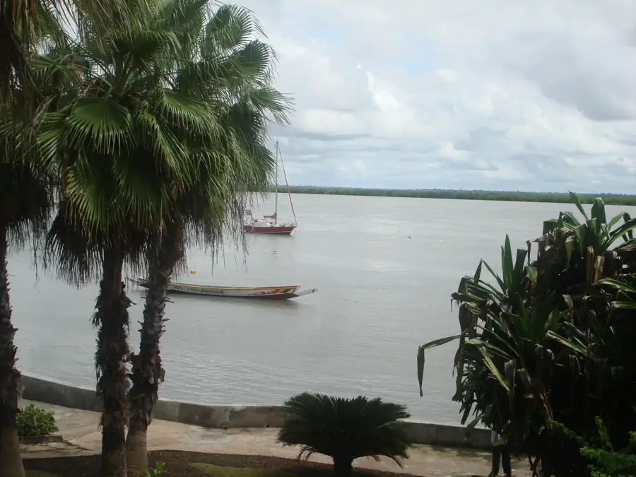
Enjoy freshly caught river fish at a small local eatery.
A hearty staple dish available at most roadside food stalls.
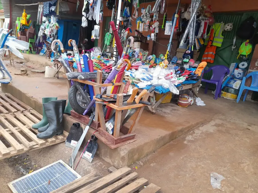
🛍 Shopping · 🧘 Quiet spots
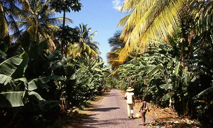
Browse for fresh fruits, especially cashews and mangoes in season.
Local shops sell bustling textiles typical of West Africa.
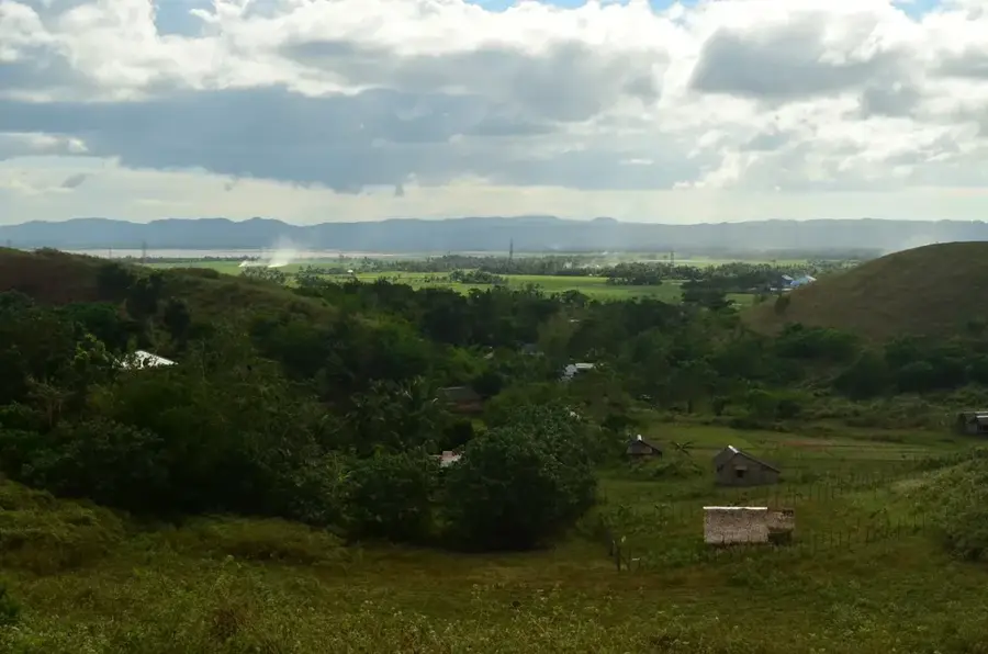
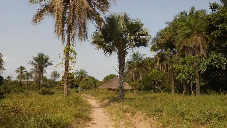
Take a quiet walk into the surrounding lush countryside to see the agricultural lifestyle.
Respectful visits to animist shrines in the nearby areas offer a peaceful cultural experience.
Water temperature…
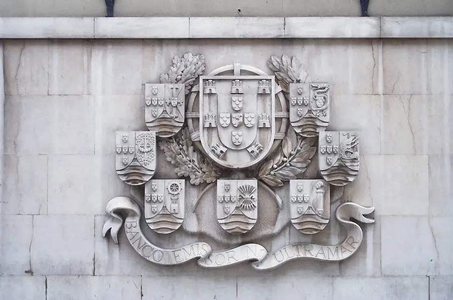
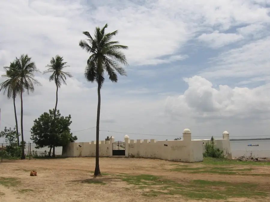
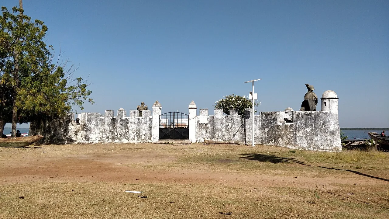
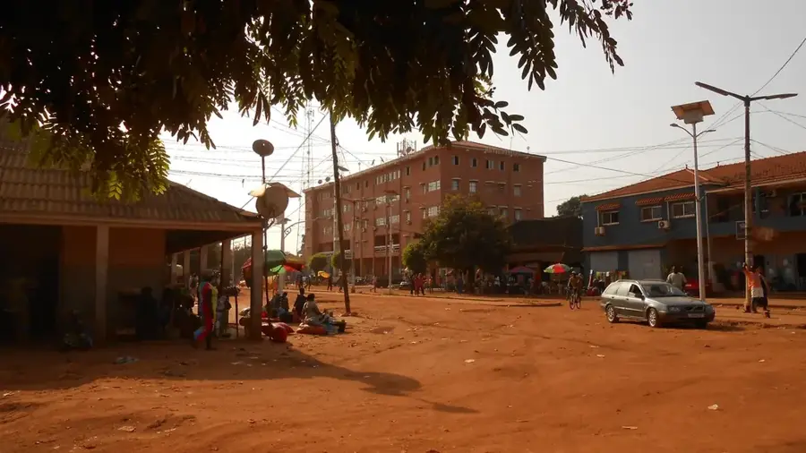
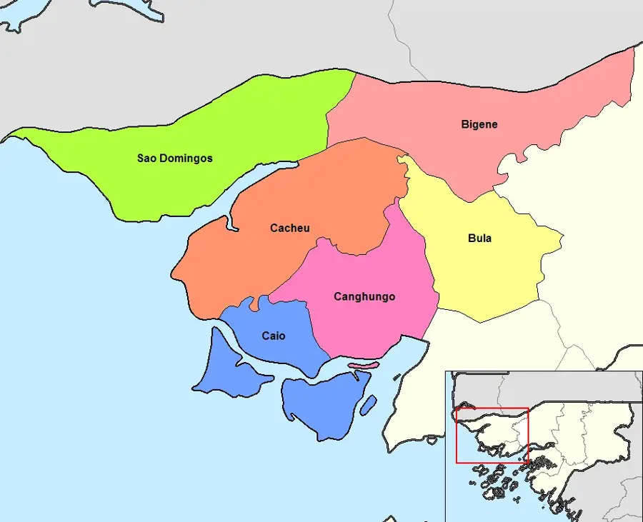
Ingoré is a strategically located town in the Cacheu Region of northern Guinea-Bissau. It is situated on the main highway connecting the capital, Bissau, with the Senegalese border at São Domingos. This position makes Ingoré a lively commercial hub where goods and travelers transit daily between the two countries. Geographically, the surrounding area is characterized by fertile soils good for large-scale cashew and peanut cultivation. During the colonial period, Ingoré served as an administrative checkpoint, and during the War of Independence, the region was a crucial supply base for the liberation movement due to its proximity to Senegal. The population is a mix of various ethnic groups, including the Balanta, Manjaco, and Mandinka, resulting in a lively cultural atmosphere. In recent years, Ingoré has gained importance following improvements to the road infrastructure, which has stimulated local economic growth. Nevertheless, the town continues to face challenges in providing healthcare and educational services.
- Location: Guinea-Bissau
- Nearby: Bigene (14 km)
- Population: ~9.189 (2023)
Best time to visit & climate
The most pleasant time to visit is Jan, Feb, Dec.
| Jan | Feb | Mar | Apr | May | Jun | Jul | Aug | Sep | Oct | Nov | Dec | |
|---|---|---|---|---|---|---|---|---|---|---|---|---|
| Avg °C | 24 | 26 | 28 | 29 | 29 | 29 | 27 | 26 | 26 | 27 | 26 | 23 |
| Rain mm | 1 | 0 | 15 | 2 | 9 | 108 | 312 | 438 | 315 | 133 | 8 | 0 |
Geography
Facts
- Ingoré is located on the main road connecting Bissau and Ziguinchor.
- The town belongs to the São Domingos sector within the Cacheu Region.
- Agriculture is the primary sector, specifically cashew nut cultivation.
- The Ingoré region is known for its traditional Manjaco weaving crafts.
- The town serves as a major transit stop for long-distance buses and trucks.
- There are ongoing efforts to improve the potable water supply in the urban area.
Explore nearby
Notable places around
Route planner — Car & Motorhome
Where do you start? We build the route here, with stops and country notes along the way.
© OpenStreetMap contributors · OpenRouteService
Frequently asked questions
What is Ingoré?
What to do during a stop?
Accessibility?
Is there food?
Safety?
Ingoré: where is it located?
Ingoré: when is the best time to visit?
Ingoré: why is it worth visiting?

Nearby cities

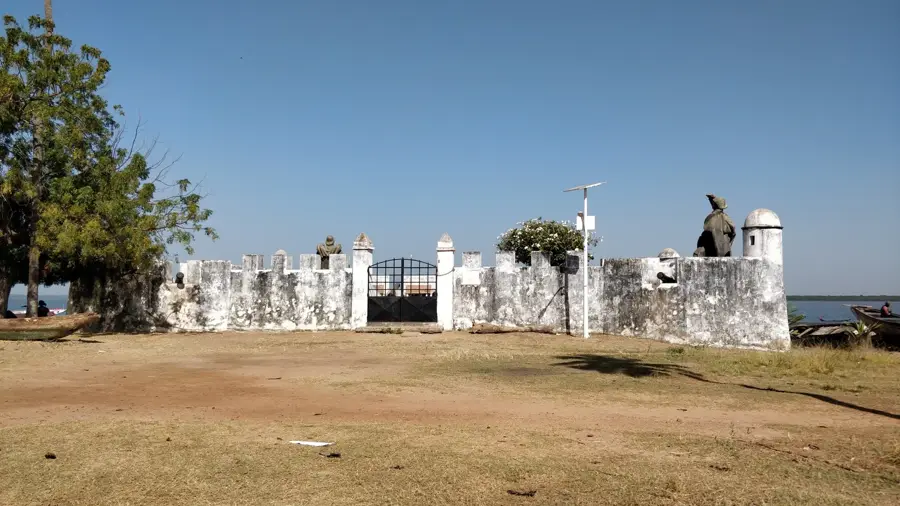
History & landmarks
Nature

More places