Plizio Visual Lab
Casamance hills
Weather…
Water temperature…
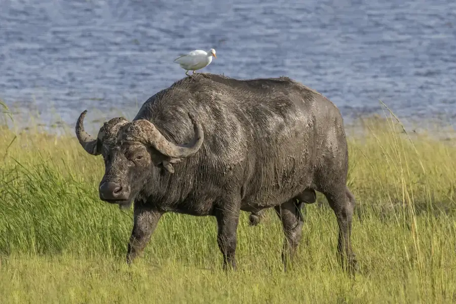
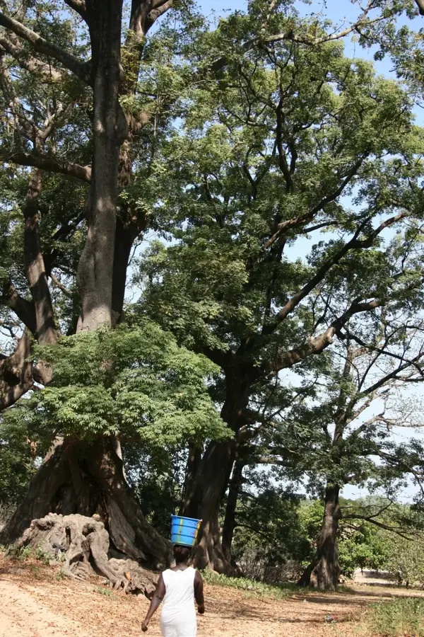
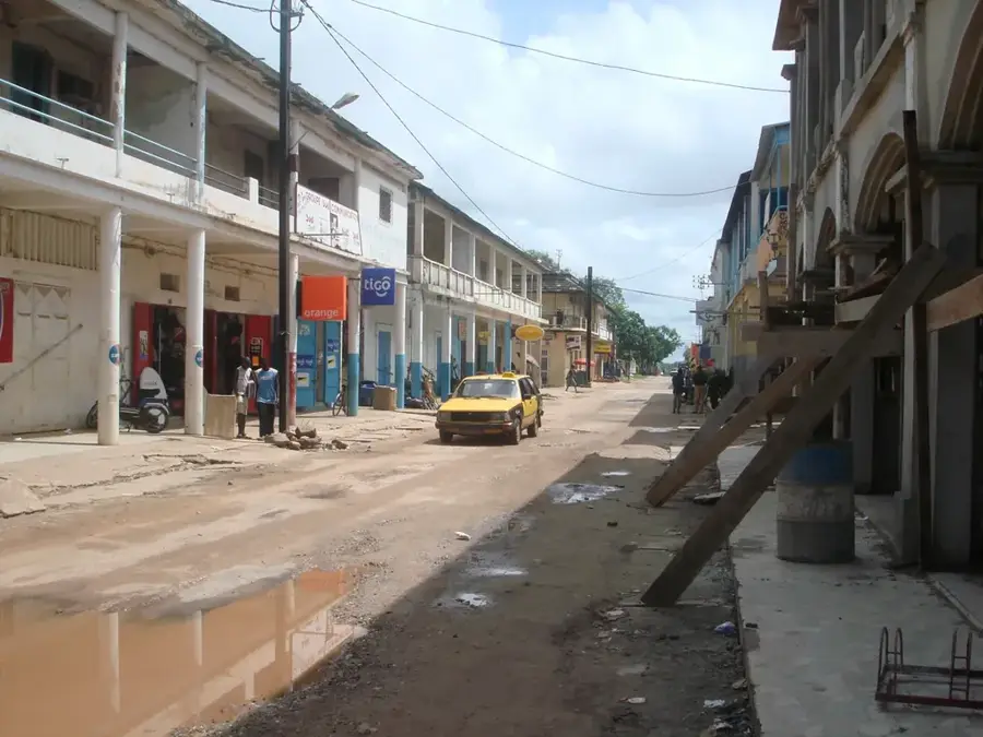
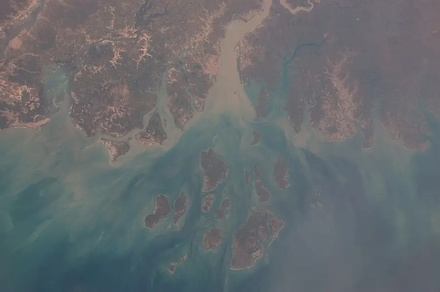
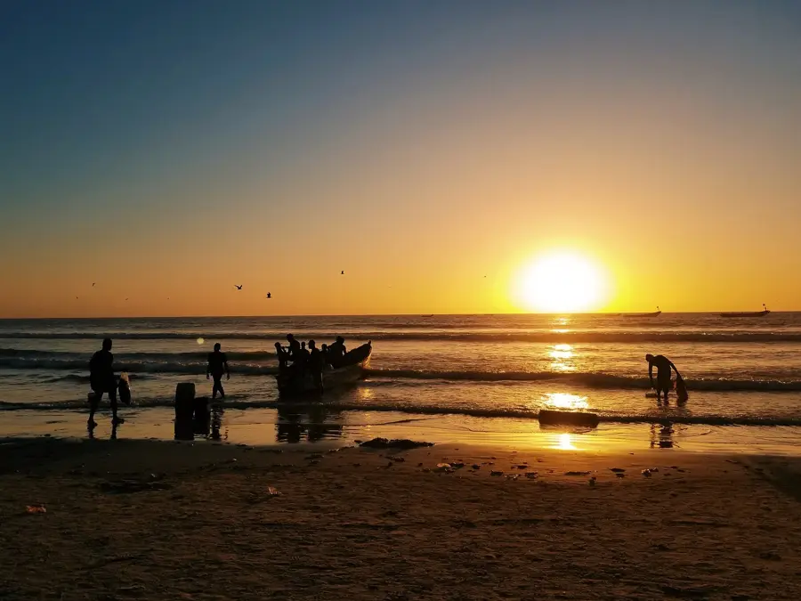
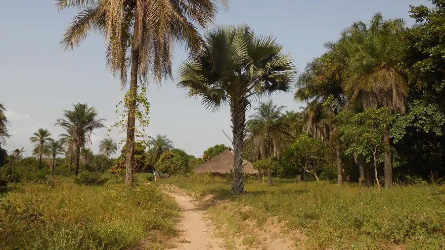
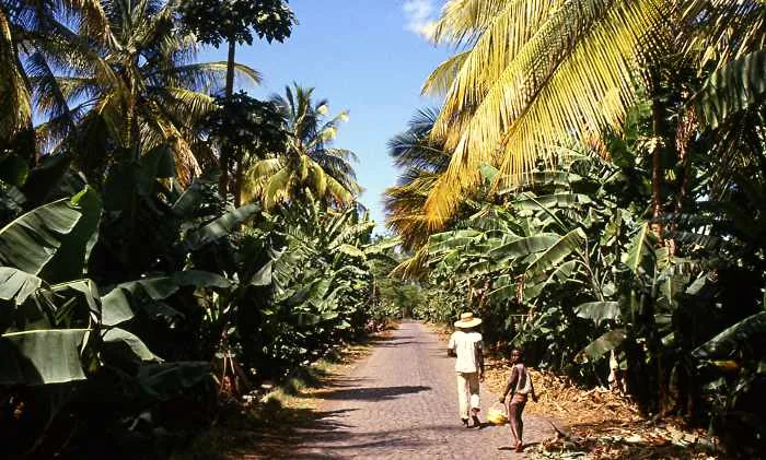
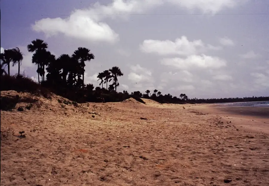
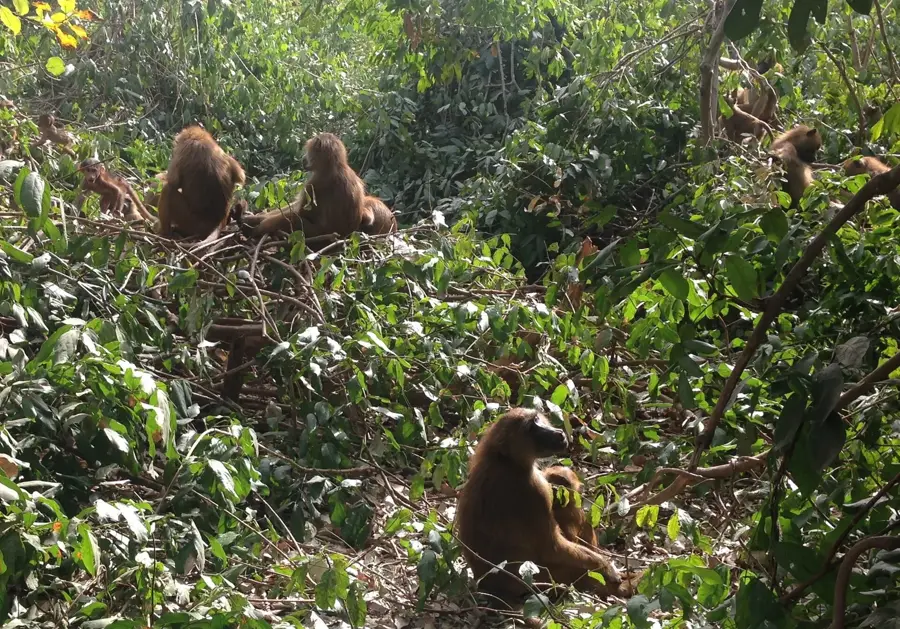
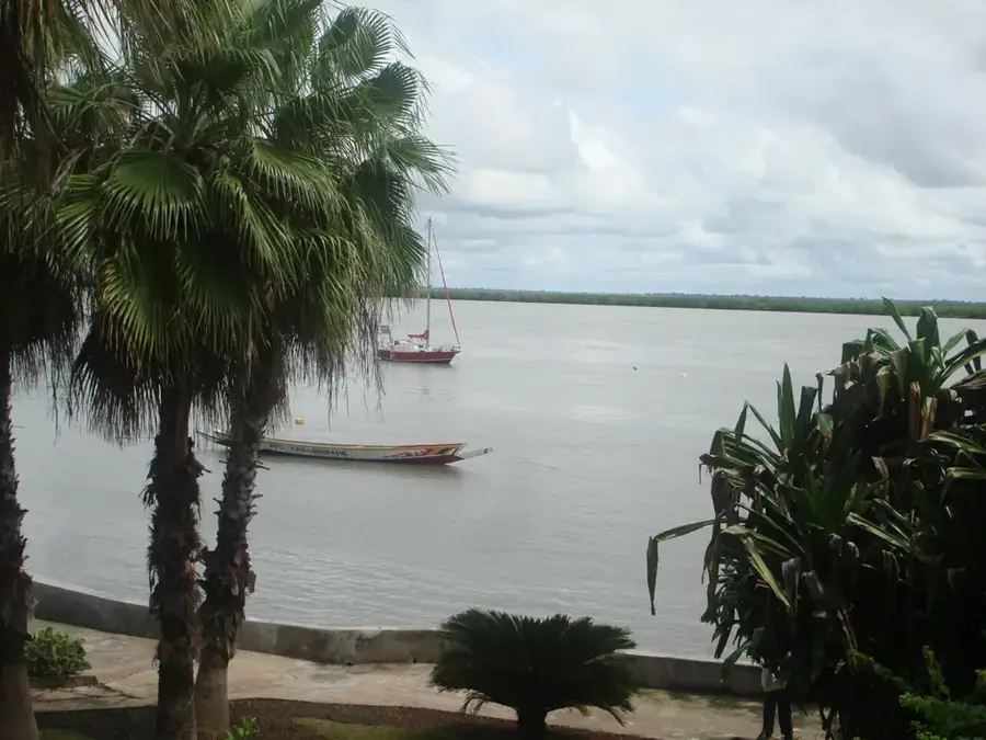
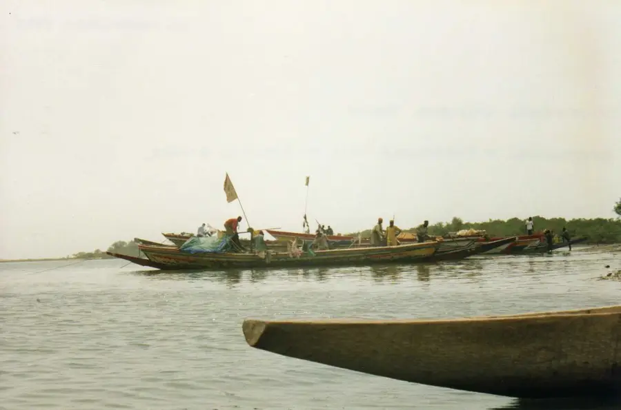
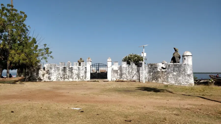
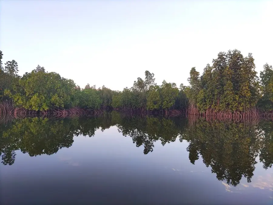
The Casamance hills are located in the southern region of Senegal, tucked away between Gambia to the north and Guinea-Bissau to the south. Geographically, this region contrasts sharply with the arid northern plains, featuring rolling hills, lush tropical forests, and extensive river networks. The topography influences the local microclimate, resulting in higher rainfall levels that sustain intensive agriculture, particularly rice paddies, mango groves, and citrus plantations. Historically, the area was a key center of resistance against colonial rule, with its hills providing tactical advantages and maintaining a degree of autonomy. The region is culturally defined by the Diola people, whose unique earthen architecture and social systems are deeply integrated with the hilly landscape. Expansive mangrove systems thrive in the valleys between the elevations, supporting a high degree of biodiversity. Despite political tensions in recent decades, the region remains the agricultural backbone of Senegal. Preserving the primary forests on the hilltops is crucial for the hydrological health of the entire southern territory.
- Location: Senegal
- Nearby: Cap Skirring (43 km)
Best time to visit & climate
The most pleasant time to visit is Jan, Feb, Dec.
| Jan | Feb | Mar | Apr | May | Jun | Jul | Aug | Sep | Oct | Nov | Dec | |
|---|---|---|---|---|---|---|---|---|---|---|---|---|
| Avg °C | 24 | 26 | 28 | 29 | 29 | 29 | 27 | 26 | 26 | 27 | 26 | 23 |
| Rain mm | 1 | 0 | 15 | 2 | 9 | 108 | 312 | 438 | 315 | 133 | 8 | 0 |
📋 Practical info
Geography
Facts
- The highest points rarely exceed 50 meters above sea level.
- Primary region for rice production in Senegal.
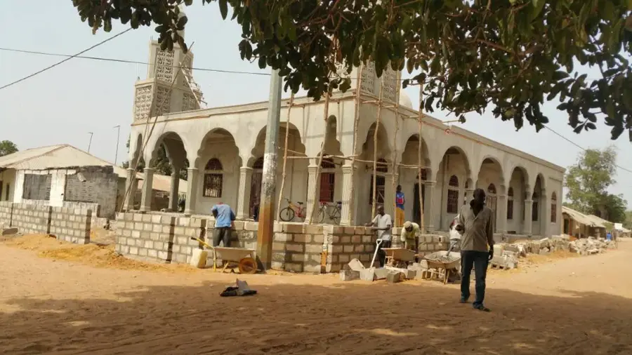
- Heartland of the Diola people, known for their fortified mud architecture.
- Annual rainfall frequently exceeds 1,500 mm in this region.
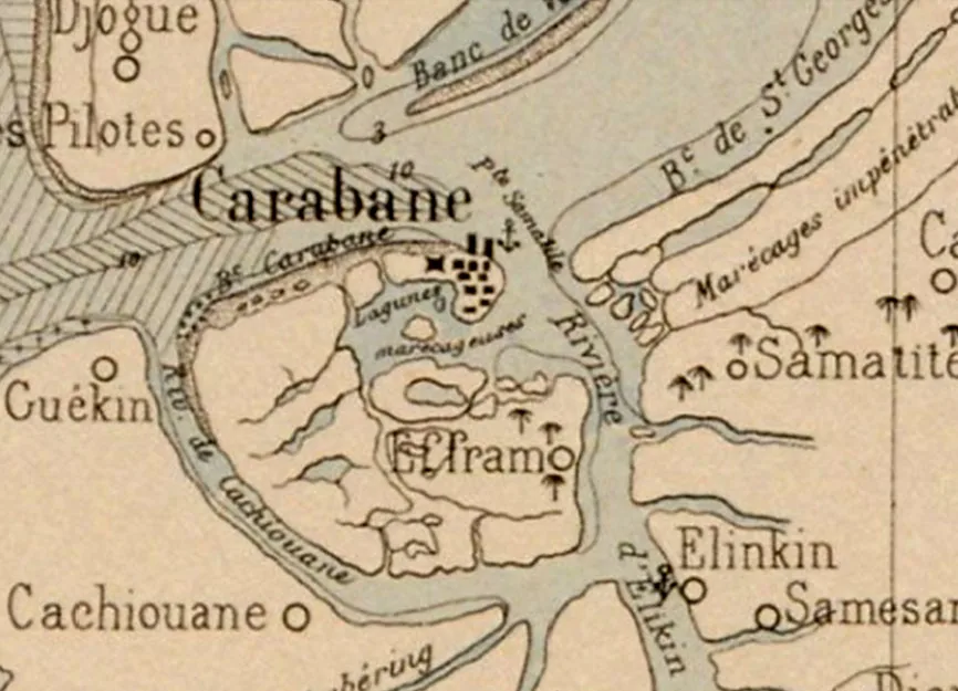
- The Casamance River is the vital waterway serving the hills.
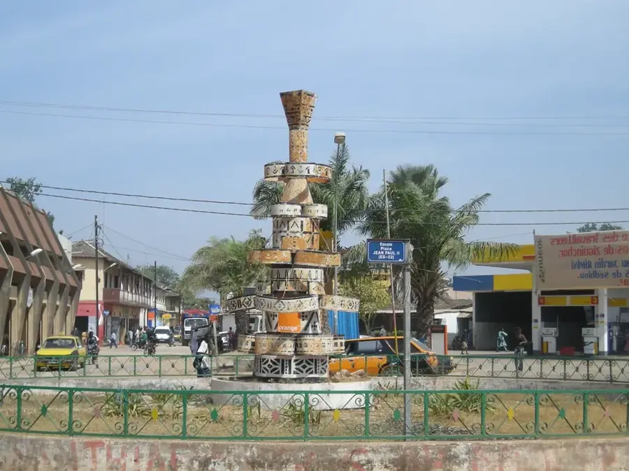
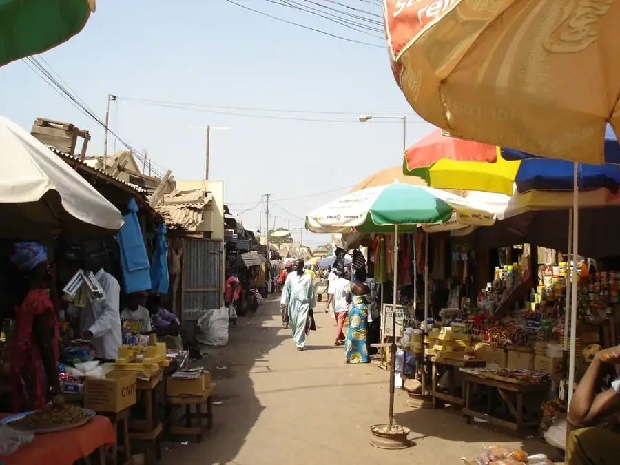
- Ziguinchor serves as the major nearby economic and administrative hub.
Explore nearby
Notable places around
Route planner — Car & Motorhome
Where do you start? We build the route here, with stops and country notes along the way.
© OpenStreetMap contributors · OpenRouteService
Sights in the town Casamance hills (1)
Sights nearby
Frequently asked questions
What is special about the Casamance hills?
Is there local food to taste?
Is the region family-friendly?
What weather can I expect?
How much time should I plan?
Casamance hills: where is it located?
Casamance hills: when is the best time to visit?
Casamance hills: why is it worth visiting?

Nearby cities
History & landmarks

Nature
More places