Plizio Visual Lab
Varela
ℹ️Practical info — Varela
▾
🌤 Weather — 5 days
📍 Nearby
Sights nearby
💡 Tips
- Access can be difficult due to poor road conditions, a 4x4 vehicle is recommended.
- Bring sufficient cash, as ATMs are practically non-existent.
- Enjoy the pristine beaches, but be aware of tides.
- Respect local customs and ask before taking photos.
🍽 Food
Grilled fish at local beachfront shacks.
Try the local cashew wine available during the season.
Local fishermen sell their catch, often prepared in nearby guesthouses.
🛍 Shopping · 🧘 Quiet spots
Small stalls near the village center selling handmade items.
Buy mangoes and bananas from local vendors.
Walk along the quiet, long stretch of white sand.
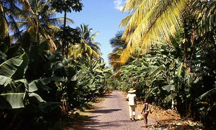
Take a shaded walk in the pine forests lining the coast.
Water temperature…
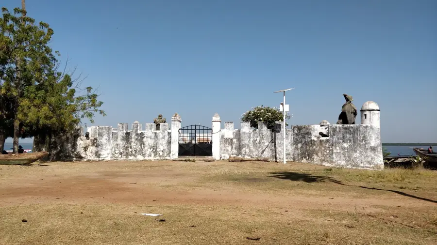
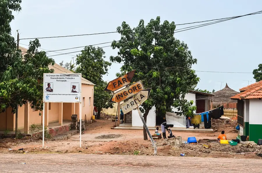
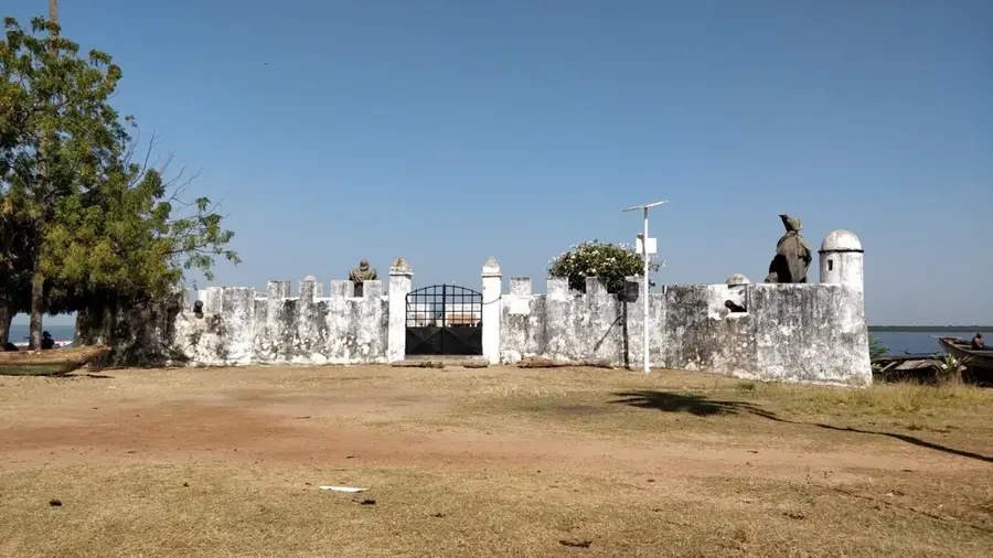
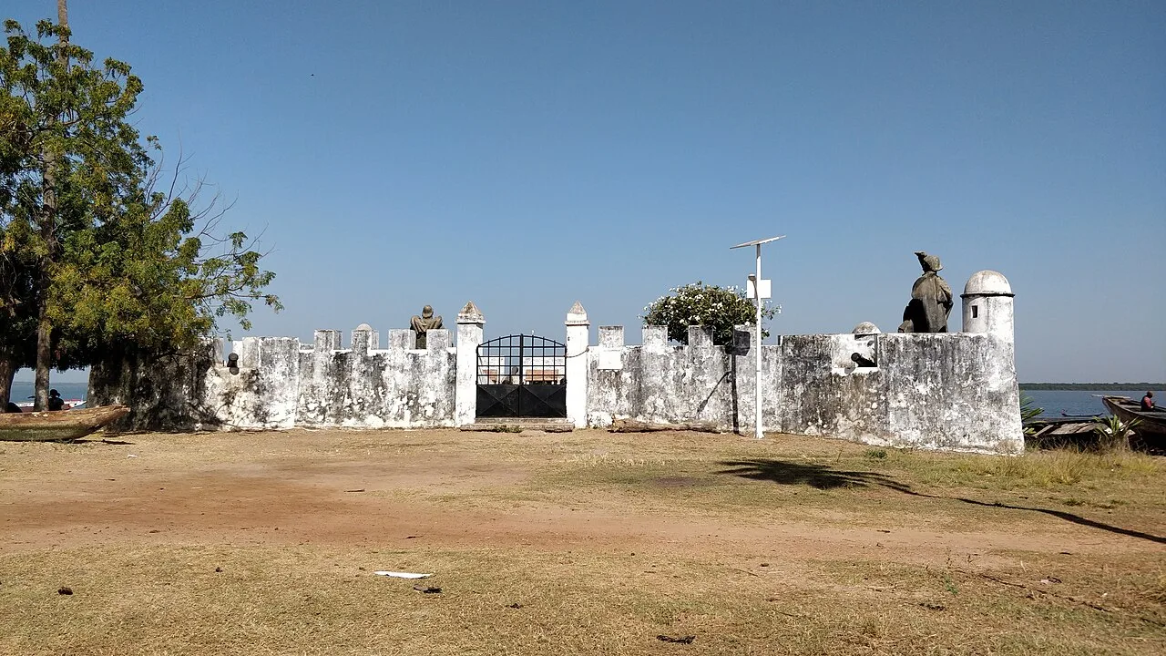
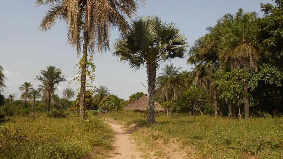
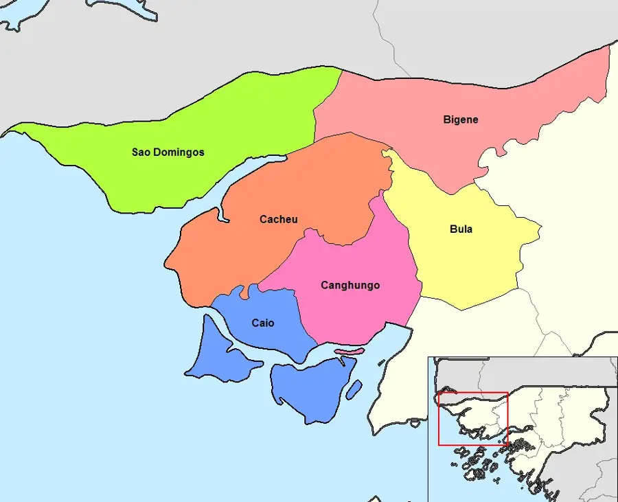
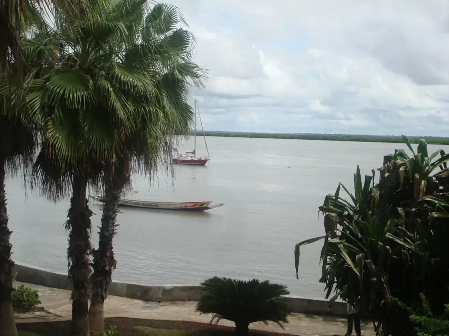
Varela is a remote coastal settlement in the far northwest of Guinea-Bissau, situated directly on the border with the Senegalese region of Casamance. The town is renowned for its exceptional geography, which stands in stark contrast to the rest of the country's coastline; instead of the typical mangroves, it features expansive white sandy beaches and massive coastal dunes. Varela serves as a vital hub for local fishing and, due to its pristine natural environment, is a primary destination for emerging ecotourism. The town's architecture is modest, primarily consisting of traditional dwellings interspersed with older colonial structures that date back to when Varela was a favored retreat for Portuguese officials. The economic landscape is shaped by its isolated position and the challenging road access to São Domingos, which restricts the regular flow of goods. Nevertheless, Varela maintains a unique cultural identity, influenced by constant interaction with neighboring communities in Senegal. The surrounding forests are home to rare primate species, making Varela a significant ecological hotspot in the north of the country.
- Location: Guinea-Bissau
- Nearby: São Domingos (44 km)
Best time to visit & climate
The most pleasant time to visit is Jan, Feb, Dec.
| Jan | Feb | Mar | Apr | May | Jun | Jul | Aug | Sep | Oct | Nov | Dec | |
|---|---|---|---|---|---|---|---|---|---|---|---|---|
| Avg °C | 24 | 26 | 28 | 29 | 29 | 29 | 27 | 26 | 26 | 27 | 26 | 23 |
| Rain mm | 1 | 0 | 15 | 2 | 9 | 108 | 312 | 438 | 315 | 133 | 8 | 0 |
Geography
Facts
- Varela features the whitest sandy beaches on the Bissau-Guinean mainland.
- The settlement was a well-known recreational hub during the colonial era.
- Access via the road to Varela is often severed during the peak rainy season.
- The local economy relies heavily on artisanal fishing and cashew production.
- The nearby forests host the rare Western Red Colobus monkey.
- The waters off Varela are considered a prime destination for sport fishing.
Explore nearby
Notable places around
Route planner — Car & Motorhome
Where do you start? We build the route here, with stops and country notes along the way.
© OpenStreetMap contributors · OpenRouteService
Frequently asked questions
Why is Varela considered the most beautiful beach in Guinea?
What is the condition of the road to Varela?
Are there hotels directly on the beach in Varela?
Can you see turtles in Varela?
Are there restaurants in Varela?
Varela: where is it located?
Varela: when is the best time to visit?
Varela: why is it worth visiting?

Nearby cities

History & landmarks
Nature

More places