Plizio Visual Lab
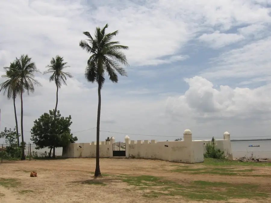
Cacheu River Bridge
Weather…
Water temperature…
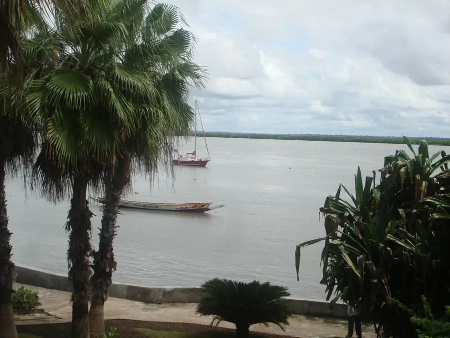
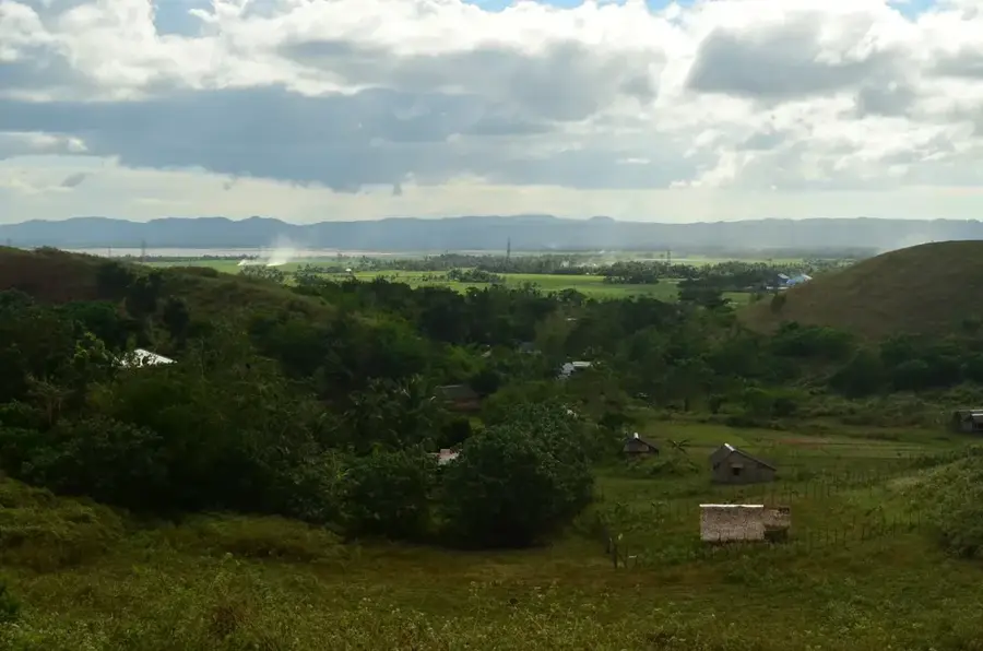
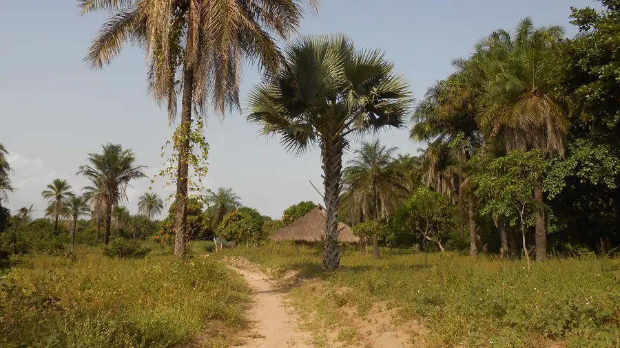
The bridge over the Cacheu River is a central component of the transport infrastructure in northern Guinea-Bissau. As one of the country's longest bridges, it connects the historic city of Cacheu with northern regions, providing a vital overland link. Before its construction, crossing the wide river was difficult and time-consuming, which hindered the region's economic development. The bridge's architecture is a modern concrete structure designed to safely span the significant water masses and tidal currents of the Cacheu River. The bridge features travelers not only quick passage but also an impressive view of the extensive mangrove forests lining the river. These mangroves are part of a protected ecosystem, and the bridge provides a unique vantage point to observe the region's rich biodiversity. As a symbol of modernization and regional cohesion, the structure facilitates the exchange of goods and services between the north and the rest of the country. Despite high humidity and corrosive sea air, the bridge remains a robust testament to Guinea-Bissau's infrastructure development in the post-colonial era.
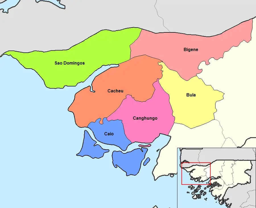
- Location: Guinea-Bissau
- Nearby: Cacheu (16 km)
Best time to visit & climate
The most pleasant time to visit is Jan, Feb, Dec.
| Jan | Feb | Mar | Apr | May | Jun | Jul | Aug | Sep | Oct | Nov | Dec | |
|---|---|---|---|---|---|---|---|---|---|---|---|---|
| Avg °C | 24 | 26 | 28 | 29 | 29 | 29 | 27 | 26 | 26 | 27 | 26 | 23 |
| Rain mm | 1 | 0 | 15 | 2 | 9 | 108 | 312 | 438 | 315 | 133 | 8 | 0 |
📋 Practical info
Geography
Facts
- The bridge is a key part of the international highway linking Bissau and Ziguinchor.
- It spans the Cacheu River, which is a major waterway in the north.
- Its completion significantly boosted the local economy in the Cacheu district.
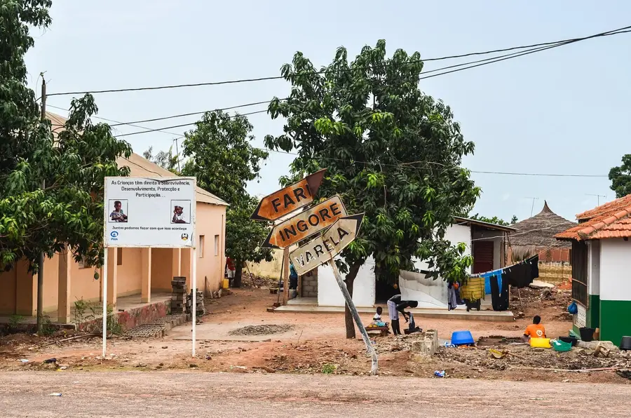
- The bridge is a prominent landmark for travelers heading to Varela.
- It offers one of the best views of the pristine West African mangrove forests.
- The structure was designed to withstand extreme tropical weather and tides.
Explore nearby
Notable places around
Route planner — Car & Motorhome
Where do you start? We build the route here, with stops and country notes along the way.
© OpenStreetMap contributors · OpenRouteService
Sights nearby
Frequently asked questions
Where does this bridge lead to?
Is it allowed to stop on the bridge?
What is the condition of the bridge?
Is there a toll?
What can you see from the river?
Cacheu River Bridge: where is it located?
Cacheu River Bridge: when is the best time to visit?
Cacheu River Bridge: why is it worth visiting?

Nearby cities

History & landmarks
Nature

More places