Plizio Visual Lab
Casamance River
Weather…
Water temperature…
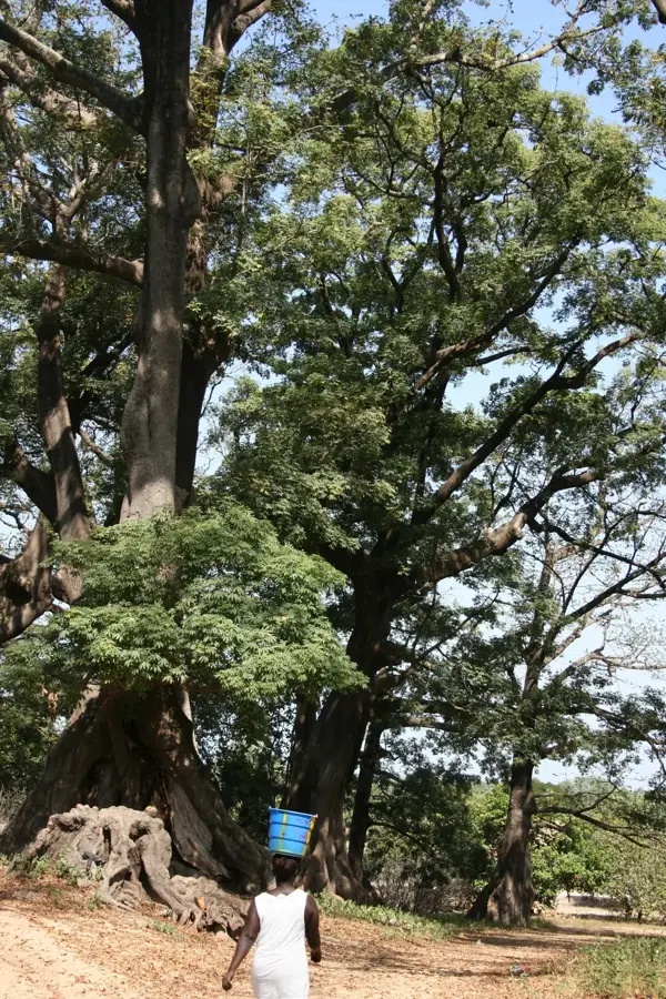
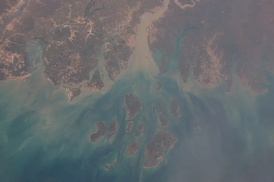
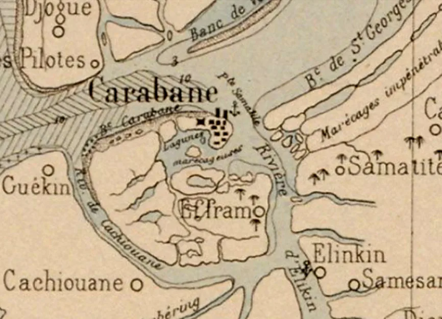
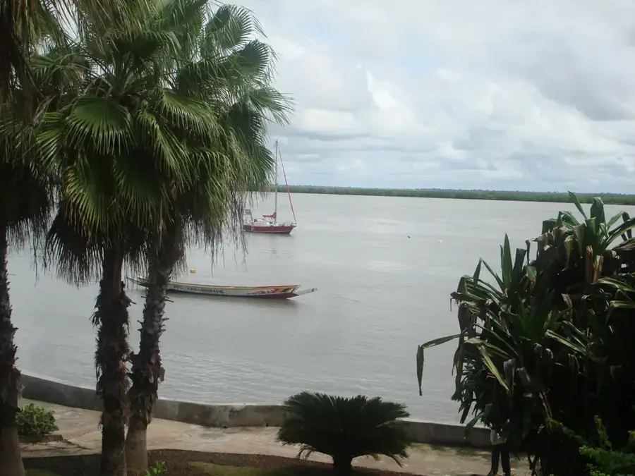
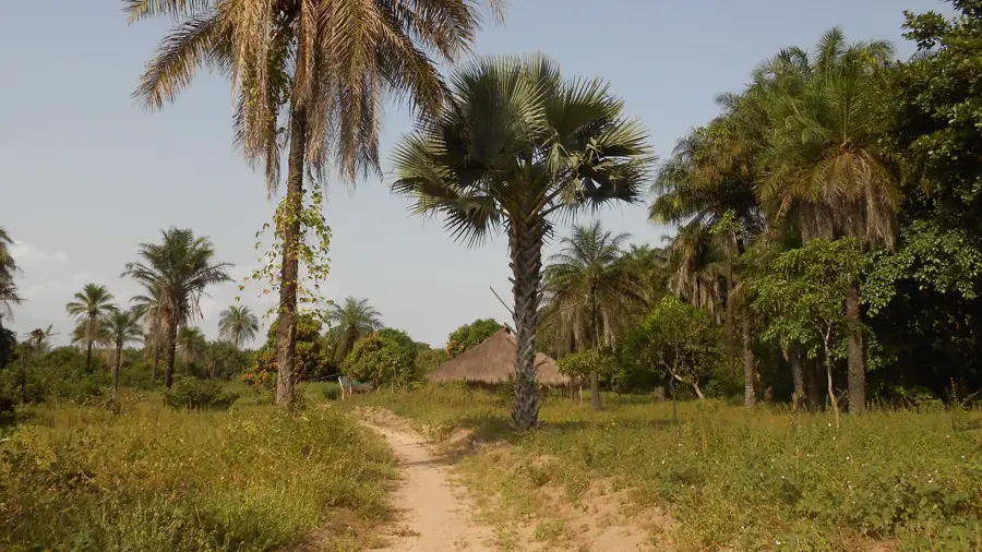
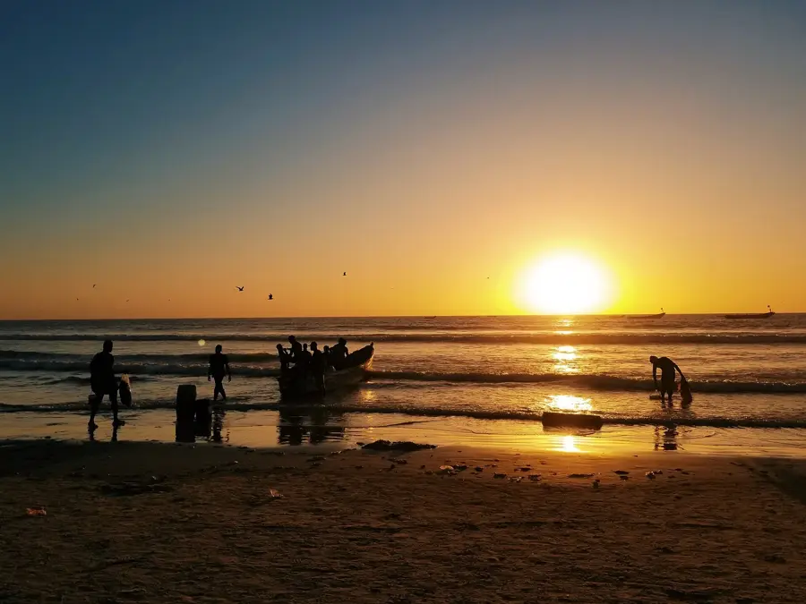
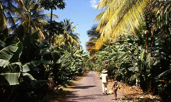
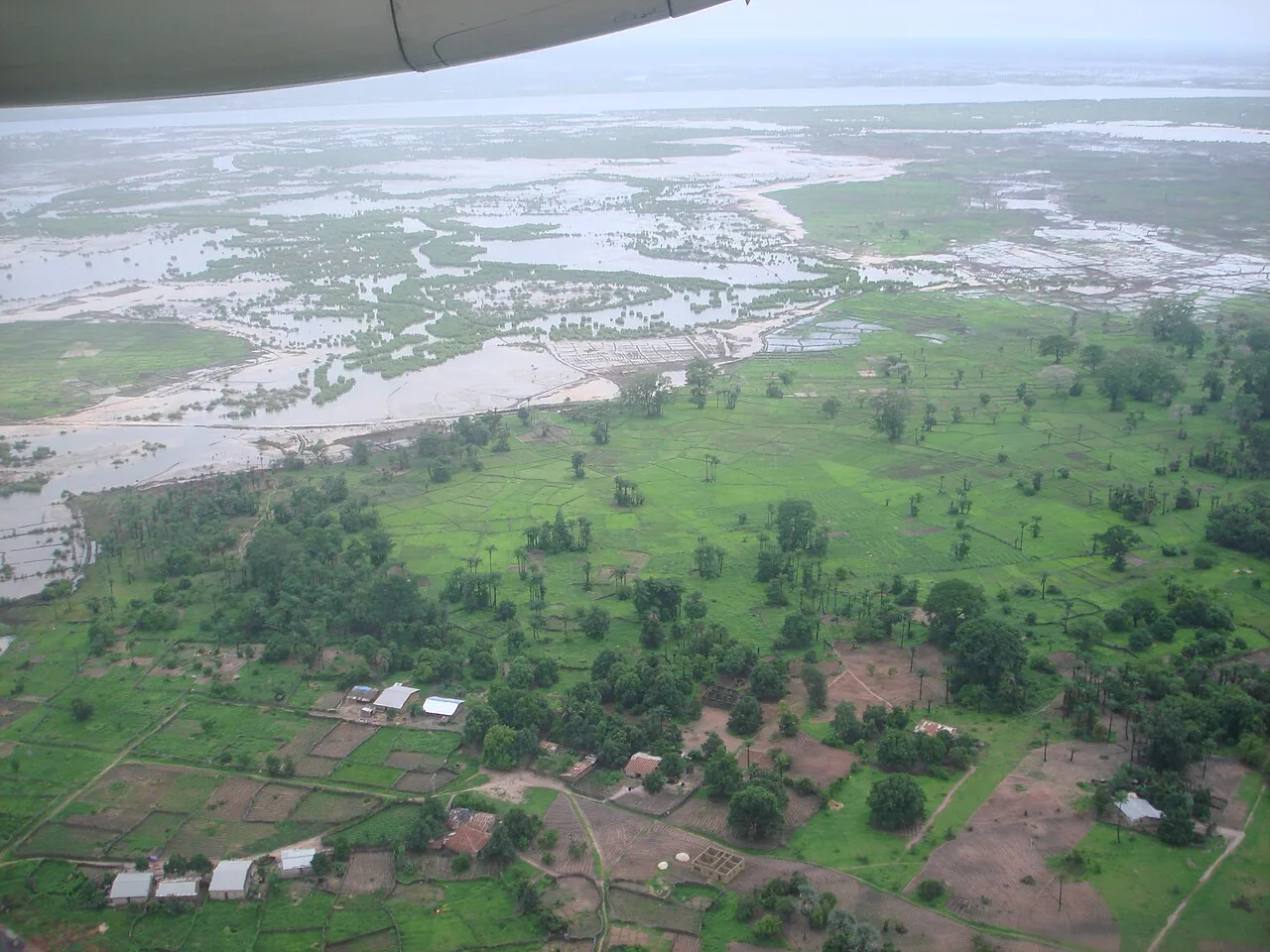
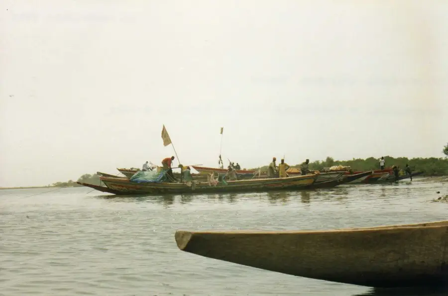
The Casamance River is the vital artery of southern Senegal and gives its name to the entire region. It originates in the southeastern part of the country and flows westward for approximately 320 kilometers before emptying into the Atlantic Ocean. A distinctive feature of the river is its extremely low gradient, which allows seawater to penetrate up to 200 kilometers inland during high tide. This high salinity has fostered the development of extensive mangrove swamps that provide a unique ecosystem for numerous fish species and birds. The fertile riverbanks are heavily used for rice cultivation, which forms the dietary staple for the local Diola people. The city of Ziguinchor on the south bank serves as the economic hub and a major river port for transporting goods. The river is also a crucial transport route for residents of the many islands within the delta, who often rely on traditional pirogues to reach their homes.
- Location: Senegal
- Nearby: Cap Skirring (29 km)
Best time to visit & climate
The most pleasant time to visit is Jan, Feb, Dec.
| Jan | Feb | Mar | Apr | May | Jun | Jul | Aug | Sep | Oct | Nov | Dec | |
|---|---|---|---|---|---|---|---|---|---|---|---|---|
| Avg °C | 24 | 26 | 28 | 29 | 29 | 29 | 27 | 26 | 26 | 27 | 26 | 23 |
| Rain mm | 1 | 0 | 15 | 2 | 9 | 108 | 312 | 438 | 315 | 133 | 8 | 0 |
📋 Practical info
Geography
Facts
- The river has a total length of approximately 320 kilometers.
- Seawater can penetrate up to 200 km inland during high tide.
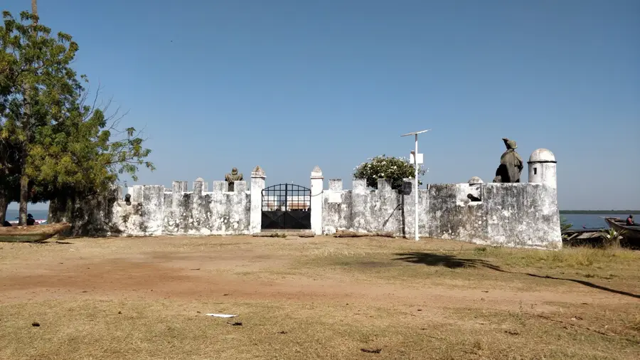
- Ziguinchor is the most significant port city located on its banks.
- The river forms a complex delta system at its mouth.
- The riverbank regions host Senegal's largest rice fields.
- Mangrove forests cover thousands of hectares along the river.
Explore nearby
Notable places around
Route planner — Car & Motorhome
Where do you start? We build the route here, with stops and country notes along the way.
© OpenStreetMap contributors · OpenRouteService
Sights in the town Casamance River (1)
Sights nearby
Frequently asked questions
Can one fish here?
How is the weather?
What birds can be seen?
Are there boat tours?
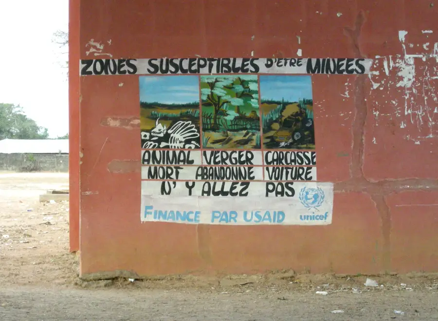
Is it safe?
Casamance River: where is it located?
Casamance River: when is the best time to visit?
Casamance River: why is it worth visiting?

Nearby cities
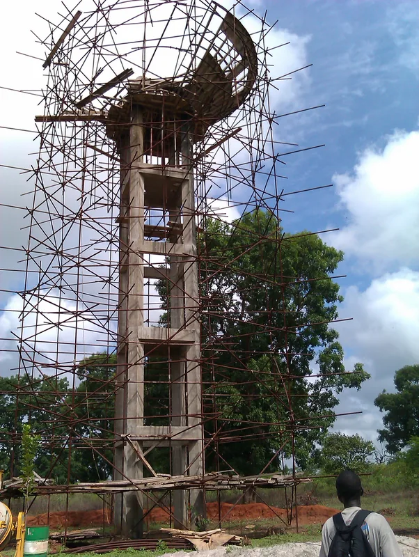
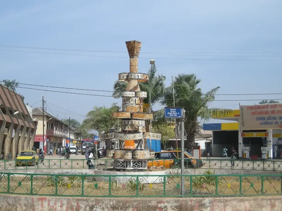
History & landmarks

Nature
More places