Plizio Visual Lab
Gambia river lowlands
Weather…
Water temperature…
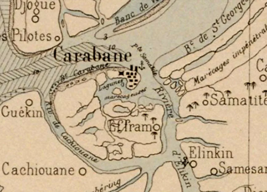
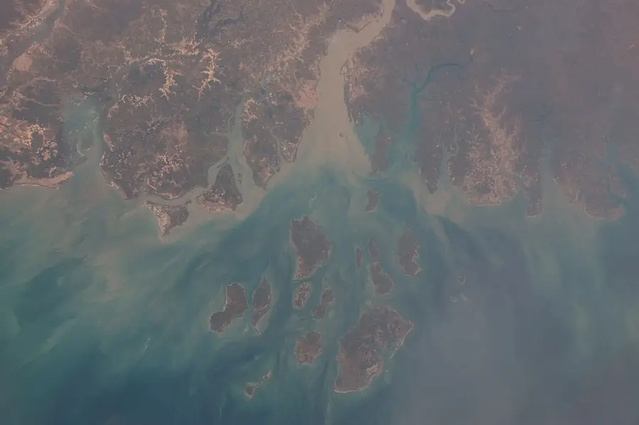
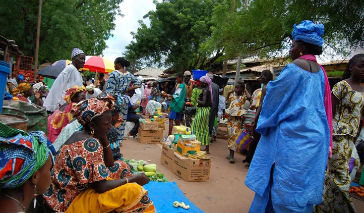
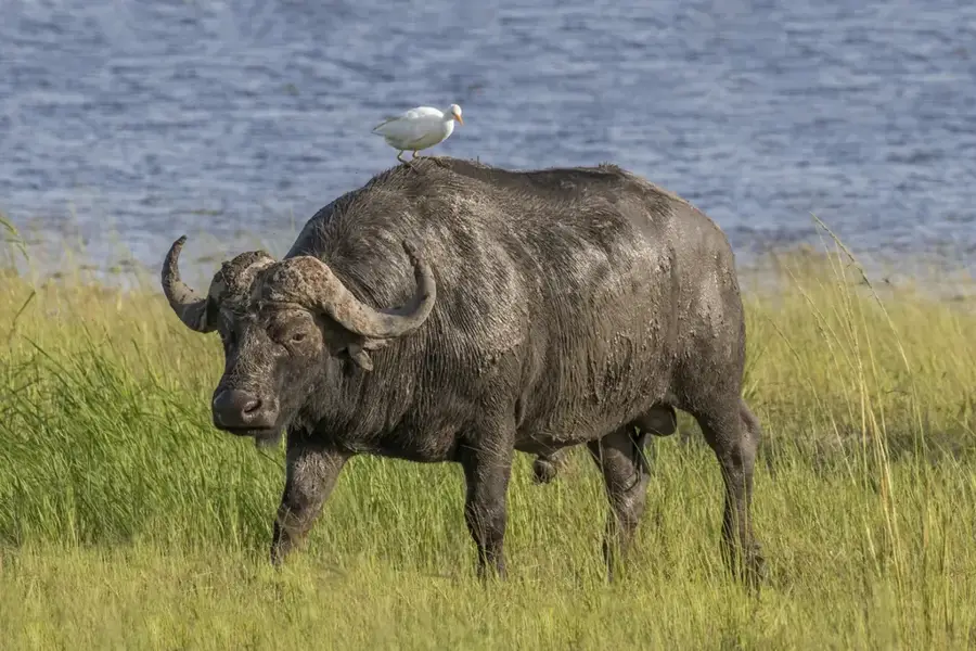
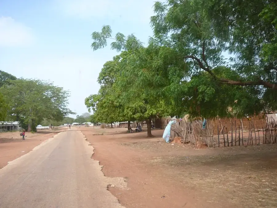
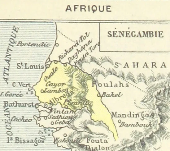
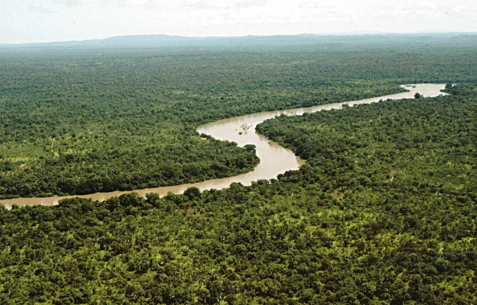
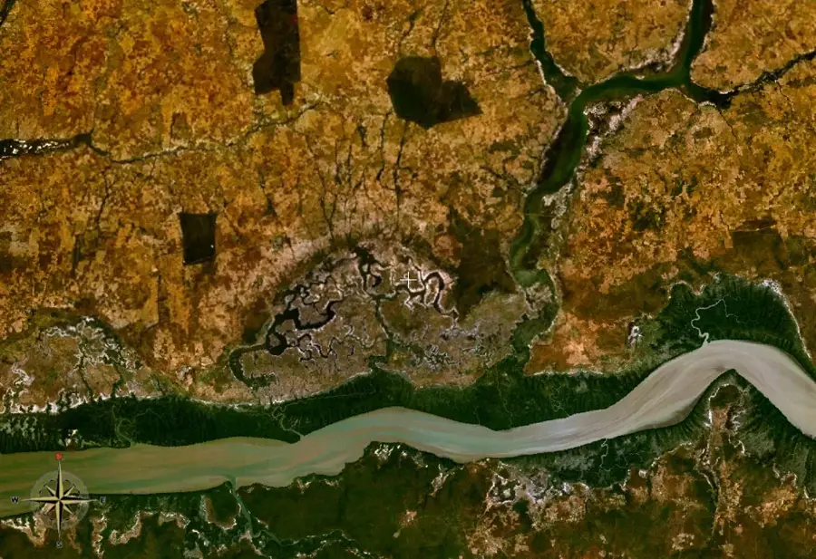
The Gambia river lowlands in southern Senegal surround the enclave of the nation of The Gambia and form a hydrographically defined region. The relief is extremely flat and dominated by the extensive floodplains of the Gambia River, which meanders here and forms numerous side channels. The soils are very fertile due to regular seasonal flooding and consist predominantly of alluvial loams. This geographical location makes the lowlands a well-suited area for rice cultivation, often performed through traditional manual labor. The vegetation is characterized by gallery forests and extensive wetlands, which host a rich variety of wildlife, particularly birds and reptiles. Historically, this region was an important trade route for exchange between the interior and the Atlantic, leading to the emergence of significant market towns. The lowlands play a central role in the food security of southern Senegal and provide livelihoods for many local communities through their natural resources. During the rainy season, the area often transforms into a vast lakeland, which complicates transportation but secures agricultural productivity.
Best time to visit & climate
The most pleasant time to visit is Jan, Feb, Dec.
| Jan | Feb | Mar | Apr | May | Jun | Jul | Aug | Sep | Oct | Nov | Dec | |
|---|---|---|---|---|---|---|---|---|---|---|---|---|
| Avg °C | 23 | 26 | 28 | 30 | 31 | 29 | 27 | 26 | 27 | 27 | 26 | 24 |
| Rain mm | 1 | 0 | 0 | 0 | 12 | 121 | 263 | 369 | 267 | 90 | 5 | 0 |
📋 Practical info
Geography
Facts
- The lowlands mostly lie less than 10 meters above sea level.
- The Gambia River has a total length of 1,120 km and flows through this plain.
- The region records rainfall of approximately 900 to 1,200 mm per year.
- The soils are rich in organic matter due to river deposits.
- Hippos and crocodiles are widespread in the waters of the lowlands.
- During the colonial era, the river was an important transport route for peanut exports.
Explore nearby
Notable places around
Route planner — Car & Motorhome
Where do you start? We build the route here, with stops and country notes along the way.
© OpenStreetMap contributors · OpenRouteService
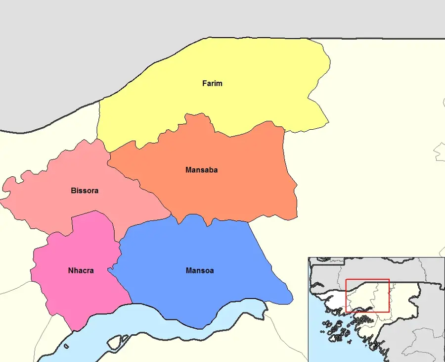
Sights in the town Gambia river lowlands (1)
Sights nearby
Frequently asked questions
Can one visit the Gambia river lowlands?
What animals can one see there?
Is the region safe for children?
What is the best time for animal watching?
Is malaria prophylaxis necessary?
Gambia river lowlands: where is it located?
Gambia river lowlands: when is the best time to visit?
Gambia river lowlands: why is it worth visiting?

Nearby cities


History & landmarks
Nature
More places