Plizio Visual Lab
Sibanor

ℹ️Practical info — Sibanor
▾
🌤 Weather — 5 days
📍 Nearby
Sights nearby
💡 Tips
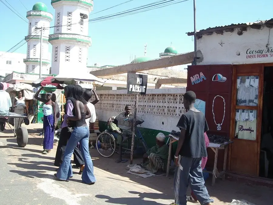
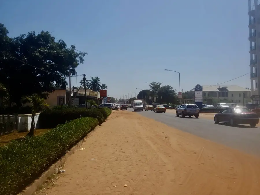
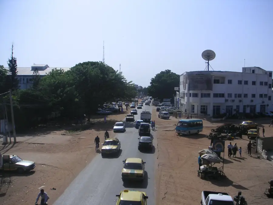
- Sibanor is a prominent stop along the South Bank Road; watch out for heavy truck traffic passing through the main street.
- The town has a well-known medical clinic, which makes it a focal point for people from surrounding rural villages.
- Public transport bush taxis (gele-geles) frequently stop here, making it an easy place to catch a ride east or west.
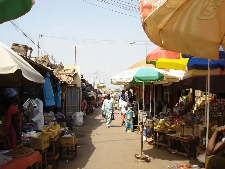
- Market days bring an influx of farmers selling groundnuts and local produce; it is the best time to experience local commerce.
🍽 Food
A popular peanut porridge breakfast dish sold by women near the transport stops.
Grilled meat vendors set up along the main road as the evening cools down.
A rich groundnut stew found in local "bitiks" (small eateries) serving transit passengers.
🛍 Shopping · 🧘 Quiet spots
Buy seasonal local fruits like mangoes or cashew apples directly from the farmers.
Great for picking up roasted peanuts or bottled drinks during a transit stop.
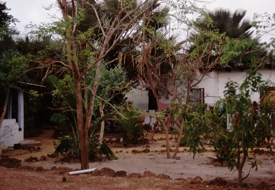
Walk a few streets away from the main highway to find peaceful, sandy residential compounds.
The agricultural fields around the village offer quiet walking paths during the dry season.
Water temperature…
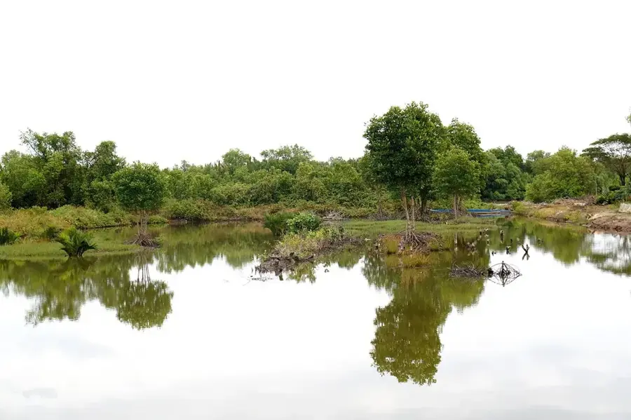
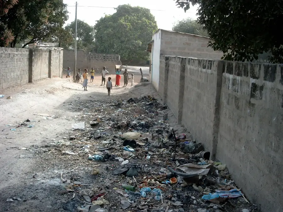
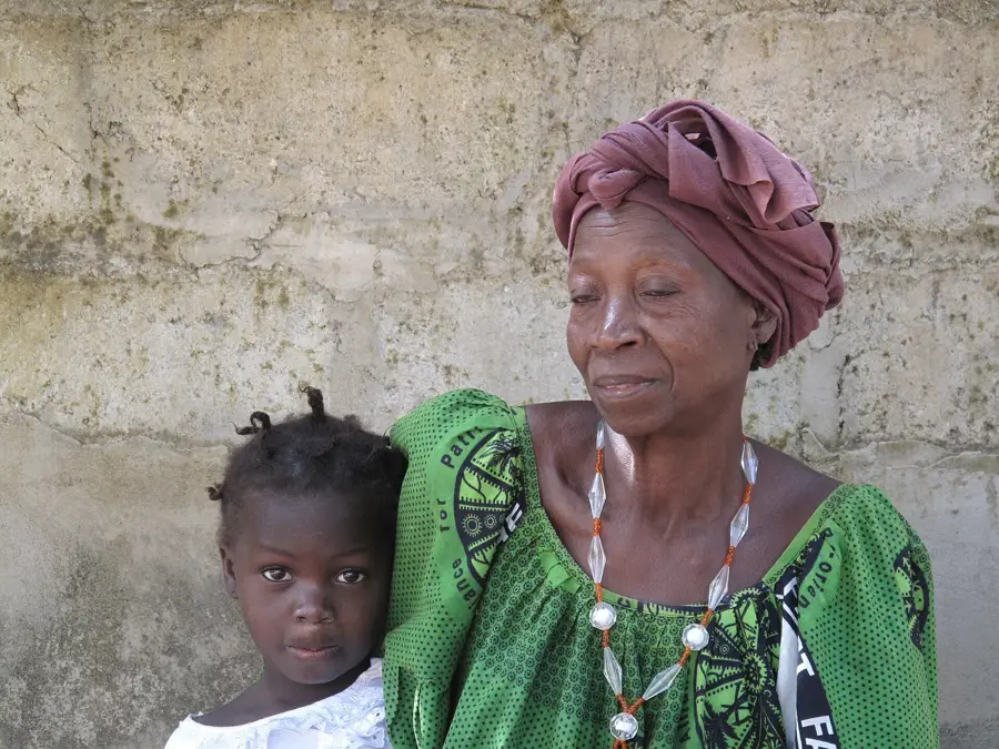
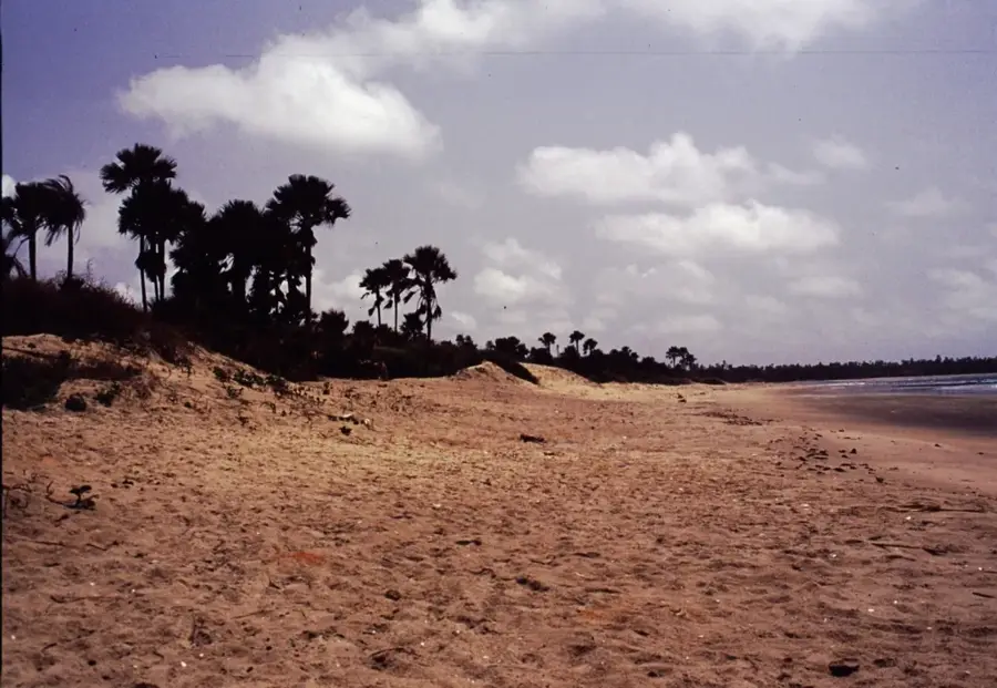
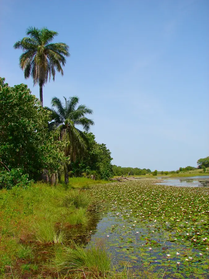
Sibanor is a prominent town located in the Foni Bintang Karanai district within the West Coast Region. Straddling the vital South Bank Road, it serves as a critical junction for rural transport and local agricultural commerce. The town is highly regarded locally as an educational hub, hosting key schools that serve the surrounding agricultural villages. Historically rooted in Jola traditions, Sibanor maintains strong community ties through annual cultural festivals and communal farming practices. Its proximity to the dense forests and tributaries of the Foni region makes it an essential center for sustainable timber harvesting and rural healthcare clinics.
- Location: Gambia
- Nearby: Bwiam (6 km)
Best time to visit & climate
The most pleasant time to visit is Jan, Feb, Dec.
| Jan | Feb | Mar | Apr | May | Jun | Jul | Aug | Sep | Oct | Nov | Dec | |
|---|---|---|---|---|---|---|---|---|---|---|---|---|
| Avg °C | 23 | 26 | 28 | 29 | 30 | 29 | 27 | 26 | 26 | 27 | 26 | 23 |
| Rain mm | 1 | 0 | 15 | 2 | 7 | 98 | 247 | 368 | 266 | 89 | 5 | 0 |
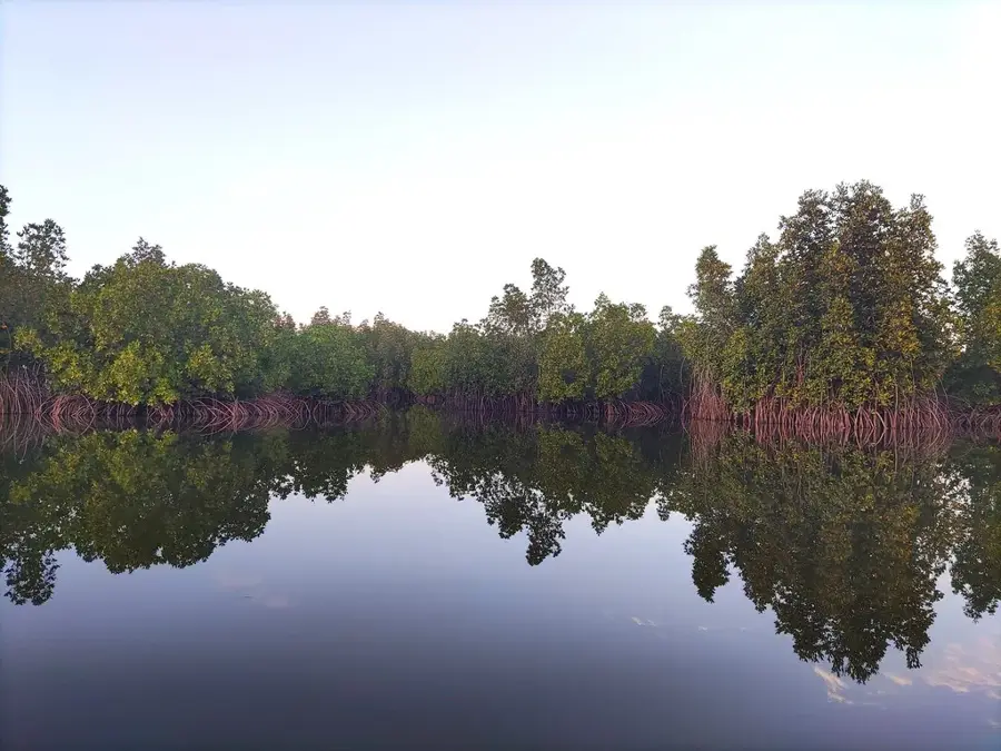
Geography
Facts
- Located in the Foni Bintang Karanai district on the South Bank Road.
- Serves as an important educational and healthcare hub for rural villages.
- Culturally significant as a traditional center for the Jola ethnic group.
- Acts as a major collection point for agricultural produce in the region.
- Maintains strong traditions of communal farming and harvesting.
- Surrounded by the characteristic dense woodland savanna of the Foni area.
Explore nearby
Notable places around
Route planner — Car & Motorhome
Where do you start? We build the route here, with stops and country notes along the way.
© OpenStreetMap contributors · OpenRouteService
Sights in the town Sibanor (1)
Frequently asked questions
What is the character of Sibanor?
When should you visit Sibanor?
Are there attractions nearby?
What is the atmosphere like for visitors?
How do you reach Sibanor?
Sibanor: where is it located?
Sibanor: when is the best time to visit?
Sibanor: why is it worth visiting?

Nearby cities


History & landmarks
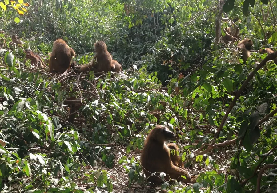
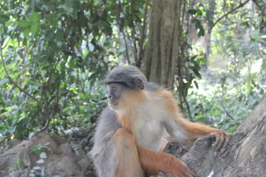
Nature
More places