Plizio Visual Lab
Congo-Nile Divide
Weather…
Water temperature…
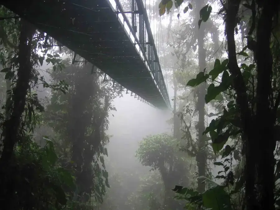
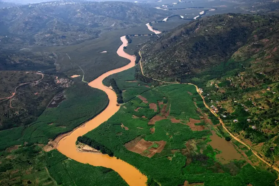
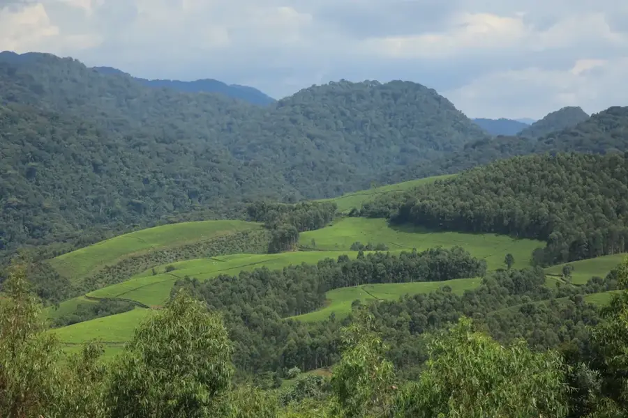
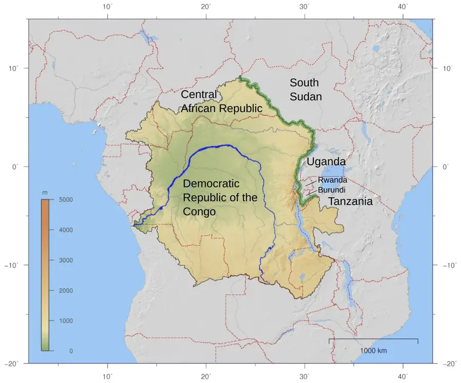
The Congo-Nile Divide is a prominent mountain range that runs north-to-south through Rwanda, serving as the hydrographic boundary between Africa's two largest river basins. To the west, water flows into the Congo River system and eventually into the Atlantic Ocean, while to the east, it drains into the Nile Basin, reaching the Mediterranean Sea. This topographic barrier consists of rugged highlands that reach elevations of up to 3,000 meters. It plays a critical role in Rwanda's climate by intercepting moist air from the Congo Basin, resulting in higher rainfall in the western regions. Major ecological zones, including the Nyungwe National Park, are situated along this divide. Geologically, it is part of the Albertine Rift and was formed by tectonic uplifting during the creation of the East African Rift System. The famous 'Congo Nile Trail' gives hikers a unique opportunity to experience the divide's dramatic scenery, including panoramic views of Lake Kivu and the rolling landscapes of central Rwanda.
- Location: Rwanda
- Nearby: Nyungwe Forest National Park (13 km)
Best time to visit & climate
The most pleasant time to visit is Jun–Aug.
| Jan | Feb | Mar | Apr | May | Jun | Jul | Aug | Sep | Oct | Nov | Dec | |
|---|---|---|---|---|---|---|---|---|---|---|---|---|
| Avg °C | 19 | 20 | 19 | 19 | 18 | 18 | 18 | 19 | 20 | 20 | 19 | 19 |
| Rain mm | 137 | 125 | 178 | 176 | 108 | 50 | 29 | 65 | 107 | 157 | 224 | 152 |
📋 Practical info
Geography
Facts
- Separates the drainage basins of the Nile and Congo rivers.
- Highland peaks along the divide reach altitudes of 3,000 meters.
- The 'Congo Nile Trail' covers 227 km of rugged terrain along the ridge.
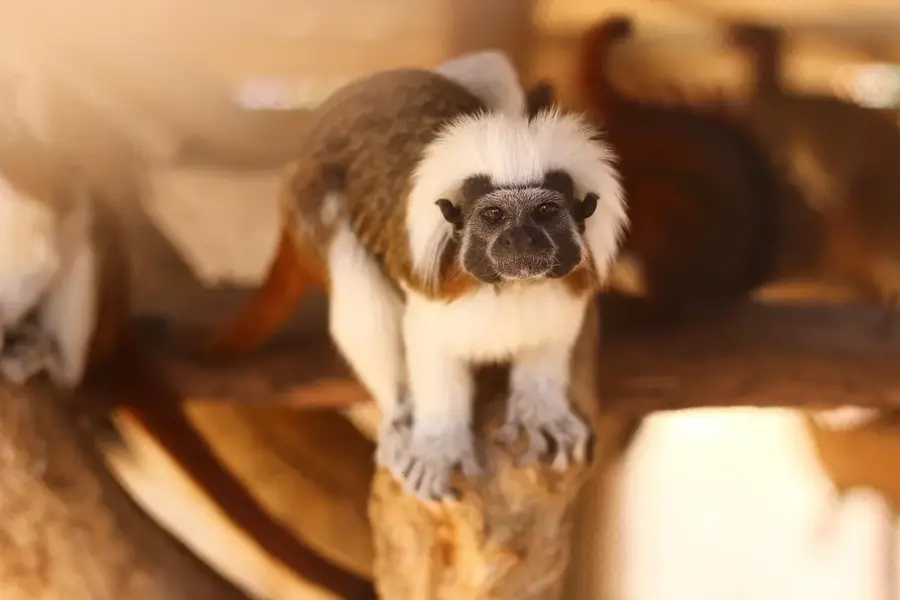
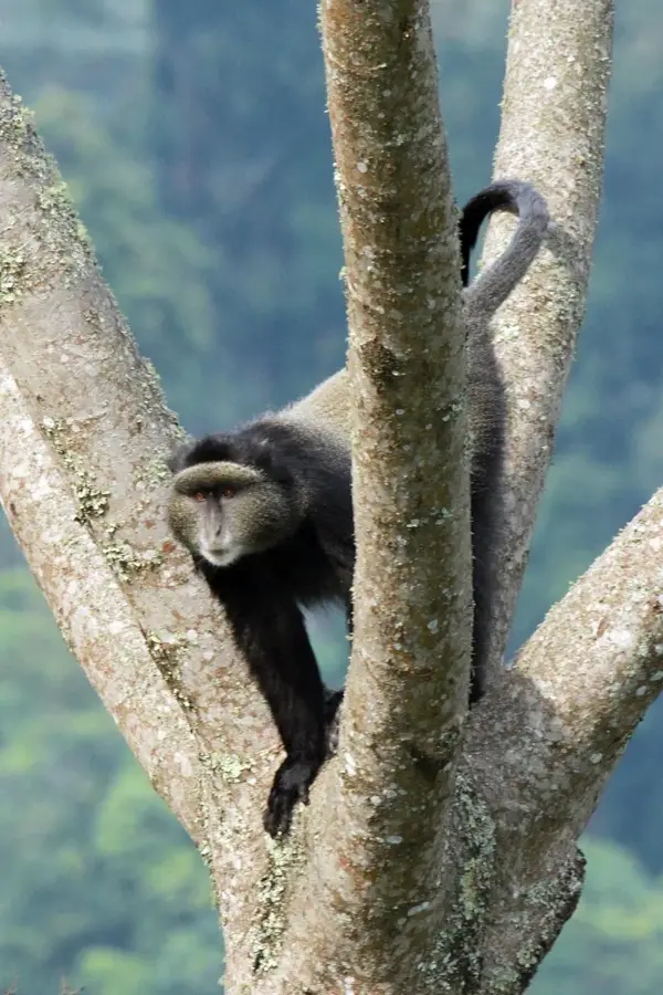
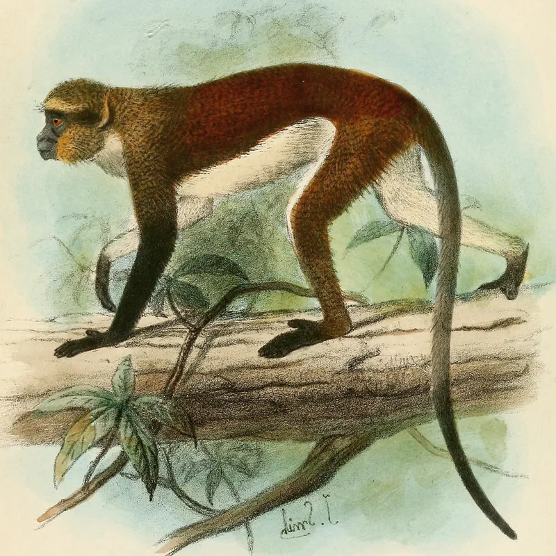
- Home to the Nyungwe Forest, a critical Afro-montane biodiversity hotspot.
- Influences local weather patterns by trapping Atlantic moisture.
- Geologically part of the shoulder of the Albertine Rift Valley.
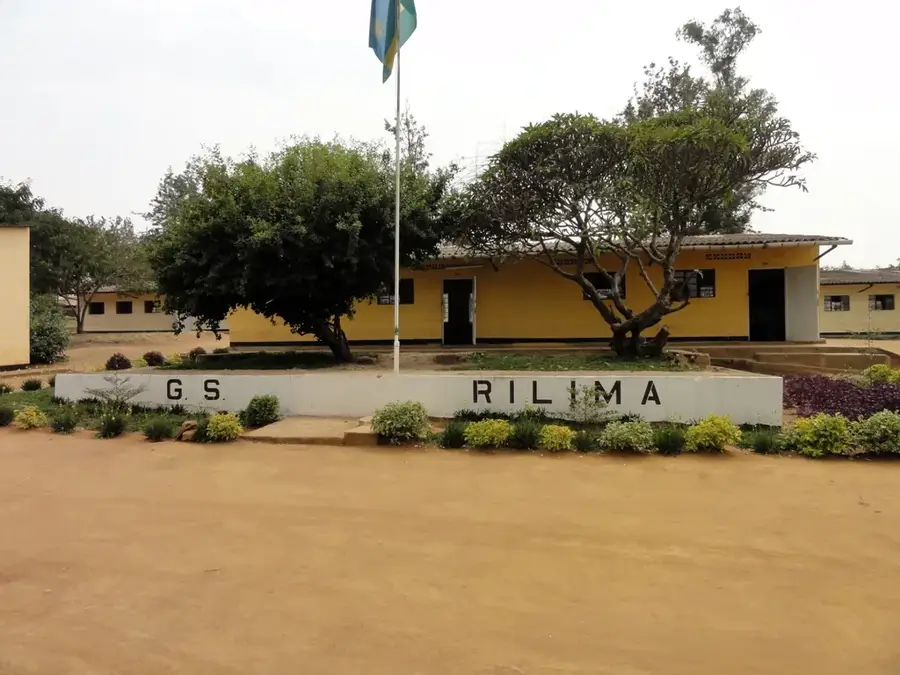
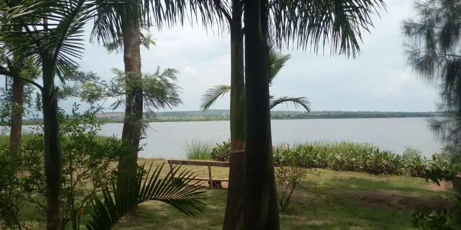
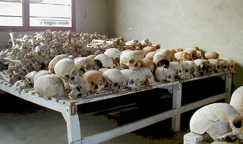
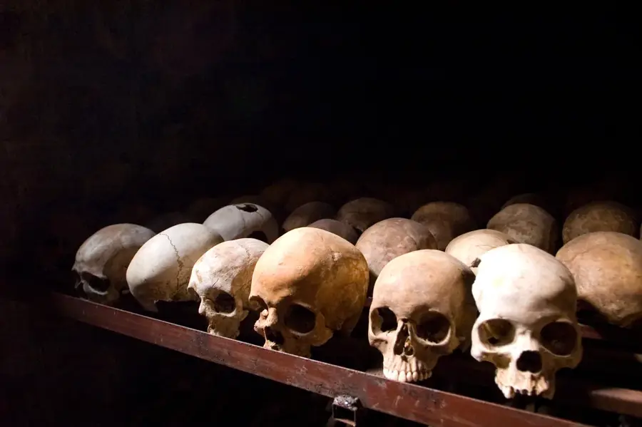
Explore nearby
Notable places around
Route planner — Car & Motorhome
Where do you start? We build the route here, with stops and country notes along the way.
© OpenStreetMap contributors · OpenRouteService
Sights nearby
Frequently asked questions
What is the Congo-Nile Divide?
Can you hike there?
How is the access?
What equipment is important?
Are there overnight stays?
Congo-Nile Divide: where is it located?
Congo-Nile Divide: when is the best time to visit?
Congo-Nile Divide: why is it worth visiting?

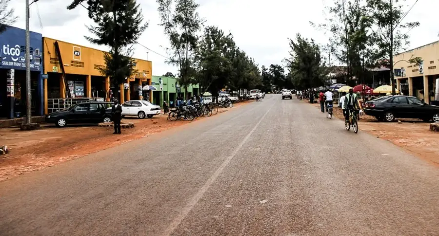
Nearby cities
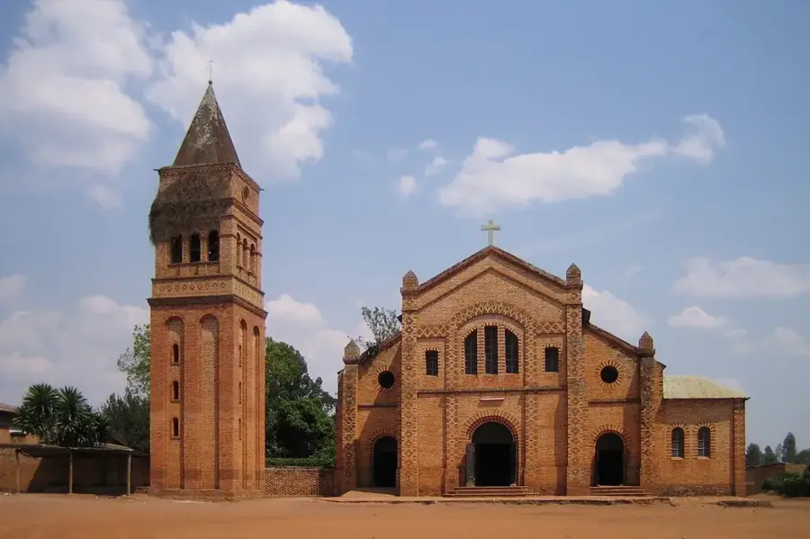
History & landmarks
Nature

More places