Plizio Visual Lab
Misfat al Abriyeen
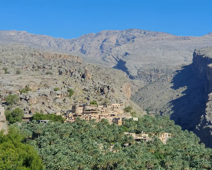
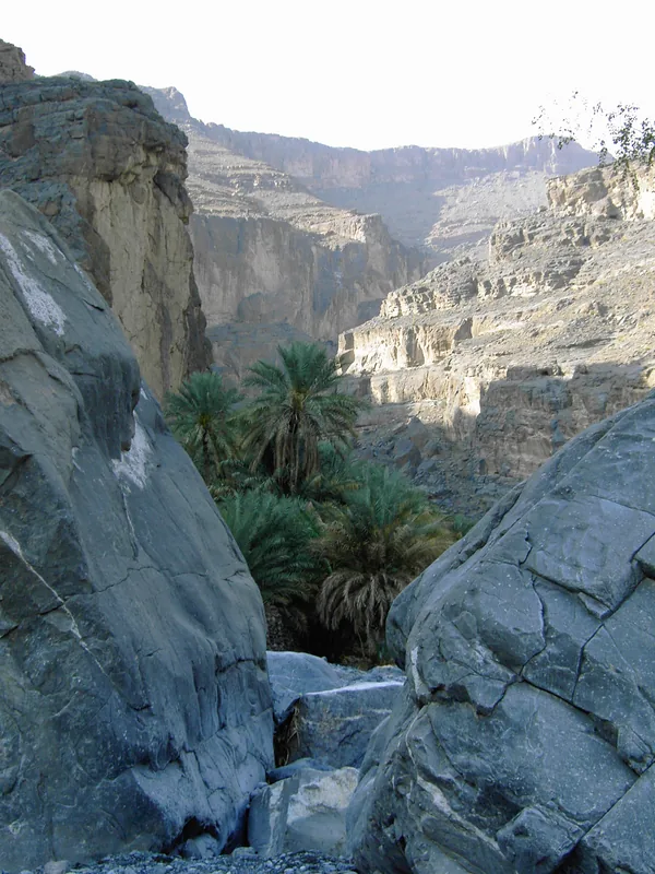
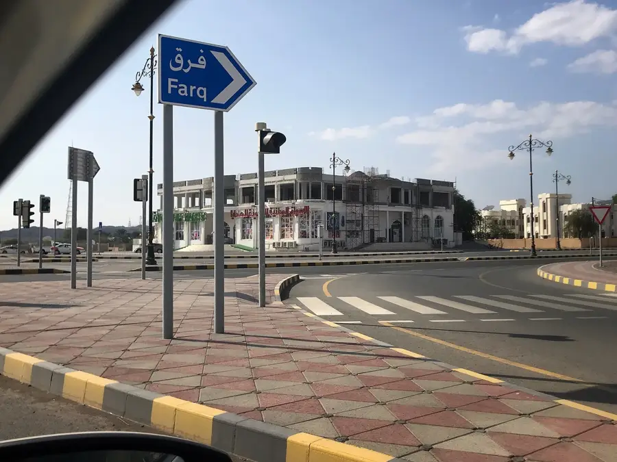
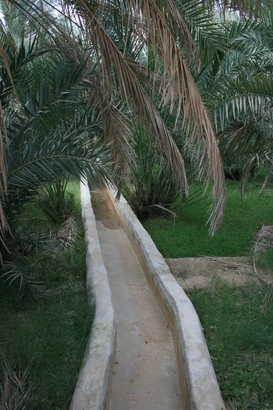
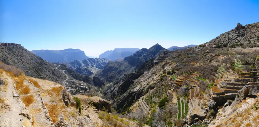
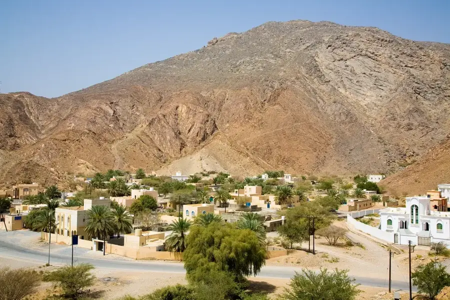
Misfat al Abriyeen is a living museum perched on the edge of a steep canyon in the Jebel Shams foothills. The village is famous for its traditional multi-story mud houses built directly into the rocks. What makes this place truly special is the ancient Falaj irrigation system, which channels mountain water to lush terraced gardens producing bananas, pomegranates, and dates. Visitors can wander through narrow, shaded alleys while following the sound of trickling water in the stone channels. Several small cafes and traditional guesthouses offer a glimpse into the authentic Omani way of life. Hiking trails lead from the village deep into the gardens or up to rocky viewpoints for unparalleled panoramas of the surrounding region. The village is reachable via a winding but well-paved road from Al Hamra. As it is a residential village, visitors are expected to dress and behave respectfully. The cooler temperatures due to its elevation make Misfat a popular retreat, especially between October and April.
- Location: Oman
- Top sights: Viewpoint on Misfat al Abriyeen · Jabaat al Baqt
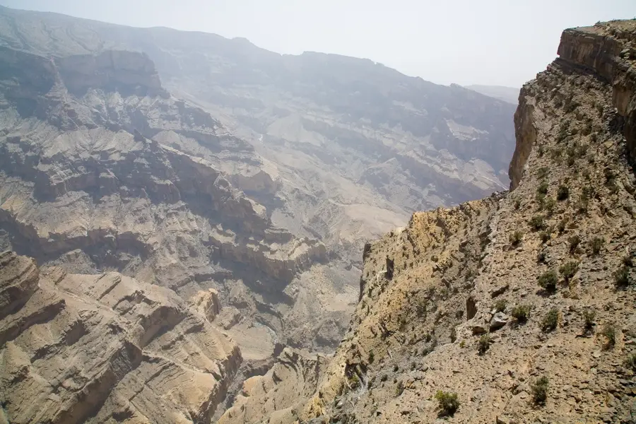
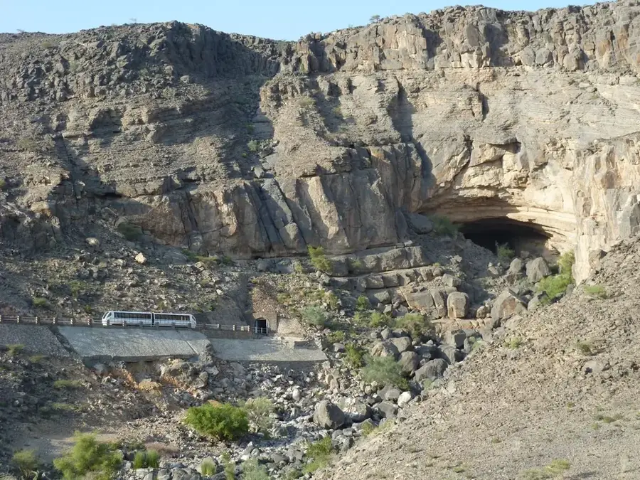
- Nearby: Jebel Shams (8 km)
Best time to visit & climate
The most pleasant time to visit is Feb, Nov, Dec.
| Jan | Feb | Mar | Apr | May | Jun | Jul | Aug | Sep | Oct | Nov | Dec | |
|---|---|---|---|---|---|---|---|---|---|---|---|---|
| Avg °C | 18 | 20 | 24 | 29 | 33 | 35 | 35 | 34 | 32 | 28 | 23 | 19 |
| Rain mm | 12 | 12 | 23 | 16 | 9 | 12 | 16 | 13 | 7 | 7 | 9 | 8 |
📋 Practical info
Geography
Facts
- A living, inhabited mountain village
- Traditional mud-brick architecture
- Ancient Falaj irrigation system
- Lush terraced gardens on slopes
- Cooler climate than the plains
- Popular destination for hikers
- Authentic Omani guesthouses
- At the foothills of Jebel Shams
Explore nearby
Notable places around
Route planner — Car & Motorhome
Where do you start? We build the route here, with stops and country notes along the way.
© OpenStreetMap contributors · OpenRouteService
Sights in the town Misfat al Abriyeen (2)
Sights nearby
Frequently asked questions
Misfat al Abriyeen: where is it located?
Misfat al Abriyeen: what is there to see?
Misfat al Abriyeen: when is the best time to visit?
Misfat al Abriyeen: why is it worth visiting?

Nearby cities

History & landmarks

Nature
More places