Plizio Visual Lab
Schiermonnikoog
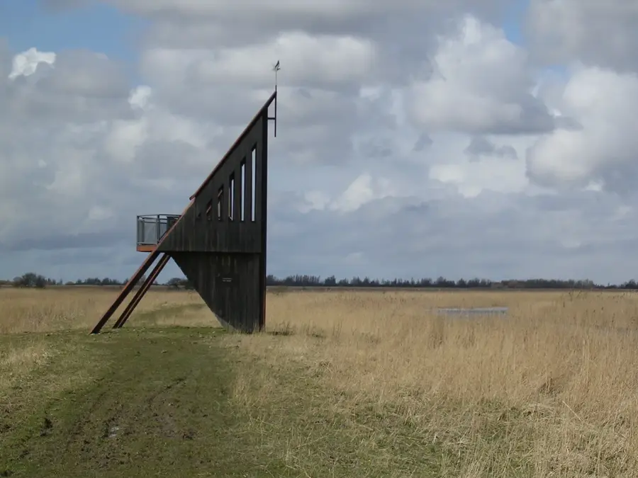
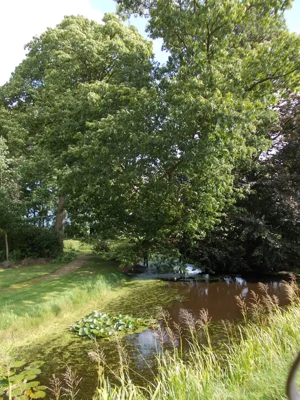
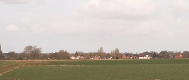
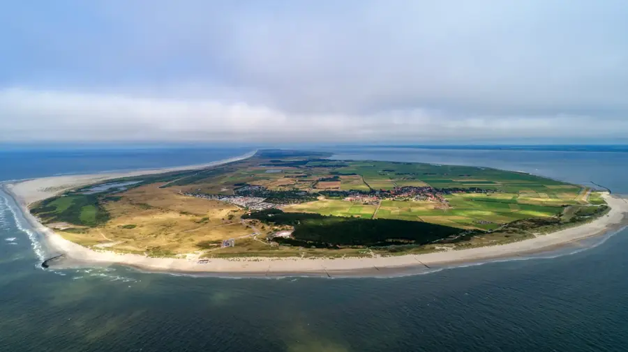
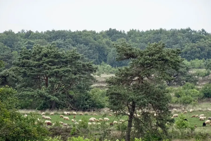
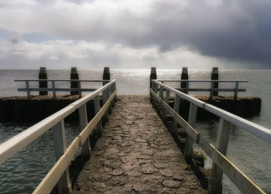
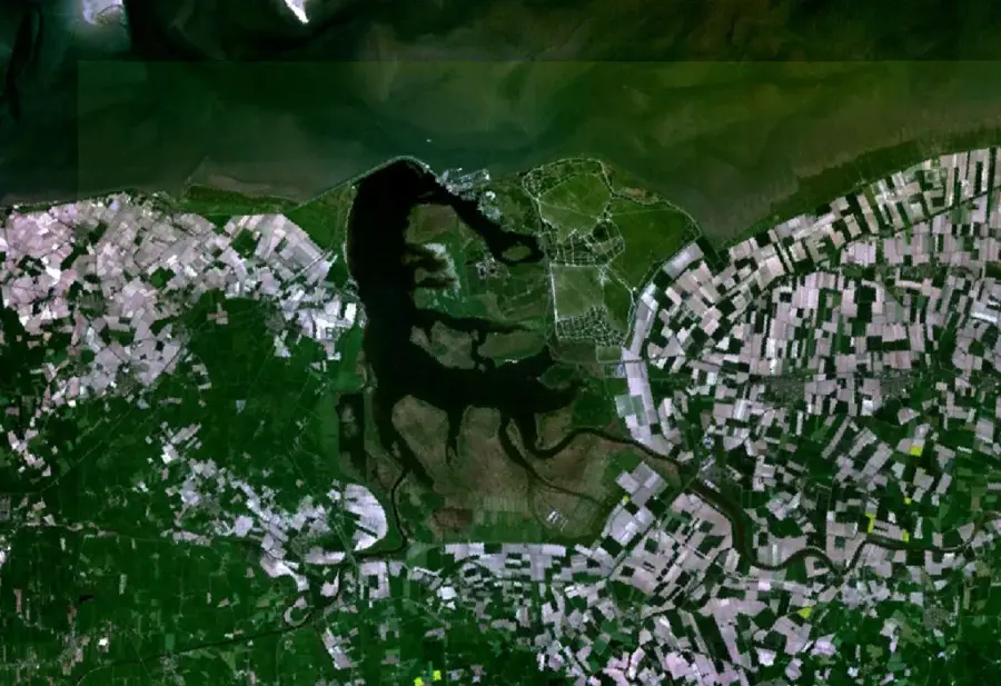
Schiermonnikoog is a Dutch Wadden Island and a national park with an area of 72 km², including 40 km² of tidal flats. The island features dunes, salt marshes, and broad sandy beaches. Established as a national park in 1989, it is part of the UNESCO World Heritage Wadden Sea. The island hosts rare plant species such as marram grass and sea holly. Birdlife is abundant, with breeding colonies of oystercatchers, avocets, and sandwich terns. Access is exclusively by ferry from Lauwersoog, carrying about 300,000 passengers annually. The permanent population is around 1,000, primarily reliant on tourism. The Wadden Sea is a critical stopover for migratory birds; over 10,000 brent geese winter here each year.
- Location: Friesland, Netherlands
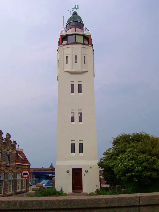
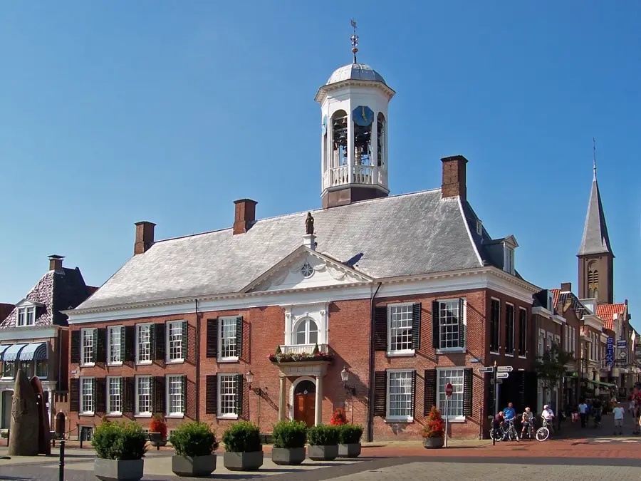
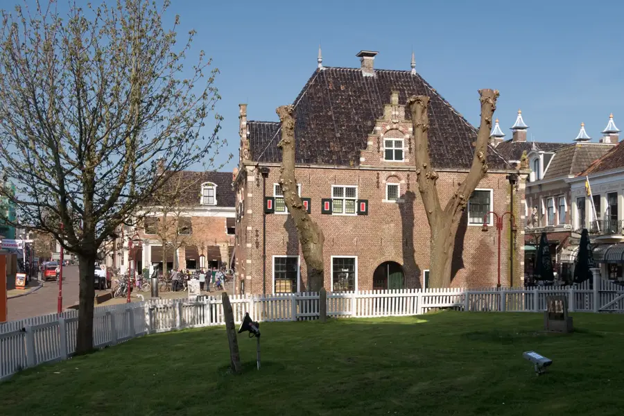
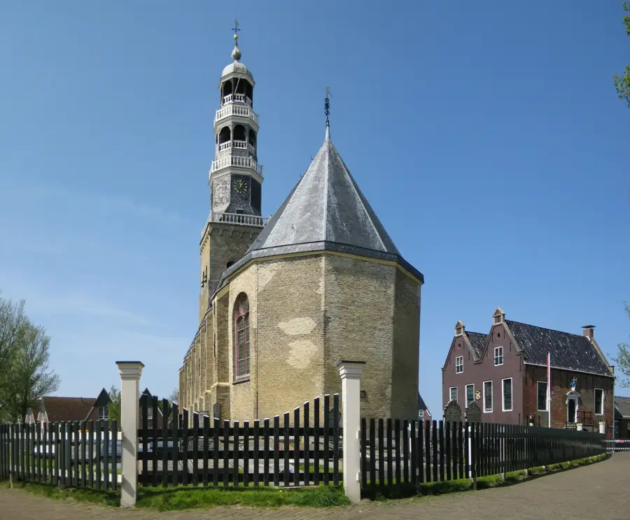
- Top sights: Schelpenmuseum Paal 14 · Duinen Schiermonnikoog · Westerstrand
- Nearby: Ulrum (18 km)
Best time to visit & climate
The most pleasant time to visit is Jul–Sep.
| Jan | Feb | Mar | Apr | May | Jun | Jul | Aug | Sep | Oct | Nov | Dec | |
|---|---|---|---|---|---|---|---|---|---|---|---|---|
| Avg °C | 4 | 4 | 5 | 8 | 12 | 15 | 18 | 18 | 16 | 12 | 8 | 5 |
| Rain mm | 87 | 69 | 58 | 41 | 58 | 67 | 83 | 91 | 72 | 80 | 80 | 88 |
📋 Practical info
Geography
Facts
- Island area: 72 km².
- National park since 1989.
- Population: approximately 1,000.
- Annual visitors: about 300,000.
- Tidal flat area: 40 km².
- Wintering brent geese: over 10,000.
Explore nearby
Notable places around
Route planner — Car & Motorhome
Where do you start? We build the route here, with stops and country notes along the way.
© OpenStreetMap contributors · OpenRouteService
Sights in the town Schiermonnikoog (7)
Sights nearby
Frequently asked questions
Are cars allowed on the island?
How wide is the beach?
What is the landmark of the island?
Can you go mudflat hiking there?
How do you get to the island?
Schiermonnikoog: where is it located?
Schiermonnikoog: what is there to see?
Schiermonnikoog: when is the best time to visit?
Schiermonnikoog: why is it worth visiting?

Nearby cities
History & landmarks
Nature

More places