Plizio Visual Lab
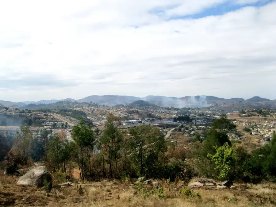
Lebombo Mountains

Weather…
Water temperature…
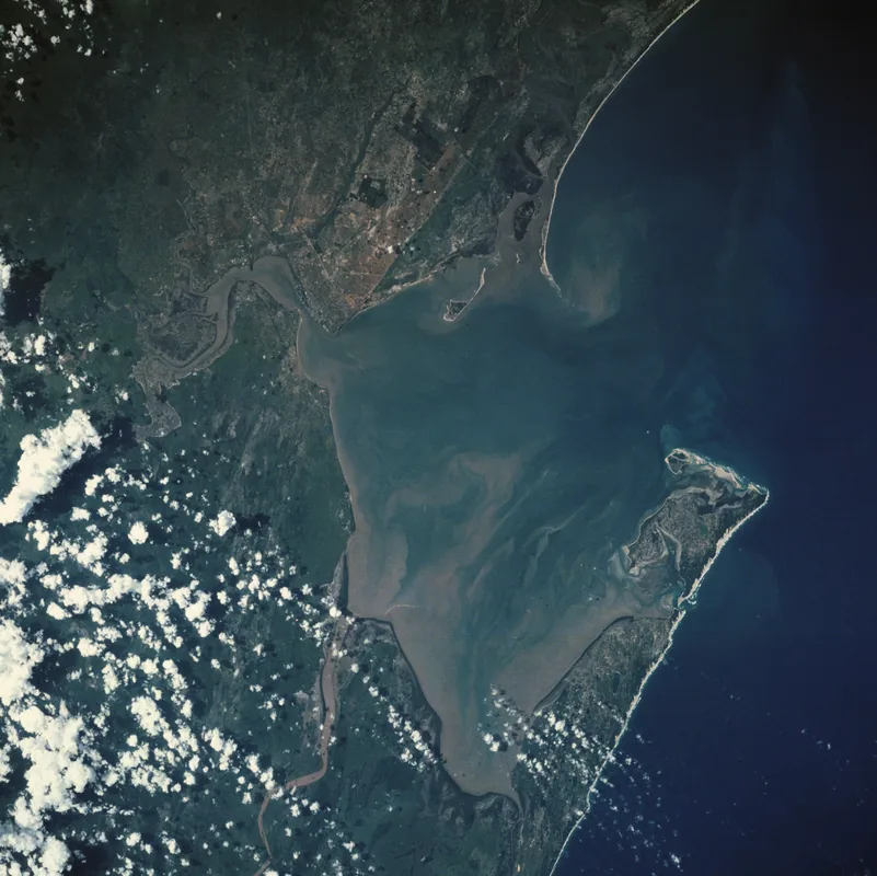
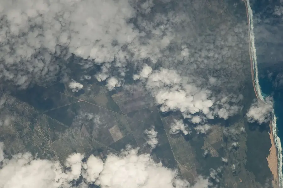
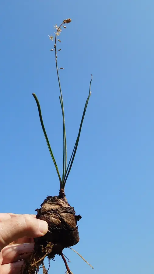
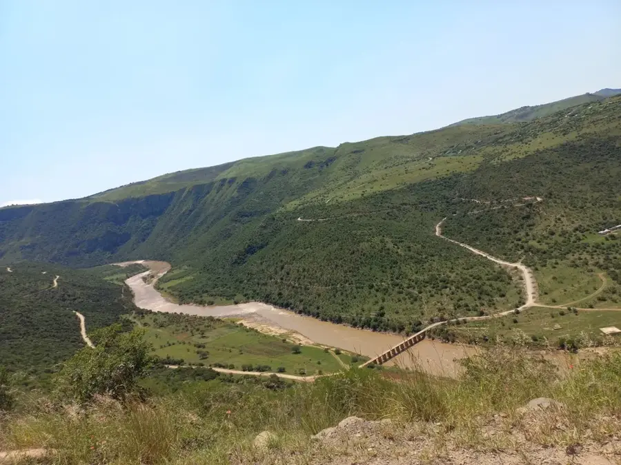
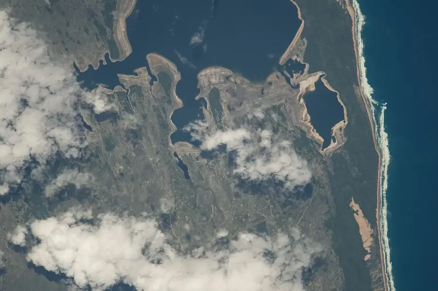
The Lebombo Mountains are a narrow, 800-kilometer-long volcanic range stretching along the borders of South Africa, Mozambique, and Eswatini. Composed primarily of rhyolite rock, this geological formation serves as a distinct natural boundary between the Indian Ocean coastal plains and the interior plateaus. The range maintains an average elevation between 400 and 800 meters, with Mount Sheba serving as its highest peak. Geologically, the mountains were formed approximately 180 million years ago during the breakup of the Gondwana supercontinent. Historically, the Lebombo range has provided strategic defensive positions and served as a vital corridor for seasonal wildlife migrations. Today, the area is home to several significant conservation zones, including eastern sections of the Kruger National Park, and supports a rich variety of drought-resistant flora and endemic fauna adapted to the rocky terrain.
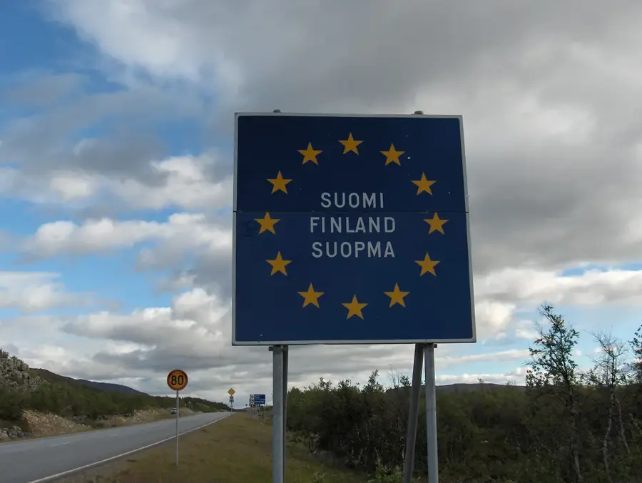
- Location: Mozambique
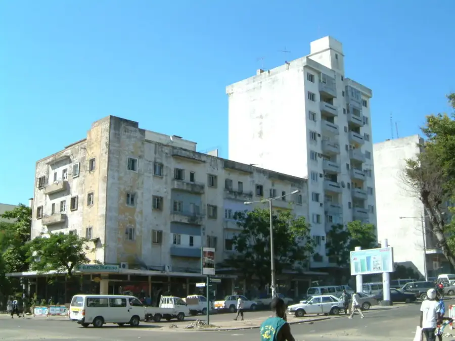
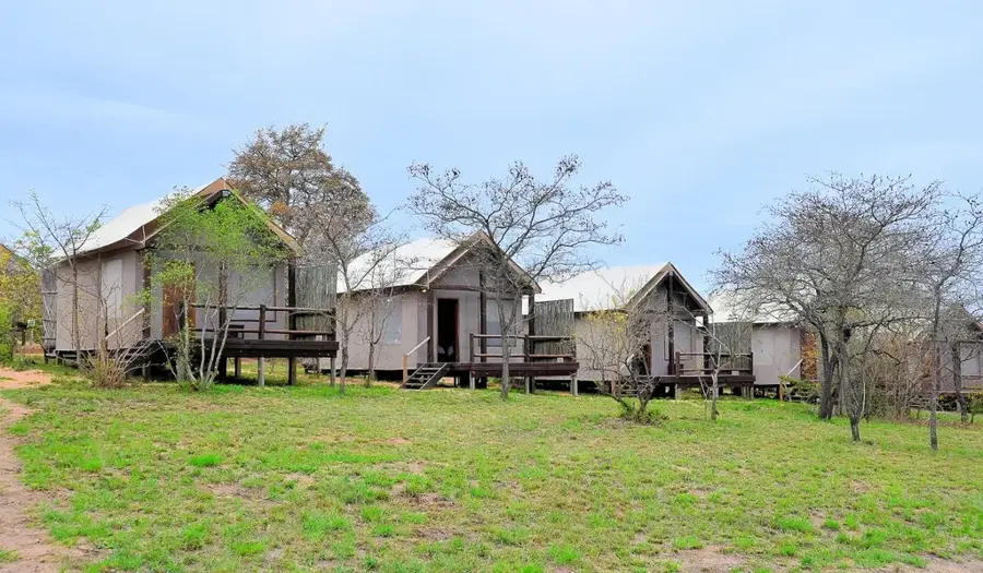
- Nearby: Namaacha (5 km)
Best time to visit & climate
The most pleasant time to visit is May, Aug, Sep.
| Jan | Feb | Mar | Apr | May | Jun | Jul | Aug | Sep | Oct | Nov | Dec | |
|---|---|---|---|---|---|---|---|---|---|---|---|---|
| Avg °C | 25 | 25 | 25 | 22 | 20 | 18 | 18 | 20 | 22 | 23 | 24 | 25 |
| Rain mm | 142 | 98 | 83 | 55 | 14 | 10 | 10 | 12 | 27 | 56 | 98 | 124 |
📋 Practical info
Geography
Facts
- The mountain range spans a total length of 800 kilometers.
- Mount Sheba is the highest point at approximately 800 meters.
- The geological structure consists primarily of volcanic rhyolite.
- The range formed 180 million years ago during the Jurassic period.
- The name 'Lebombo' is derived from the Zulu word for 'big nose'.
- The mountains define the border between South Africa and Mozambique.
Explore nearby
Notable places around
Route planner — Car & Motorhome
Where do you start? We build the route here, with stops and country notes along the way.
© OpenStreetMap contributors · OpenRouteService
Sights nearby
Frequently asked questions
Are the Lebombo mountains safe?
Can you hike there?
What is the best season?
Are there many tourists?
Is photography allowed?
Lebombo Mountains: where is it located?
Lebombo Mountains: when is the best time to visit?
Lebombo Mountains: why is it worth visiting?

Nearby cities

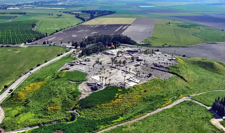


History & landmarks

Nature
More places