Plizio Visual Lab
Incomati Valley

Weather…
Water temperature…
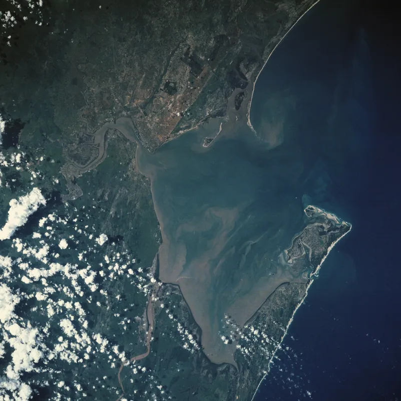
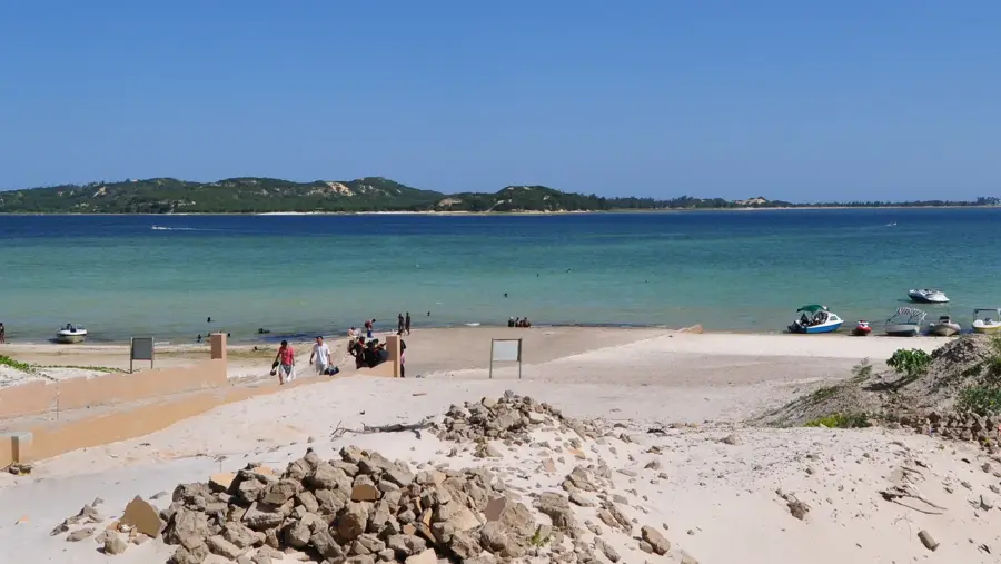
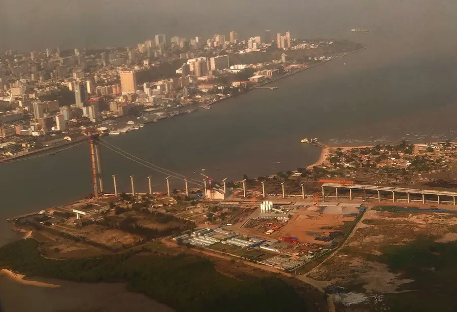
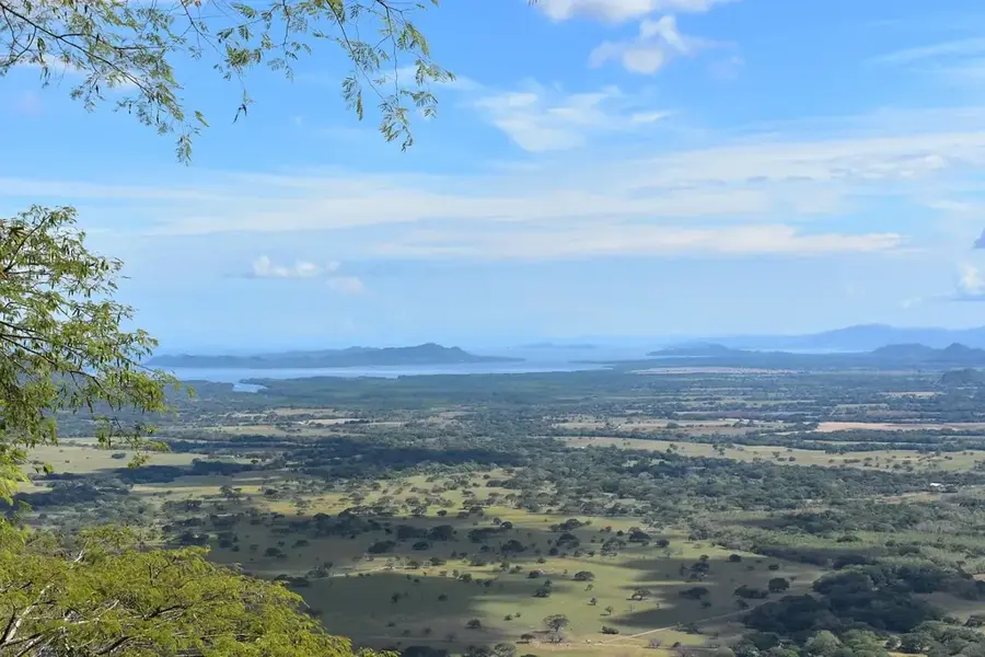
The Incomati Valley in southern Mozambique is a vast, fertile alluvial plain formed by the Incomati River as it descends from South Africa and Eswatini toward the Indian Ocean. This region is a cornerstone of Mozambique's agricultural sector, boasting rich soils and extensive irrigation systems that support large-scale commercial farming. The valley is particularly famous for its sugarcane plantations, with major processing hubs like Xinavane driving the regional economy. Geographically, the terrain is remarkably flat, making it prone to seasonal flooding which, while depositing nutrient-rich silt, also poses significant challenges to local infrastructure and villages. Near its mouth north of Maputo, the river creates a diverse estuarine environment composed of lagoons and mangrove swamps that are vital for local biodiversity and birdlife. Historically, the valley served as a strategic corridor for the Delagoa Bay Railway, linking the South African gold mines with the port of Maputo in the late 19th century.
- Location: Mozambique
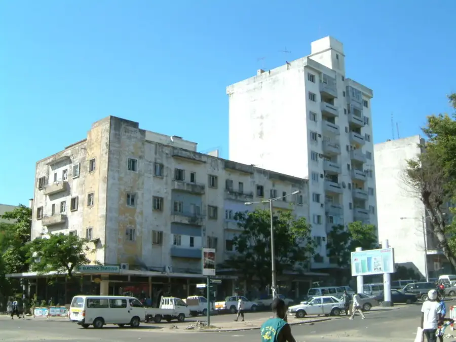
- Nearby: Manhiça (38 km)
Best time to visit & climate
The most pleasant time to visit is May, Jun, Aug.
| Jan | Feb | Mar | Apr | May | Jun | Jul | Aug | Sep | Oct | Nov | Dec | |
|---|---|---|---|---|---|---|---|---|---|---|---|---|
| Avg °C | 27 | 27 | 26 | 24 | 22 | 20 | 19 | 21 | 24 | 25 | 26 | 27 |
| Rain mm | 152 | 94 | 90 | 60 | 18 | 20 | 15 | 11 | 19 | 50 | 97 | 136 |
📋 Practical info
Geography
Facts
- Primary region for commercial sugarcane production.
- The river originates in South Africa's Drakensberg range.
- Location of major sugar mills in Xinavane and Maragra.
- Prone to significant seasonal flooding events.
- The estuary supports vital mangrove and avian habitats.
- Historic corridor for the Pretoria-Maputo railway line.
Explore nearby
Notable places around
Route planner — Car & Motorhome
Where do you start? We build the route here, with stops and country notes along the way.
© OpenStreetMap contributors · OpenRouteService
Sights nearby
Frequently asked questions
Is the Incomati Valley suitable for nature lovers?
Are there marked hiking trails there?
When is the best time to visit?
Is an off-road vehicle required?
Are there camping opportunities there?
Incomati Valley: where is it located?
Incomati Valley: when is the best time to visit?
Incomati Valley: why is it worth visiting?

Nearby cities

History & landmarks

More places