Plizio Visual Lab
Nkambeni
ℹ️Practical info — Nkambeni
▾
🌤 Weather — 5 days
📍 Nearby
Sights nearby
💡 Tips
- Visit the Komati River for picnics, but exercise extreme caution regarding hippos and crocodiles.
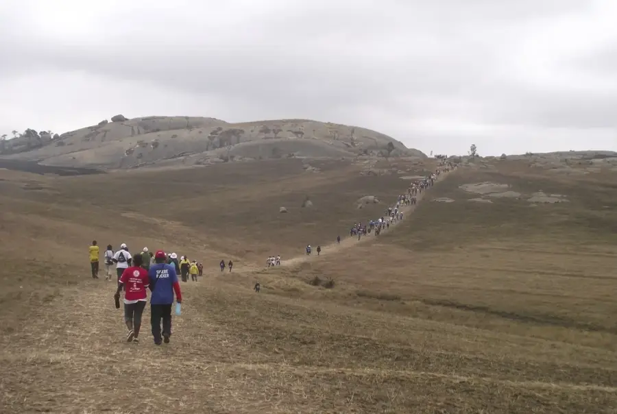
- Nkambeni is known for its animated community gatherings; ask about local events or soccer matches.
- Keep hydrated as the bushveld climate can be very hot and humid.
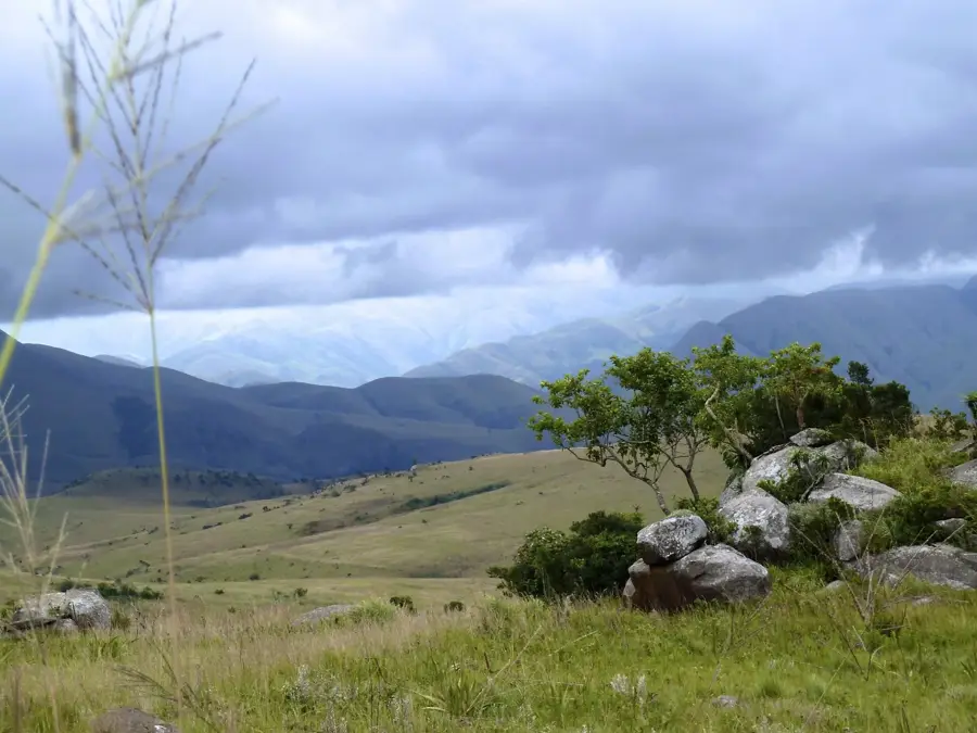
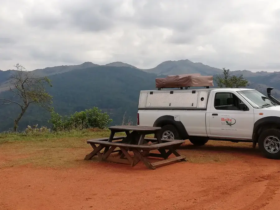
- Take advantage of the proximity to the Mzimnene area for scenic hikes.
- Keep an eye out for local birdlife, which is particularly diverse along the riverbanks.
🍽 Food
Occasionally, freshly caught fish from the Komati River is available at local stalls.
A popular snack prepared over open fires throughout the settlement.
Often served boiled or roasted, sourced directly from communal gardens.
🛍 Shopping · 🧘 Quiet spots
A place to find locally grown vegetables and occasionally handmade crafts.
Good for quick refreshments and seasonal produce while passing through.
Find a safe spot overlooking the river for quiet reflection and views.
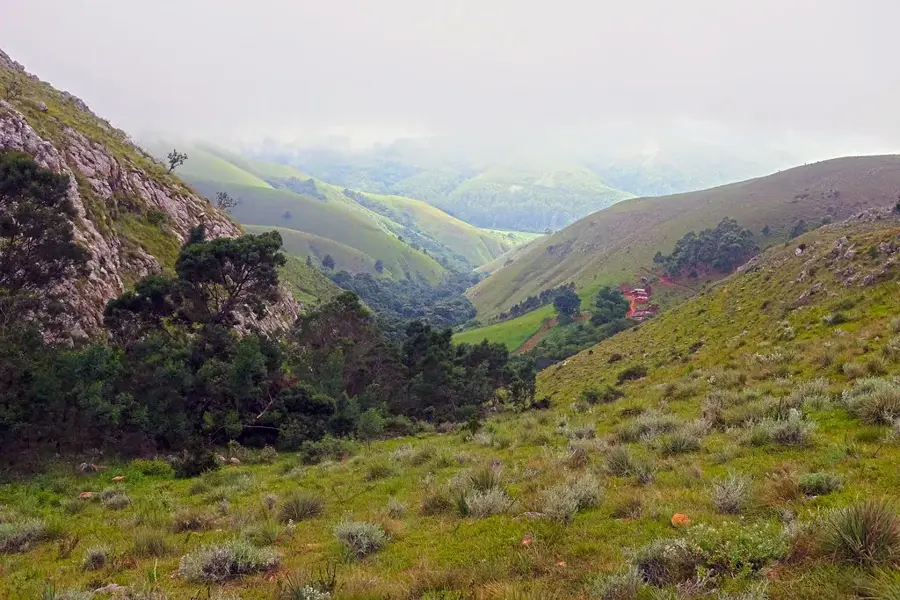
The vast areas outside the built-up sections offer solitude and raw nature.
Water temperature…
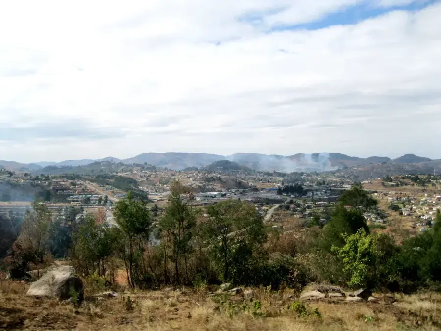
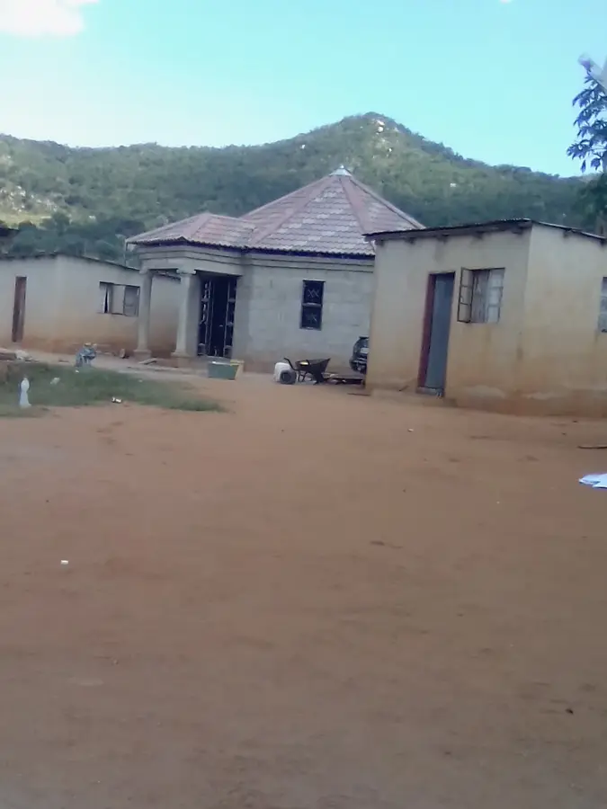
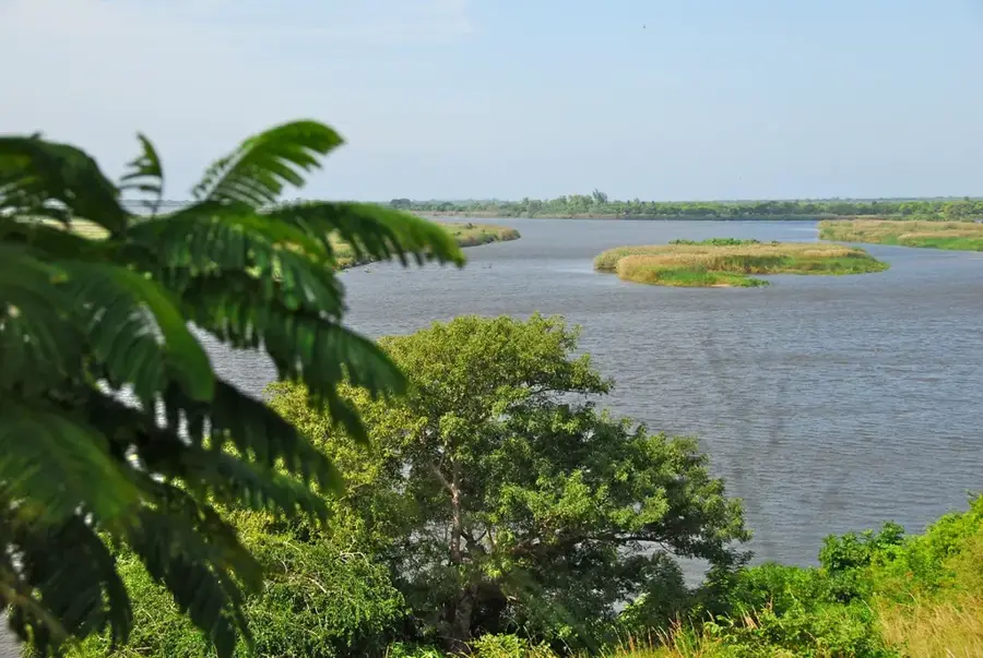
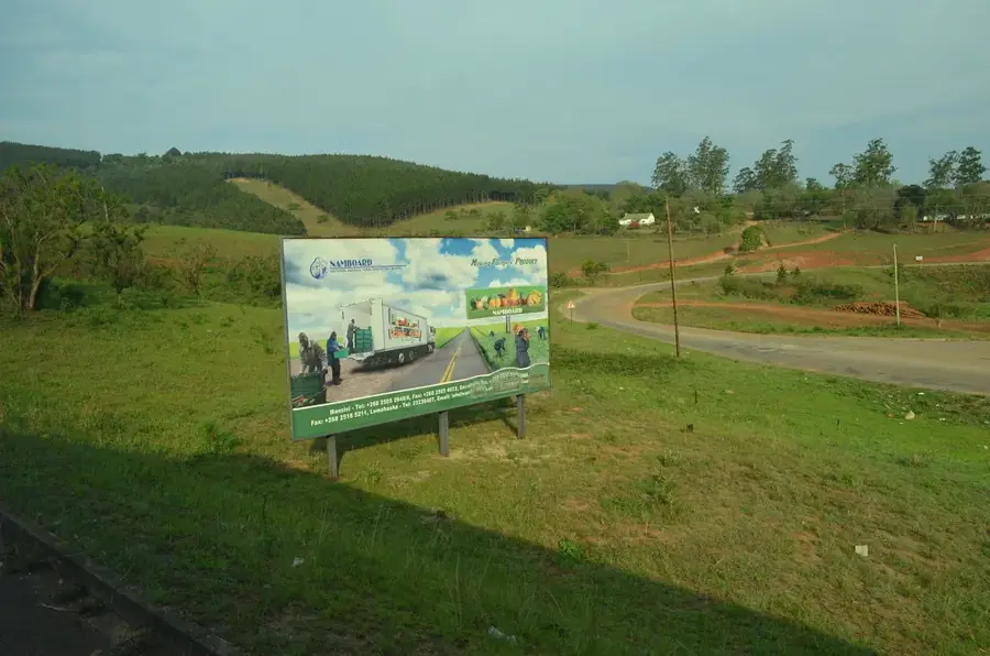
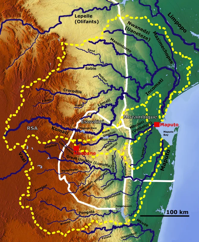
Nkambeni lies in the northern Hhohho District, set in an agricultural region near the Komati River. The settlement has developed dynamically in recent decades, mainly through the expansion of the major Komati Downstream Development Project (KDDP), which culminated in the construction of the Maguga Dam in 2002. This large-scale irrigation infrastructure has transformed the once relatively dry region into fertile farmland where sugar cane, vegetables and maize are now grown on large areas. The climate is mild Highveld with sufficient rainfall and mild winters; the region forms part of Eswatini's important watersheds. Economically Nkambeni is closely tied to the surrounding Mhlume and Tjaneni plantations, with many residents working as seasonal labor in the sugar industry. The community is traditionally organized, with chieftaincies coordinating cultural events such as marula festivals and royal ceremonies. Notable too is the presence of archaeological sites in the region, including ancient rock paintings indicating early San populations. Nkambeni is thus an example of how cutting-edge irrigation technology and traditional rural structures can coexist in Eswatini.
- Location: Eswatini
- Nearby: Tjaneni (8 km)
Best time to visit & climate
The most pleasant time to visit is May, Sep, Oct.
| Jan | Feb | Mar | Apr | May | Jun | Jul | Aug | Sep | Oct | Nov | Dec | |
|---|---|---|---|---|---|---|---|---|---|---|---|---|
| Avg °C | 23 | 23 | 22 | 19 | 17 | 15 | 15 | 17 | 19 | 21 | 22 | 23 |
| Rain mm | 142 | 97 | 83 | 54 | 14 | 9 | 10 | 12 | 27 | 58 | 99 | 125 |
Geography
Facts
- Located in the Lowveld of Eswatini at an elevation of approximately 300 meters.
- Situated near the Komati River, a major water resource.
- Adjacent to the Pigg's Peak region and the Kruger National Park.
- Known for large-scale irrigated sugar cane cultivation.
- Center for community wildlife reserves and conservation efforts.
- The climate is characterized by very hot summers with temperatures exceeding 35°C.
Explore nearby
Notable places around
Route planner — Car & Motorhome
Where do you start? We build the route here, with stops and country notes along the way.
© OpenStreetMap contributors · OpenRouteService
Sights in the town Nkambeni (1)
Frequently asked questions
How long does it take to explore Nkambeni?
Are there hiking opportunities near Nkambeni?
Is the area around Nkambeni safe for children?
What local currency is accepted in Nkambeni?
What is the best season to visit Nkambeni?
Nkambeni: where is it located?
Nkambeni: when is the best time to visit?
Nkambeni: why is it worth visiting?

Nearby cities

History & landmarks


Nature
More places