Plizio Visual Lab
Prokletije National Park
ℹ️Practical info — Prokletije National Park
▾
🌤 Weather — 5 days
📍 Nearby
Sights nearby
💡 Tips
- The weather changes incredibly fast in these rugged mountains; always pack rain gear and warm layers.
- Phone and GPS signals are highly unreliable in deep valleys like Grebaje or Ropojana; download offline maps or bring a physical one.
- Bring enough cash before heading into the valleys, as there are no ATMs outside the main towns of Plav and Gusinje.
- Start your hikes early in the morning to avoid the frequent afternoon thunderstorms typical for the Accursed Mountains.
🍽 Food
A heavy, hearty mountain dish made of cornmeal, potato, and cheese. Find it at traditional eco-katuns (shepherd huts) in the valleys.
Slow-cooked under a metal bell with potatoes. Best ordered in advance at guesthouses around Plav.
A thick, salty sheep milk specialty available in late summer. Try asking local shepherds or hosts in Gusinje.
🛍 Shopping · 🧘 Quiet spots
Wild mint and mountain tea collected locally. Available at small farm stands or local markets in Plav.
Thick, traditional wool garments great for hiking, sold directly by local women in the mountain villages.
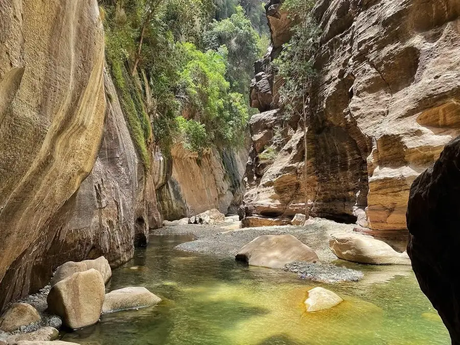
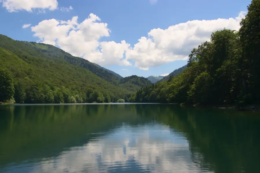
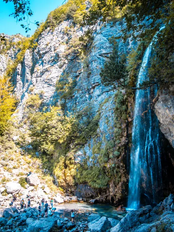
A serene glacial lake hidden in pine forests. It requires a hike or off-road drive but rewards you with absolute tranquility.
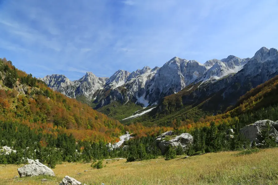
Wander beyond the last guesthouse in the valley to find vast, quiet meadows surrounded by jagged, dramatic peaks.
Water temperature…
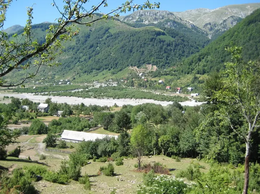
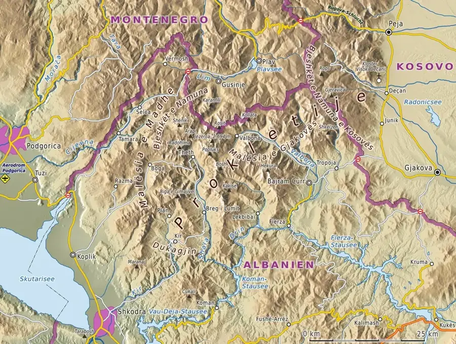
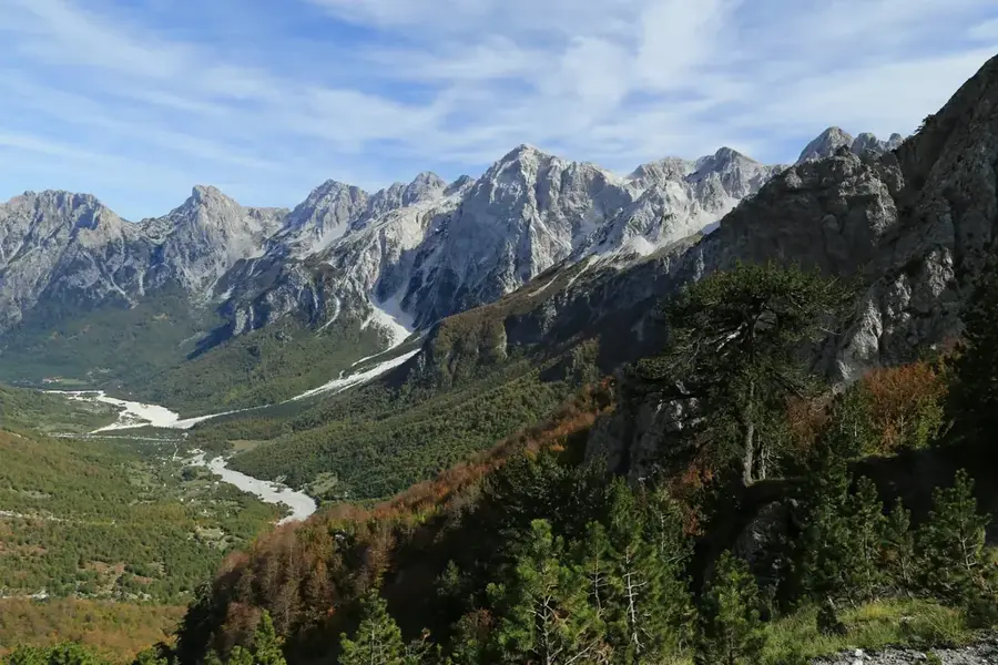
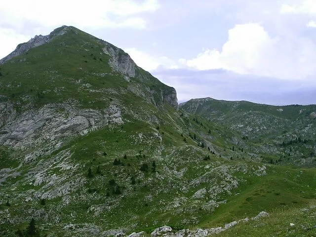
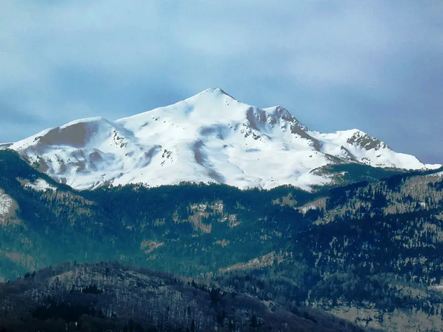
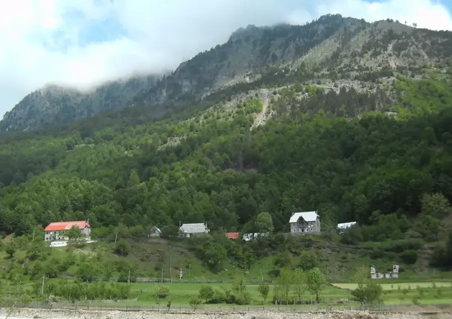
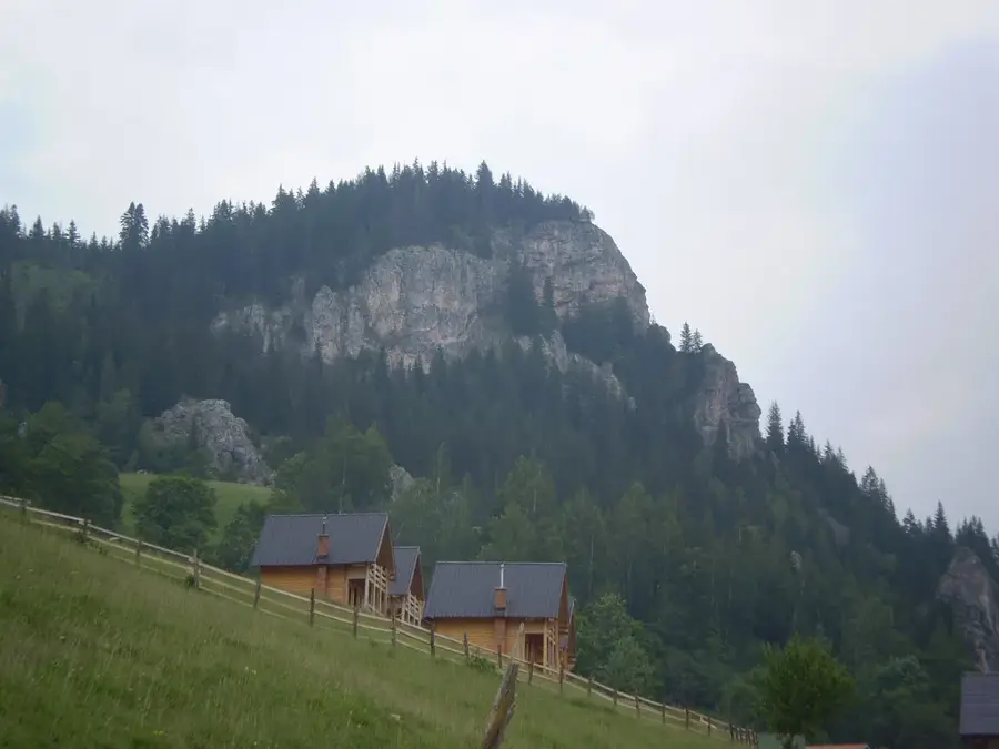
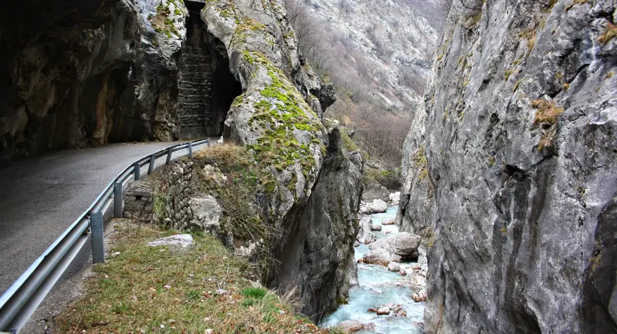
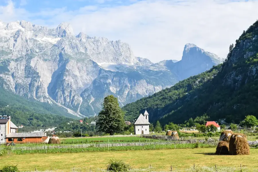
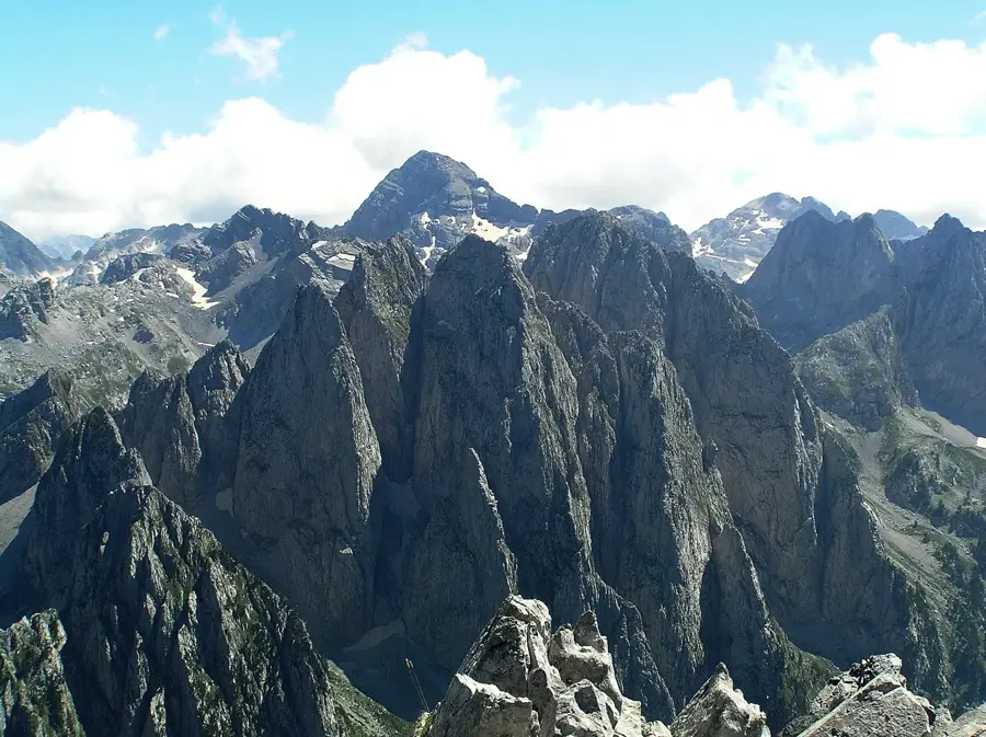
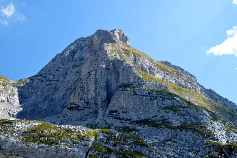
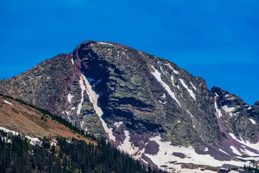
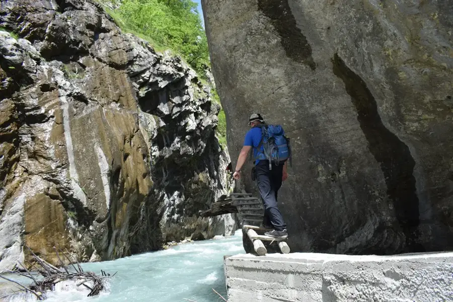
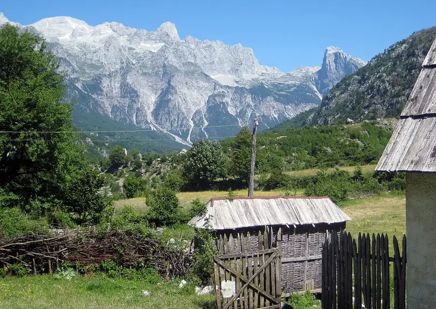
Established in 2009, Prokletije National Park protects 16,630 hectares of the Montenegrin section of the "Accursed Mountains" along the Albanian border. The terrain features deep U-shaped valleys, steep limestone peaks, and glacial lakes such as Lake Hridsko. At 2,534 meters, Zla Kolata stands as the highest peak in both the park and Montenegro. The Grebaje Valley presents alpine landscapes and serves as a starting point for demanding hikes. The dense pine forests maintain populations of brown bears, wolves, and chamois in an area with minimal tourist infrastructure.
- Location: Montenegro
- Top sights: Karaula · Obli krš · Tumba
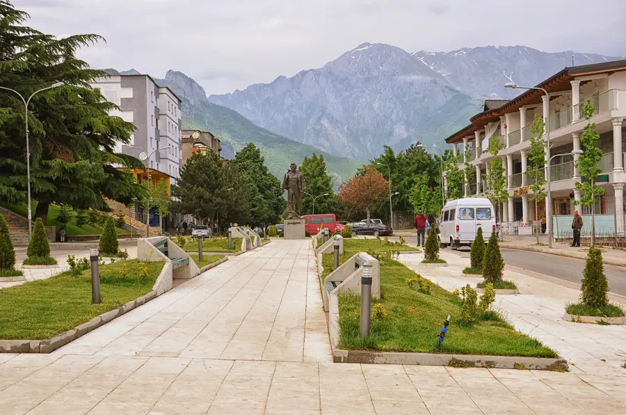
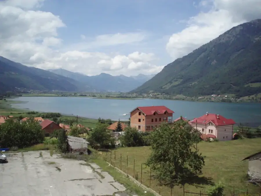
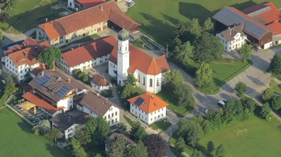
- Nearby: Plav (8 km)
- Population: ~3.615
Best time to visit & climate
The most pleasant time to visit is Jun–Aug.
| Jan | Feb | Mar | Apr | May | Jun | Jul | Aug | Sep | Oct | Nov | Dec | |
|---|---|---|---|---|---|---|---|---|---|---|---|---|
| Avg °C | -3 | -1 | 2 | 7 | 12 | 16 | 19 | 20 | 14 | 9 | 5 | -1 |
| Rain mm | 118 | 111 | 114 | 90 | 92 | 73 | 50 | 49 | 96 | 117 | 150 | 134 |
Geography
Facts
- Established in 2009
- Accursed Mountains
- Zla Kolata peak (2534m)
- Hridsko glacial lake
- Grebaje Valley
- Steep limestone peaks
- Albanian border region
- Brown bear habitat
Explore nearby
Notable places around
Route planner — Car & Motorhome
Where do you start? We build the route here, with stops and country notes along the way.
© OpenStreetMap contributors · OpenRouteService
Sights in the town Prokletije National Park (3)
Frequently asked questions
Why is the Prokletije range called 'Accursed Mountains'?
Which valley in Prokletije is the most beautiful for hiking?
Are there marked trails in Prokletije National Park?
When is the best time for a mountain tour in Prokletije?
Are there accommodations near the park?
Prokletije National Park: where is it located?
Prokletije National Park: what is there to see?
Prokletije National Park: when is the best time to visit?
Prokletije National Park: why is it worth visiting?

Nearby cities


History & landmarks
Nature

More places