Plizio Visual Lab
Maja e Radohimës
Weather…
Water temperature…
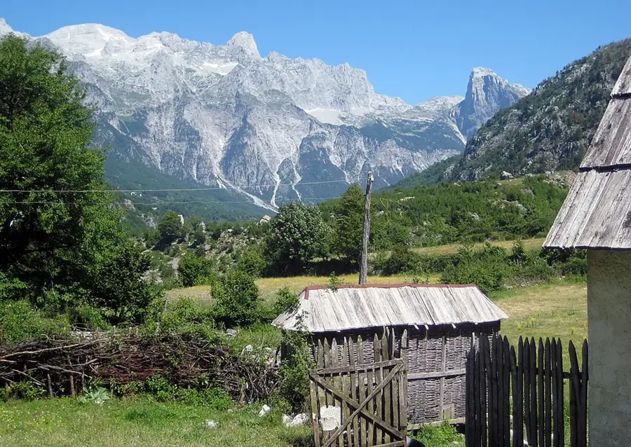
Maja e Radohimës is one of the most striking peaks in the Albanian Alps (Prokletije) in the north of the country, reaching an elevation of 2,570 meters. Located in the western part of the massif, south of the famous Theth valley, it is known for its massive limestone walls and deep karst sinkholes. Geologically, the mountain is part of a high-altitude plateau shaped by intense glacial erosion and karstification, leading to a rugged and alien-like summit landscape. Vegetation above the tree line is sparse, consisting of alpine grasses and rare herbs, while the lower slopes are covered in thick beech forests. Historically, due to its prominence, Radohima served as a vital landmark for mountain tribes and shepherds navigating the region. Climbing it is considered one of the toughest challenges in the Albanian Alps, requiring both stamina and mountaineering experience. From the top, it gives panoramic views across the entire Prokletije range, extending to Lake Shkodra in the west. The area is part of the Theth National Park and is under strict protection to preserve its delicate ecosystem and wildlife, such as chamois and golden eagles. The mountain embodies the wild and primordial power of the northern Albanian high-altitude landscape.
- Location: Albania
- Top sights: Maja e Harapit · Maja Stogut · Maja e Radohimës
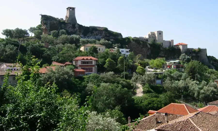
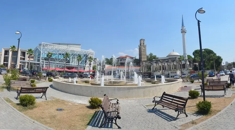
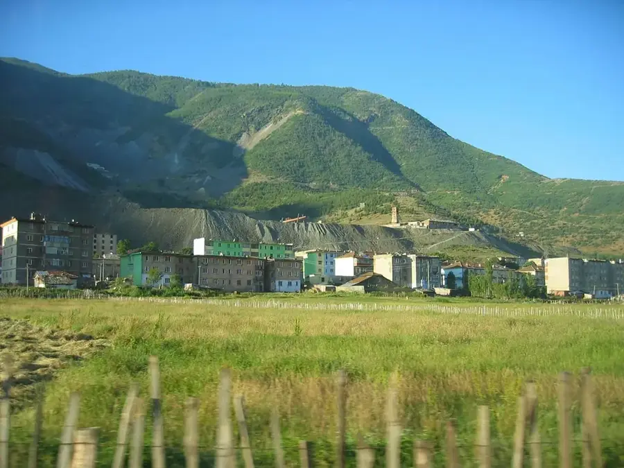
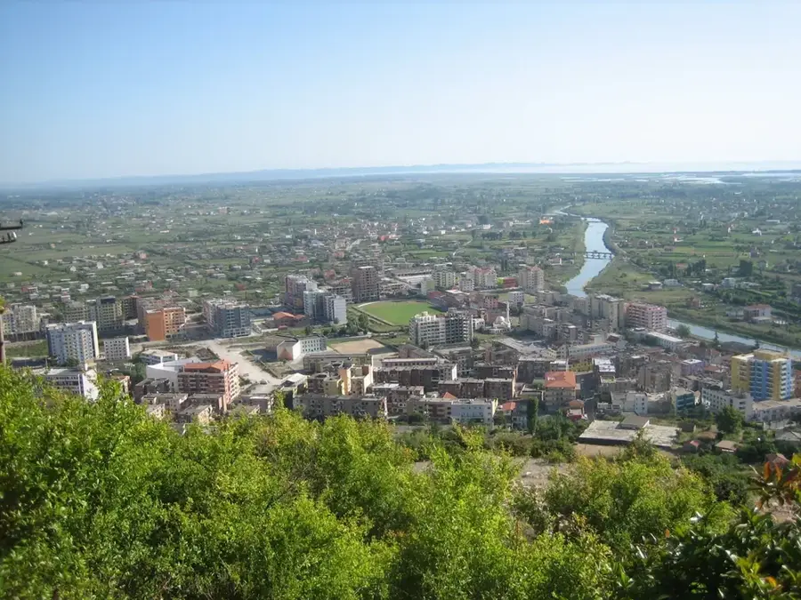
- Nearby: Theth (5 km)
Best time to visit & climate
The most pleasant time to visit is Jun–Aug.
| Jan | Feb | Mar | Apr | May | Jun | Jul | Aug | Sep | Oct | Nov | Dec | |
|---|---|---|---|---|---|---|---|---|---|---|---|---|
| Avg °C | -1 | 1 | 4 | 8 | 13 | 17 | 21 | 21 | 16 | 11 | 6 | 1 |
| Rain mm | 154 | 148 | 141 | 103 | 92 | 70 | 44 | 44 | 113 | 140 | 194 | 177 |
📋 Practical info
Geography
Facts
- Elevation reaches 2,570 meters in the Albanian Alps.
- Situated directly to the south of the Theth valley.
- Features extreme karst topography and limestone cliffs.
- Contains several significant and deep karst cave systems.
- Protected within the boundaries of Theth National Park.
- Home to diverse high-altitude wildlife including chamois.
Explore nearby
Notable places around
Route planner — Car & Motorhome
Where do you start? We build the route here, with stops and country notes along the way.
© OpenStreetMap contributors · OpenRouteService
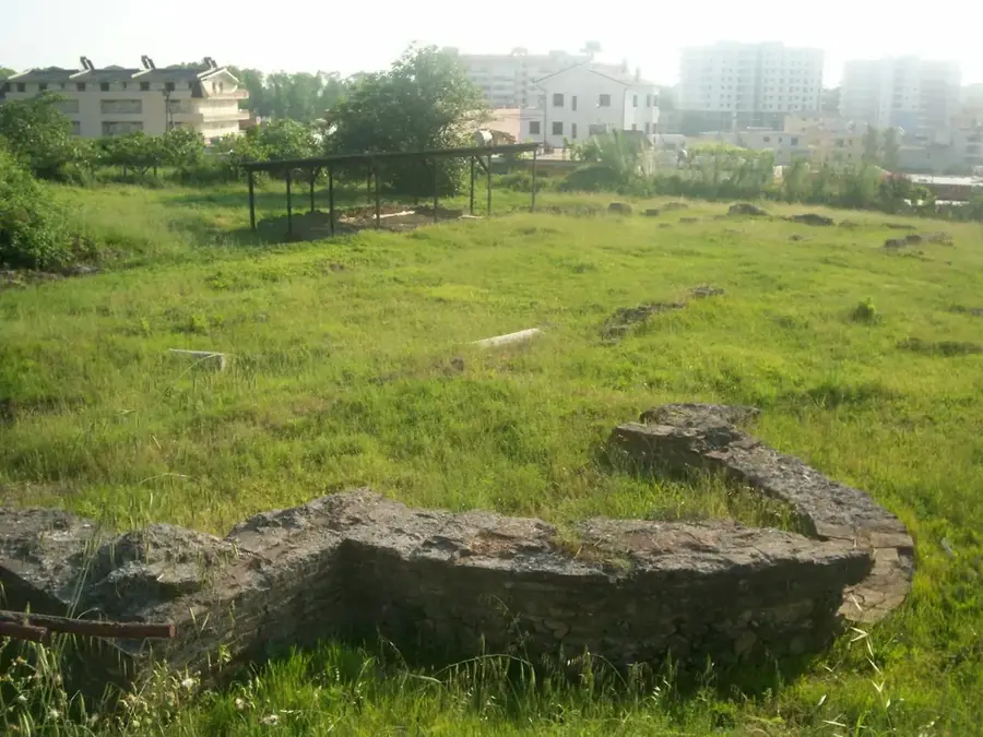
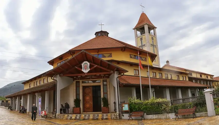
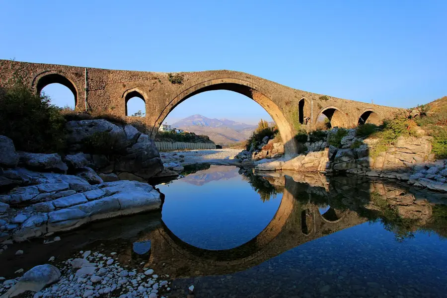
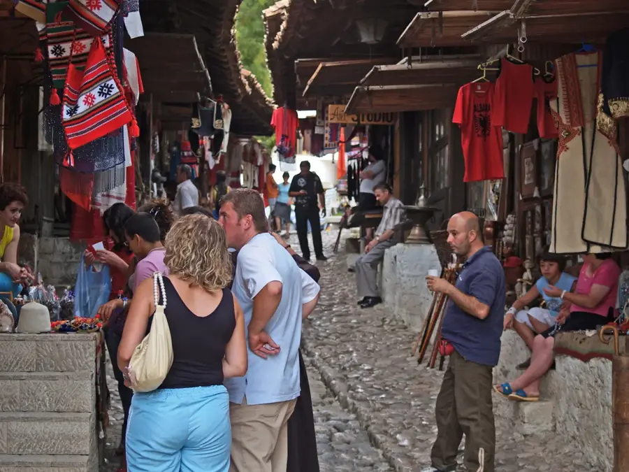
Sights in the town Maja e Radohimës (3)
Sights nearby
Frequently asked questions
How high is the Radohima peak?
Which place is the best starting point?
How difficult is the climb?
How long does a hike to the peak take?
When is there snow on Radohima?
Maja e Radohimës: where is it located?
Maja e Radohimës: what is there to see?
Maja e Radohimës: when is the best time to visit?
Maja e Radohimës: why is it worth visiting?

Nearby cities