Plizio Visual Lab
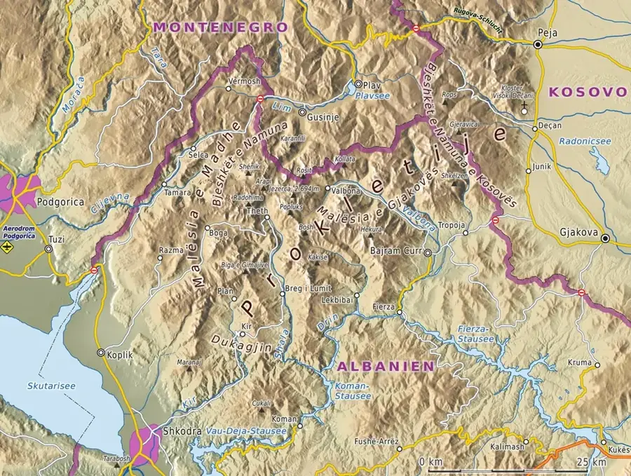
Zla Kolata
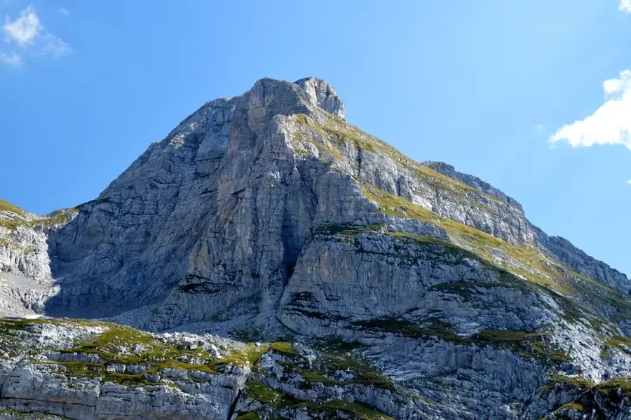
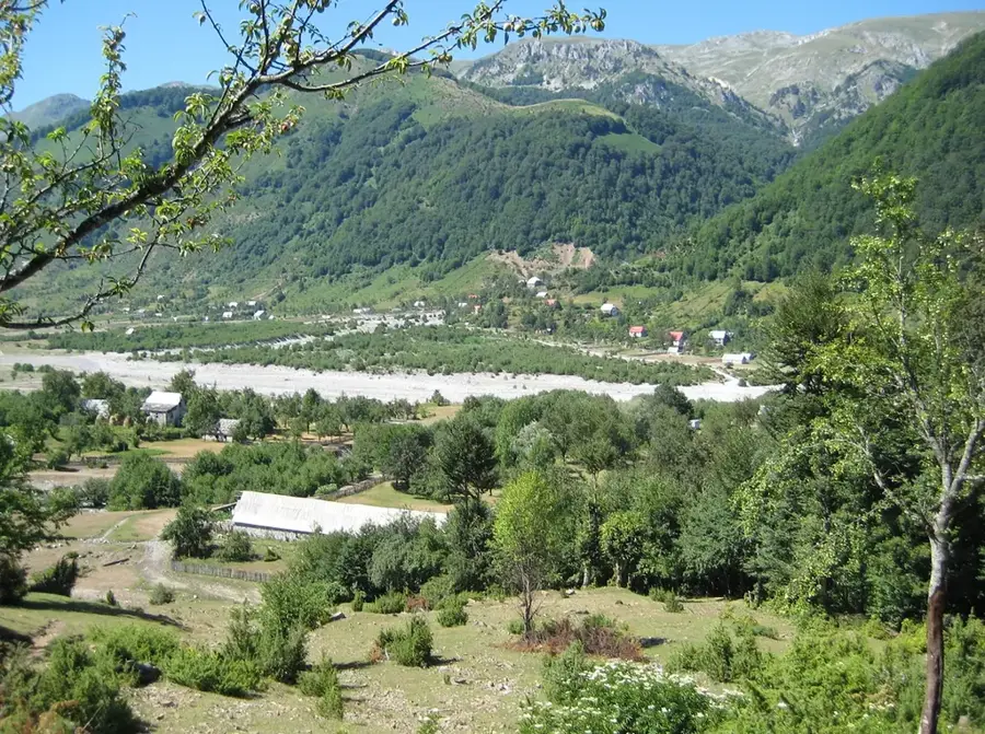
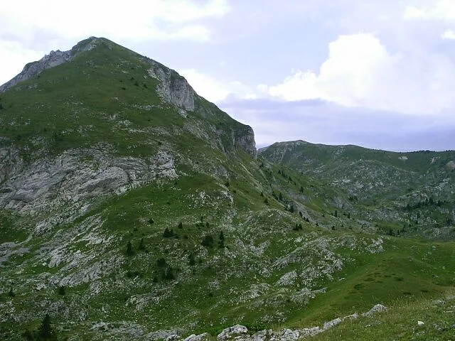
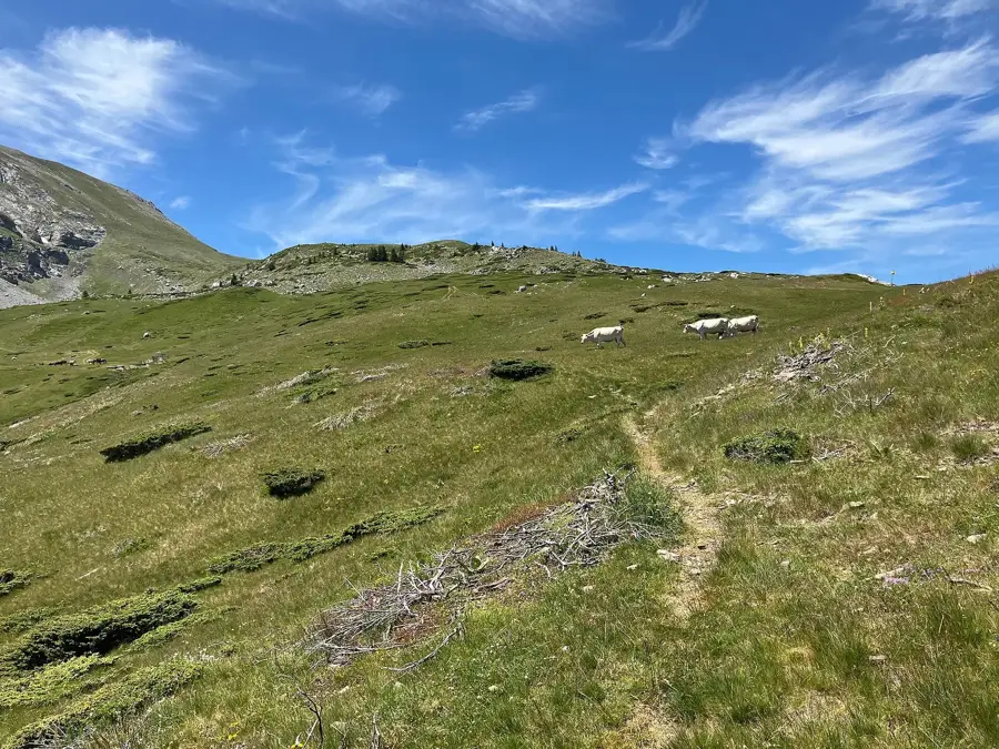
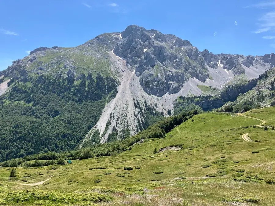
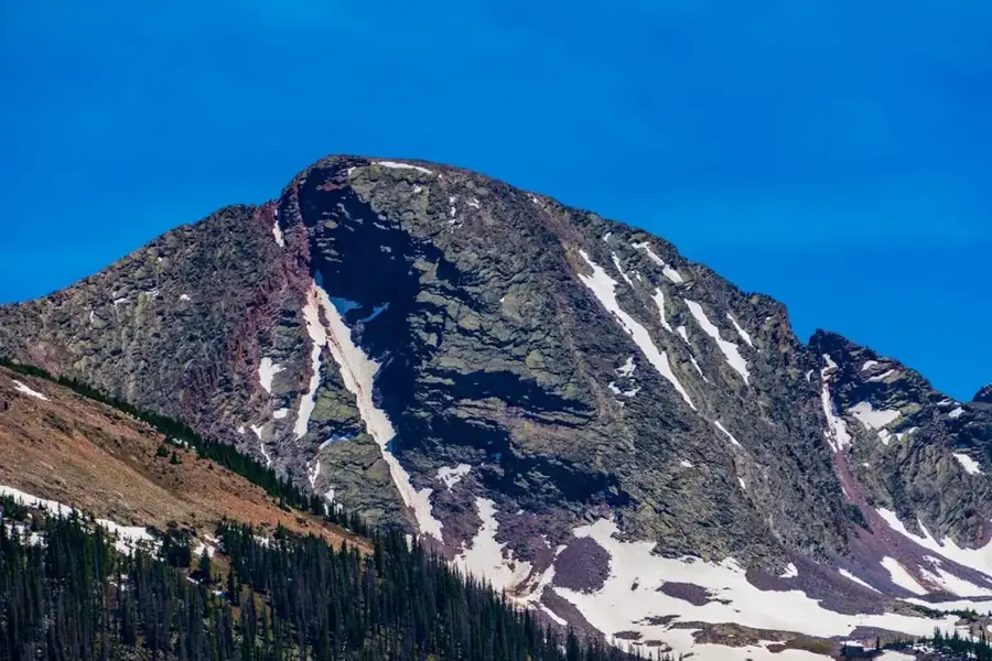
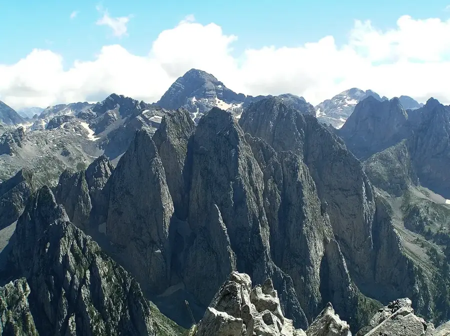
Zla Kolata is officially the highest peak in Montenegro, standing at 2,534 meters above sea level in the Prokletije mountain range on the border with Albania. It is part of the Kolata massif, which also includes the neighboring and slightly lower Dobra Kolata peak. This region, often referred to as the "Accursed Mountains," is defined by its extremely rugged limestone terrain, sharp ridges, and deep glacial valleys. For a long time, Bobotov Kuk was considered the nation's highest point, but modern surveys confirmed Zla Kolata's primacy. Reaching the summit is a demanding task for hikers, with routes typically starting from the village of Vusanje and passing through the Ropojana Valley. The climate in this area is strictly alpine, with long winters and significant snowfall lasting late into the season. The peak is situated within Prokletije National Park, established in 2009 to protect the unique biodiversity and pristine landscapes of the border region.
- Location: Montenegro
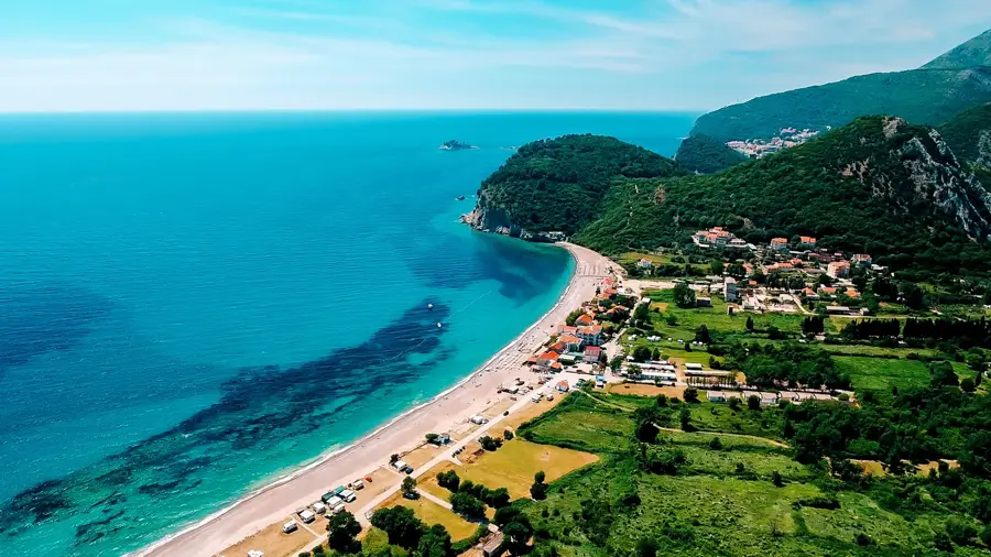
- Top sights: Maja e Thatë · Zla Kolata / Kollate e Keqe · Dobra Kolata / Kollate e Mires
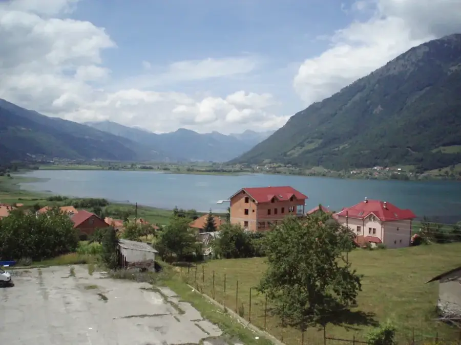
- Nearby: Prokletije National Park (5 km)
Best time to visit & climate
The most pleasant time to visit is Jun–Aug.
| Jan | Feb | Mar | Apr | May | Jun | Jul | Aug | Sep | Oct | Nov | Dec | |
|---|---|---|---|---|---|---|---|---|---|---|---|---|
| Avg °C | -3 | -1 | 2 | 7 | 12 | 16 | 19 | 20 | 14 | 9 | 5 | -1 |
| Rain mm | 118 | 111 | 114 | 90 | 92 | 73 | 50 | 49 | 96 | 117 | 150 | 134 |
📋 Practical info
Geography
Facts
- Elevation of 2,534 meters
- Highest point in Montenegro
- Located in the Prokletije range
- On the Montenegro-Albania border
- Part of the Kolata massif
- Within a National Park since 2009
Explore nearby
Notable places around
Route planner — Car & Motorhome
Where do you start? We build the route here, with stops and country notes along the way.
© OpenStreetMap contributors · OpenRouteService
Sights in the town Zla Kolata (3)
Sights nearby
Frequently asked questions
Is Zla Kolata the highest mountain in Montenegro?
Is the mountain on the border?
How difficult is the ascent?
Where does the hike start from?
What does the name mean?
Zla Kolata: where is it located?
Zla Kolata: what is there to see?
Zla Kolata: when is the best time to visit?
Zla Kolata: why is it worth visiting?

Nearby cities


History & landmarks

Nature
More places