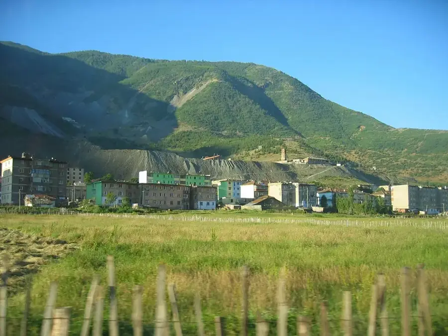
Valbona Valley National Park🌿 nature
A spectacular national park in the Albanian Alps featuring high peaks.
🌐 akzm.gov.al🕒 24/7
Plizio Visual Lab
Weather…
Water temperature…
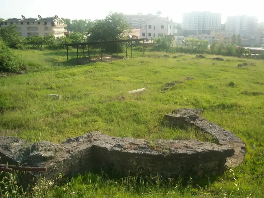
Maja e Hekurave, located in northern Albania, stands as one of the most prominent peaks of the Albanian Alps, reaching an elevation of 2,559 meters above sea level. Its name translates to "Iron Peak," a reference to the rugged and dark appearance of its limestone massifs. Geographically, the mountain is part of the Prokletije range, characterized by sharp ridges and deep valleys shaped by ancient glacial activity. The area is a sanctuary for diverse wildlife, including brown bears and Balkan lynx, thriving in the inaccessible rocky terrain. Historically, the mountain has been a site for traditional high-altitude pastoralism, where local communities have grazed livestock for generations. Today, it is a challenging destination for mountaineers seeking solitude and untouched wilderness away from more popular trails. The summit has expansive views over the Valbona Valley and extends across the border into Montenegro. As part of the Albanian Alps National Park, the mountain is protected for its significant ecological and geological value, representing the wild heart of the region.
The most pleasant time to visit is Jun–Aug.
| Jan | Feb | Mar | Apr | May | Jun | Jul | Aug | Sep | Oct | Nov | Dec | |
|---|---|---|---|---|---|---|---|---|---|---|---|---|
| Avg °C | -3 | -1 | 2 | 7 | 12 | 16 | 19 | 20 | 14 | 9 | 5 | -1 |
| Rain mm | 118 | 111 | 114 | 90 | 92 | 73 | 50 | 49 | 96 | 117 | 150 | 134 |
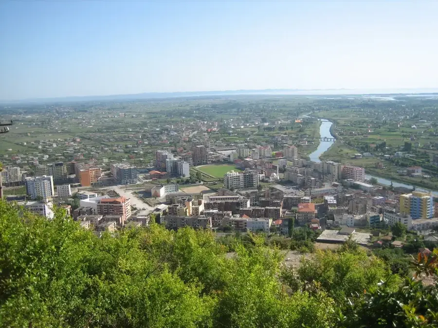
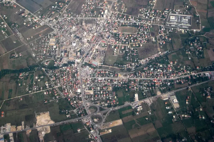
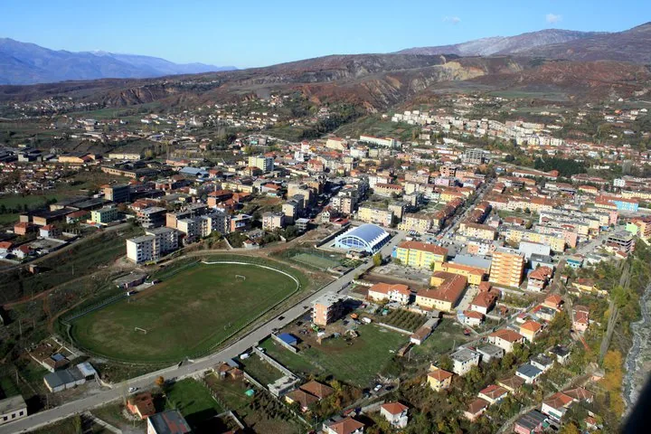
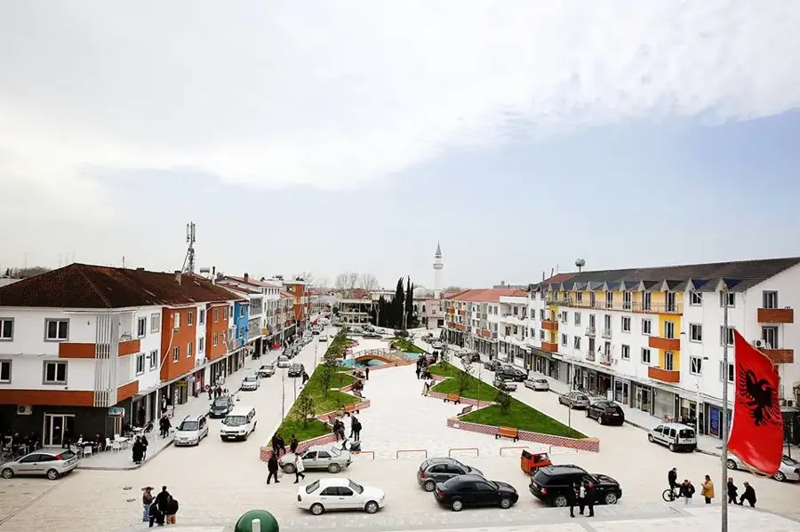
Notable places around
Where do you start? We build the route here, with stops and country notes along the way.
© OpenStreetMap contributors · OpenRouteService
A spectacular national park in the Albanian Alps featuring high peaks.