Plizio Visual Lab
Maja Jezercë
Weather…
Water temperature…
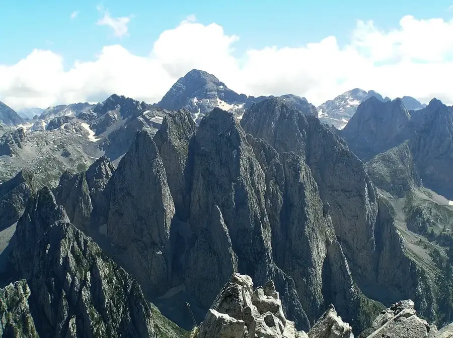
Maja Jezercë, standing at 2,694 meters, is the highest peak of the Albanian Alps (Prokletije) and the tallest point in the entire Dinaric Alps system. Located in northern Albania near the Montenegrin border, it is renowned for its ruggedness and extreme isolation. The mountain is composed of Mesozoic limestone, significantly shaped by Pleistocene glaciations that carved deep cirques and jagged ridges. Notably, some of the southernmost glacial remnants in Europe are still found in its northern shadows. Climbing Maja Jezercë is considered a major alpine achievement, demanding high-level fitness and navigational skills due to the lack of marked trails in some sections. It lies within the Valbona Valley National Park, providing a sanctuary for high-altitude wildlife such as chamois and golden eagles. The peak's name translates to 'Lake Peak', referring to the numerous glacial tarns located at its base and surrounding plateaus. Its remote nature has ensured the preservation of one of the last truly wild mountain environments in Europe.
- Location: Albania
- Top sights: Maja e Kokërhanes · Valbona's Waterfall
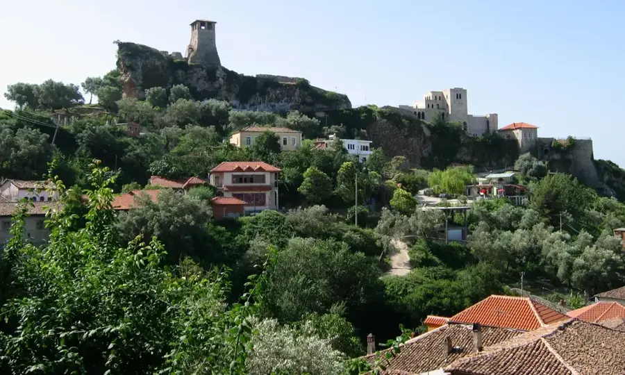
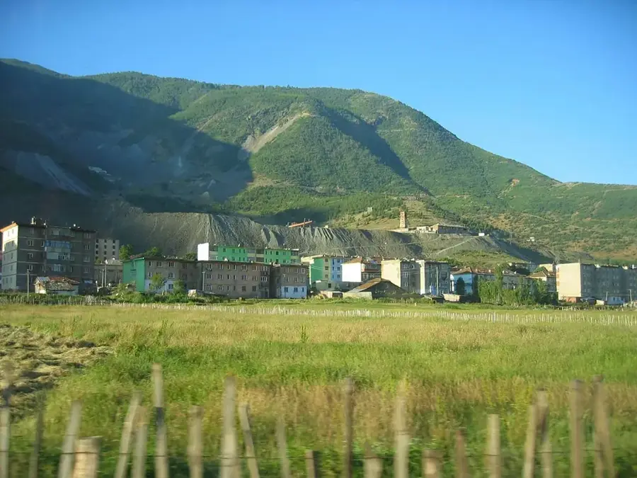
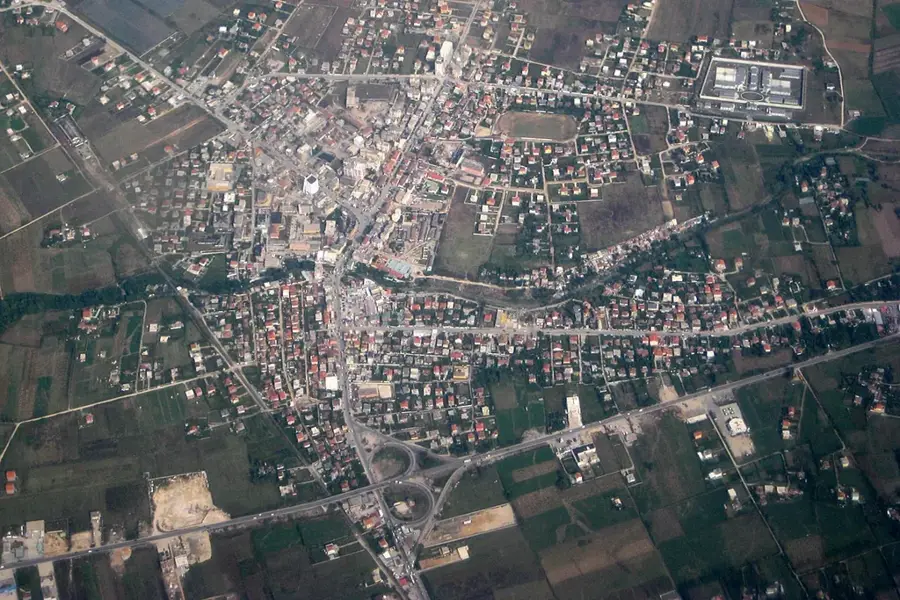
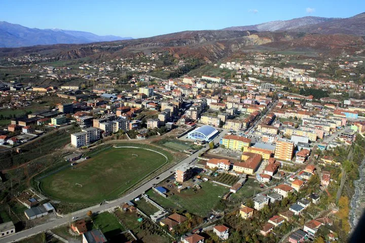
- Nearby: Valbona (6 km)
Best time to visit & climate
The most pleasant time to visit is Jun–Aug.
| Jan | Feb | Mar | Apr | May | Jun | Jul | Aug | Sep | Oct | Nov | Dec | |
|---|---|---|---|---|---|---|---|---|---|---|---|---|
| Avg °C | -3 | -1 | 2 | 7 | 12 | 16 | 19 | 20 | 14 | 9 | 5 | -1 |
| Rain mm | 118 | 111 | 114 | 90 | 92 | 73 | 50 | 49 | 96 | 117 | 150 | 134 |
📋 Practical info
Geography
Facts
- Highest peak of the Dinaric Alps (2,694m)
- Located in the rugged Prokletije range
- Features deep glacial cirques and ridges
- Home to southernmost micro-glaciers in Europe
- Name translates to 'Lake Peak'
- Core part of Valbona Valley National Park
Explore nearby
Notable places around
Route planner — Car & Motorhome
Where do you start? We build the route here, with stops and country notes along the way.
© OpenStreetMap contributors · OpenRouteService
Sights in the town Maja Jezercë (2)
Sights nearby
Frequently asked questions
How high is the Jezerca Peak?
How difficult is it to climb Jezerca?
Where does the usual route to the summit start?
Are there glaciers on Jezerca?
When is the best time for a climb?
Maja Jezercë: where is it located?
Maja Jezercë: what is there to see?
Maja Jezercë: when is the best time to visit?
Maja Jezercë: why is it worth visiting?

Nearby cities