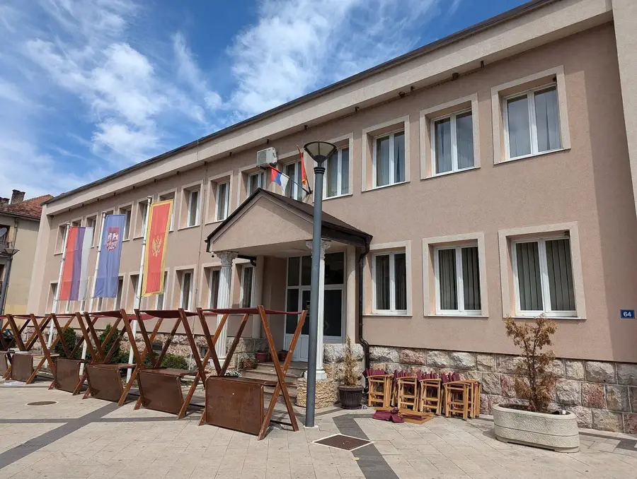
Zavičajni muzej🏛 museum
The local heritage museum in Andrijevica preserves the cultural heritage of the region.
🌐 toandrijevica.me🕒 Mo-Su 09:00-22:00
Plizio Visual Lab
A fragrant mountain flower honey; look for roadside stalls on the way to Komovi to buy it directly from beekeepers.
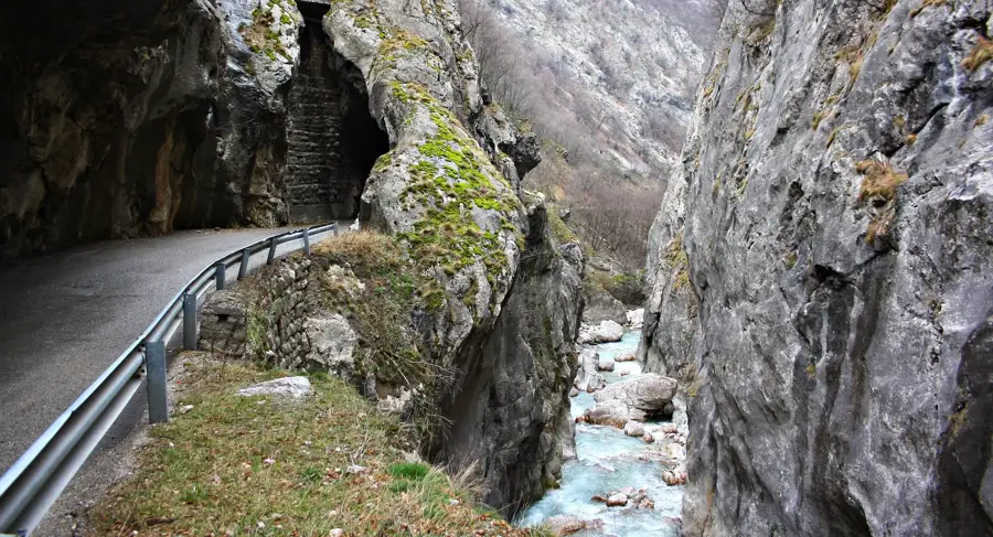
Enjoy fresh trout caught directly from the river, best served grilled in restaurants near the Bandovića bridge.
A hearty mountain mash made of potatoes, flour, and local cheese, well-suited for refueling after a hike.
The heart of local trade where you can find wild forest berries, homemade cheeses, and fresh farm produce.
Look for thick sheep-wool socks and sweaters sold by local craftspeople in the town center.
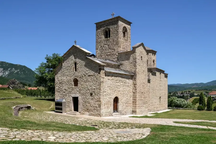
A peaceful memorial park in the center featuring the 19th-century Church of St. Archangel Michael.
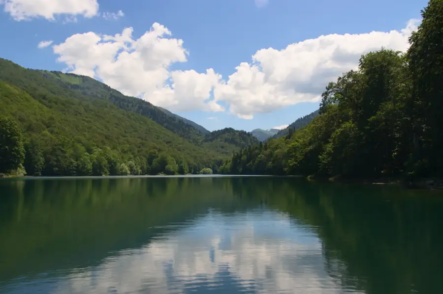
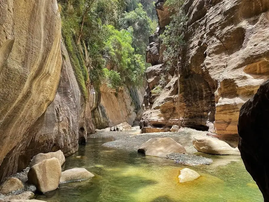
A short walk away from the main bridge leads to secluded spots great for a quiet picnic by the rushing water.
Water temperature…
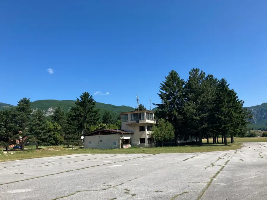
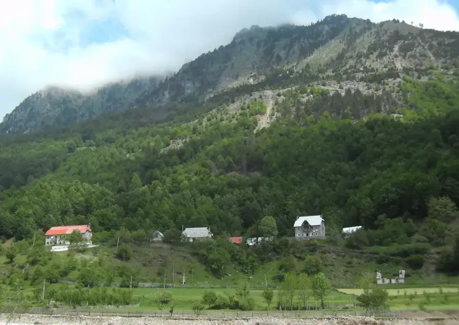
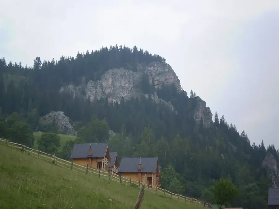
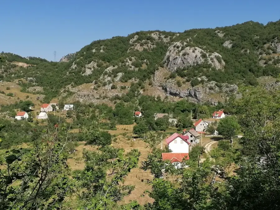
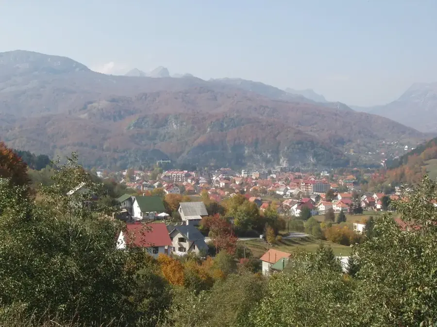
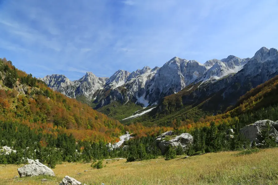
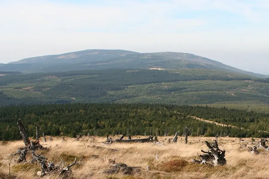
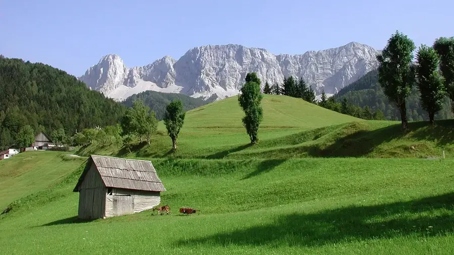
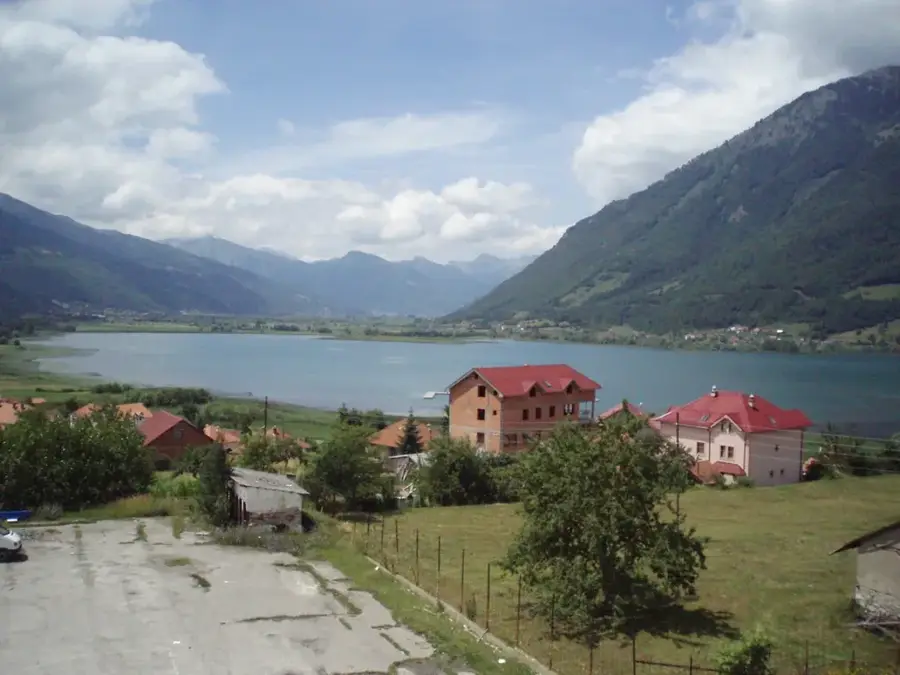
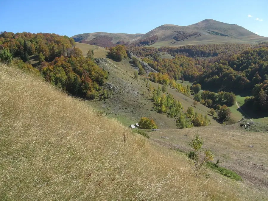
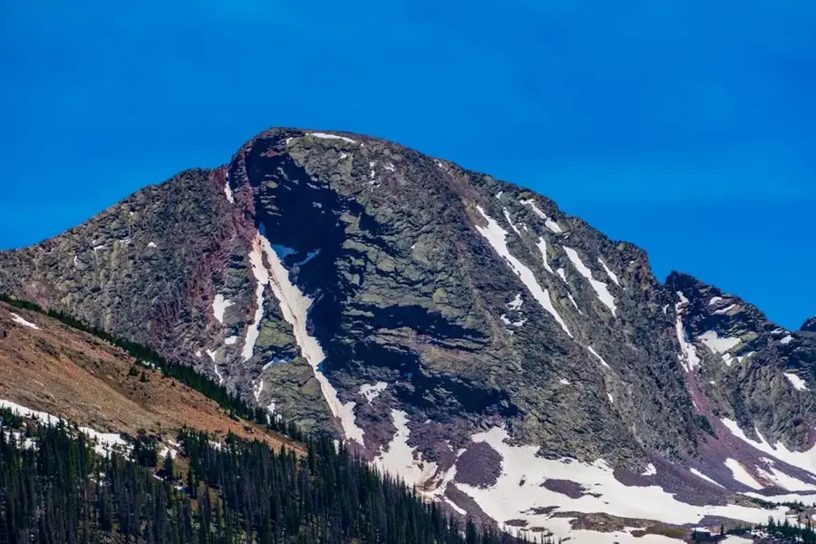
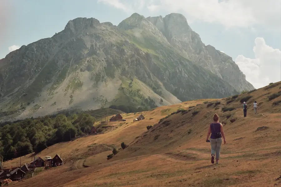
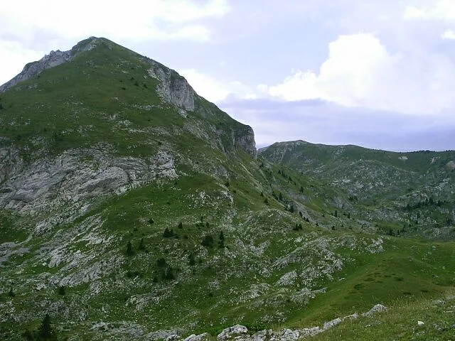
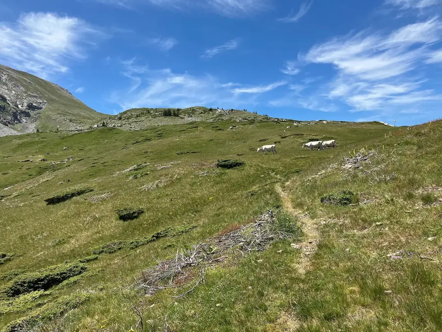
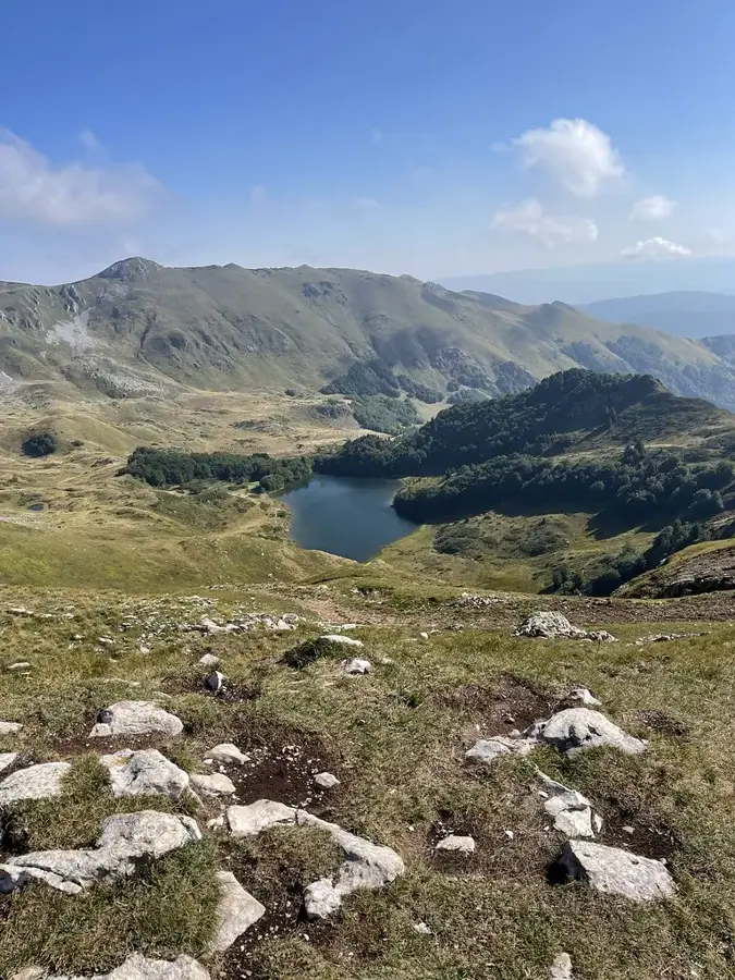
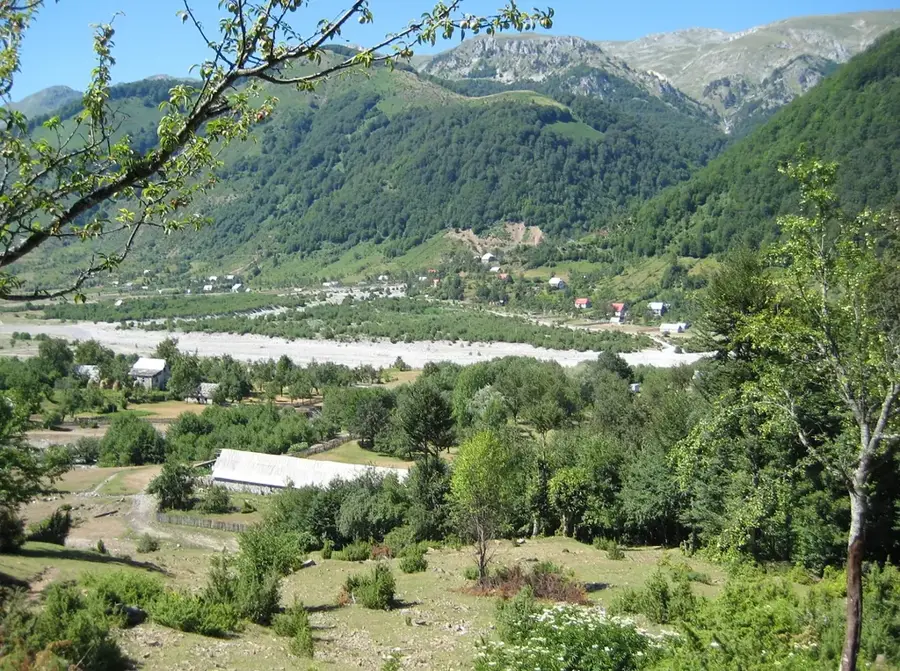
Andrijevica is a town located in northeastern Montenegro, serving as the administrative center of the municipality situated within the Lim River valley. The settlement began its organized development in the mid-19th century, specifically around 1853, following the construction of a church dedicated to Archangel Michael by Andrija Vasojević. Historically, the town is recognized as the spiritual and cultural heart of the Vasojevići clan, the largest highland tribe in Montenegro, which played a pivotal role in the nation's historical defense. Geographically, Andrijevica is strategically positioned at the confluence where the Zlorečica and Perućica rivers join the Lim, surrounded by the high peaks of the Komovi, Bjelasica, and Prokletije mountain ranges. During the expansion of the Principality of Montenegro in the late 1800s, it served as a significant administrative and military hub. Today, the town maintains its traditional mountain character, focusing on developing eco-tourism and providing access to the diverse biodiversity of the surrounding protected natural areas.
The most pleasant time to visit is Jun–Aug.
| Jan | Feb | Mar | Apr | May | Jun | Jul | Aug | Sep | Oct | Nov | Dec | |
|---|---|---|---|---|---|---|---|---|---|---|---|---|
| Avg °C | -3 | -1 | 2 | 7 | 12 | 16 | 19 | 20 | 14 | 9 | 5 | -1 |
| Rain mm | 118 | 111 | 114 | 90 | 92 | 73 | 50 | 49 | 96 | 117 | 150 | 134 |
Notable places around
Where do you start? We build the route here, with stops and country notes along the way.
© OpenStreetMap contributors · OpenRouteService
The local heritage museum in Andrijevica preserves the cultural heritage of the region.