Plizio Visual Lab
Sūduva Plain
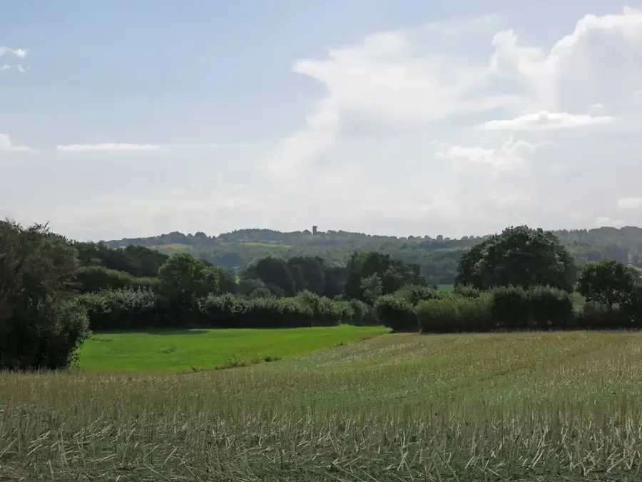
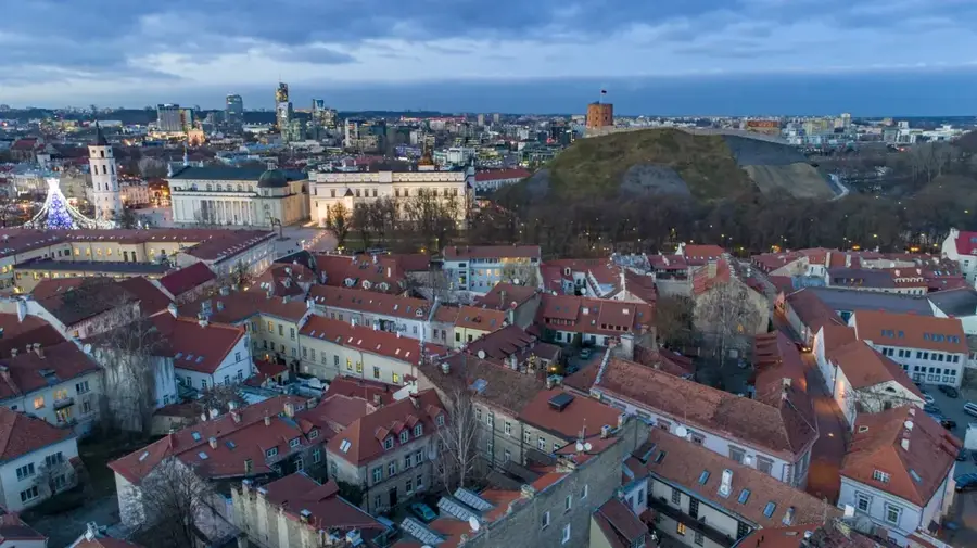
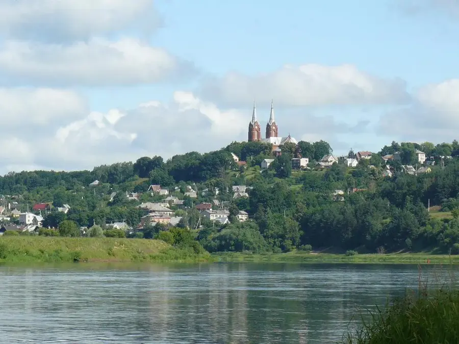
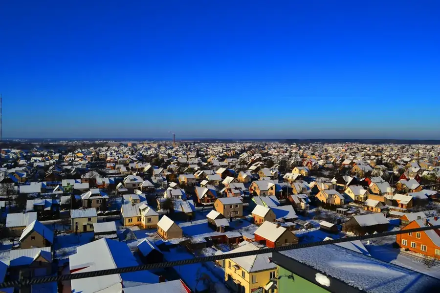
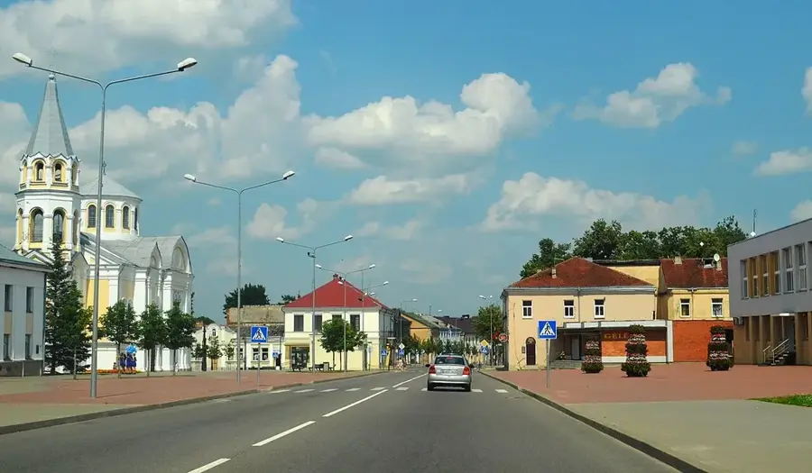
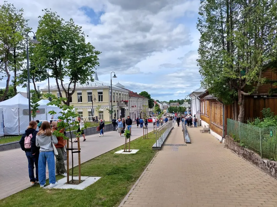
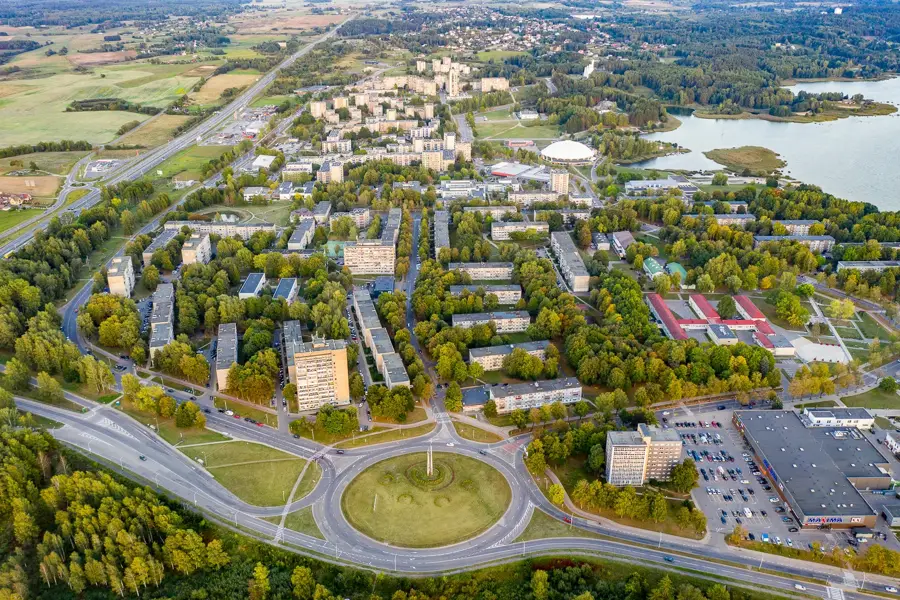
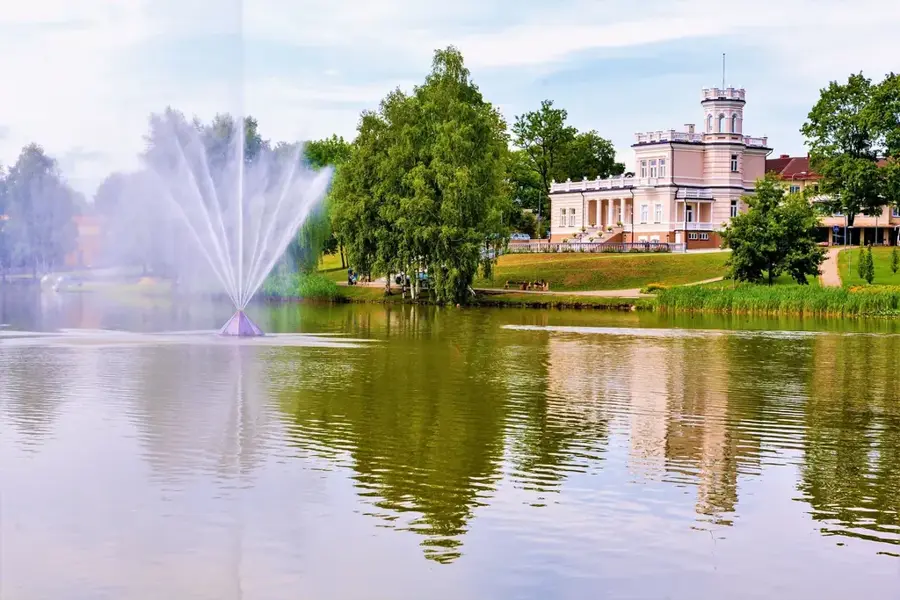
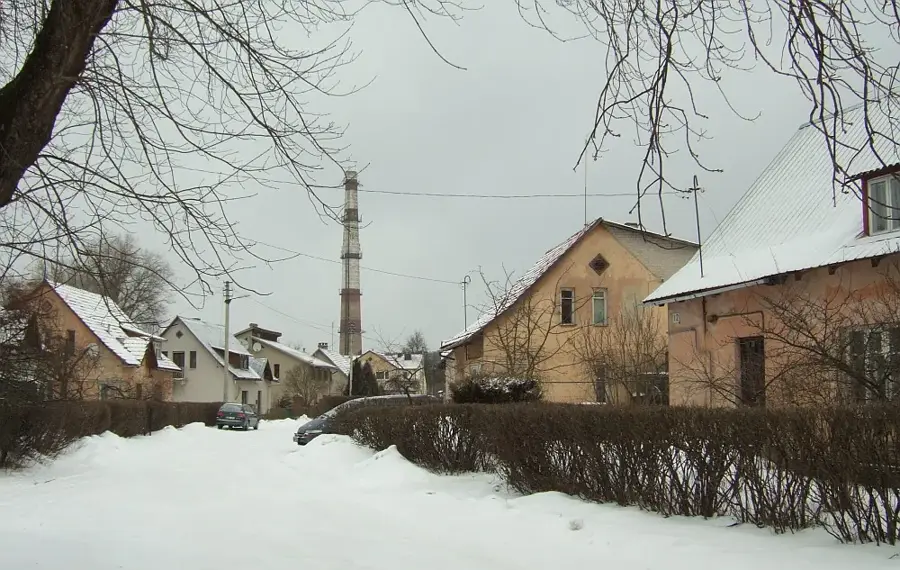
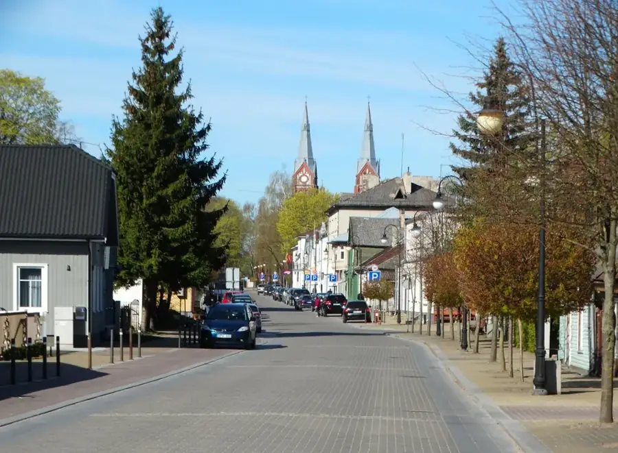
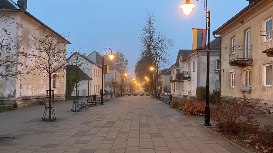
The Sūduva Plain extends across southwestern Lithuania and is considered one of the country's most fertile regions. Geologically, it is a flat accumulation plain formed at the end of the Weichselian ice age by deposits in a periglacial lake. The soils consist mostly of degraded chernozem and heavy loams, enabling intensive agricultural use. Historically, the area was the settlement center of the Sudovians, a Baltic tribe conquered by crusaders in the 13th century. Today, the region is known for its well-maintained cultural landscapes and the city of Marijampolė as its cultural hub. The plain is almost treeless and is crisscrossed by drainage canals and small rivers like the Šešupė. Climatic conditions here are somewhat milder than in the rest of Lithuania due to its southern location, which extends the growing season. The geological structure of the plain is characterized by deep-lying Cretaceous and Jurassic sediments beneath the Quaternary cover.
- Location: Lithuania
- Nearby: Kalvarija (18 km)
Best time to visit & climate
The most pleasant time to visit is Jun–Aug.
| Jan | Feb | Mar | Apr | May | Jun | Jul | Aug | Sep | Oct | Nov | Dec | |
|---|---|---|---|---|---|---|---|---|---|---|---|---|
| Avg °C | -6 | -5 | 0 | 7 | 13 | 16 | 19 | 18 | 13 | 7 | 2 | -3 |
| Rain mm | 55 | 42 | 44 | 43 | 67 | 80 | 98 | 87 | 55 | 66 | 55 | 53 |
📋 Practical info
Geography
Facts
- One of the most fertile agricultural regions in Lithuania due to rich loam soils.
- Formed at the bottom of a large periglacial lake about 14,000 years ago.
- Named after the Sudovians (Yotvingians), an ancient Baltic tribe.
- The average elevation of the plain is between 60 and 80 meters.
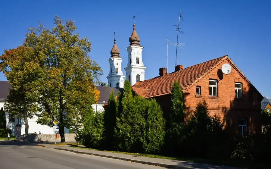
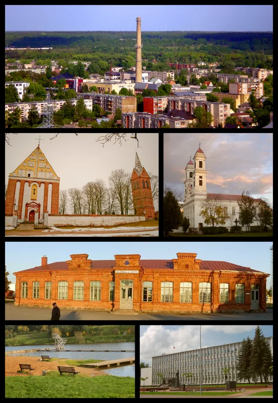
- Marijampolė is the historical and administrative center of the region.
- Crossed by the Šešupė River, which forms part of the border with Russia.
Explore nearby
Notable places around
Route planner — Car & Motorhome
Where do you start? We build the route here, with stops and country notes along the way.
© OpenStreetMap contributors · OpenRouteService
Sights in the town Sūduva Plain (1)
Sights nearby
Frequently asked questions
What characterizes the Sūduva plain?
Where is this plain located?
Which cities are located in the Sūduva plain?
Is the area flat?
What crops are grown here?
Sūduva Plain: where is it located?
Sūduva Plain: when is the best time to visit?
Sūduva Plain: why is it worth visiting?

Nearby cities


History & landmarks