Plizio Visual Lab
Šešupė Valley
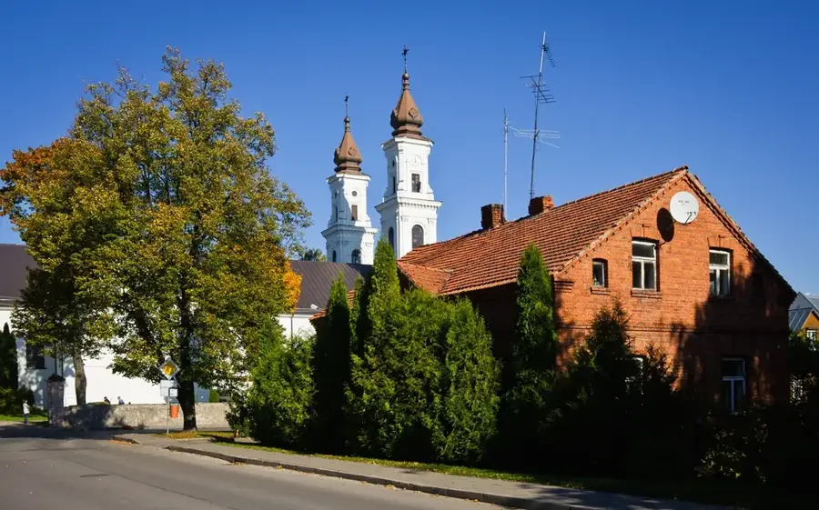
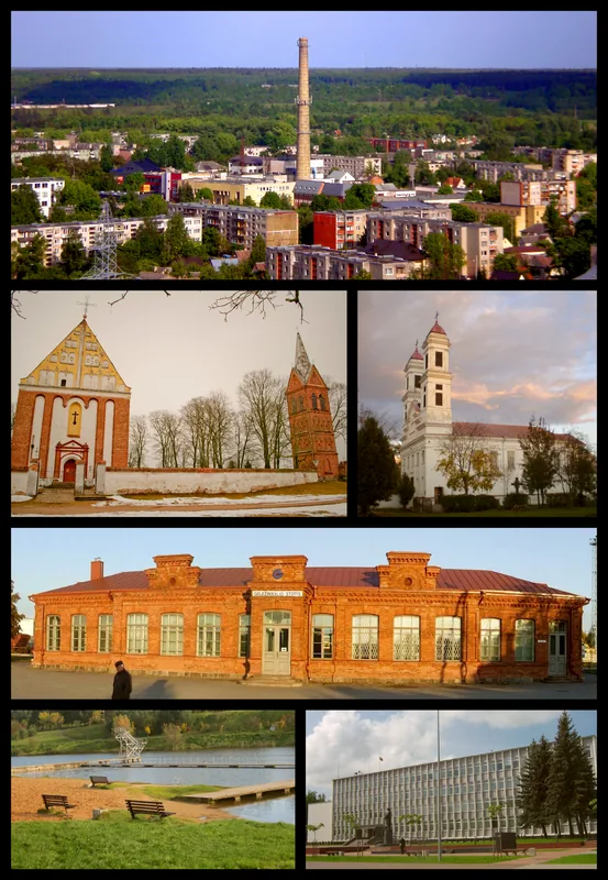
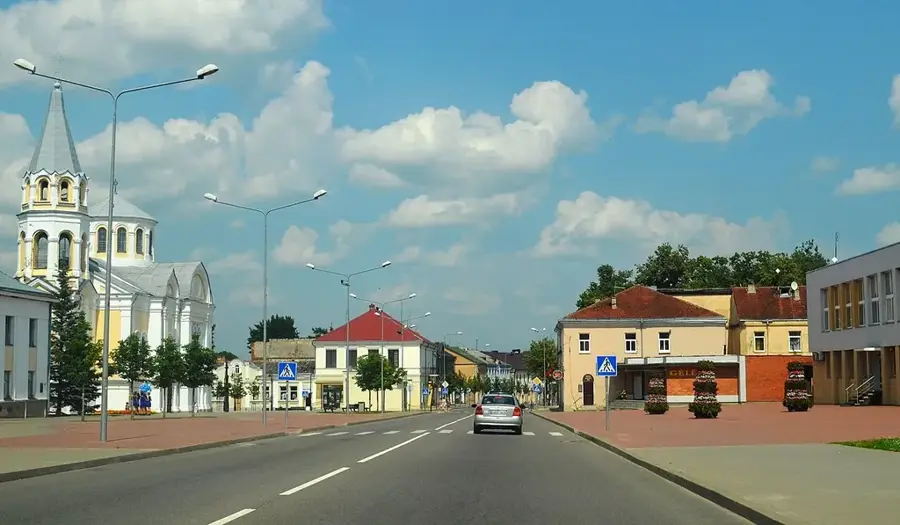
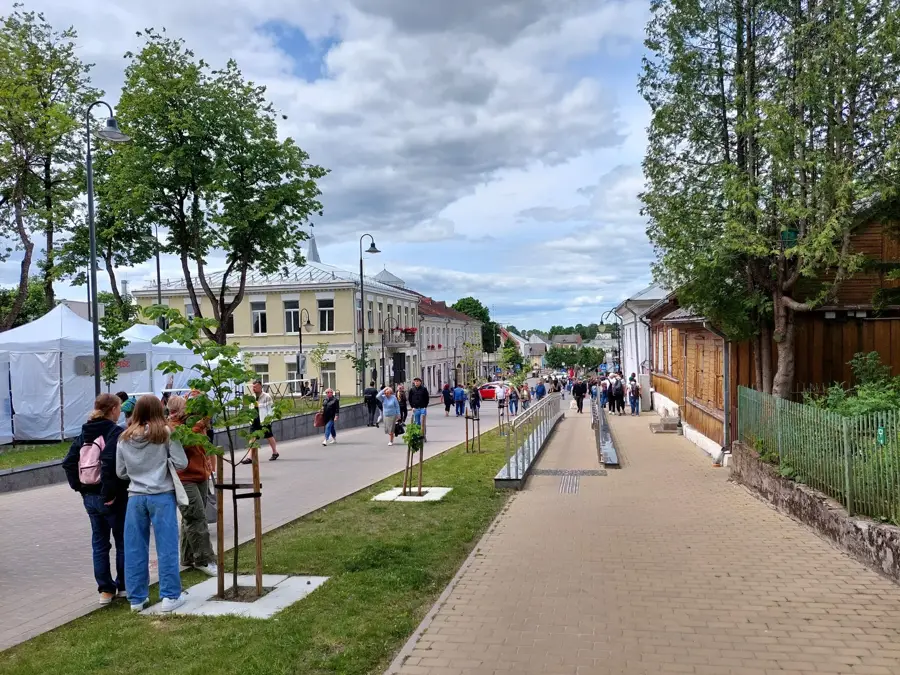
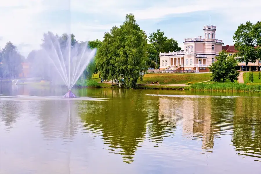
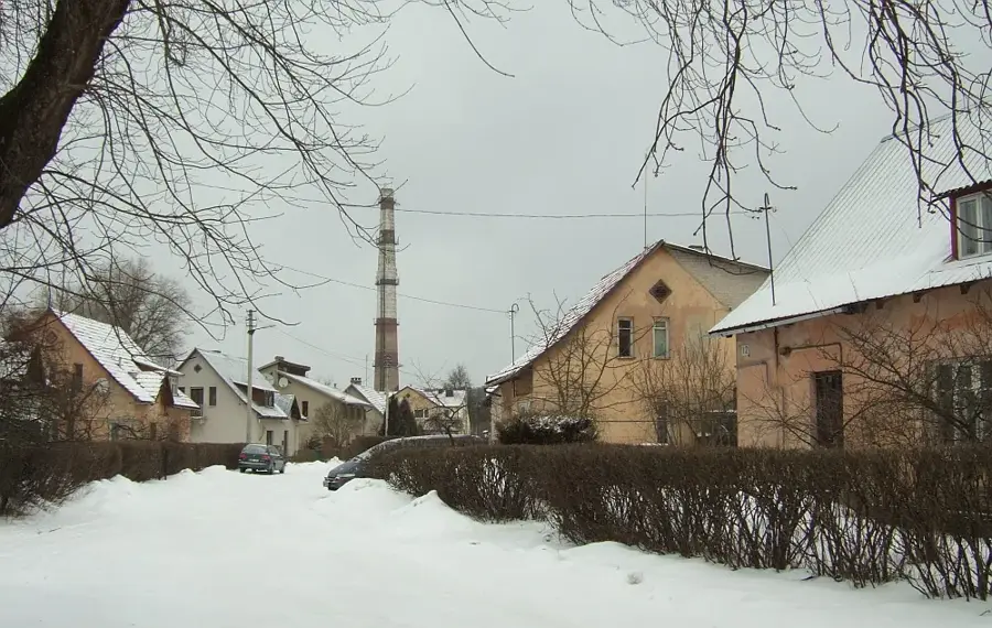
The Šešupė Valley flows through the Sūduva Plain in southwestern Lithuania and forms a long stretch of the state border with the Russian Kaliningrad Oblast. During the post-glacial period, the river carved a gentle valley into the fertile lake sediments, forming numerous meanders and oxbow lakes. The valley's floodplains are characterized by periodic flooding that deposits nutrient-rich silt, thereby maintaining soil fertility. Historically, the Šešupė Valley was an important border region and the site of numerous military conflicts between Prussia and the Grand Duchy of Lithuania. Several historical towns such as Kudirkos Naumiestis and Marijampolė are situated along the river, having benefited from the water resource. The vegetation in the valley consists of a mix of riparian forests, pastures, and intensively used agricultural land. Geomorphologically, the valley is a classic example of a river flowing in a loose sedimentary plain with a low gradient.
- Location: Lithuania
- Nearby: Kalvarija (18 km)
Best time to visit & climate
The most pleasant time to visit is Jun–Aug.
| Jan | Feb | Mar | Apr | May | Jun | Jul | Aug | Sep | Oct | Nov | Dec | |
|---|---|---|---|---|---|---|---|---|---|---|---|---|
| Avg °C | -6 | -5 | 0 | 7 | 13 | 16 | 19 | 18 | 13 | 7 | 2 | -3 |
| Rain mm | 55 | 42 | 44 | 43 | 67 | 80 | 98 | 87 | 55 | 66 | 55 | 53 |
📋 Practical info
Geography
Facts
- The Šešupė River is 298 kilometers long, with 209 kilometers in Lithuania.
- Serves as a natural border between Lithuania and the Kaliningrad Oblast.
- Known for its meandering path and fertile alluvial floodplains.
- The river originates in Poland and flows into the Nemunas River.
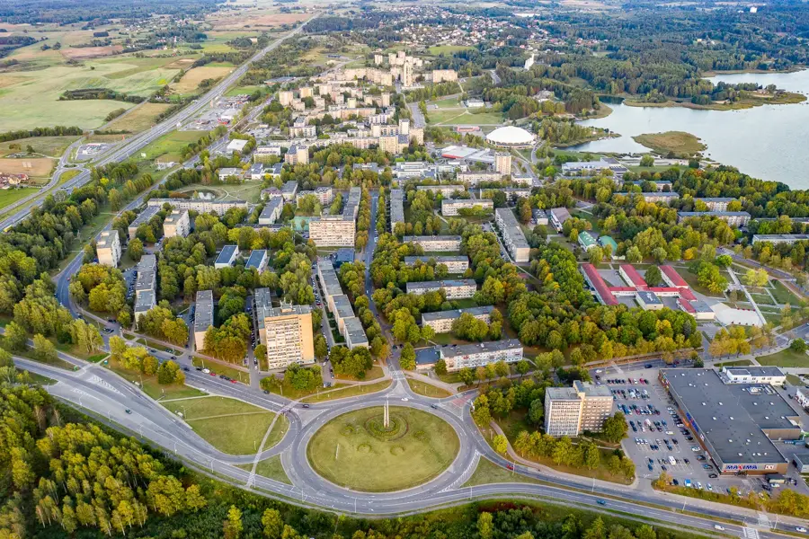
- Marijampolė, the capital of Sūduva, is situated on the banks of the Šešupė.
- The valley was formed during the Holocene epoch by fluvial erosion.
Explore nearby
Notable places around
Route planner — Car & Motorhome
Where do you start? We build the route here, with stops and country notes along the way.
© OpenStreetMap contributors · OpenRouteService
Sights in the town Šešupė Valley (1)
Sights nearby
Frequently asked questions
Where does the Šešupė river flow?
What does the valley offer for tourists?
Which city is located on the banks of the Šešupė?
Are there historical sites in the valley?
Is the Šešupė river navigable?
Šešupė Valley: where is it located?
Šešupė Valley: when is the best time to visit?
Šešupė Valley: why is it worth visiting?

Nearby cities


History & landmarks