Plizio Visual Lab
Kalvarija Plain
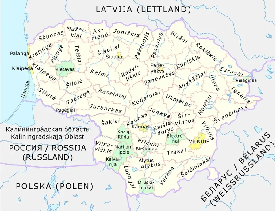
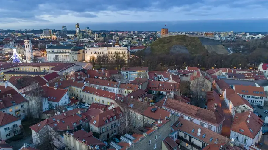
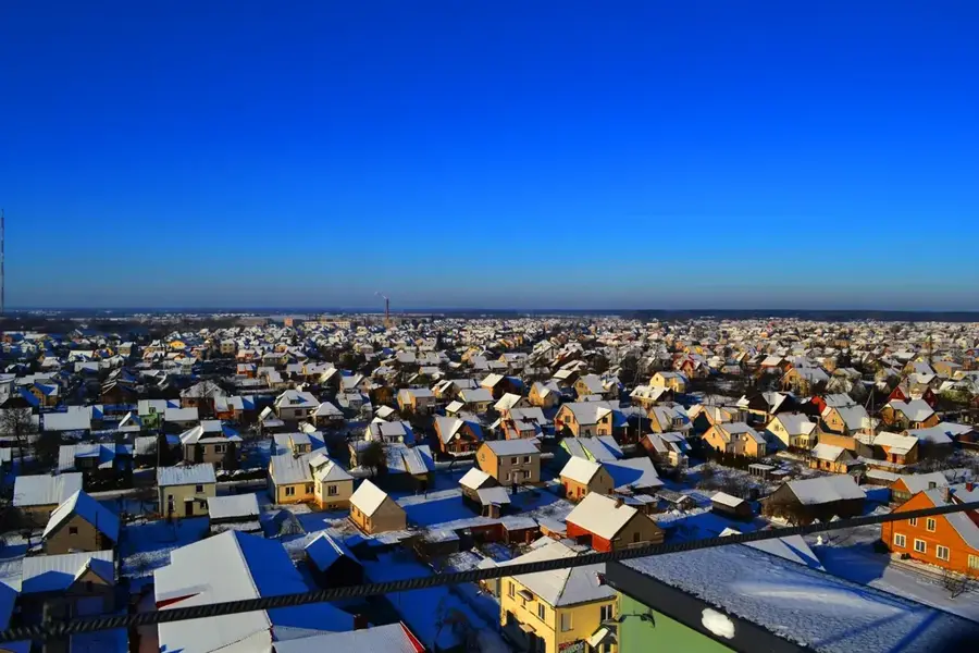
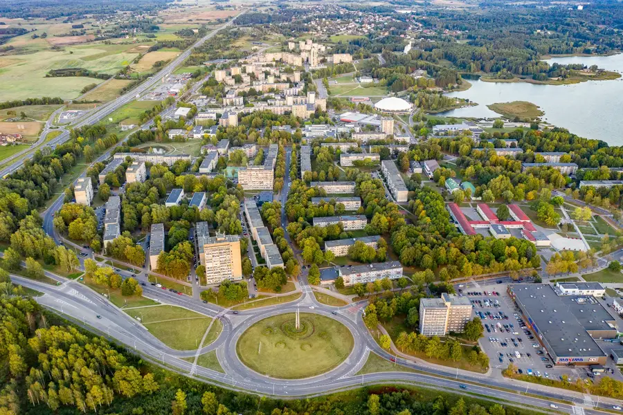
The Kalvarija Plain is an extensive lowland located in southwestern Lithuania, belonging to the historical region of Sūduva. It is characterized by its gently undulating topography and highly fertile soils, which make it one of the most important agricultural regions in the country. The plain was formed by deposits from the last ice age, where silt and clay created a level surface over large areas. The Šešupė River flows through the region, providing natural drainage and creating fertile floodplain meadows. Due to its proximity to the Polish border, the plain has historically been a significant trade and transit route between the Baltic States and Central Europe. The landscape is dominated by vast fields, small groves, and traditional Lithuanian farmsteads. Geomorphologically, the Kalvarija Plain has an interesting contrast to the hilly end-moraine landscapes found in other parts of Lithuania.
- Location: Lithuania
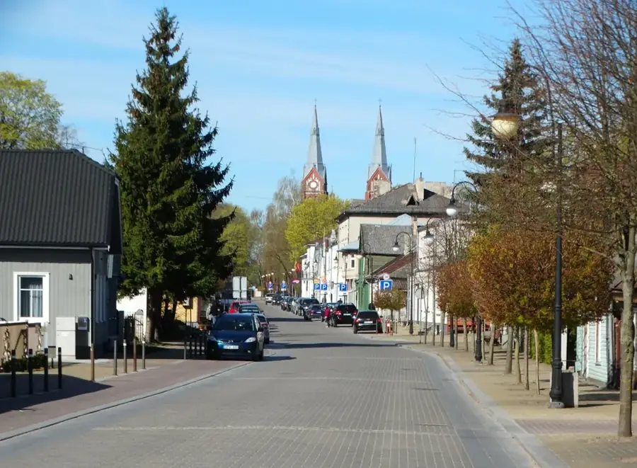
- Top sights: Kalvarijos Švč. Mergelės Marijos Vardo bažnyčia · Titnagas · Kalvarijos sinagogų kompleksas
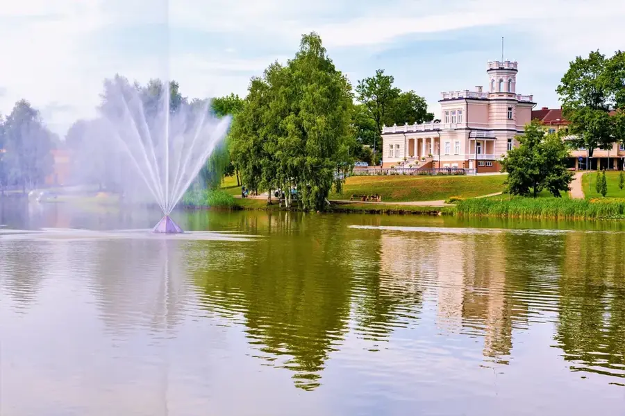
- Nearby: Marijampolė (20 km)
Best time to visit & climate
The most pleasant time to visit is Jun–Aug.
| Jan | Feb | Mar | Apr | May | Jun | Jul | Aug | Sep | Oct | Nov | Dec | |
|---|---|---|---|---|---|---|---|---|---|---|---|---|
| Avg °C | -5 | -4 | 0 | 7 | 13 | 16 | 18 | 18 | 13 | 7 | 2 | -2 |
| Rain mm | 55 | 42 | 44 | 41 | 67 | 81 | 100 | 88 | 58 | 65 | 55 | 52 |
📋 Practical info
Geography
Facts
- The plain lies at an average altitude of 80 to 100 meters above sea level.
- The soil is primarily composed of fertile glacial till and loamy deposits.
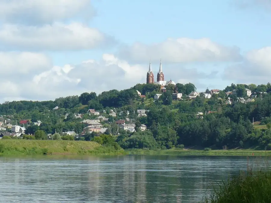
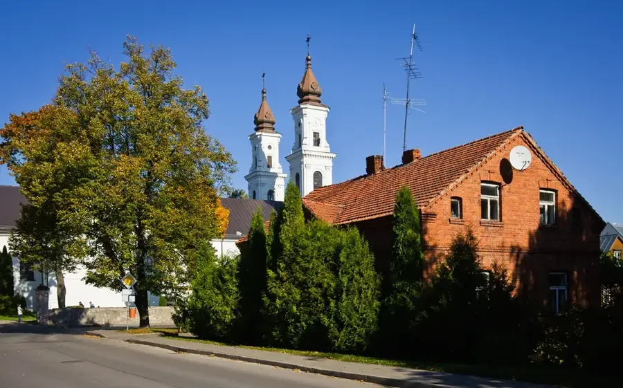
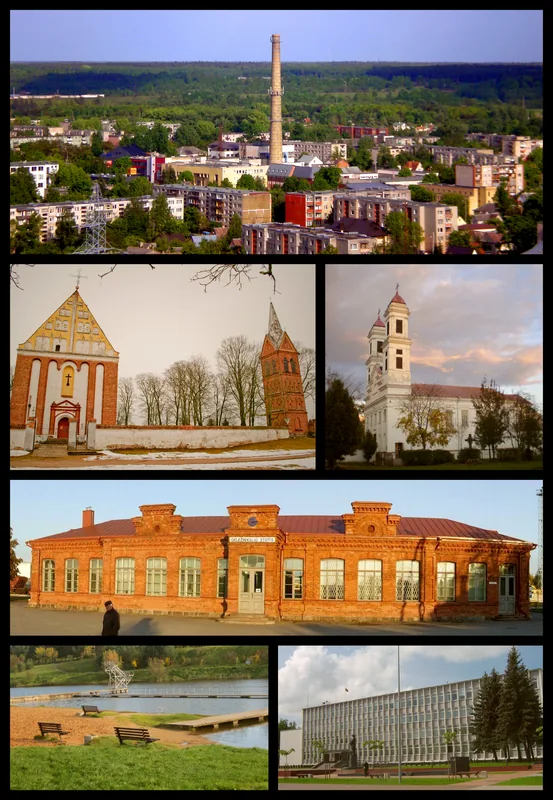
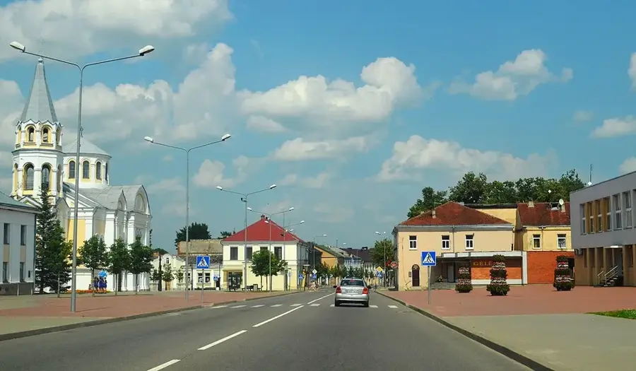
- The town of Kalvarija, which gives the plain its name, was established in 1667.
- The Šešupė River serves as the primary drainage system for the entire plain.
- The region is known for its high yields of wheat and sugar beets.
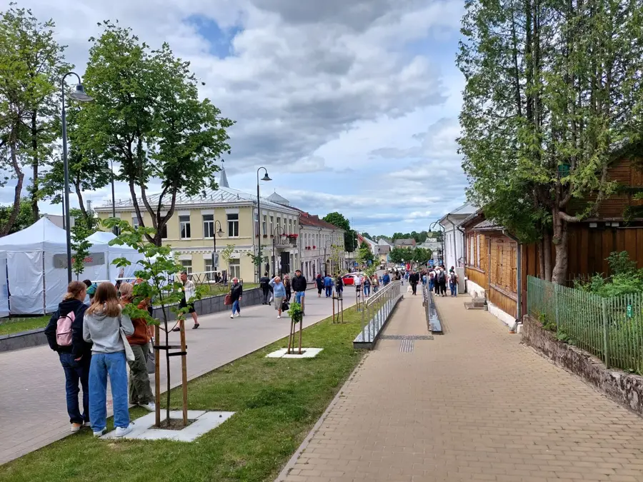
- The Kalvarija Plain has historically been a gateway for cultural exchange with Poland.
Explore nearby
Notable places around
Route planner — Car & Motorhome
Where do you start? We build the route here, with stops and country notes along the way.
© OpenStreetMap contributors · OpenRouteService
Sights in the town Kalvarija Plain (6)
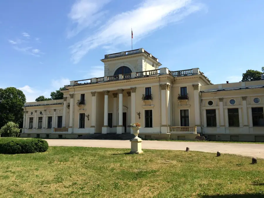
Kalvarijos dvaro sodybos fragmentai
Remains of the Kalvarija manor, fragments of the historic homestead.
Spūskai
Beach in Kalvarija, a spot for swimming and relaxation by the water.
Sights nearby
Frequently asked questions
What characterizes the Kalvarija Plain?
Is it located near the border?
Which town is its namesake?
Is the area very forested?
Are there many hills there?
Kalvarija Plain: where is it located?
Kalvarija Plain: what is there to see?
Kalvarija Plain: when is the best time to visit?
Kalvarija Plain: why is it worth visiting?

Nearby cities


History & landmarks