Plizio Visual Lab
Linkuva Ridge

Weather…
Water temperature…
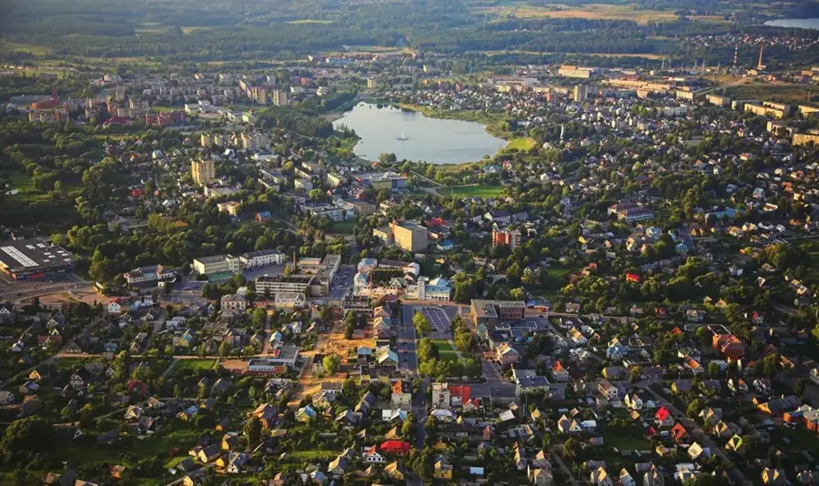
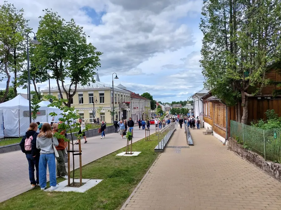
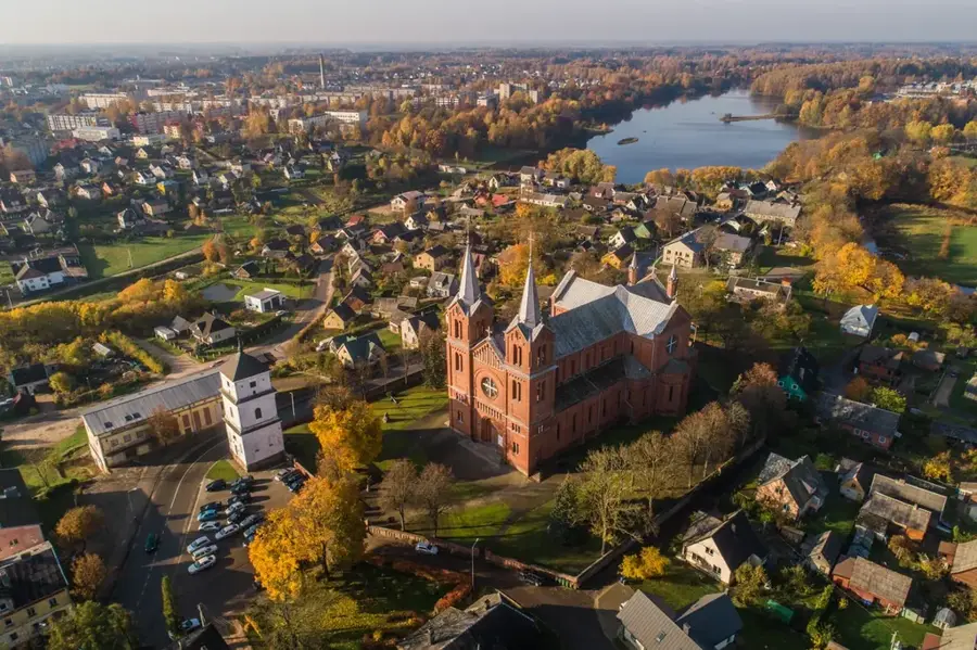
The Linkuva Ridge is a highly prominent and elongated moraine ridge that runs like a massive backbone through the flat landscape of northern Lithuania. This imposing geological elevation was formed during the late stages of the Nemunas glaciation when massive advancing glaciers pushed enormous amounts of rock, clay, and sand ahead of them, piling them up at their margins. The ridge rises sharply and distinctly above the otherwise flat, adjacent agricultural plains, reaching heights of up to 100 meters above sea level. The Linkuva Ridge is of significant importance not only geologically but also historically, as its elevated, drier position made it a handy settlement location even in prehistoric times. Today, its fertile slopes are subjected to intensive agricultural use, while the steeper sections are frequently crowned by dense broadleaf forests.
- Location: Lithuania
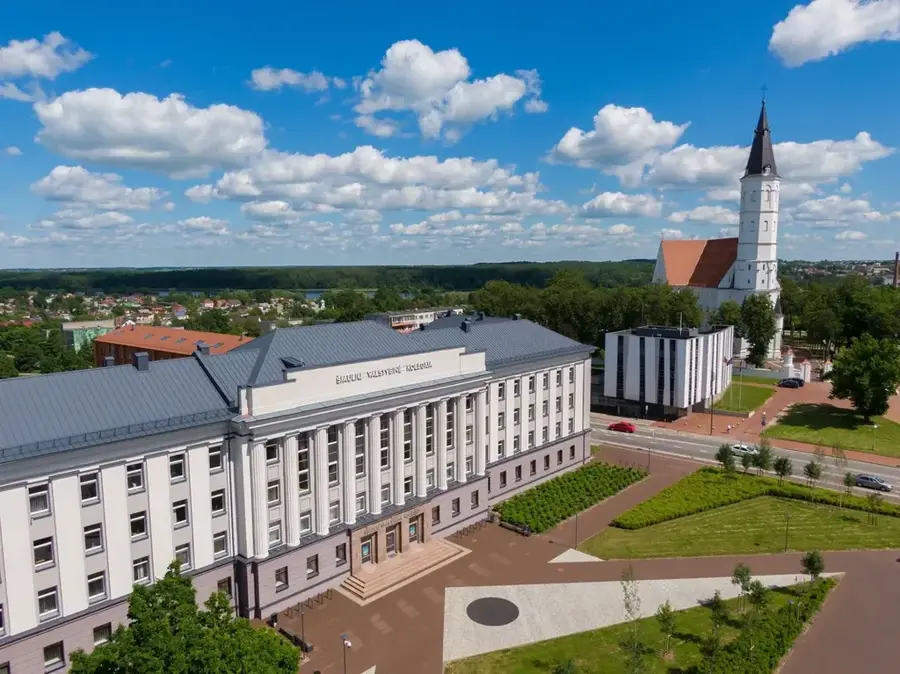
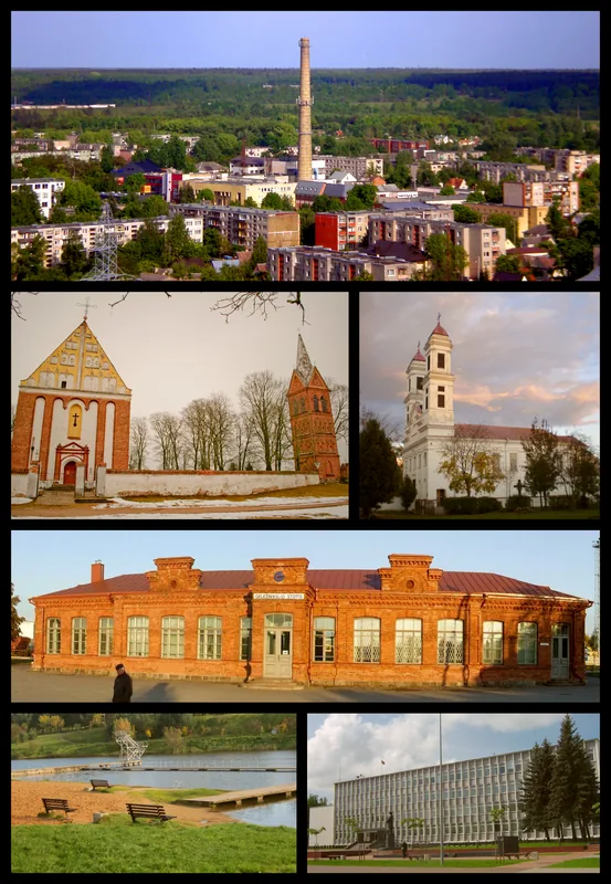
- Nearby: Joniškėlis (9 km)
Best time to visit & climate
The most pleasant time to visit is Jun–Aug.
| Jan | Feb | Mar | Apr | May | Jun | Jul | Aug | Sep | Oct | Nov | Dec | |
|---|---|---|---|---|---|---|---|---|---|---|---|---|
| Avg °C | -6 | -5 | 0 | 6 | 12 | 15 | 18 | 17 | 12 | 6 | 2 | -3 |
| Rain mm | 50 | 40 | 41 | 43 | 57 | 76 | 86 | 78 | 54 | 65 | 62 | 52 |
📋 Practical info
Geography
Explore nearby
Notable places around
Route planner — Car & Motorhome
Where do you start? We build the route here, with stops and country notes along the way.
© OpenStreetMap contributors · OpenRouteService
Sights nearby
Frequently asked questions
Where is the Linkuva Ridge located?
What is its geological significance?
Does the ridge offer good views?
Is there agricultural use there?
Can the place be visited in winter?
Linkuva Ridge: where is it located?
Linkuva Ridge: when is the best time to visit?
Linkuva Ridge: why is it worth visiting?

Nearby cities