Plizio Visual Lab
Mūša-Nemunėlis Lowland

Weather…
Water temperature…
The Mūša-Nemunėlis Lowland stretches across northern Lithuania, directly bordering neighboring Latvia. This expansive plain was formed from glacial fluvial sediments and is characterized by extremely fertile, loamy clay soils, making it one of the country's most highly productive agricultural zones. However, what makes this lowland particularly fascinating and unique geologically is its underlying bedrock of highly soluble gypsum and limestone. Especially in the region surrounding the town of Biržai, the constant dissolution of these rocks by groundwater leads to the continuous formation of hundreds of active karst dolines and spectacular sinkholes, which often open up suddenly and sometimes fill with water to form small, perfectly circular lakes. This active karst landscape attracts geologists and curious nature enthusiasts alike. The plain is steadily drained by the Mūša and Nemunėlis rivers towards the Lielupe basin.
- Location: Lithuania
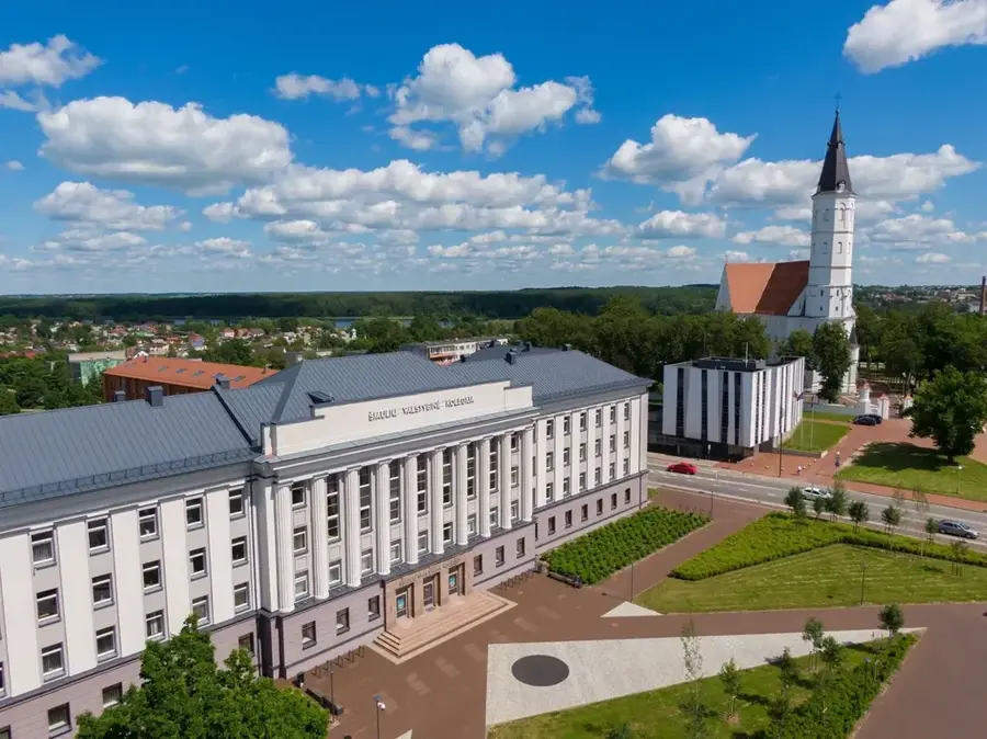
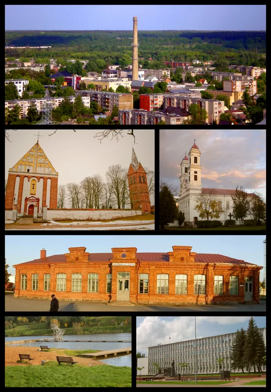
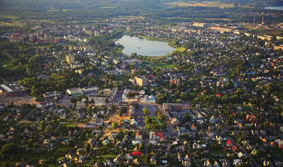
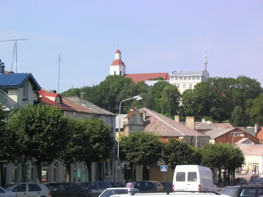
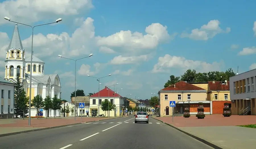
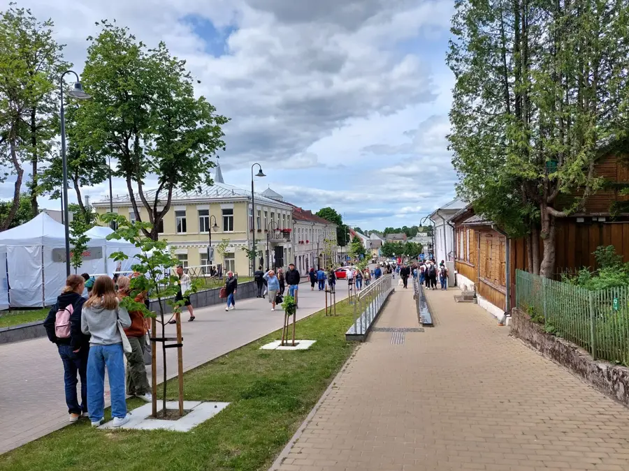
- Nearby: Pabiržė (12 km)
Best time to visit & climate
The most pleasant time to visit is Jun–Aug.
| Jan | Feb | Mar | Apr | May | Jun | Jul | Aug | Sep | Oct | Nov | Dec | |
|---|---|---|---|---|---|---|---|---|---|---|---|---|
| Avg °C | -6 | -5 | -1 | 6 | 12 | 16 | 18 | 17 | 12 | 6 | 2 | -3 |
| Rain mm | 53 | 44 | 44 | 47 | 60 | 79 | 90 | 82 | 57 | 68 | 64 | 56 |
📋 Practical info
Geography
Explore nearby
Notable places around
Route planner — Car & Motorhome
Where do you start? We build the route here, with stops and country notes along the way.
© OpenStreetMap contributors · OpenRouteService
Sights nearby
Frequently asked questions
What is special about this region?
Where is this lowland located?
Can one visit the sinkholes?
Which rivers flow here?
What is the Cow's Cave?
Mūša-Nemunėlis Lowland: where is it located?
Mūša-Nemunėlis Lowland: when is the best time to visit?
Mūša-Nemunėlis Lowland: why is it worth visiting?

Nearby cities