Plizio Visual Lab
Linkuva Hill Ridge
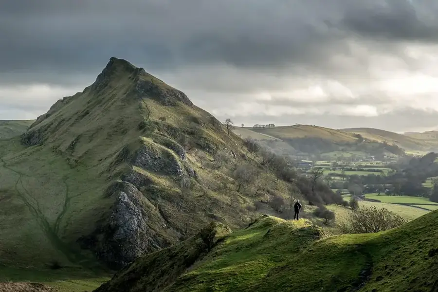
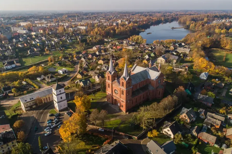
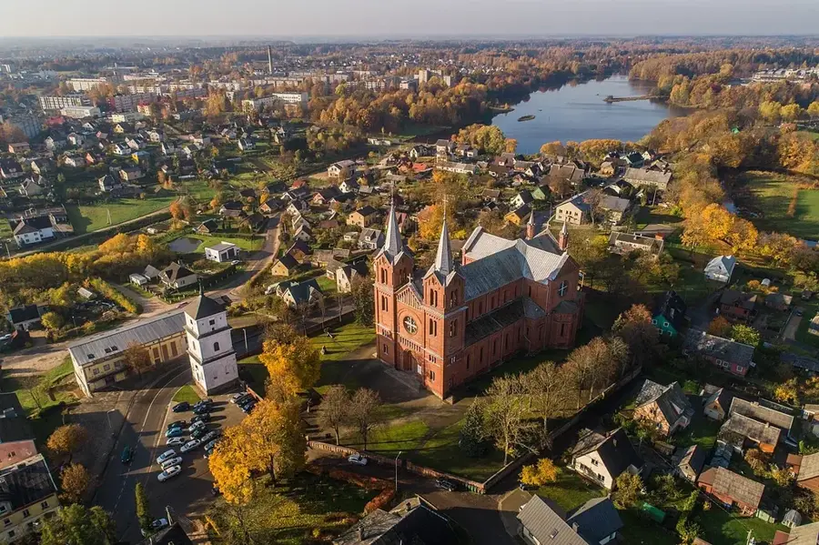
The Linkuva Hill Ridge is a prominent terminal moraine in northern Lithuania, stretching in an arc-like shape over several kilometers. It was formed during the glacial retreat phase approximately 12,000 to 13,000 years ago, when sediment masses accumulated at the glacier front. With a maximum height of around 100 meters above sea level, the ridge forms a natural watershed between the drainage basins of the Mūša and Nemunėlis rivers. The landscape is characterized by gentle hills and depressions, where small bogs or ponds have often formed. Geologically, the Linkuva ridge consists predominantly of glacial till, gravel, and sand, which influences the local soil properties. Due to its elevated position, the ridge features wide views over the surrounding North Lithuanian plains. The region is of great importance for understanding glacial dynamics in the Baltic and hosts specific plant communities on its calcareous soils.
- Location: Lithuania
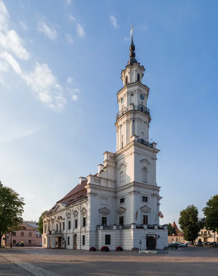
- Top sights: Tričių piliakalnis · Linkuvos karmelitų vienuolynas · Piemenėlių ąžuolas
- Nearby: Joniškėlis (14 km)
Best time to visit & climate
The most pleasant time to visit is Jun–Aug.
| Jan | Feb | Mar | Apr | May | Jun | Jul | Aug | Sep | Oct | Nov | Dec | |
|---|---|---|---|---|---|---|---|---|---|---|---|---|
| Avg °C | -6 | -5 | 0 | 6 | 12 | 15 | 18 | 17 | 12 | 6 | 2 | -3 |
| Rain mm | 50 | 40 | 41 | 43 | 57 | 76 | 86 | 78 | 54 | 65 | 62 | 52 |
📋 Practical info
Geography
Facts
- Formed as a terminal moraine during the last glacial retreat.
- Located in northern Lithuania, separating the Mūša and Nemunėlis basins.
- Maximum elevation reaches approximately 100 meters above sea level.
- Composed mainly of glacial till, sand, and gravel deposits.
- The ridge is about 30 kilometers long in its core section.
- Serves as a significant geomorphological boundary in the North Lithuanian Lowland.
Explore nearby
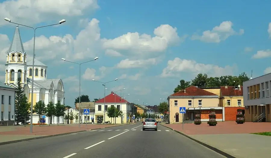
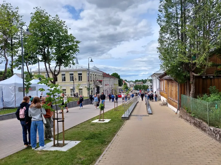
Notable places around
Route planner — Car & Motorhome
Where do you start? We build the route here, with stops and country notes along the way.
© OpenStreetMap contributors · OpenRouteService
Sights in the town Linkuva Hill Ridge (5)
Sights nearby
Frequently asked questions
How was the Linkuva ridge formed?
How high is this ridge?
Where exactly is the ridge located?
Are there marked hiking trails?
What is the best time to visit?
Linkuva Hill Ridge: where is it located?
Linkuva Hill Ridge: what is there to see?
Linkuva Hill Ridge: when is the best time to visit?
Linkuva Hill Ridge: why is it worth visiting?

Nearby cities