Plizio Visual Lab
Linakaneng

ℹ️Practical info — Linakaneng
▾
🌤 Weather — 5 days
📍 Nearby
Sights nearby
💡 Tips
- Winters here are intensely cold with frequent snow; bring extreme cold-weather gear if visiting between June and August.
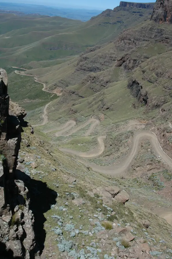
- The rugged terrain makes this a great base for serious trekking, but always hire a local guide for safety.
- Respect the local herders and their livestock; always ask for permission before taking close-up photographs of them or their animals.
- Road access can be completely blocked by snow or mud; a reliable 4x4 and a flexible itinerary are must-haves.
🍽 Food
Start your freezing mornings with a steaming bowl of thick maize porridge, a local energy booster.
In season, you'll find locals roasting whole ears of corn on open fires, a simple, warming street snack.
🛍 Shopping · 🧘 Quiet spots
Mokhotlong district is famous for its Angora goats; look for locally spun mohair yarn or simple knitted items.
Local herders often use beautifully carved wooden sticks (molamu), which can sometimes be purchased directly from them.
In winter, carefully walk up a nearby ridge to witness the absolute silence of the snow-covered mountain peaks.
Follow one of the many winding footpaths used by herders to find total isolation and pristine mountain air.
Water temperature…
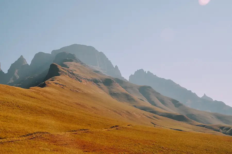
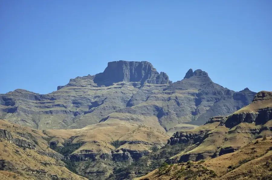
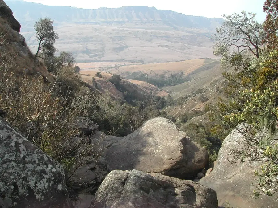
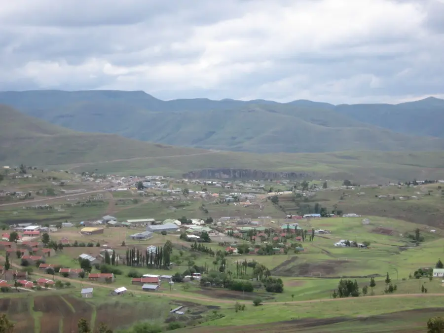
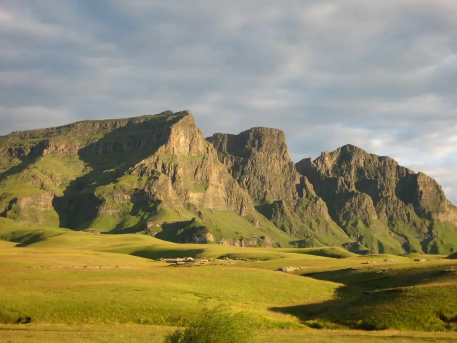
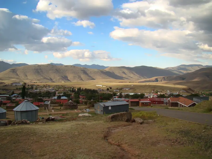
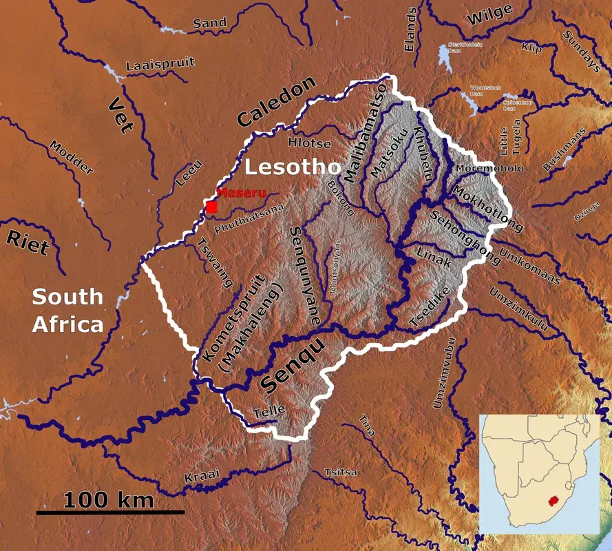
Linakaneng is a remote mountain settlement in the Mokhotlong District, situated in one of the coldest and highest regions of Lesotho. The village lies at an elevation of approximately 2,200 meters, surrounded by the majestic peaks of the Maloti Mountains, which often remain snow-capped well into the spring. The community serves as a prime example of Basotho pastoral culture, with livestock farming forming the backbone of the local economy. High-quality wool and mohair are produced here, representing essential export commodities for the kingdom. Linakaneng is defined by its traditional circular stone huts, known as rondavels, which are meticulously adapted to withstand the extreme highland climate. Due to its significant isolation, the village is reachable only via challenging mountain tracks, a factor that has helped preserve its original traditions and social fabric. The landscape surrounding Linakaneng features sweeping vistas of pristine alpine meadows and crystal-clear mountain streams that feed into the Senqu River system. For adventurers, the area provides a rare chance to experience the profound silence and grandeur of Africa's high-altitude wilderness, far removed from modern urban life.
- Location: Lesotho
- Nearby: Mokhotlong (14 km)
Best time to visit & climate
The most pleasant time to visit is Sep–Nov.
| Jan | Feb | Mar | Apr | May | Jun | Jul | Aug | Sep | Oct | Nov | Dec | |
|---|---|---|---|---|---|---|---|---|---|---|---|---|
| Avg °C | 15 | 15 | 13 | 9 | 6 | 3 | 3 | 5 | 9 | 12 | 14 | 15 |
| Rain mm | 216 | 182 | 119 | 67 | 17 | 12 | 12 | 22 | 30 | 81 | 115 | 176 |
Geography
Facts
- Located in the Mokhotlong District at 2,200 meters elevation.
- Renowned for producing high-quality mohair wool.
- Winter temperatures frequently drop well below freezing.
- Traditional rondavels characterize the village architecture.
- Major hub for Merino sheep farming in the highlands.
- The settlement is only safely accessible via 4x4 vehicles.
Explore nearby
Notable places around
Route planner — Car & Motorhome
Where do you start? We build the route here, with stops and country notes along the way.
© OpenStreetMap contributors · OpenRouteService
Frequently asked questions
Where is Linakaneng located?
What is the climate like in Linakaneng?
Can Linakaneng be reached by car?
What is the main occupation of the residents?
Is there any tourist infrastructure?
Linakaneng: where is it located?
Linakaneng: when is the best time to visit?
Linakaneng: why is it worth visiting?

Nearby cities


History & landmarks
Nature
More places