Plizio Visual Lab
Hlotse

ℹ️Practical info — Hlotse
▾
🌤 Weather — 5 days
📍 Nearby
Sights nearby
💡 Tips
- Hire a local guide to find the Subeng River dinosaur footprints, located just outside of town.
- Winter months (June-August) can be freezing, so pack warm clothing if visiting then.
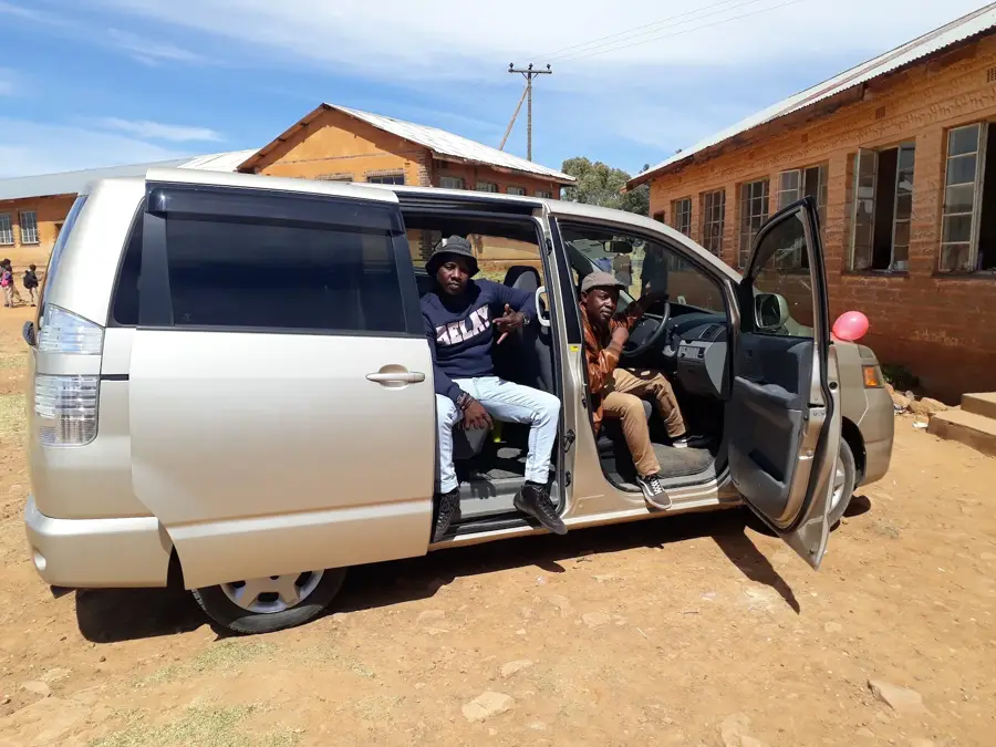
- Minibus taxis are the main form of transport; verify your destination with the driver before boarding.
- The Leribe Craft Centre is the best place for high-quality mohair souvenirs.
🍽 Food
The staple maize porridge served with locally grown leafy greens, found in any local diner.
Grilled meats, a popular weekend staple at local butcheries or street food stands.
A traditional fermented sorghum porridge, offering a unique sour taste.
🛍 Shopping · 🧘 Quiet spots
Famous for hand-spun and woven mohair products, including scarves and blankets.
Buy traditional Basotho hats (mokorotlo) and fresh mountain vegetables.
A quiet spot for a stroll or a picnic just outside the bustling town center.
The area around the craft center is usually calm and pleasant.
Water temperature…
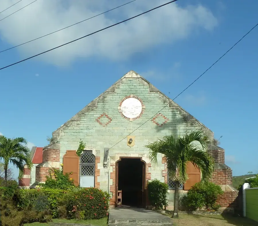
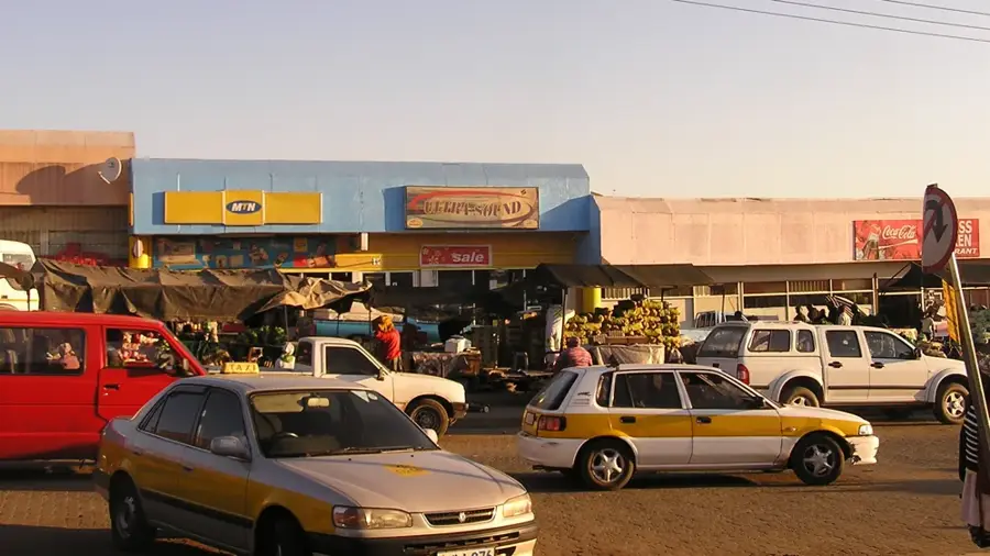
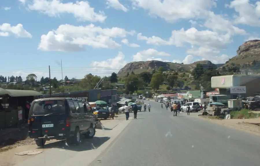
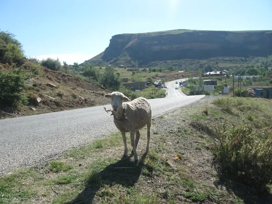
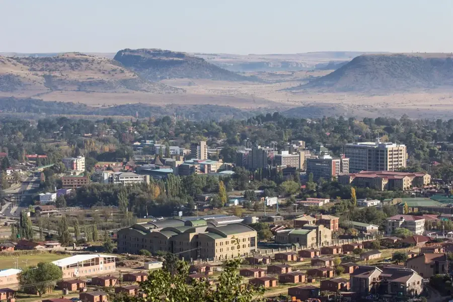
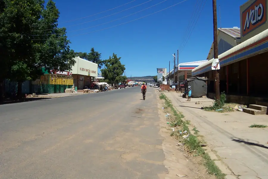
Hlotse, also widely known as Leribe, is the administrative capital of the Leribe District in northern Lesotho. The town was founded in 1876 by the Anglican missionary John Widdicombe and quickly became a key British colonial administrative post. Geographically, Hlotse is situated on a plateau overlooking the Hlotse River, near the border with South Africa's Free State province. The town is notable for its well-preserved colonial-era architecture, including the remains of an old British fort. Today, it serves as a major commercial and educational hub for the northern region of Lesotho, featuring numerous schools and a bustling marketplace. The local economy is driven by trade, agriculture, and a thriving craft industry, particularly mohair products. Located on the main highway connecting the north to the capital, Maseru, it is a vital transport junction. Nearby, the Subeng River dinosaur footprints offer a unique paleontological attraction, adding to the town's significance as a regional cultural and scientific center.
- Location: Lesotho
- Nearby: Khabo's (10 km)
- Population: ~43.967 (2026)
Best time to visit & climate
The most pleasant time to visit is Jan–Mar.
| Jan | Feb | Mar | Apr | May | Jun | Jul | Aug | Sep | Oct | Nov | Dec | |
|---|---|---|---|---|---|---|---|---|---|---|---|---|
| Avg °C | 20 | 19 | 17 | 13 | 10 | 7 | 7 | 9 | 13 | 16 | 17 | 19 |
| Rain mm | 115 | 94 | 80 | 54 | 17 | 18 | 8 | 21 | 22 | 65 | 95 | 112 |
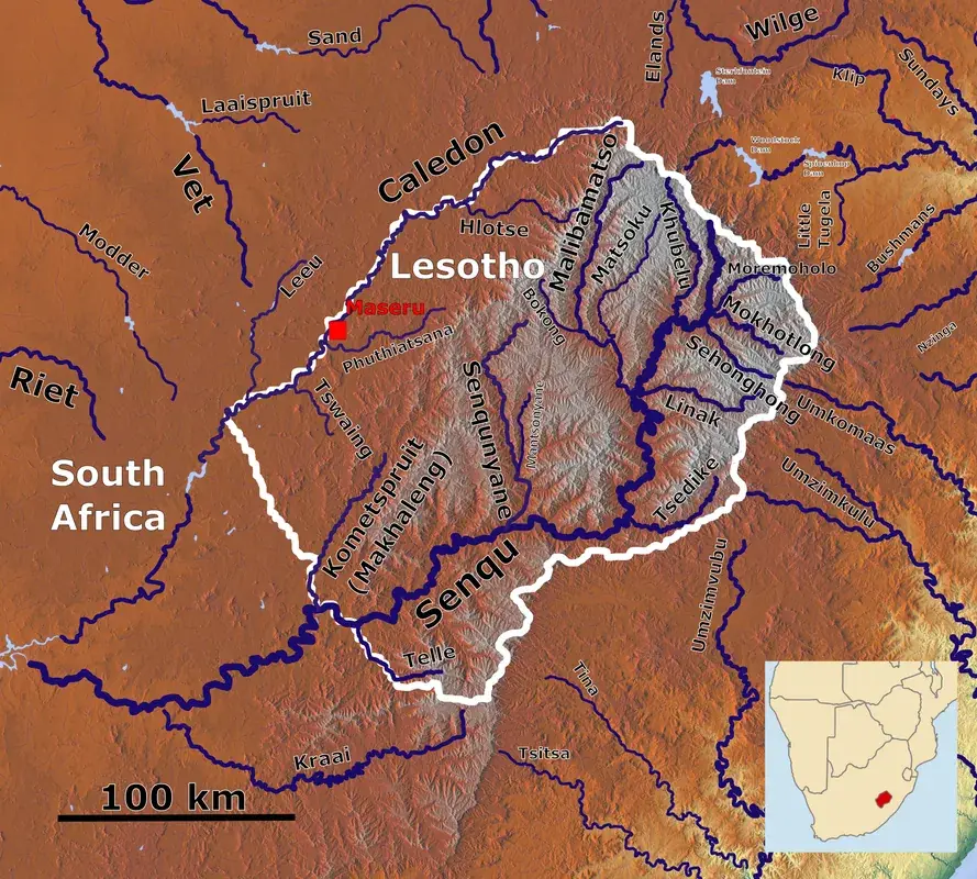
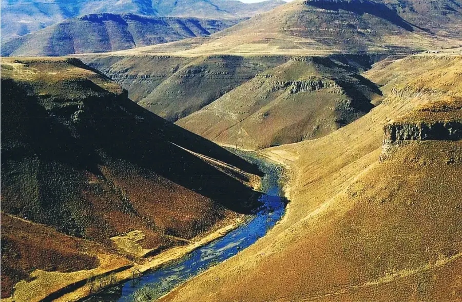
Geography
Facts
- Hlotse was founded in 1876 by missionary John Widdicombe.
- The town is frequently referred to as Leribe.
- Its elevation is approximately 1,590 meters above sea level.
- It contains the remains of a British colonial-era fort.
- The Subeng dinosaur footprints are located just outside the town.
- Hlotse is a primary commercial center for northern Lesotho.
Explore nearby
Notable places around
Route planner — Car & Motorhome
Where do you start? We build the route here, with stops and country notes along the way.
© OpenStreetMap contributors · OpenRouteService
Frequently asked questions
What is the main attraction in Hlotse?
What is the weather like in Hlotse?
Are there good restaurants locally?
How best to reach Hlotse?
Is Hlotse family-friendly?
Hlotse: where is it located?
Hlotse: when is the best time to visit?
Hlotse: why is it worth visiting?

Nearby cities


History & landmarks
Nature
More places