Plizio Visual Lab
Moteng Pass
Weather…
Water temperature…
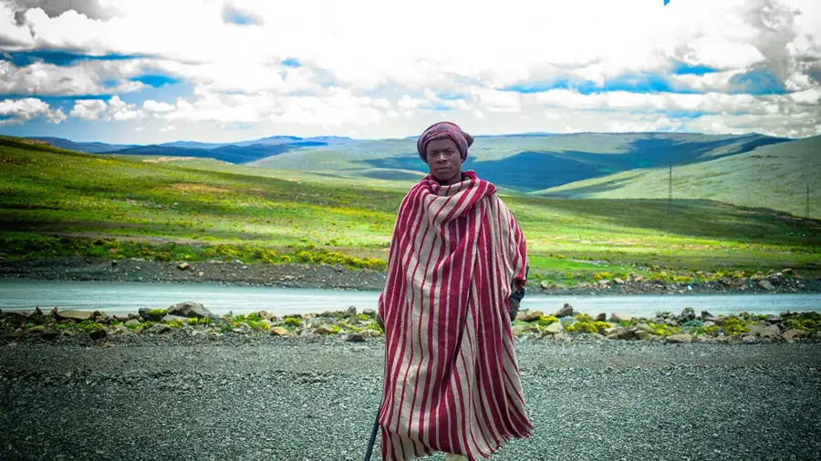
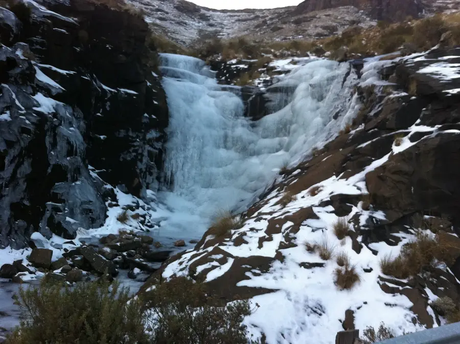
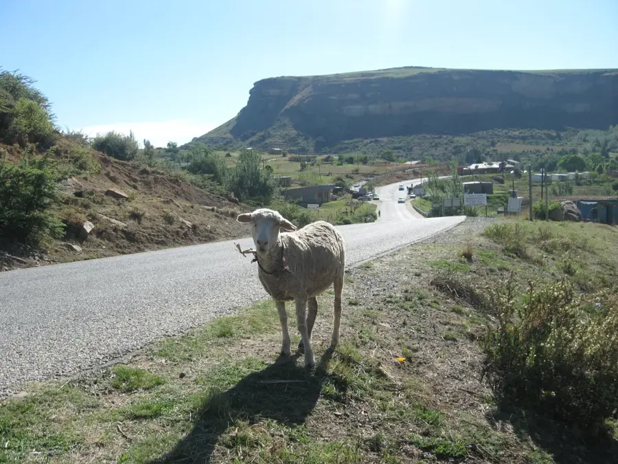
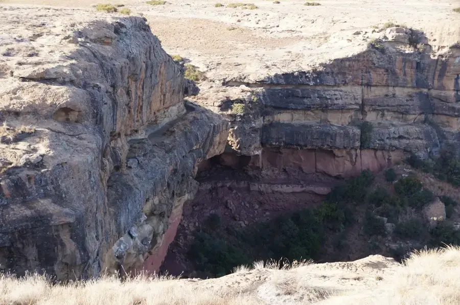
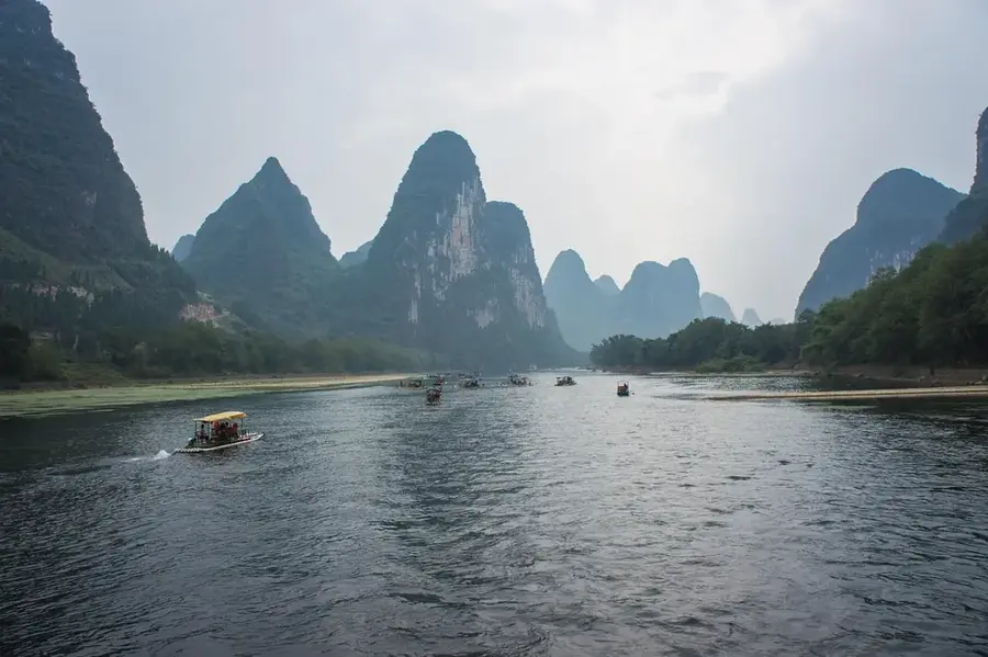
Moteng Pass is one of the most iconic and strategically vital mountain crossings in northern Lesotho, cutting through the rugged Maloti Mountains. Reaching a summit elevation of 2,820 meters, this paved route serves as a crucial artery connecting the capital city, Maseru, with the Oxbow region and the high-altitude diamond mines. The pass is renowned for its steep gradients and tight hairpin bends that demand careful navigation and provide dramatic panoramic views of the surrounding basalt peaks. During the winter months from May to August, the road is frequently subjected to heavy snow and dangerous ice, often requiring the use of snow chains or leading to temporary closures. Despite the challenging conditions, it remains a popular route for travelers seeking to explore Lesotho's alpine landscapes. Its role in supporting local commerce and tourism makes it a cornerstone of the country's infrastructure, acting as a dramatic gateway to the remote and mountainous northeastern highlands.
- Location: Lesotho
- Nearby: Motiti (8 km)
Best time to visit & climate
The most pleasant time to visit is Sep–Nov.
| Jan | Feb | Mar | Apr | May | Jun | Jul | Aug | Sep | Oct | Nov | Dec | |
|---|---|---|---|---|---|---|---|---|---|---|---|---|
| Avg °C | 14 | 14 | 12 | 9 | 5 | 2 | 2 | 5 | 8 | 11 | 12 | 14 |
| Rain mm | 193 | 155 | 115 | 65 | 16 | 14 | 12 | 23 | 32 | 82 | 115 | 163 |
📋 Practical info
Geography
Facts
- Moteng Pass elevation is 2,740 m (8,990 ft).
- It is located halfway between Butha-Buthe and Mokhotlong.
- The road was paved in the 1980s.
- The pass is part of the A1 highway.
- Average temperature in January is 15°C (59°F); in July, 5°C (41°F).
- Average annual precipitation is 700 mm (27.6 in).
Explore nearby
Notable places around
Route planner — Car & Motorhome
Where do you start? We build the route here, with stops and country notes along the way.
© OpenStreetMap contributors · OpenRouteService
Sights nearby
Frequently asked questions
How high is the Moteng Pass?
Is the pass navigable in winter?
What does the Moteng Pass connect?
What are the curves like on the pass?
Are there viewpoints there?
Moteng Pass: where is it located?
Moteng Pass: when is the best time to visit?
Moteng Pass: why is it worth visiting?

Nearby cities
History & landmarks
Nature

More places