Plizio Visual Lab
Szatmár Plain

Weather…
Water temperature…
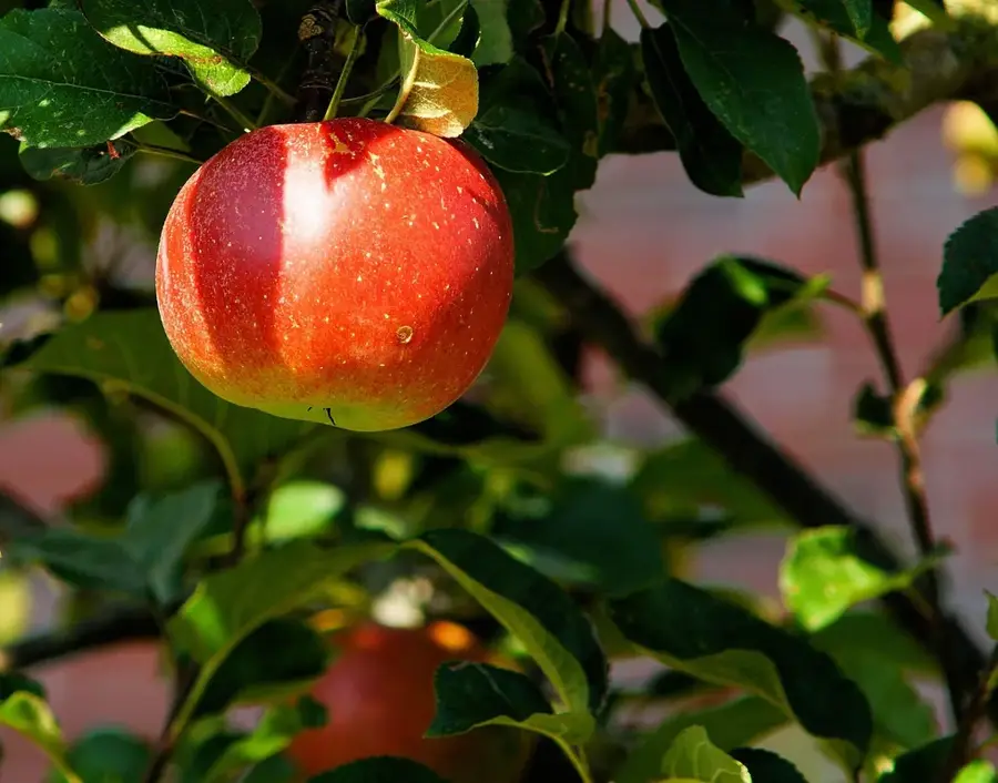
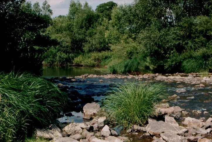
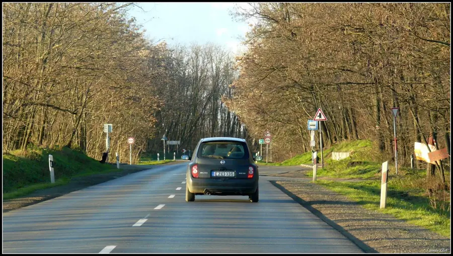
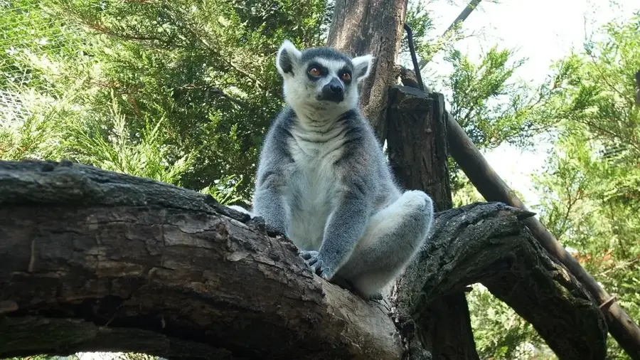
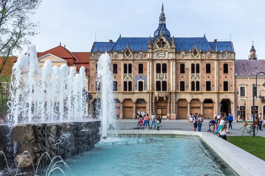
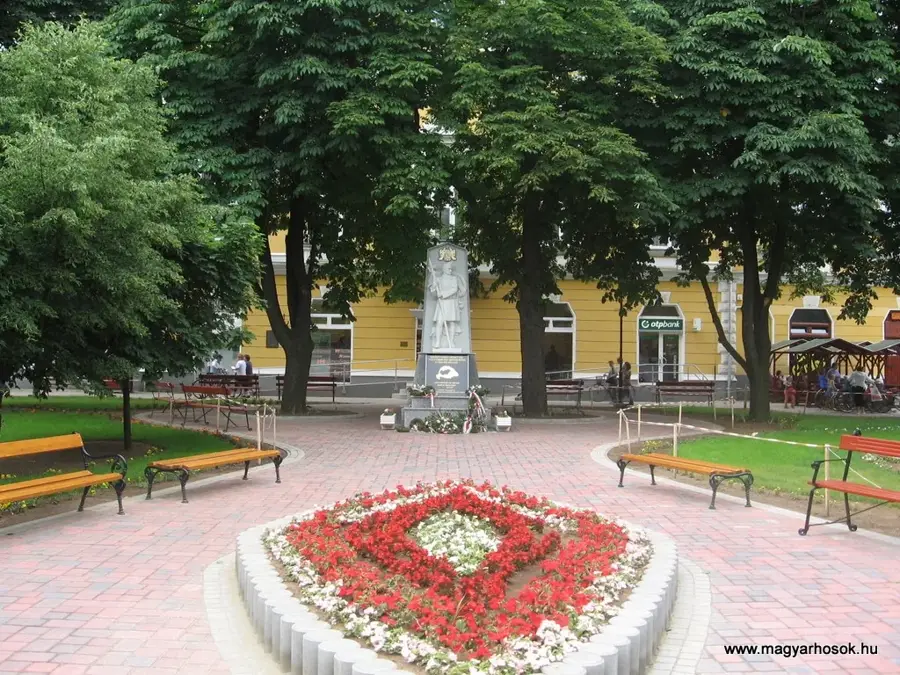
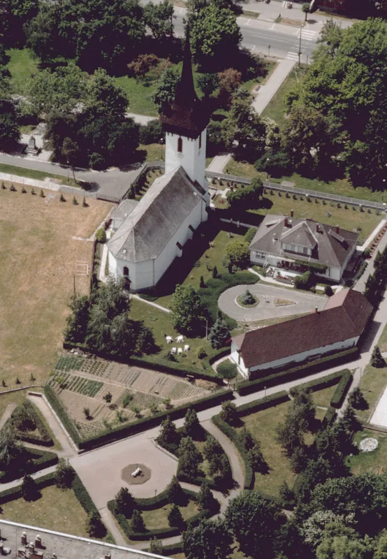
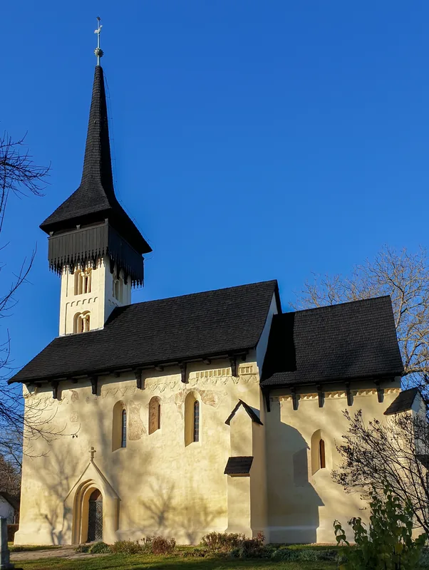
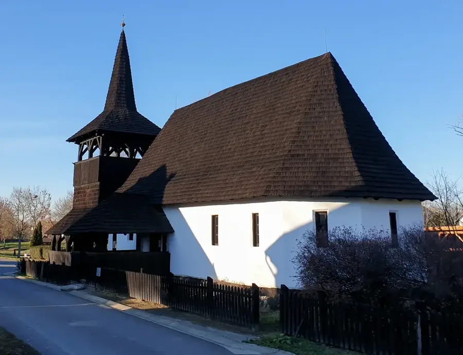
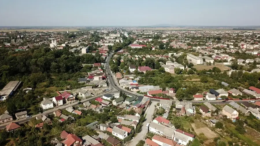
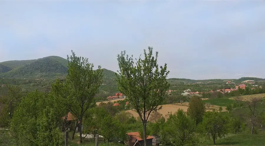
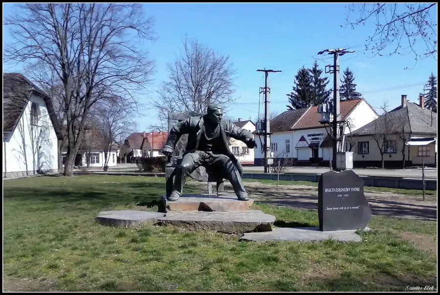
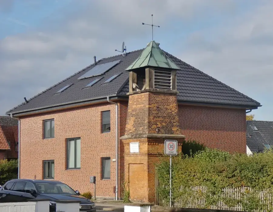
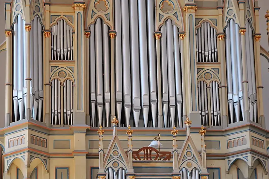
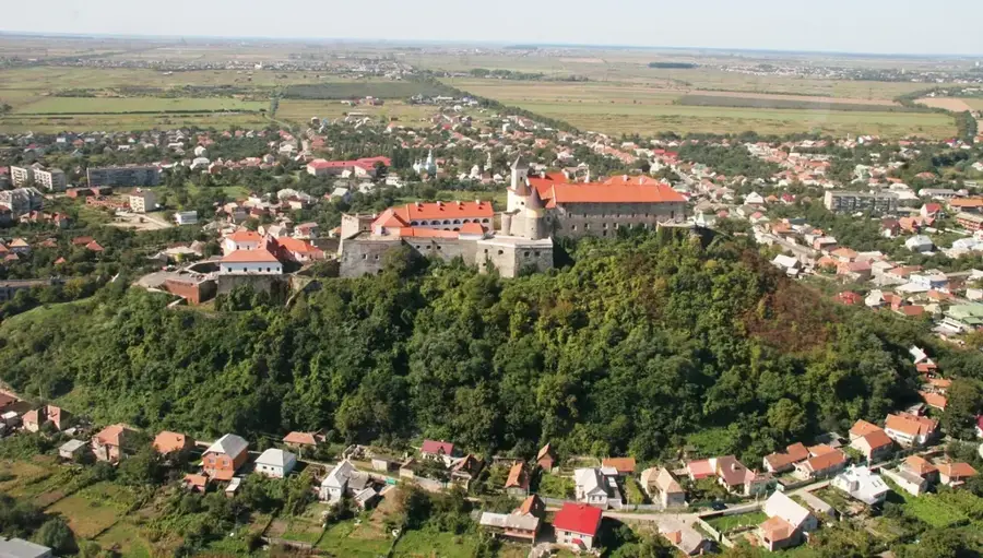
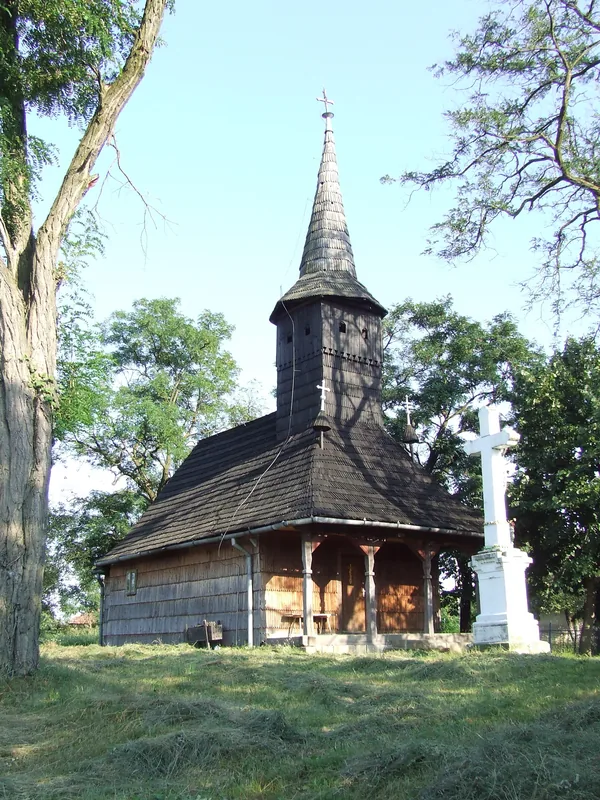
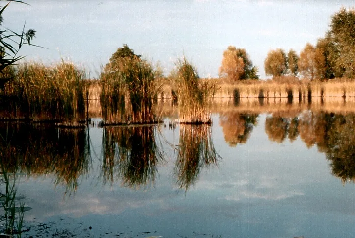
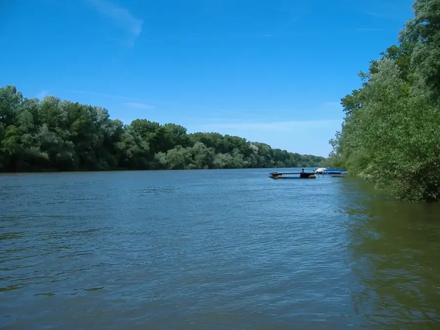
The Szatmár Plain is a geographic sub-region of the Great Hungarian Plain, located in the northeastern corner of the country. It is bounded by the Tisza, Szamos, and Túr rivers, which have historically shaped its marshy and alluvial landscape. The area is known for its traditional fruit orchards, specifically plums and apples, which are the basis for the world-famous Szatmár plum brandy (pálinka). Large parts of the plain are protected as part of the Szatmár-Bereg Landscape Protection Area, preserving rare flora and fauna in its wet meadows and gallery forests. The region is also rich in cultural heritage, featuring numerous medieval 'smiling saints' churches and traditional wooden bell towers. Its rural character and preserved folk traditions make it a unique destination for cultural tourism.
- Location: Hungary
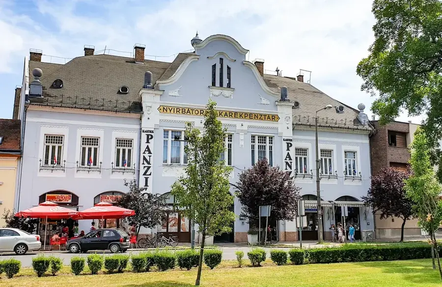
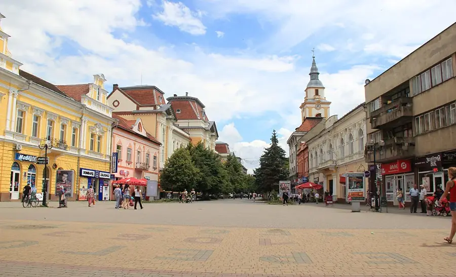
- Nearby: Fehérgyarmat (11 km)
Best time to visit & climate
The most pleasant time to visit is Jun–Aug.
| Jan | Feb | Mar | Apr | May | Jun | Jul | Aug | Sep | Oct | Nov | Dec | |
|---|---|---|---|---|---|---|---|---|---|---|---|---|
| Avg °C | -2 | 0 | 5 | 12 | 17 | 21 | 23 | 23 | 17 | 11 | 5 | -1 |
| Rain mm | 43 | 41 | 44 | 41 | 71 | 77 | 82 | 55 | 55 | 53 | 49 | 49 |
📋 Practical info
Geography
Facts
- Total area of the plain is approximately 2,200 square kilometers
- Home to the protected Szatmár plum variety
- Part of the Szatmár-Bereg Landscape Protection Area founded in 1982
- Major rivers include the Tisza, Szamos, and Túr
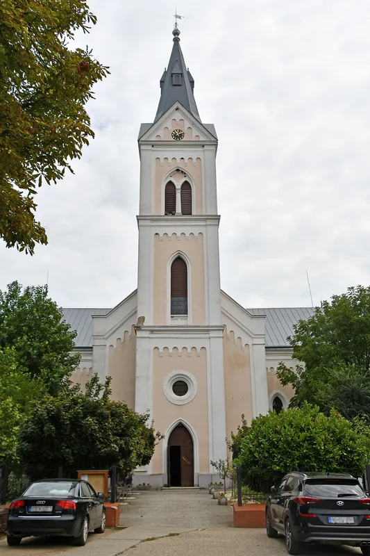
- Famous for the medieval 'Route of Churches' cultural trail
- Features one of the highest densities of traditional wooden bell towers
Explore nearby
Notable places around
Route planner — Car & Motorhome
Where do you start? We build the route here, with stops and country notes along the way.
© OpenStreetMap contributors · OpenRouteService
Sights in the town Szatmár Plain (1)
Sights nearby
Frequently asked questions
What is special about this landscape?
What is the 'Route of Medieval Churches'?
Which culinary products are typical?
Are there national parks in the region?
When is the best time for nature photography?
Szatmár Plain: where is it located?
Szatmár Plain: when is the best time to visit?
Szatmár Plain: why is it worth visiting?

Nearby cities
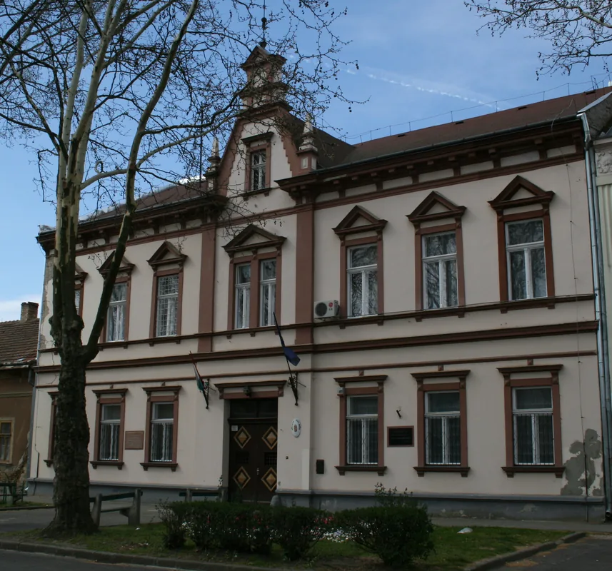

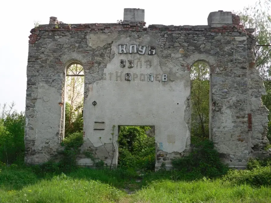
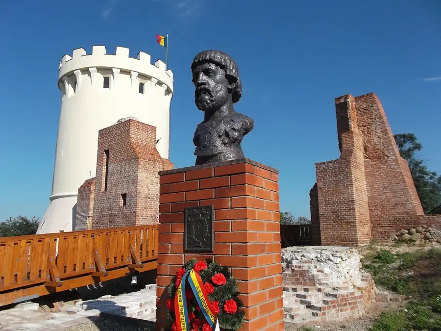

History & landmarks
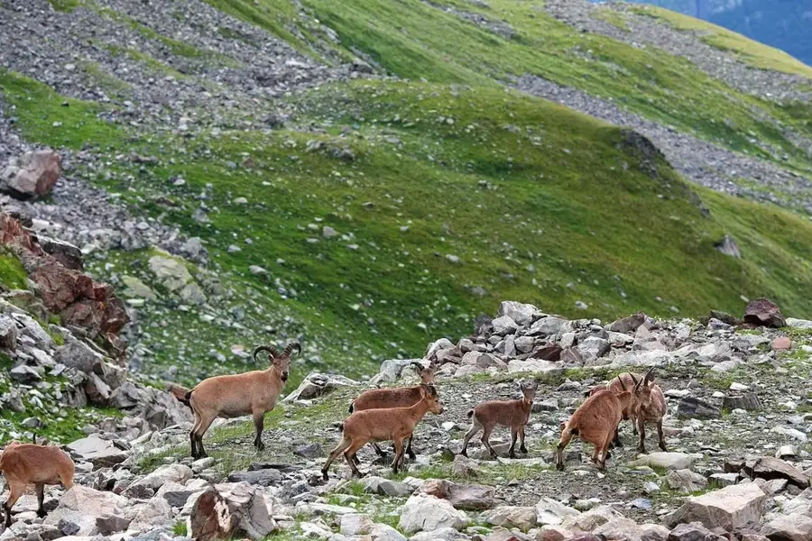
Nature
More places