Plizio Visual Lab
Fouta Djallon
Weather…
Water temperature…
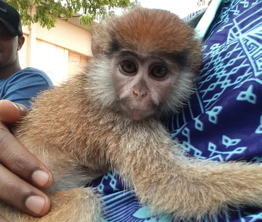
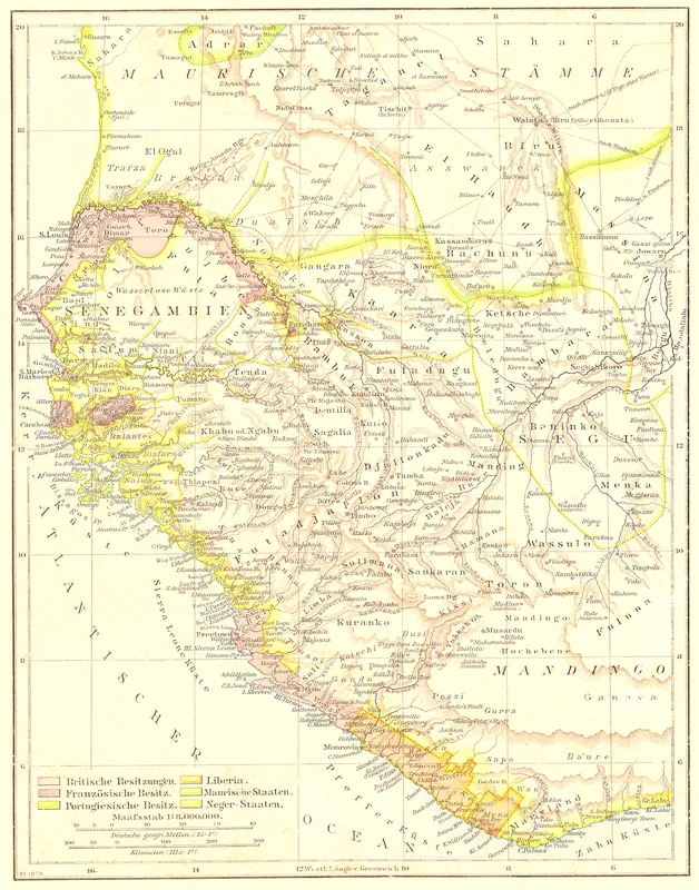
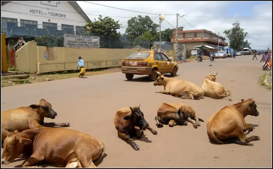
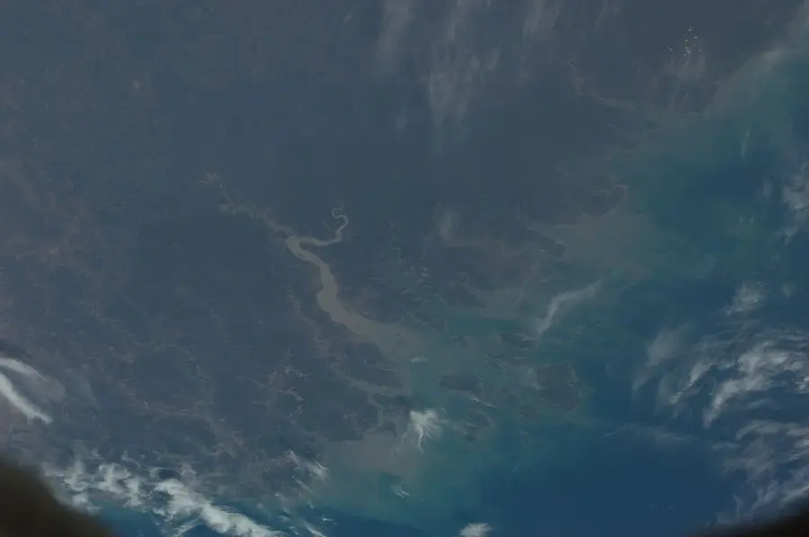
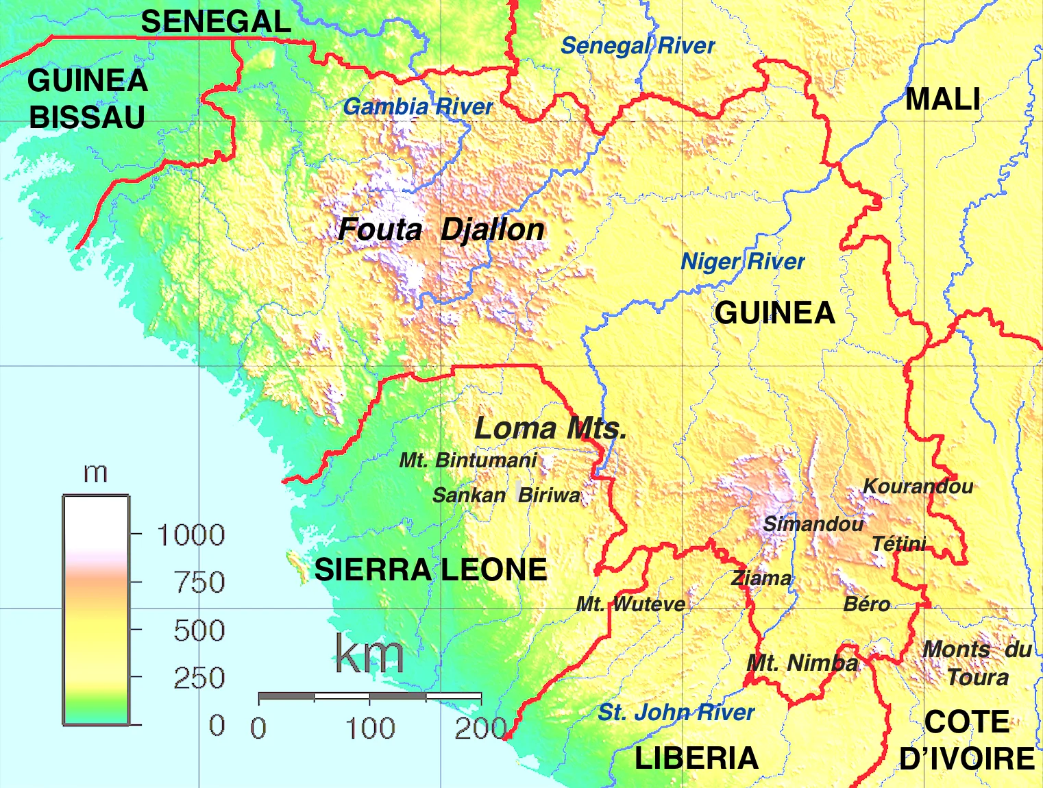
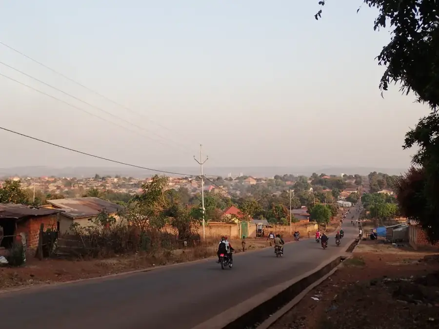
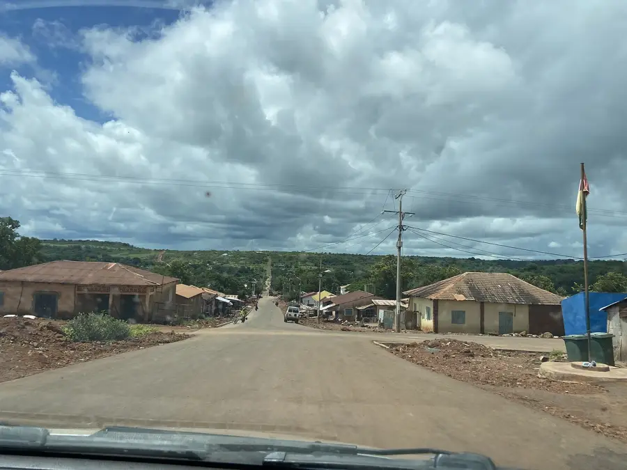
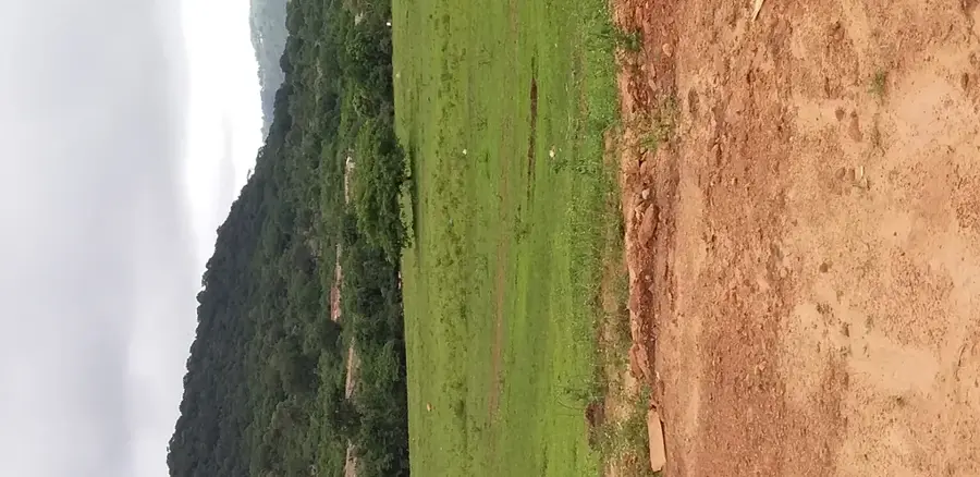
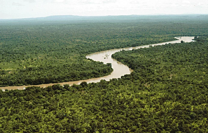
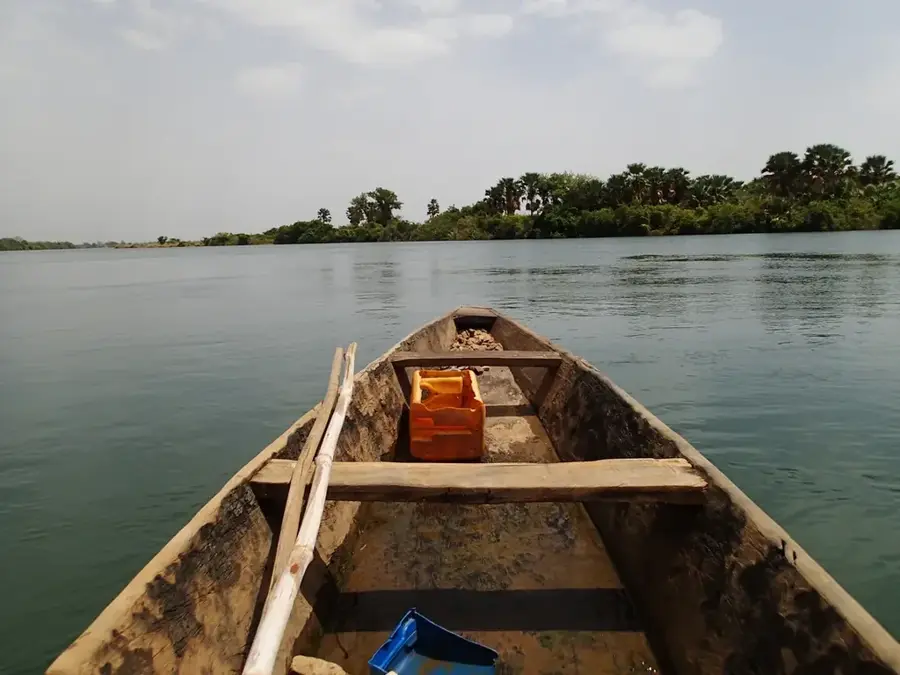
The Fouta Djallon massif is the geographic and ecological backbone of Guinea, often referred to as the 'Water Tower of West Africa' because of its critical role in the regional hydrological system. Geographically, this vast sandstone plateau covers the central part of the country, reaching its highest point at Mount Loura. The landscape is defined by its spectacular topography, featuring deep sandstone canyons, high plateaus, and a multitude of dramatic waterfalls such as Kinkon and Ditinn. Botanically, the region serves as a transition zone between savanna and montane forest, where rare species like the cinchona tree thrive. The cool highland temperatures provide a stark contrast to the oppressive heat of the coastal plains. Historically, Fouta Djallon is the cultural heartland of the Peul (Fula) people and was the site of a powerful pre-colonial theocratic state. Economically, the region is indispensable for agriculture, particularly grain and vegetable production, and extensive cattle ranching. For conservationists, the massif is of global importance as it contains the headwaters of major rivers including the Niger, Senegal, and Gambia. It is a landscape of rugged beauty and deep spiritual significance that forms the core of the Guinean nation.
- Location: Guinea
- Nearby: Timbi-Madina (19 km)
Best time to visit & climate
The most pleasant time to visit is Jan, Nov, Dec.
| Jan | Feb | Mar | Apr | May | Jun | Jul | Aug | Sep | Oct | Nov | Dec | |
|---|---|---|---|---|---|---|---|---|---|---|---|---|
| Avg °C | 24 | 27 | 29 | 30 | 29 | 26 | 24 | 23 | 23 | 24 | 24 | 23 |
| Rain mm | 2 | 2 | 4 | 26 | 105 | 202 | 325 | 444 | 293 | 100 | 16 | 1 |
📋 Practical info
Geography
Facts
- The massif is the primary watershed for the Niger, Senegal, and Gambia rivers.
- It is composed primarily of ancient, layered sandstone formations.
- The area is home to Guinea's most iconic waterfalls, including Kambadaga.
- Altitudes range up to 1,515 meters, creating a temperate highland climate.
- Fouta Djallon has been a center for Islamic learning in West Africa for centuries.
- The region accounts for a significant portion of Guinea's livestock production.
Explore nearby
Notable places around
Route planner — Car & Motorhome
Where do you start? We build the route here, with stops and country notes along the way.
© OpenStreetMap contributors · OpenRouteService
Sights nearby
Frequently asked questions
What are the highlights of Fouta Djallon?
How long should one plan for a trek?
What clothing is necessary?
Are there waterfalls there?
Is the region culturally interesting?
Fouta Djallon: where is it located?
Fouta Djallon: when is the best time to visit?
Fouta Djallon: why is it worth visiting?

Nearby cities
History & landmarks
Nature
More places