Plizio Visual Lab

Koubia Plateau

Plizio editorial teamData Sources
Relief
—°1
Koubia Plateau (Guinea)

Weather…

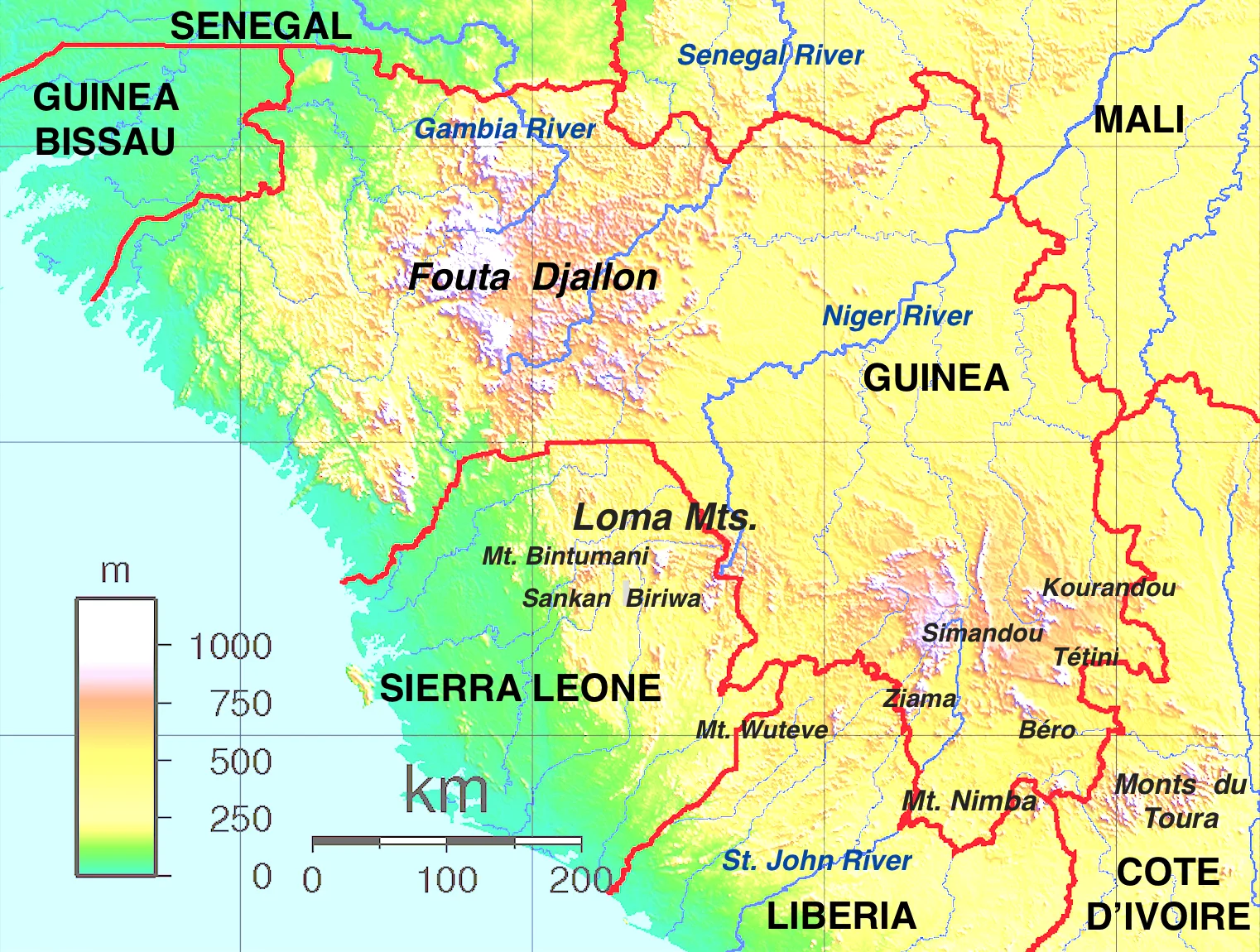
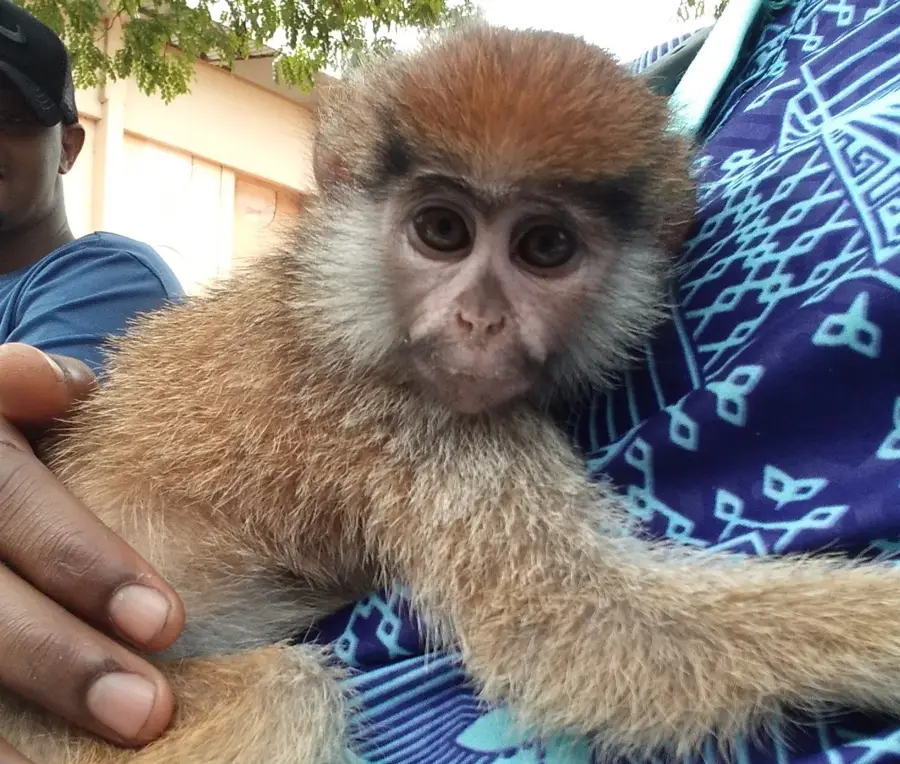
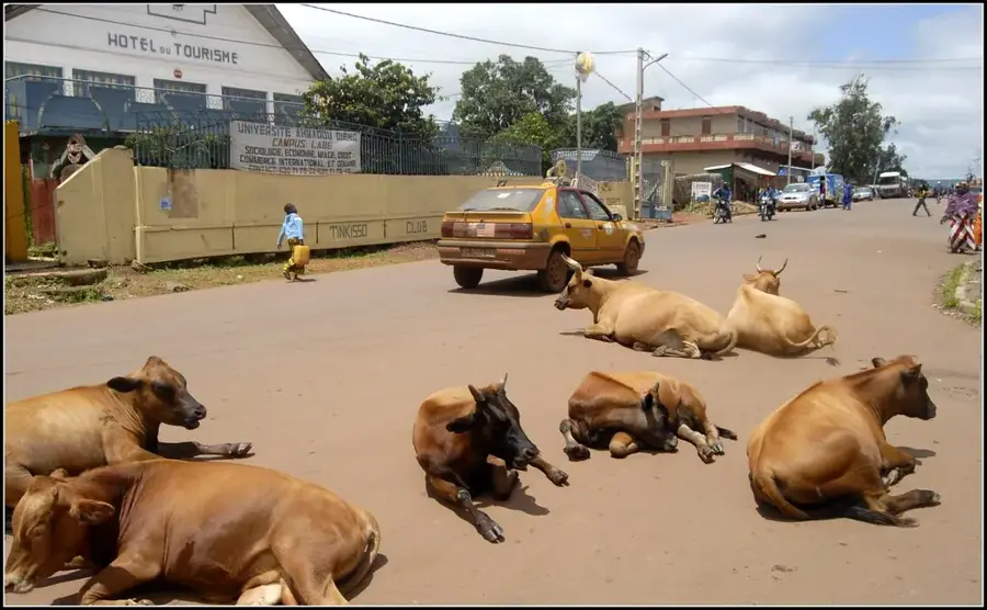
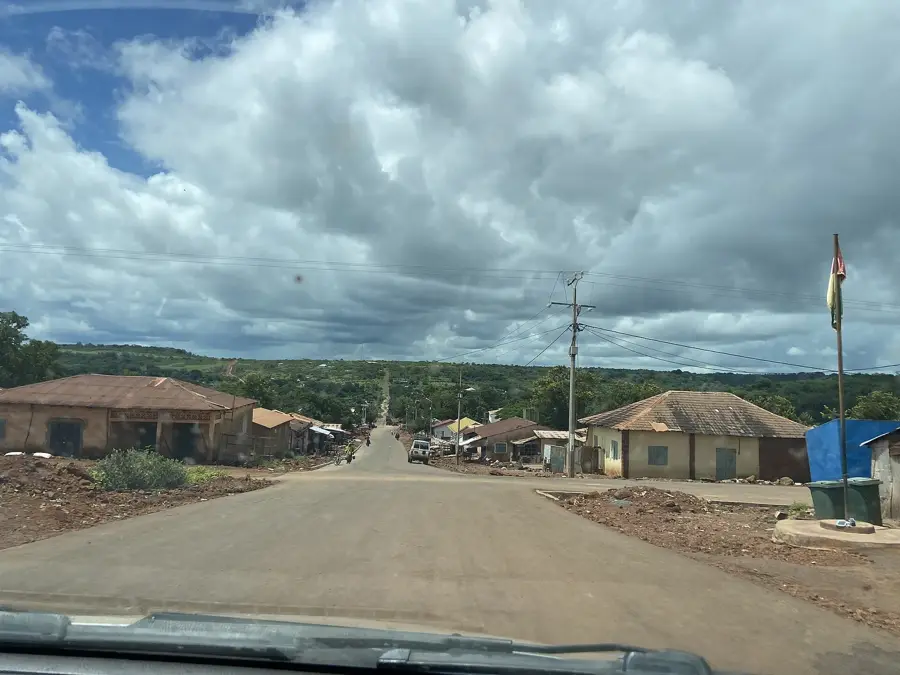
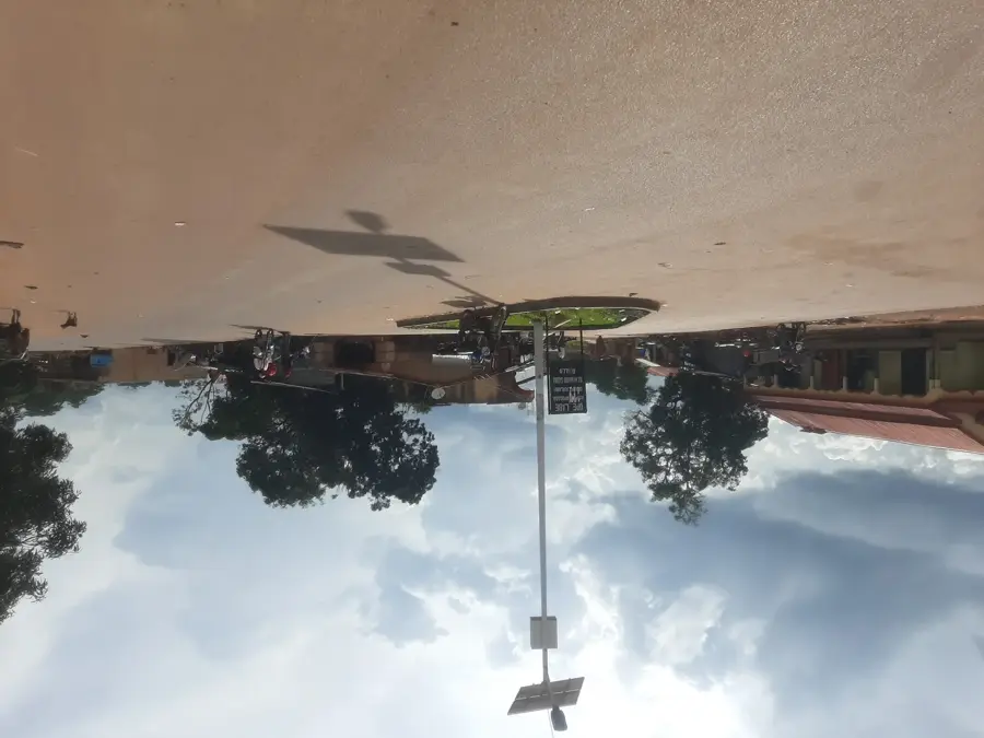
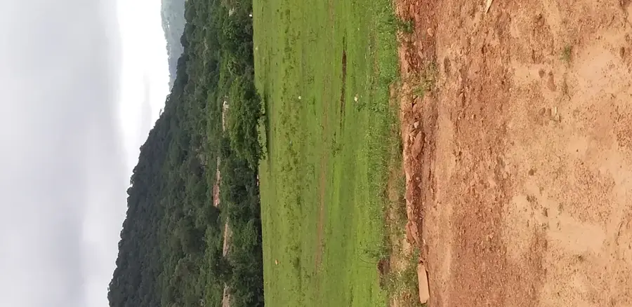
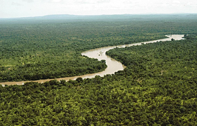
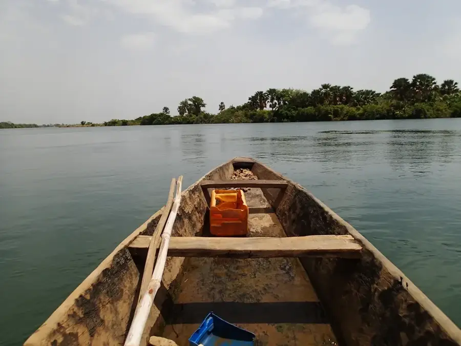
The Koubia Plateau is a rugged and secluded highland in the northeast of the Fouta Djallon massif. The landscape is characterized by deep erosion valleys and isolated table mountains consisting geologically of horizontally layered sandstones of the Paleozoic. Due to the extreme seclusion, a unique flora and fauna have been preserved here, adapted to the sparse soils and wind-swept heights. The plateau is known for its bizarre rock formations and numerous cave systems, which often have archaeological significance. The local economy is based on extensive livestock farming by Fula nomads using the sparse pastures. The Koubia Plateau represents one of Guinea's most pristine landscapes, far off the major transport routes. The rugged beauty of this region attracts primarily adventurers and geoscientists.

Best time to visit & climate

The most pleasant time to visit is Jan, Nov, Dec.

JanFebMarAprMayJunJulAugSepOctNovDec
Avg °C242729313027252424252423
Rain mm123177915827641225994120

📋 Practical info

🧭
Getting there
Reaching the Koubia Plateau involves traveling through the Fouta Djallon region, typically starting from larger regional towns and navigating northeast via rugged, unpaved local roads. Access strictly requires a high-clearance, four-wheel-drive vehicle due to the exceptionally poor road conditions.
📅
Best season
The dry season, lasting from November to April, is undoubtedly the most practical time to attempt a visit, offering clearer skies and manageable dirt tracks. The rainy season turns the region's roads into impassable mud pits and obscures the dramatic plateau views in heavy mists.
⛰️
Terrain & paths
The landscape is a striking high-altitude wilderness, characterized by steep, rocky drops, expansive grasslands, and deep valleys cutting through the plateau. Trekking here requires navigating uneven ground, unmarked trails, and negotiating significant elevation changes.
🎒
What to bring
Visitors must be thoroughly equipped with sturdy trekking boots for the rocky paths and warm layers of clothing, as high-altitude evenings can become surprisingly chilly. It is essential to bring all necessary food, a reliable water filtration method, and advanced navigation tools.
🅿️
Parking
Formal parking spots are non-existent in this remote terrain; vehicles are usually parked at the final accessible rural village before beginning a foot expedition. Securing a vehicle relies entirely on making informal arrangements with local community leaders or hired guides.
⚠️
Safety
The extreme remoteness is the primary safety hazard, meaning any medical emergency would require a complicated and lengthy evacuation. Traveling with a knowledgeable local guide who understands the harsh terrain and can communicate with isolated settlements is completely indispensable.
⏱️
Time needed
Exploring the vastness of the Koubia Plateau is a serious undertaking that typically requires dedicating several days to a full week of intense trekking. The challenging access alone ensures that short visits or simple day trips are realistically impossible to execute.

Geography

Coordinates
11.55000, -11.35000

Facts

  • The average elevation is around 900 to 1,000m.
  • Significant for the protection of endemic succulent plants.
  • One of the least developed districts in Guinea.
  • Climate is characterized by hot days and very cool nights.
  • The plateau forms the border towards the Senegal Basin.
  • Numerous waterfalls plunge from the cliffs during the rainy season.

Explore nearby

Notable places around

Route planner — Car & Motorhome

Where do you start? We build the route here, with stops and country notes along the way.

Vehicle
Only stops with (optional):

© OpenStreetMap contributors · OpenRouteService

Sights in the town Koubia Plateau (1)

Moyen-Bafing National Park🌿 nature

Established in 2021, the Moyen-Bafing National Park is a massive protected area in the Koubia plateau, specifically designed to safeguard West African chimpanzee populations.

Sights nearby

Frequently asked questions

How is the Koubia Plateau best reached?
Travel by 4x4 vehicle is the best way to get there.
Is the plateau suitable for families?
The terrain is demanding for small children due to the wild nature.
What clothing should be worn?
Wear sturdy footwear and light, breathable clothing.
Is a permit required?
Check for current local regulations shortly before your trip.
Are there viewpoints?
Yes, there are spectacular panoramic views from the edge of the plateau.
Koubia Plateau: where is it located?
Koubia Plateau is located in Guinea.
Koubia Plateau: when is the best time to visit?
The most pleasant time to visit is Jan, Nov, Dec.
Koubia Plateau: why is it worth visiting?
The Koubia Plateau is a rugged and secluded highland in the northeast of the Fouta Djallon massif.
View on map → The Top 50 Attractions → OpenStreetMap →
Africa
Explore with Plizio Discover more places in Africa
More places in Guinea →

Nearby cities

History & landmarks

Nature

More places