Plizio Visual Lab
Mount Saré
Weather…
Water temperature…
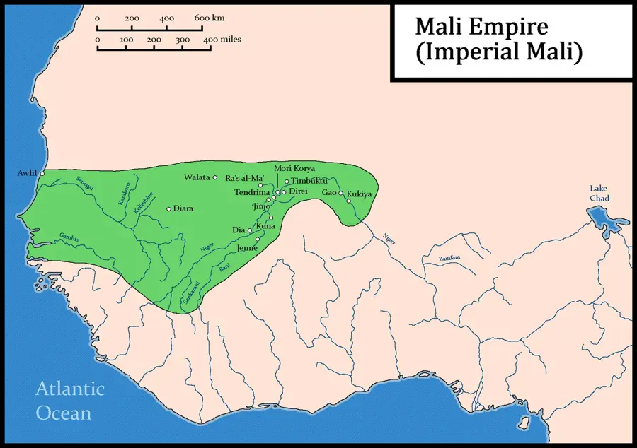
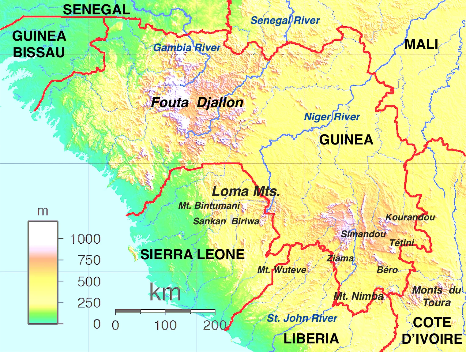
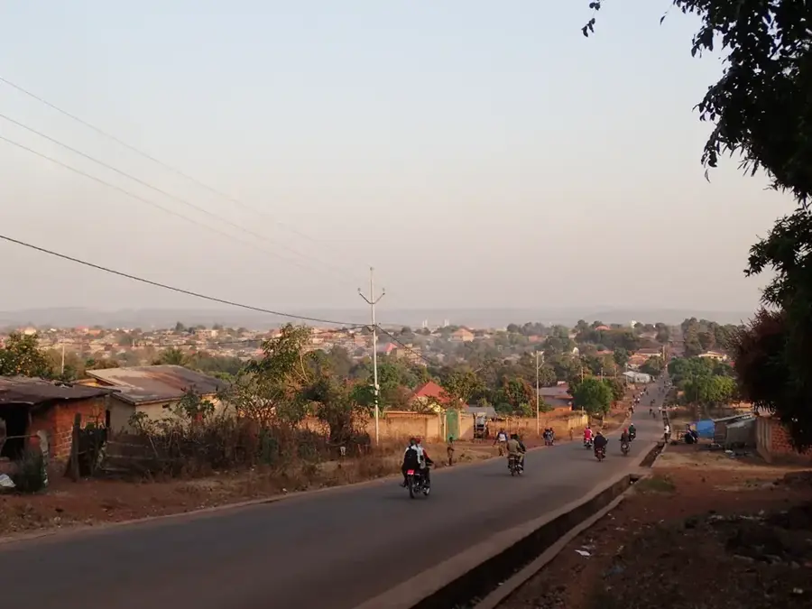
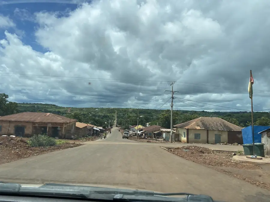
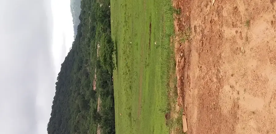
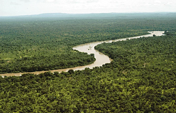
Mount Saré (Mont Saré) is a prominent peak in the central Fouta Djallon highlands, located within the Dalaba Prefecture. Geographically, it is part of the region's characteristic sandstone plateau formations, reaching an elevation that makes it a visible landmark from afar. The mountain is defined by steep cliffs and deeply incised valleys along its flanks, while the summit area often features flatter, windswept grasslands. Historically, Mount Saré served the local Peul communities as a strategic sanctuary and a site for spiritual rites. The climate on the mountain is notably cooler than the surrounding lowlands, leading to the development of montane mist forests in sheltered pockets. Ecologically, the Saré massif supports specialized flora, including rare ferns and endemic succulents adapted to the rocky terrain. Economically, the mountain is part of the local trekking circuit, attracting visitors seeking solitude and pristine environments. From the heights of Mount Saré, spectacular views across the expansive plateaus of Middle Guinea reveal the complex geological layering of the highlands.
- Location: Guinea
- Nearby: Labé (5 km)
Best time to visit & climate
The most pleasant time to visit is Jan, Nov, Dec.
| Jan | Feb | Mar | Apr | May | Jun | Jul | Aug | Sep | Oct | Nov | Dec | |
|---|---|---|---|---|---|---|---|---|---|---|---|---|
| Avg °C | 24 | 27 | 29 | 30 | 29 | 26 | 24 | 23 | 23 | 24 | 24 | 23 |
| Rain mm | 2 | 1 | 3 | 18 | 96 | 181 | 349 | 475 | 292 | 100 | 14 | 0 |
📋 Practical info
Geography
Facts
- Mount Saré is among the highest elevations in the Dalaba highlands.
- The mountain is composed of ancient sedimentary sandstone layers.
- The slope forests serve as a vital catchment area for local streams.
- It experiences a distinct afro-montane climate with high humidity.
- Mount Saré is a central point for regional environmental monitoring.
- The peak offers a panoramic 360-degree view of the Guinean heartland.
Explore nearby
Notable places around
Route planner — Car & Motorhome
Where do you start? We build the route here, with stops and country notes along the way.
© OpenStreetMap contributors · OpenRouteService
Sights nearby
Frequently asked questions
What characterizes Mount Saré?
Is the region touristically developed?
Do I need special equipment?
Are there water sources along the way?
Is the travel difficult?
Mount Saré: where is it located?
Mount Saré: when is the best time to visit?
Mount Saré: why is it worth visiting?

Nearby cities

History & landmarks
Nature
More places