Plizio Visual Lab
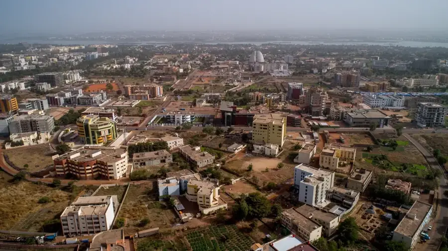
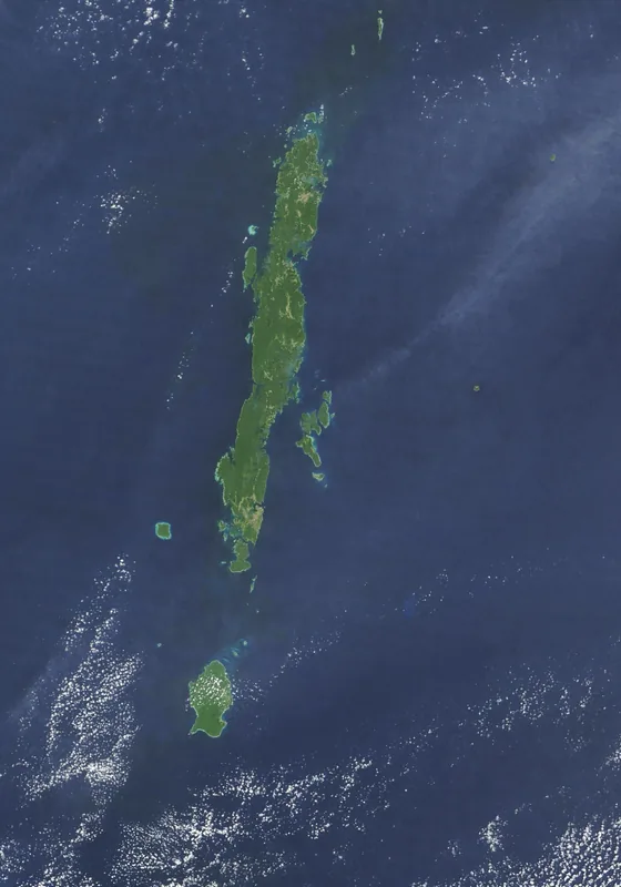
Mali Plateau
Weather…
Water temperature…
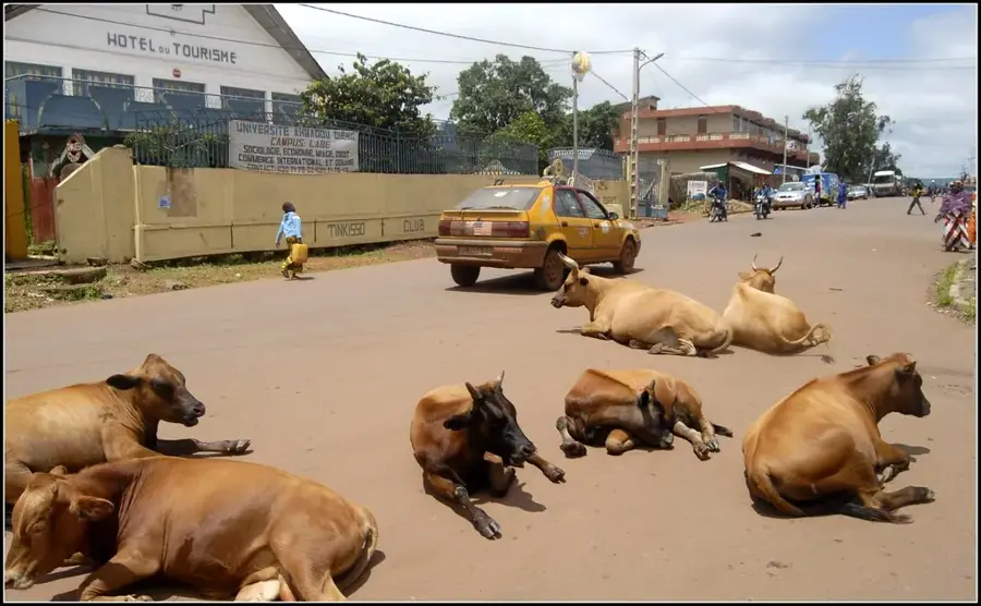
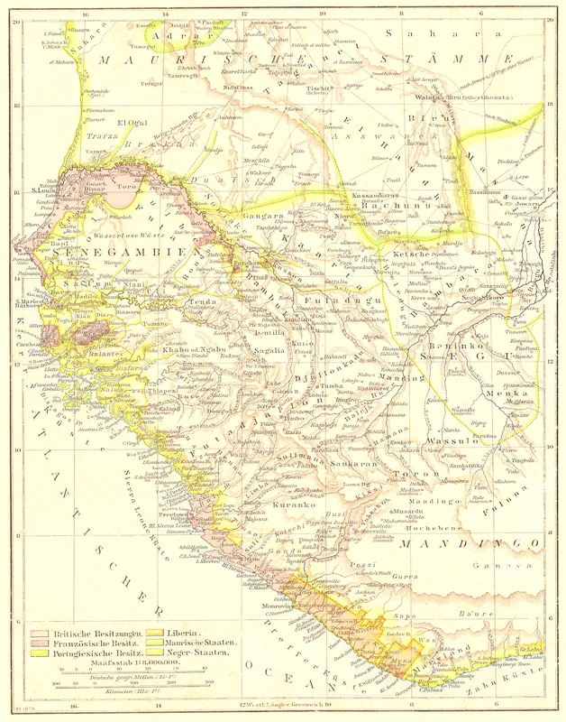
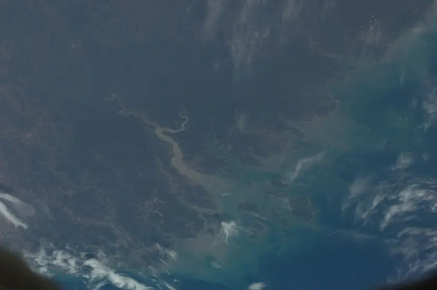
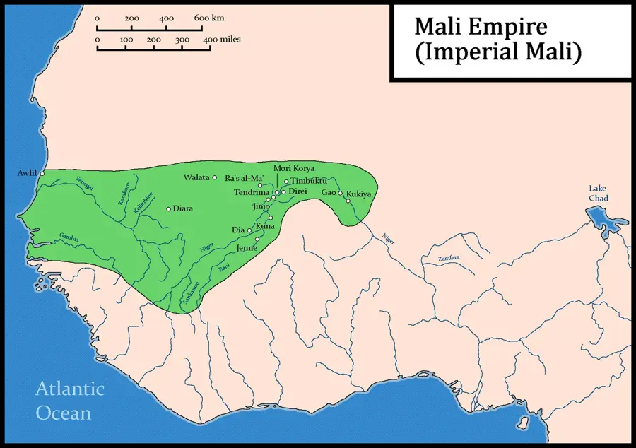
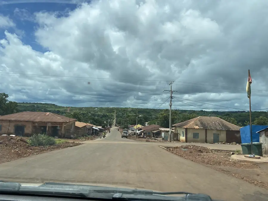
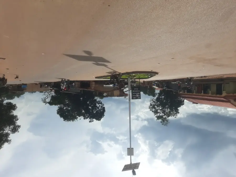
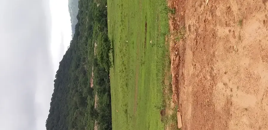
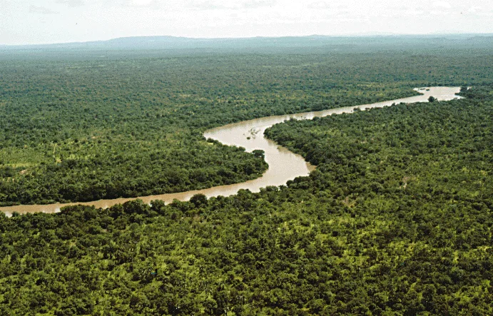
The Mali Plateau (Plateau de Mali) is the highest and northernmost highland region in Guinea, located in the heart of the Mali Prefecture. Geographically, this plateau marks the summit of the Fouta Djallon massif, reaching altitudes of over 1,400 meters. The relief is defined by extremely rugged cliffs, vast, arid high surfaces, and spectacular erosional forms, with Mount Loura being the most famous among them. The topography of the Mali Plateau features sweeping views across the border into Senegal and toward Guinea-Bissau. The climate here is among the coldest in the country; during the Harmattan season, nighttime temperatures can drop significantly. Historically, the plateau served as a natural stronghold and a place of seclusion for the Peul aristocracy. Economically, the region is significant for its montane market gardening (notably potatoes and onions) and extensive cattle ranching. Ecologically, the Mali Plateau hosts a unique afro-alpine flora adapted to harsh wind and temperature conditions. For visitors, the plateau exudes a wild, almost mystical beauty, where millions of years of erosion have carved fascinating sculptures out of the sandstone. It represents the 'roof of Guinea' and is a primary destination for trekking and nature enthusiasts.
- Location: Guinea
- Nearby: Mali (7 km)
Best time to visit & climate
The most pleasant time to visit is Jan, Nov, Dec.
| Jan | Feb | Mar | Apr | May | Jun | Jul | Aug | Sep | Oct | Nov | Dec | |
|---|---|---|---|---|---|---|---|---|---|---|---|---|
| Avg °C | 25 | 28 | 30 | 31 | 30 | 27 | 25 | 24 | 24 | 25 | 24 | 24 |
| Rain mm | 2 | 1 | 2 | 10 | 72 | 174 | 332 | 468 | 296 | 113 | 13 | 0 |
📋 Practical info
Geography
Facts
- The Mali Plateau is the highest-altitude inhabited region in the Republic of Guinea.
- It features the highest peak of the Fouta Djallon massif, Mount Loura.
- The plateau's terrain is a classic example of inverted relief and erosion.
- It serves as the northernmost headwater basin for the Senegal River system.
- The region is locally famous for its high-quality mountain honey and dairy.
- Nighttime temperatures on the plateau are the lowest recorded in West Africa.
Explore nearby
Notable places around
Route planner — Car & Motorhome
Where do you start? We build the route here, with stops and country notes along the way.
© OpenStreetMap contributors · OpenRouteService
Sights nearby
Frequently asked questions
How to reach Mali Plateau?
What is the highlight?
Are there accommodations?
Do I need to be fit?
What is the best time?
Mali Plateau: where is it located?
Mali Plateau: when is the best time to visit?
Mali Plateau: why is it worth visiting?

Nearby cities
History & landmarks
Nature
More places