Plizio Visual Lab
Dabola
ℹ️Practical info — Dabola
▾
🌤 Weather — 5 days
📍 Nearby
Sights nearby
💡 Tips
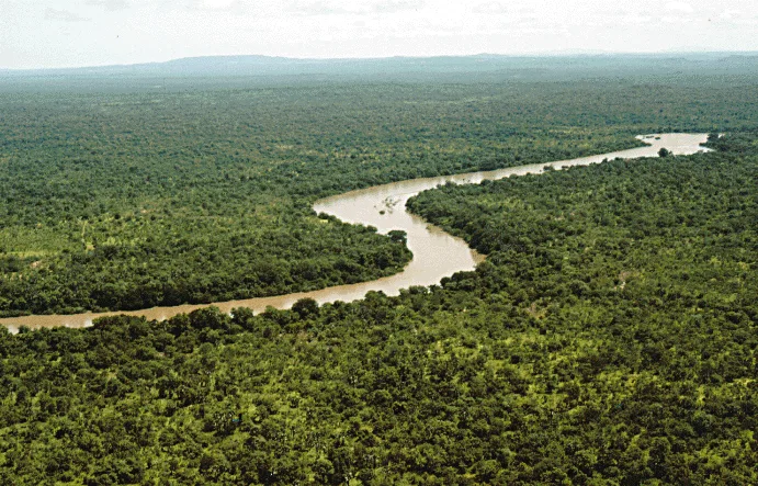
- The Tinkisso River is the lifeblood of the town; the best time for photography is early morning when the mist is clearing.
- Dabola is an important railway junction, but passenger services are irregular, so rely on bush taxis (sept-places) for regional travel.
- The Harmattan wind brings dust from the Sahara between December and March; bring a scarf or face covering.
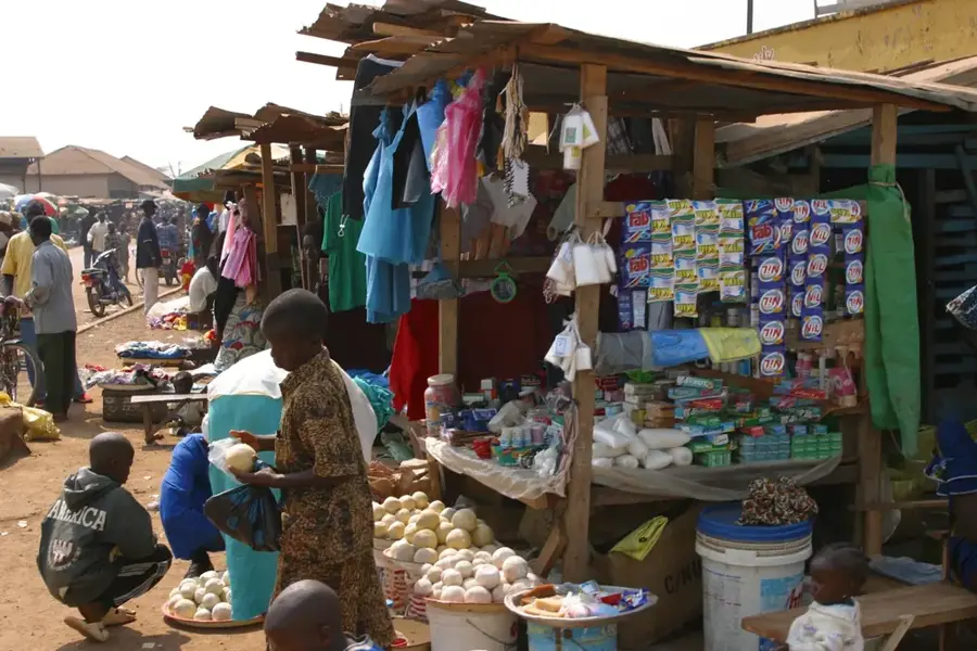
- Bargaining is expected at the central market; start at half the asking price and negotiate politely.
- Power outages are common; keep your devices charged and bring a power bank.
🍽 Food
This chicken in onion and lemon sauce is available in most local maquis (small restaurants) near the main road.
A popular Guinean rice comfort food found in the busy eateries around the market.
Buy sweet mangoes and bananas directly from the farmers at the Dabola central market.
🛍 Shopping · 🧘 Quiet spots
A great place for buying colorful West African fabrics and local spices.
Look for local blacksmiths and woodworkers selling their traditional wares around the town center.
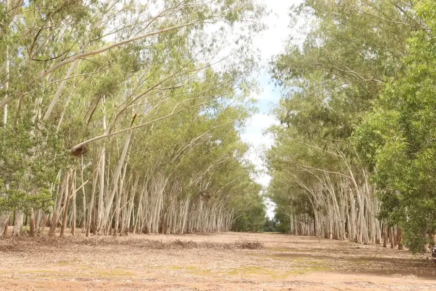
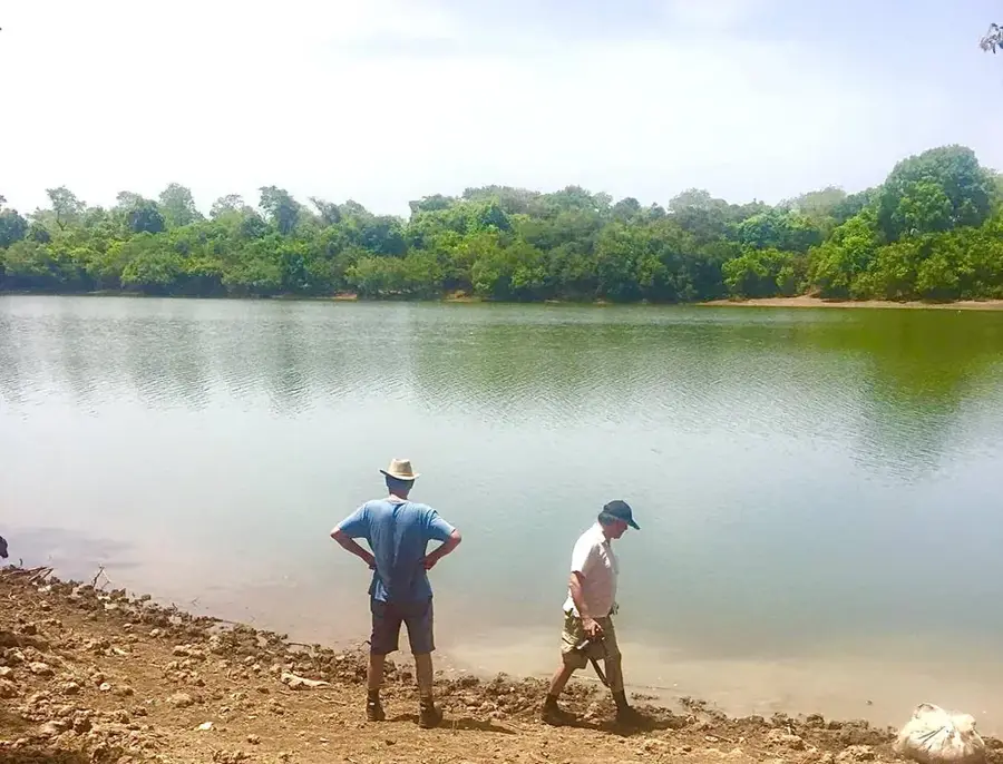
A tranquil place to relax in nature, far away from the bustling market center.
The historic train station area has a quiet and nostalgic glimpse into the town's past.
Water temperature…
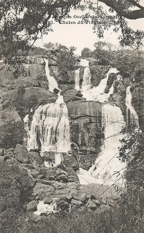
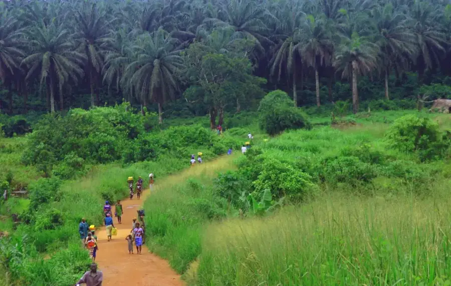
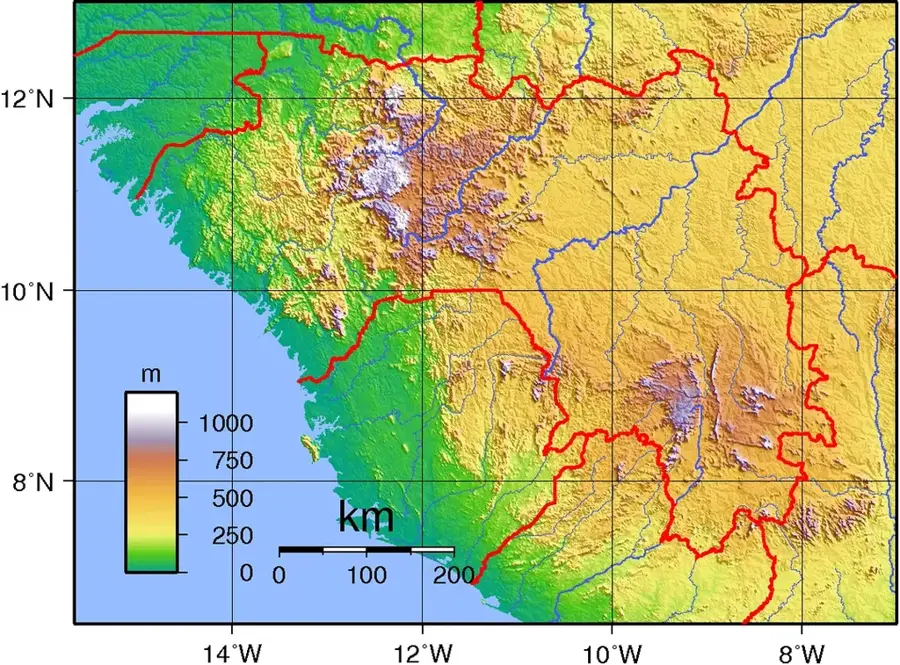
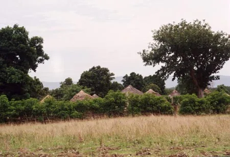
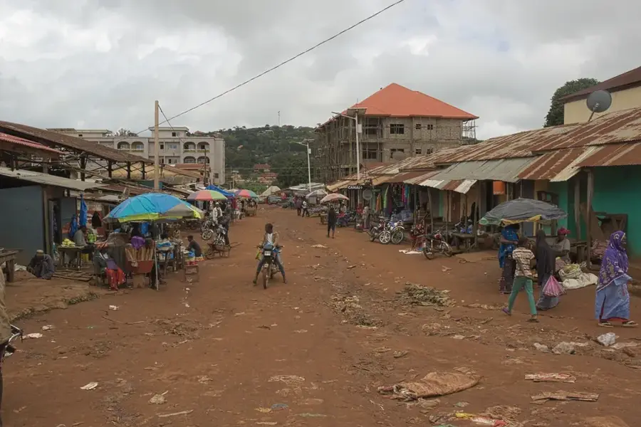
Dabola is located at the geographic heart of Guinea, marking the transition zone between the Fouta Djallon highlands and the Upper Guinea savannas. The town is situated on the banks of the Tinkisso River, a major tributary of the Niger River. Historically, Dabola rose to prominence as a key station on the Conakry-Kankan railway line built during the colonial era. This rail link established the town as a vital trading post for agricultural products, particularly peanuts, rice, and millet. While rail traffic has declined, Dabola maintains its strategic importance as a road transport hub where national highways connecting the north, south, east, and west intersect. The local economy is primarily based on agricultural trade and livestock farming. The nearby Tinkisso Falls are not only a scenic landmark but also house a hydroelectric plant that provides power to the surrounding region. As the administrative center of its prefecture, Dabola is a bustling market town where Fula and Malinké cultural influences blend, creating a unique regional identity.
- Location: Guinea
- Nearby: Timbi-Madina (51 km)
- Population: ~29.449 (2023)
Best time to visit & climate
The most pleasant time to visit is Jan, Nov, Dec.
| Jan | Feb | Mar | Apr | May | Jun | Jul | Aug | Sep | Oct | Nov | Dec | |
|---|---|---|---|---|---|---|---|---|---|---|---|---|
| Avg °C | 24 | 27 | 29 | 30 | 29 | 26 | 24 | 23 | 23 | 24 | 24 | 23 |
| Rain mm | 2 | 2 | 4 | 26 | 105 | 202 | 325 | 444 | 293 | 100 | 16 | 1 |
Geography
Facts
- Dabola is widely regarded as the geographical center of Guinea.
- The town lies on the Tinkisso River, which flows into the Niger.
- It was a major junction on the historic railway connecting Conakry to Kankan.
- The Tinkisso hydroelectric dam nearby provides electricity to the area.
- Dabola serves as a major regional market for peanuts and livestock.
- The town is a key transport hub where the N1 and N30 highways meet.
Explore nearby
Notable places around
Route planner — Car & Motorhome
Where do you start? We build the route here, with stops and country notes along the way.
© OpenStreetMap contributors · OpenRouteService
Sights in the town Dabola (1)
Frequently asked questions
What makes Dabola geographically special?
Are there waterfalls nearby?
How is the climate in Dabola?
What is the main economic activity?
Can Dabola be reached by train?
Dabola: where is it located?
Dabola: when is the best time to visit?
Dabola: why is it worth visiting?

Nearby cities
Nature
More places