Plizio Visual Lab
Gambia River Source
Weather…
Water temperature…
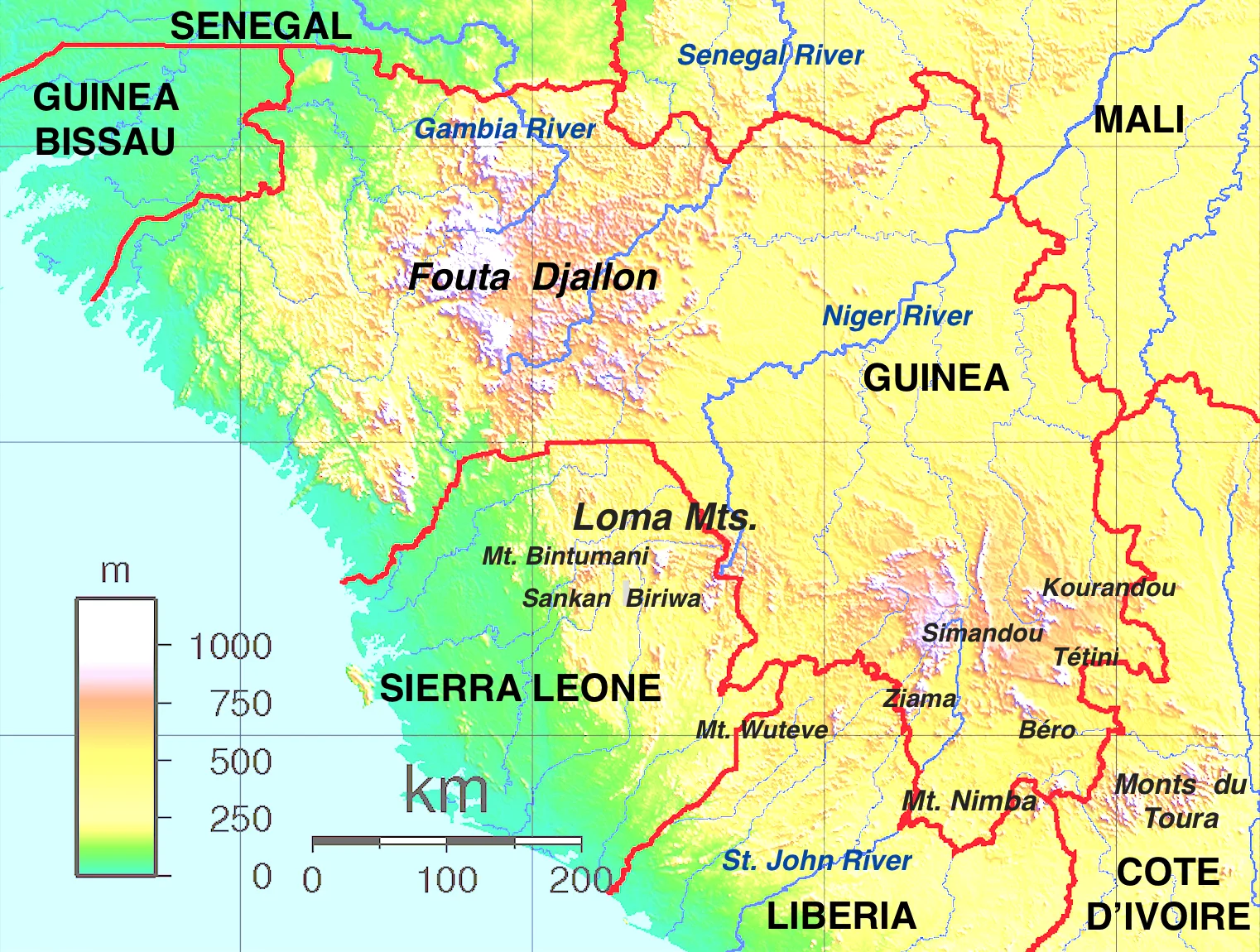
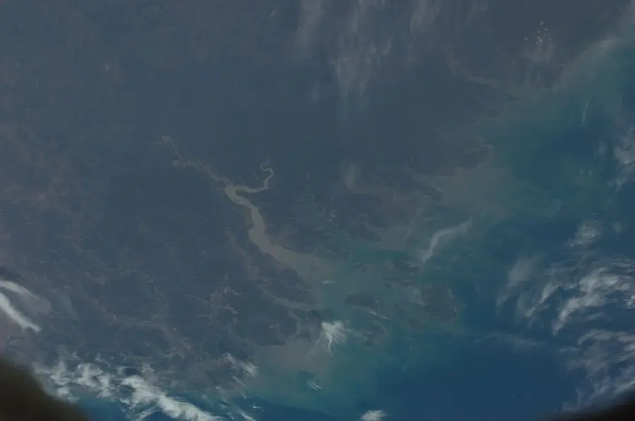
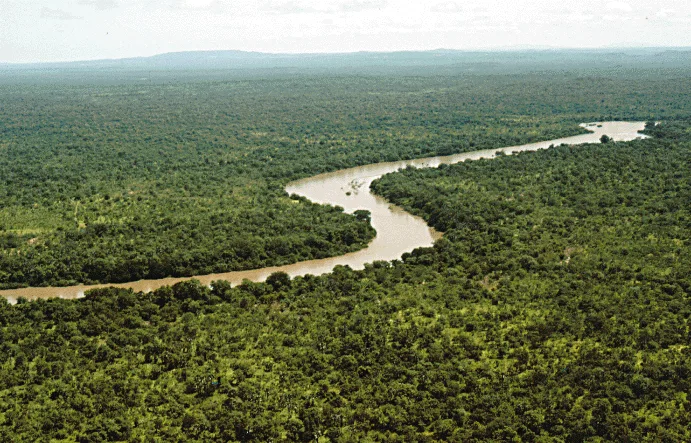
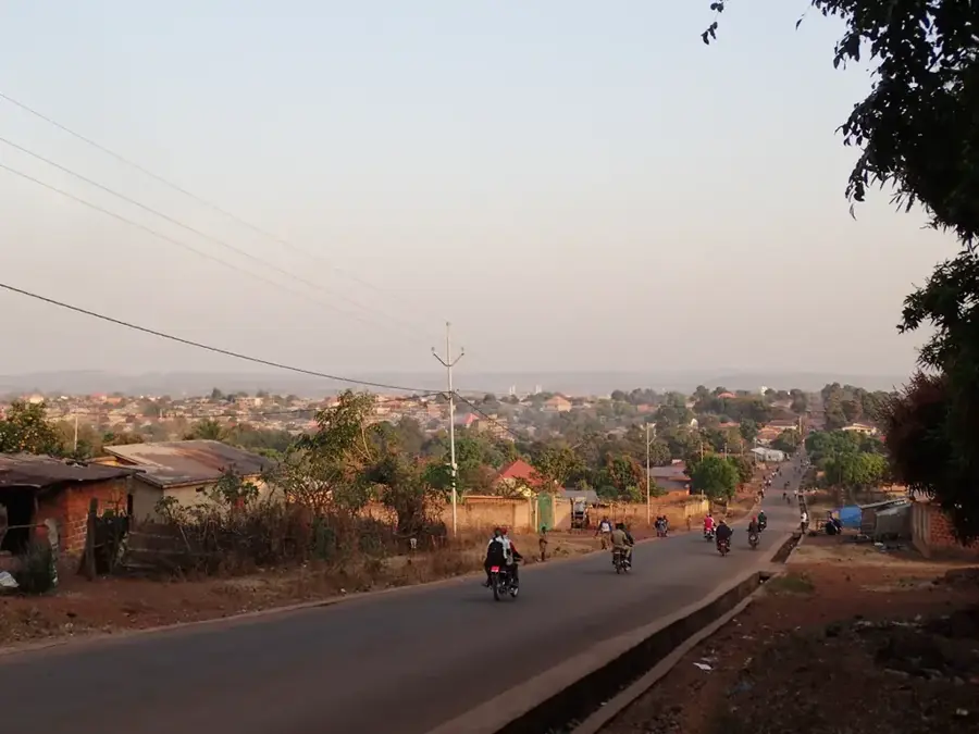
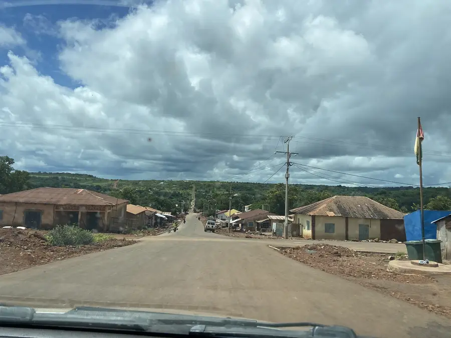
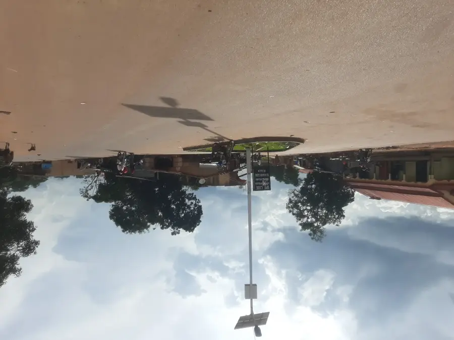
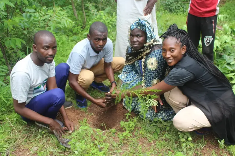
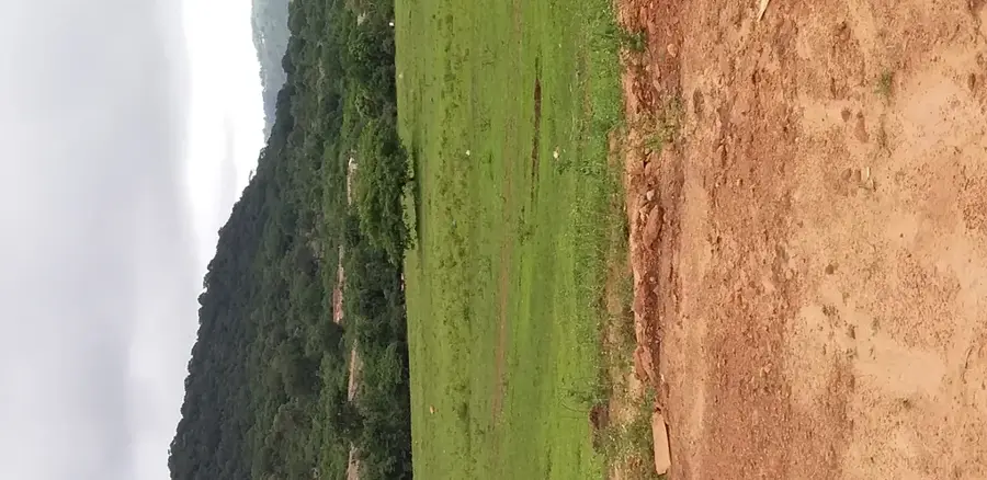
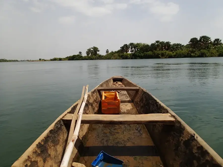
The source of the Gambia River (Source du fleuve Gambie) is an ecological and geographical sanctuary located in northern Guinea within the Fouta Djallon massif. Geographically, the river originates near the city of Labé, on the high plateaus between Labé and Koubia, in a region characterized by dense montane forests and abundant streams. The source itself is often a small, unassuming stream, yet it marks the beginning of a journey spanning over 1,100 kilometers through Senegal and the Gambia to the Atlantic Ocean. Historically, the site holds great symbolic value, highlighting Guinea's role as the 'Water Tower' of West Africa. Life around the headwaters is deeply connected to the protection of water resources, with local Fula communities traditionally regarding the forest surrounding the source as sacred. Economically, the source provides vital water for agriculture and livestock in the northern highlands. Ecologically, the headwater area is a biodiversity hotspot, home to rare plant and animal species that depend on the clean, cool mountain waters. For visitors, a trek to the source has a profound insight into West Africa's hydraulic interconnectedness and the serene majesty of Guinea's untouched mountain nature.
- Location: Guinea
- Nearby: Tougué (29 km)
Best time to visit & climate
The most pleasant time to visit is Jan, Nov, Dec.
| Jan | Feb | Mar | Apr | May | Jun | Jul | Aug | Sep | Oct | Nov | Dec | |
|---|---|---|---|---|---|---|---|---|---|---|---|---|
| Avg °C | 24 | 27 | 29 | 31 | 30 | 27 | 25 | 24 | 24 | 25 | 24 | 23 |
| Rain mm | 1 | 2 | 3 | 17 | 79 | 158 | 276 | 412 | 259 | 94 | 12 | 0 |
📋 Practical info
Geography
Facts
- The source is located on the Labé plateau at an altitude of approximately 1,000 meters.
- The Gambia River is the lifeblood for millions of people across three West African states.
- The surrounding forest acts as a natural sponge, regulating the river's initial flow.
- In the local language, the upper reaches of the river are often called 'Dimma'.
- The site is central to the OMVG, an international organization for river basin management.
- It is a key location for studying the impact of climate change on West African water towers.
Explore nearby
Notable places around
Route planner — Car & Motorhome
Where do you start? We build the route here, with stops and country notes along the way.
© OpenStreetMap contributors · OpenRouteService
Sights nearby
Frequently asked questions
Where exactly is the source located?
Can the site be visited?
What does the source look like?
When is the best time to visit?
Are there signs there?
Gambia River Source: where is it located?
Gambia River Source: when is the best time to visit?
Gambia River Source: why is it worth visiting?

Nearby cities

History & landmarks
Nature
More places