Plizio Visual Lab
Tinka

ℹ️Practical info — Tinka
▾
🌤 Weather — 5 days
📍 Nearby
Sights nearby
💡 Tips
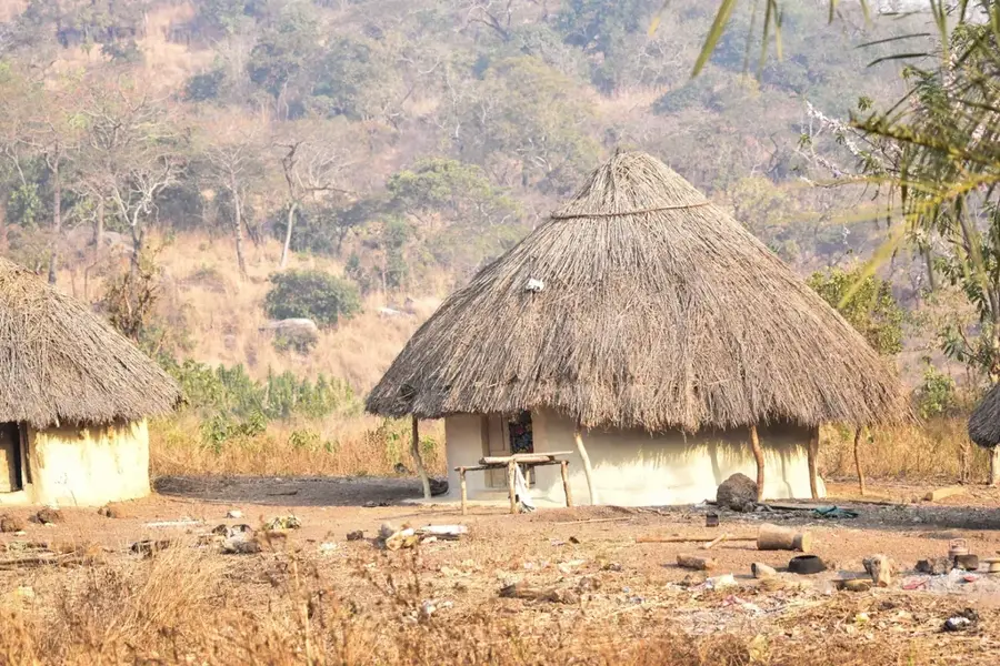
- The traditional Fula huts with thatched roofs are highly photogenic, but always ask permission before taking pictures.
- The higher altitude in the Dalaba prefecture makes it one of the coolest places in Guinea, excellent for walking.
- Hire a local guide to gain a deeper understanding of the rich Fula (Peul) culture and traditions.
- Try to visit during the dry season, as the unpaved local trails can become very muddy and hard to navigate.
- Carry plenty of water and snacks if you're planning to hike between the settlements.
🍽 Food
Traditional sour milk served in dried calabash bowls.
The staple local rice dish enjoyed by families.
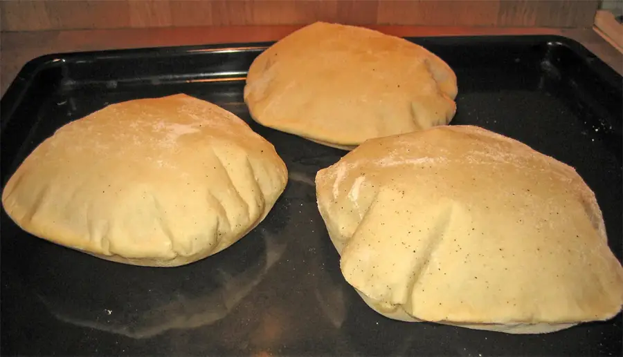
Grab a warm loaf early in the morning from the traditional clay ovens.
🛍 Shopping · 🧘 Quiet spots
Intricately designed hats and bags made by Fula artisans.
Beautiful fabrics crafted on traditional looms within the villages.
Walk the peaceful paths that link the traditional Fula settlements.
Take in the sweeping views over the valleys of the Dalaba region.
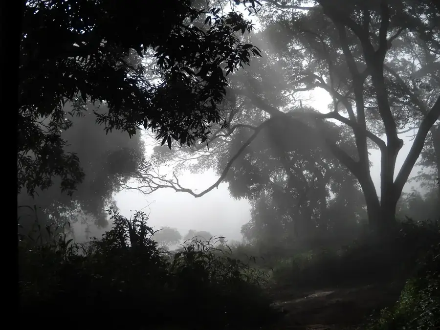
Enjoy a refreshing stroll through the quiet, shaded pine forests.
Water temperature…
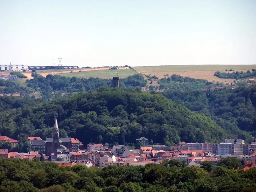
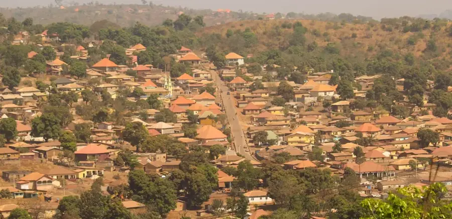
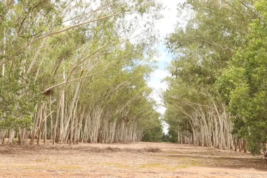
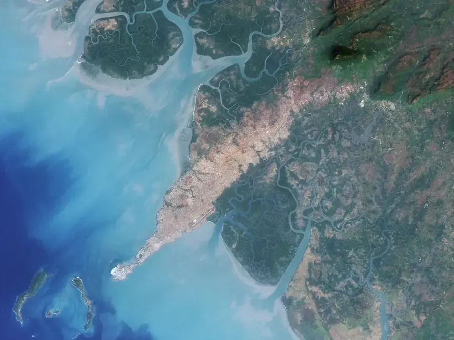
Tinka is a scenic settlement in the Dalaba Prefecture, located in the central highlands of the Fouta Djallon. The village is primarily known for its extraordinary geographic setting on a mountain ridge, offering spectacular panoramic views over the deep valleys and rocky plateaus of the region. The climate in Tinka is unusually mild and cool for Guinea, making it an attractive destination for hikers and nature enthusiasts. The surrounding landscape features a mix of indigenous forests, pine groves planted during the colonial era, and terraced agricultural plots. Economically, Tinka relies on small-scale market gardening, dominated by the cultivation of strawberries, oranges, and various vegetables that benefit from the cooler highland air. Culturally, the town is deeply rooted in Fula traditions, with social life revolving around the local mosque and communal gatherings. Tinka is regarded as a place of tranquility and spiritual significance within the Dalaba region. The architecture often blends traditional clay-based construction with modern touches, designed to withstand the humid mountain climate.
- Location: Guinea
- Nearby: Dabola (55 km)
Best time to visit & climate
The most pleasant time to visit is Jan, Nov, Dec.
| Jan | Feb | Mar | Apr | May | Jun | Jul | Aug | Sep | Oct | Nov | Dec | |
|---|---|---|---|---|---|---|---|---|---|---|---|---|
| Avg °C | 24 | 27 | 29 | 30 | 28 | 25 | 24 | 23 | 23 | 24 | 24 | 23 |
| Rain mm | 3 | 4 | 5 | 35 | 128 | 246 | 378 | 486 | 334 | 114 | 21 | 1 |
Geography
Facts
- Tinka is one of the highest points of habitation in the Dalaba Prefecture.
- The village is famous for its commanding views over the surrounding plateaus.
- Strawberry farming is a signature agricultural activity in the Tinka area.
- The local climate supports the growth of temperate-zone fruits and vegetables.
- Tinka's social structure is typical of traditional Fula mountain communities.
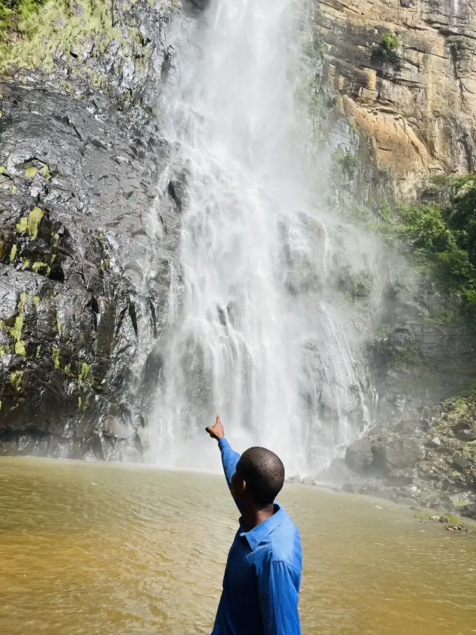
- It is a strategic base for exploring the 'Pont de Dieu' natural bridge nearby.
Explore nearby
Notable places around
Route planner — Car & Motorhome
Where do you start? We build the route here, with stops and country notes along the way.
© OpenStreetMap contributors · OpenRouteService
Frequently asked questions
Why is Tinka worth a visit?
What is the 'Case à Palabres'?
Can you go hiking there?
What is the weather like in Tinka?
Are there hotels in Tinka?
Tinka: where is it located?
Tinka: when is the best time to visit?
Tinka: why is it worth visiting?

Nearby cities
Nature
More places