Plizio Visual Lab
Mali
ℹ️Practical info — Mali
▾
🌤 Weather — 5 days
📍 Nearby
Sights nearby
💡 Tips
- Pack warm clothing, as the high altitude makes Mali one of the coolest towns in Guinea, especially at night.
- A hike up Mount Loura is a must; start early to catch the best views of the 'Lady of Mali' rock formation.
- Transport up to Mali-ville is often via rough, steep roads, so prepare for a bumpy and lengthy ride.
- Enjoy the slower, relaxed pace of life here compared to the bustling low-land cities.
🍽 Food
Ask for locally harvested mountain honey, known for its distinct and rich flavor, first-rate with fresh bread.
A healthy and traditional local grain often served with a peanut or leaf-based sauce in small eateries.
Warm up in the cool evenings with a glass of sweet, freshly brewed mint tea from a street vendor.
🛍 Shopping · 🧘 Quiet spots
Look for traditional weavers in the area selling beautifully dyed indigo fabrics typical of the region.
Visit the market to buy mountain herbs and spices used in traditional Fouta Djallon cuisine.
Spend a quiet hour at the top taking in the spectacular, uninterrupted views over the border into Senegal.
Walk along the lower trails extending from the town to experience the misty and peaceful mountainous environment.
Water temperature…
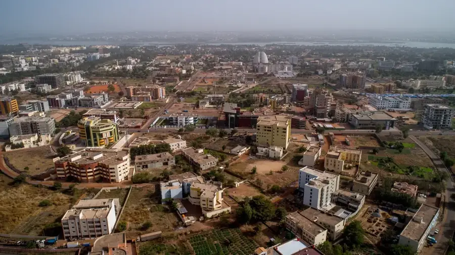
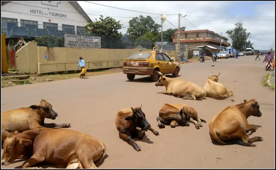
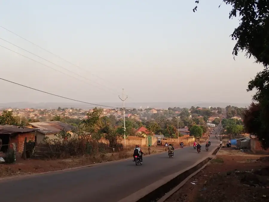
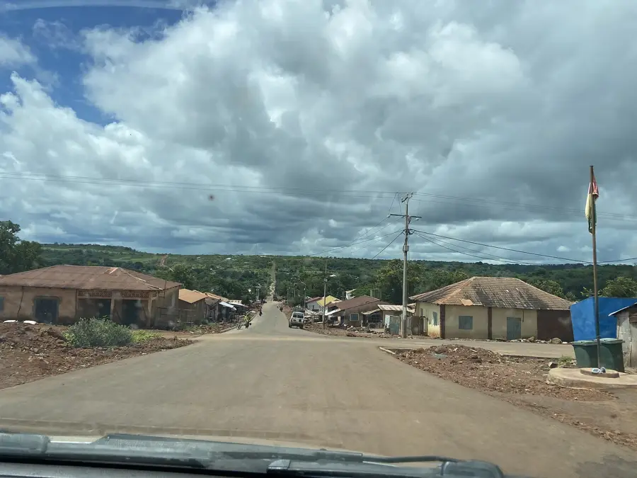
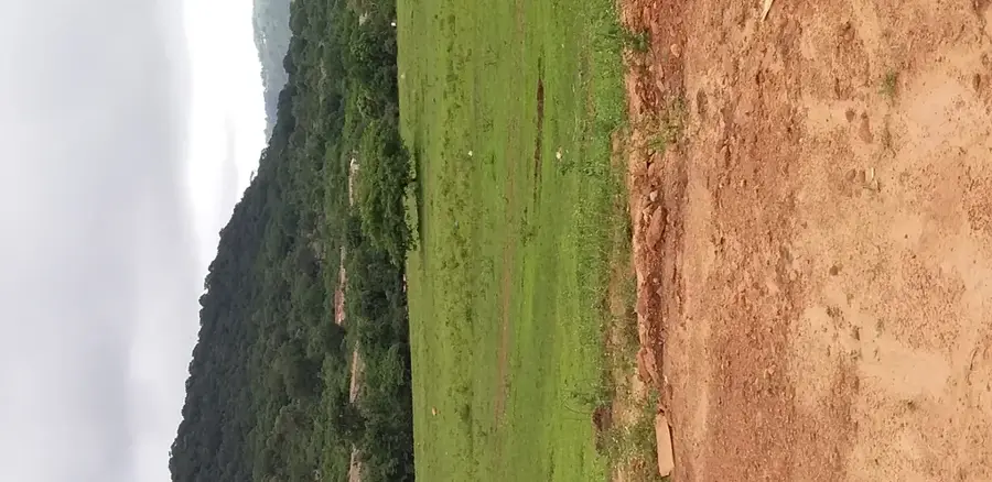
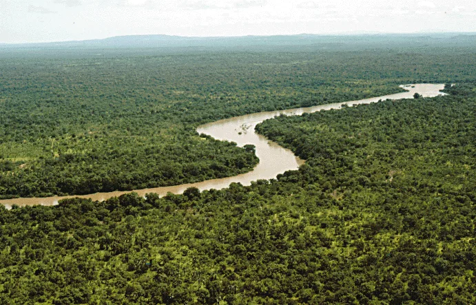
Mali, often called Mali-ville or Mali-Yembering to distinguish it from the neighboring country, is the highest-altitude town in Guinea, located in the northern reaches of the Fouta Djallon highlands. It is renowned for its unique temperate climate; during the winter months, temperatures can drop significantly, making it the coolest place in West Africa. The region's crown jewel is Mount Loura, the highest peak of the Fouta Djallon, featuring the "Lady of Mali," a natural rock formation shaped like a woman's profile created by centuries of wind erosion. Geographically, the area is defined by dramatic cliffs and rugged plateaus offering sweeping views into Senegal to the north. Economically, Mali serves as a major agricultural hub, famous for its potato and onion production, which supplies markets across Guinea and neighboring countries. Livestock farming, particularly N'Dama cattle, is central to the livelihoods of the local Fula people. The town remains an important center for Islamic scholarship and traditional culture, making it an increasingly popular destination for eco-tourism.
- Location: Guinea
- Top sights: Mali, Guinea · Mali Prefecture
- Nearby: Salambandé (42 km)
- Population: ~6.293 (2023)
Best time to visit & climate
The most pleasant time to visit is Jan, Nov, Dec.
| Jan | Feb | Mar | Apr | May | Jun | Jul | Aug | Sep | Oct | Nov | Dec | |
|---|---|---|---|---|---|---|---|---|---|---|---|---|
| Avg °C | 25 | 28 | 30 | 31 | 30 | 27 | 25 | 24 | 24 | 25 | 24 | 24 |
| Rain mm | 2 | 1 | 2 | 10 | 72 | 174 | 332 | 468 | 296 | 113 | 13 | 0 |
Geography
Facts
- Mali is the highest town in Guinea, situated at an altitude of over 1,400 meters.
- Mount Loura, nearby, is the highest point in the Fouta Djallon range at 1,515 meters.
- The "Dame du Mali" is a world-famous natural rock formation near the town.
- The region is Guinea's primary center for potato and onion cultivation.
- It is known for having the coldest recorded temperatures in the country.
- The town is a gateway for travelers and traders heading towards the Senegalese border.
Explore nearby
Notable places around
Route planner — Car & Motorhome
Where do you start? We build the route here, with stops and country notes along the way.
© OpenStreetMap contributors · OpenRouteService
Sights in the town Mali (2)
Frequently asked questions
What is the most famous sight in Mali, Guinea?
What is the weather like in this city?
How do you reach Mount Loura?
When is the best time to visit Mali?
What kind of agriculture is found here?
Mali: where is it located?
Mali: what is there to see?
Mali: when is the best time to visit?
Mali: why is it worth visiting?

Nearby cities
History & landmarks
Nature
More places