Plizio Visual Lab
Bafing
Weather…
Water temperature…
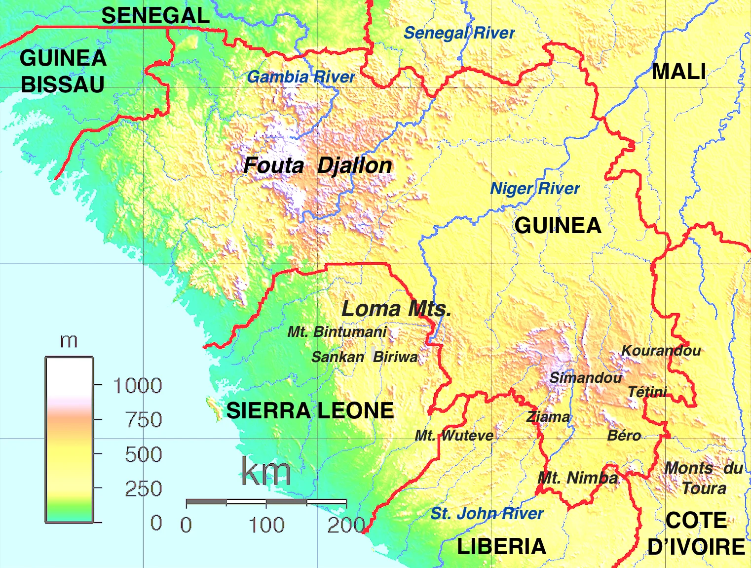
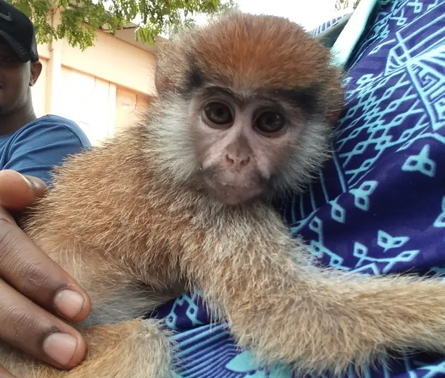
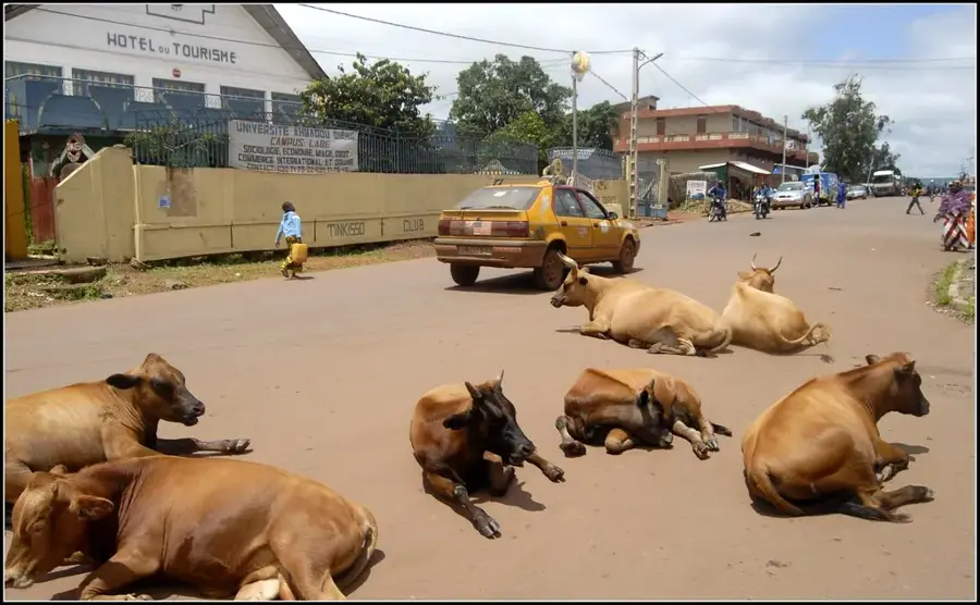
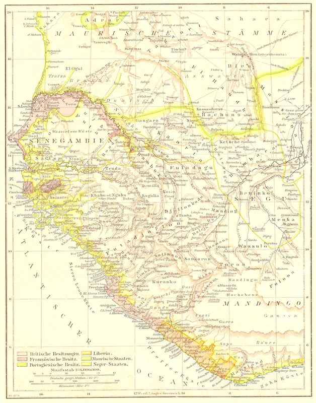
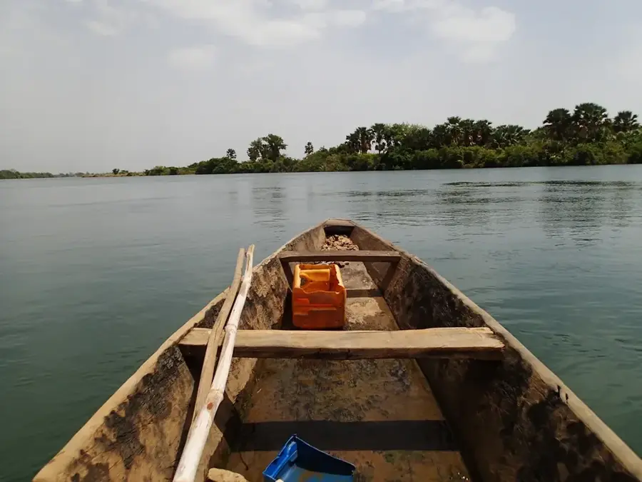
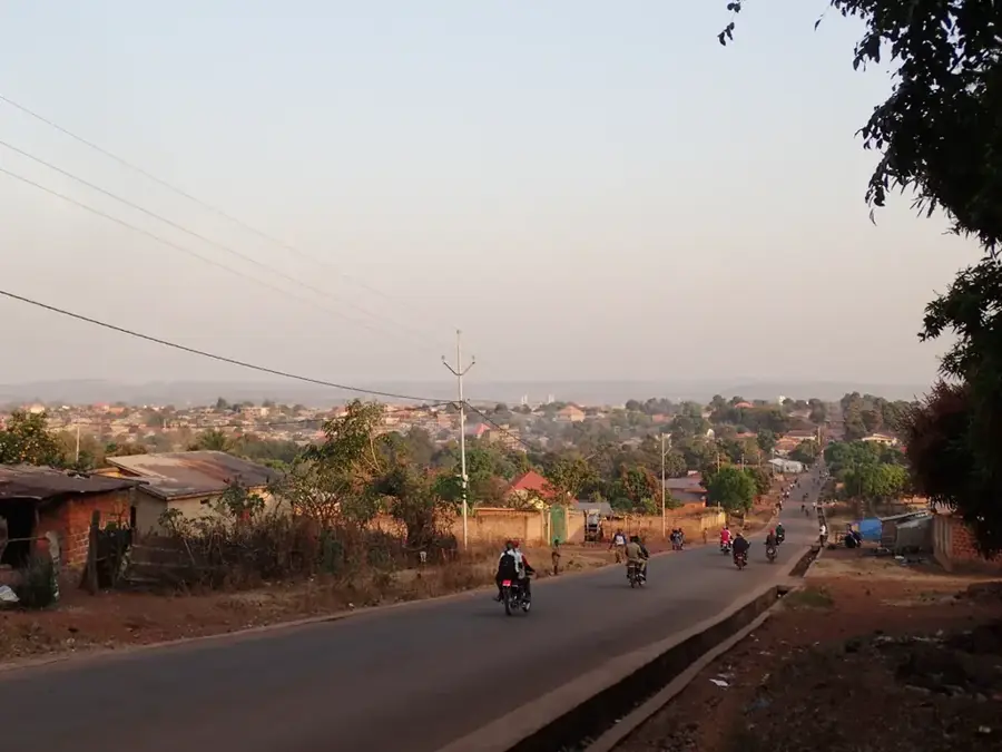
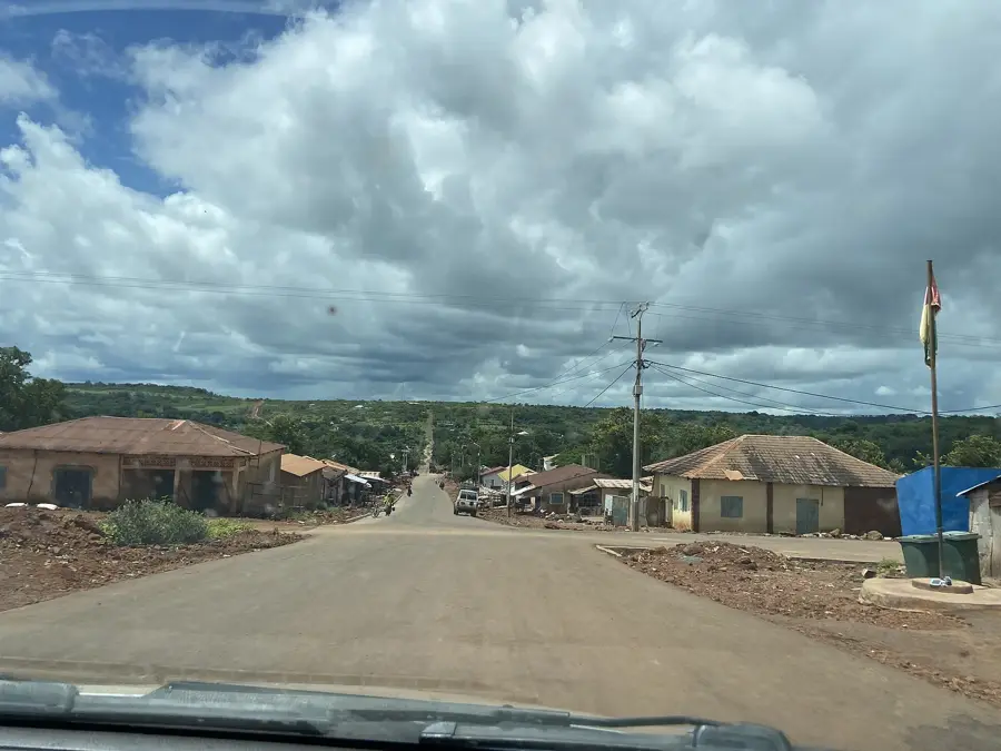
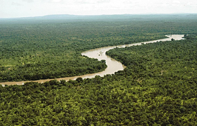
The Bafing is a significant river in Guinea and one of the two primary headwaters of the Senegal River. Geographically, it originates in the heart of the Fouta Djallon highlands near the city of Mamou, flowing northward through deeply incised valleys and pristine landscapes. The name 'Bafing' translates to 'Black River' in the Mandinka language, reflecting the dark hue of its waters in its deeper reaches. Along its journey through Guinea, the river forms numerous rapids and waterfalls that lend it a raw, untamed beauty. Historically, the Bafing has been the lifeblood for communities in the northern highlands, serving as a natural boundary and a reliable water source for centuries. Economically, the river is of immense regional importance as its flow is the primary contributor to the Manantali Dam in Mali, which provides power and irrigation for the entire Senegal River basin. Ecologically, the Bafing is vital, as its basin features sanctuary to endangered species such as West African chimpanzees and hippos. Life along the river is governed by the rainy season, when the Bafing transforms into a powerful torrent. For Guinea, the Bafing is a symbol of the highlands' ecological wealth and West Africa's transboundary interconnectedness through its waterways.
- Location: Guinea
- Nearby: Dinguiraye (33 km)
Best time to visit & climate
The most pleasant time to visit is Jan, Nov, Dec.
| Jan | Feb | Mar | Apr | May | Jun | Jul | Aug | Sep | Oct | Nov | Dec | |
|---|---|---|---|---|---|---|---|---|---|---|---|---|
| Avg °C | 24 | 27 | 30 | 32 | 31 | 28 | 26 | 25 | 25 | 26 | 25 | 23 |
| Rain mm | 1 | 3 | 3 | 17 | 68 | 147 | 235 | 365 | 238 | 88 | 11 | 0 |
📋 Practical info
Geography
Facts
- The Bafing provides over 50% of the total water volume for the Senegal River.
- Its name originates from the Mandinka word for 'Black River'.
- The river's headwaters are situated in the high-rainfall zone of the Fouta Djallon.
- It serves as a critical corridor for the movement of West African wildlife.
- The Bafing is central to the transboundary water management organization OMVS.
- Traditional fishing in the Bafing is a primary protein source for inland villages.
Explore nearby
Notable places around
Route planner — Car & Motorhome
Where do you start? We build the route here, with stops and country notes along the way.
© OpenStreetMap contributors · OpenRouteService
Sights nearby
Frequently asked questions
Where does the Bafing originate?
Which major river does it form?
Can one swim in the river?
Are there forests there?
What is the accessibility like?
Bafing: where is it located?
Bafing: when is the best time to visit?
Bafing: why is it worth visiting?

Nearby cities

History & landmarks
Nature
More places