Plizio Visual Lab
Salambandé
ℹ️Practical info — Salambandé
▾
🌤 Weather — 5 days
📍 Nearby
Sights nearby
💡 Tips
- Timing your visit for the weekly market day is highly recommended to see the town at its liveliest.
- Bring enough cash and basic medical supplies with you, as the area is quite rural.
- French is spoken, but knowing a few greetings in Pular will be warmly received.
- The hilly terrain means comfortable walking shoes are a must.
🍽 Food
These local grain-based dishes are staple comfort foods, available in village cookhouses.
Grab fresh bananas and oranges directly from the market vendors.
A simple, cheap, and ubiquitous snack great for walking around.
🛍 Shopping · 🧘 Quiet spots
The undisputed hub for buying local grains, livestock, and fresh produce.
Look out for handmade clay pots used traditionally for cooking and water storage.
Take a brief hike out of the village to enjoy the quiet, open landscapes of the Labé region.
Finding a large tree in the village center is the traditional way to relax in the shade.
Water temperature…
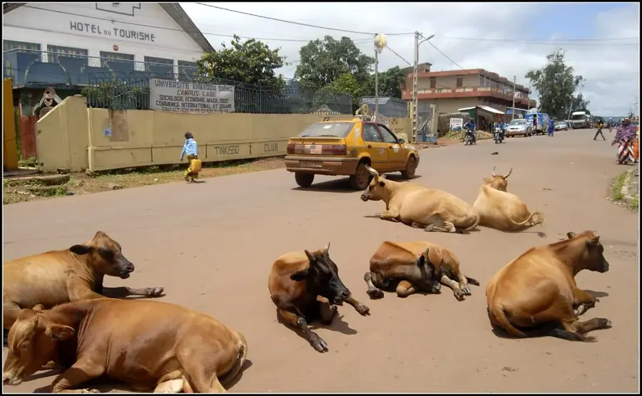
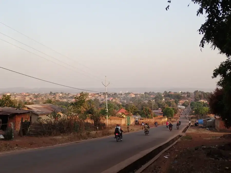
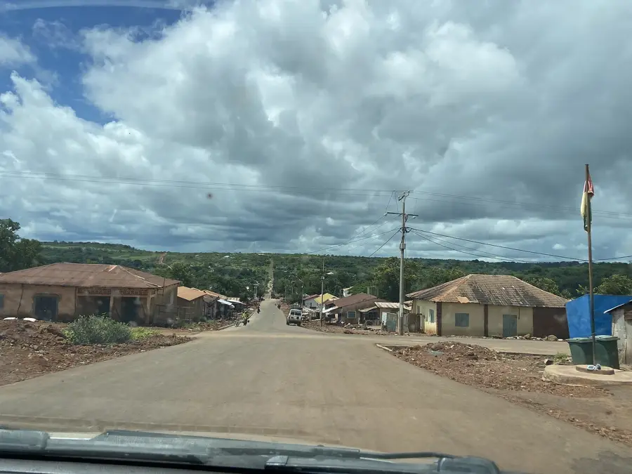
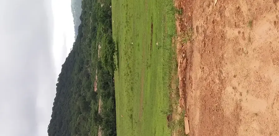
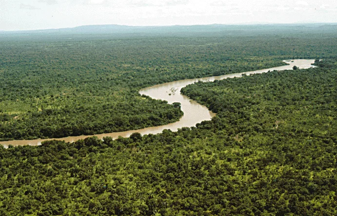
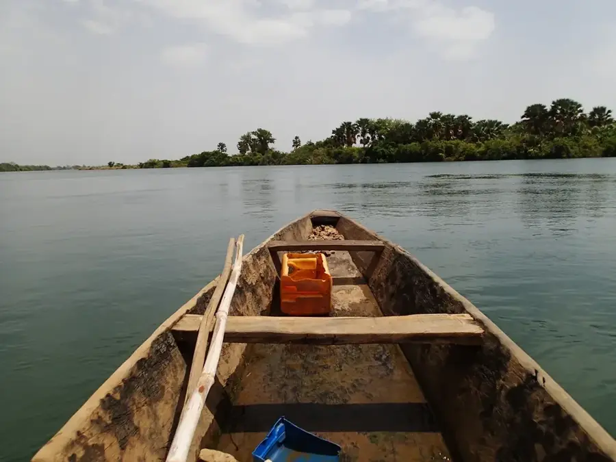
Salambandé is a rural community and a significant agricultural center in the Mali Prefecture, located in the northern Fouta Djallon highlands. The town is situated in a rugged mountainous region defined by deep valleys and steep slopes, which presents unique challenges for local farming. Despite the difficult topography, Salambandé has established itself as a notable producer of grains and legumes. Geographically, the area enjoys a cool highland climate, providing a stark contrast to the humid heat of the coastal plains. The local economy is almost entirely driven by subsistence agriculture and local trade, with cattle ranching being a cornerstone for the Fula population. Historically, the region served as a sanctuary for communities seeking independence within the protective mountain ranges. Social organization is deeply influenced by traditional Islamic values and clan structures. While infrastructure is limited, the isolation of Salambandé has played a role in preserving its pristine landscapes and traditional ways of life. The town’s markets remain vital social and economic hubs for the residents of the surrounding mountain hamlets.
- Location: Guinea
- Nearby: Popodara (37 km)
Best time to visit & climate
The most pleasant time to visit is Jan, Nov, Dec.
| Jan | Feb | Mar | Apr | May | Jun | Jul | Aug | Sep | Oct | Nov | Dec | |
|---|---|---|---|---|---|---|---|---|---|---|---|---|
| Avg °C | 25 | 28 | 30 | 31 | 30 | 27 | 25 | 24 | 24 | 25 | 24 | 24 |
| Rain mm | 2 | 1 | 2 | 10 | 72 | 174 | 332 | 468 | 296 | 113 | 13 | 0 |
Geography
Facts
- Salambandé is administratively part of the Mali Prefecture.
- The region is known for its terraced farming on the mountain slopes.
- Livestock ownership is the primary status symbol among the local population.
- The town is located in one of the most inaccessible zones of northern Guinea.
- Several small tributaries of the Senegal River basin originate in this area.
- Traditional weaving is practiced in many households as a supplementary craft.
Explore nearby
Notable places around
Route planner — Car & Motorhome
Where do you start? We build the route here, with stops and country notes along the way.
© OpenStreetMap contributors · OpenRouteService
Frequently asked questions
When is the best time to visit Salambandé?
What local specialties should one try in Salambandé?
How many days should you plan for a visit?
Is Salambandé suitable for families?
What is the best way to get to Salambandé?
Salambandé: where is it located?
Salambandé: when is the best time to visit?
Salambandé: why is it worth visiting?

Nearby cities
History & landmarks
Nature
More places