Plizio Visual Lab
Tinkisso Battlefield

Weather…
Water temperature…
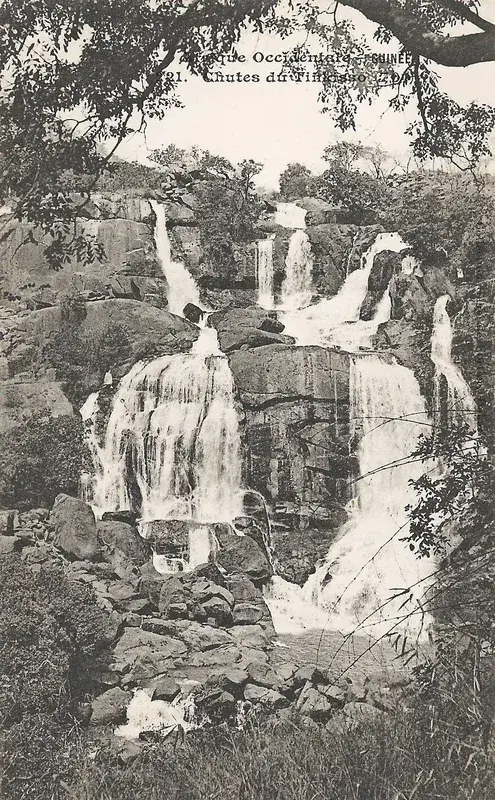
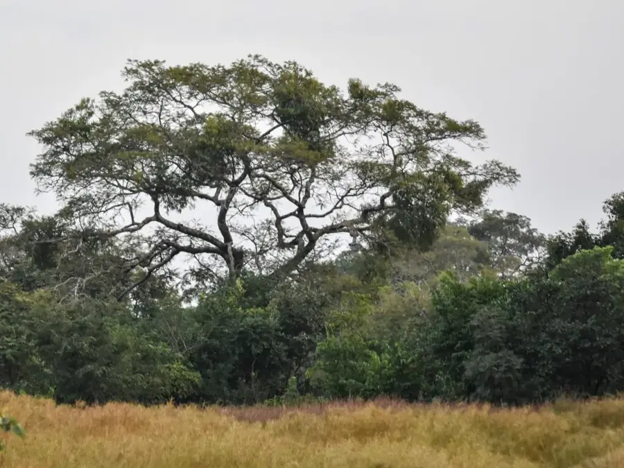
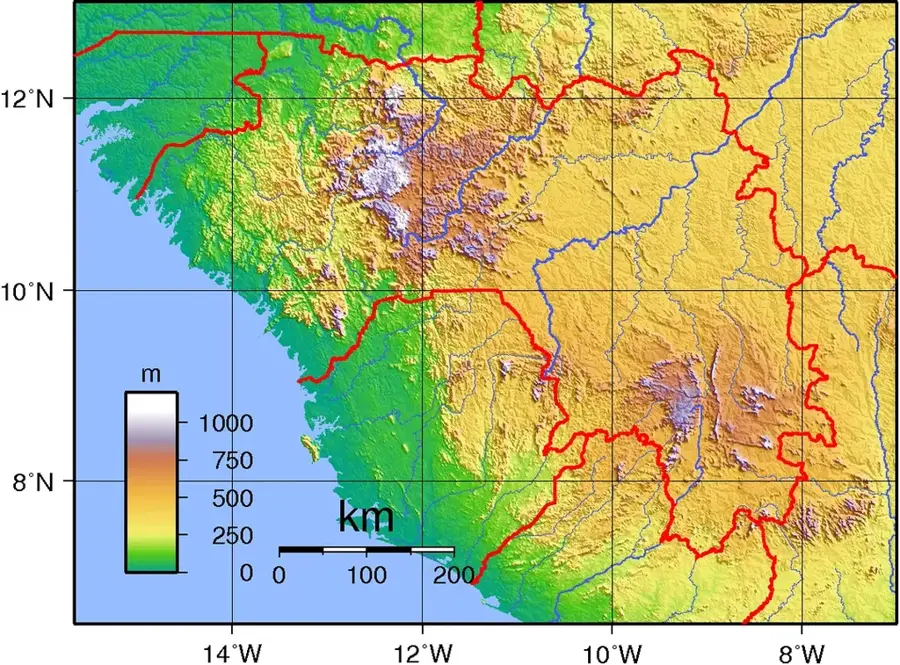
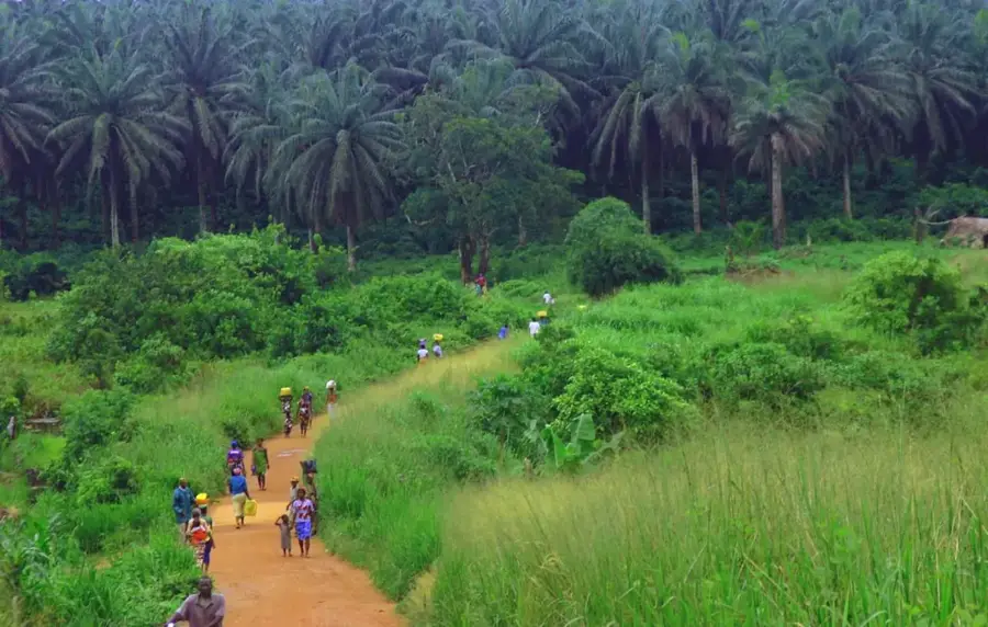
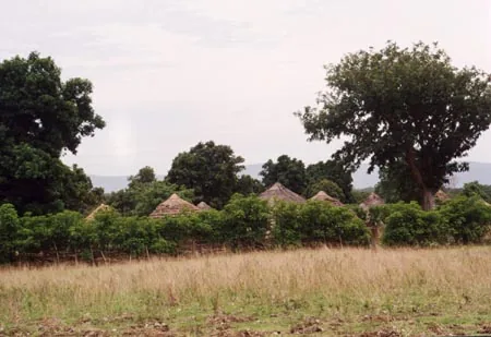
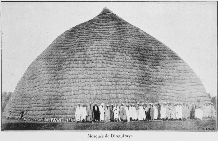
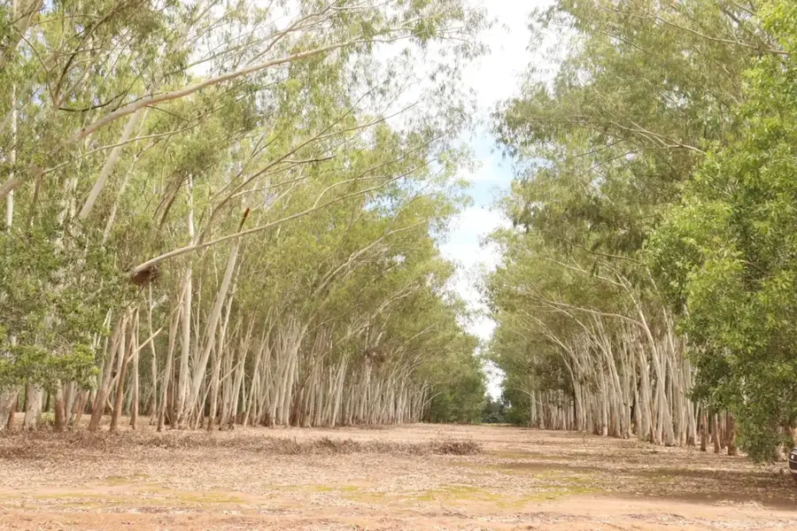
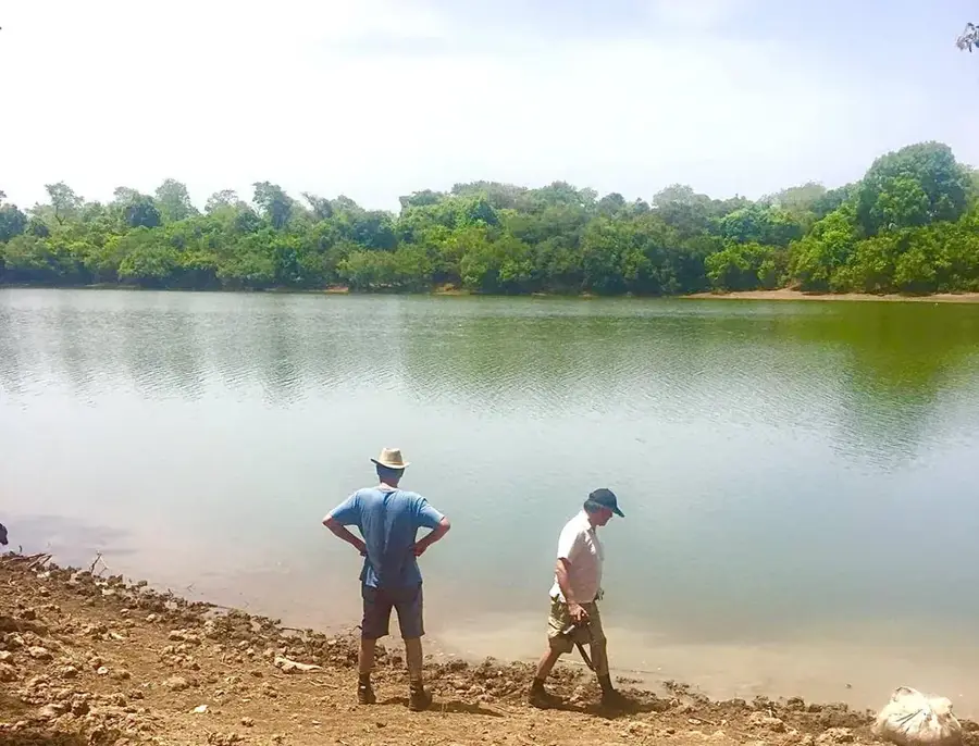
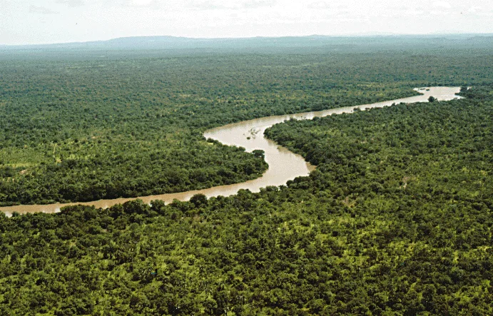
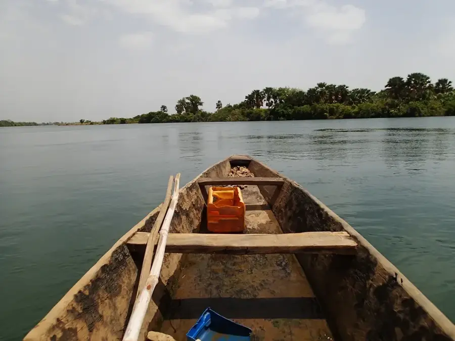
The Tinkisso Battlefield is a historically significant site near the town of Dabola, marking the military clashes that shaped the landscape of West African empires during the 19th century. Geographically, the area spans the banks of the Tinkisso River, a major tributary of the Niger, known for its deep gorges and expansive savanna surroundings. Historically, this site is closely associated with the expansion of the Toucouleur Empire under El Hadj Umar Tall and, later, the defensive struggles led by Samori Touré. The Tinkisso served as both a natural barrier and a vital strategic crossing point. In the 1880s, intense fighting broke out here as 'sofa' warriors fought to maintain control over the lucrative trade routes connecting the Fouta Djallon highlands with the goldfields of Bouré. The rugged topography, featuring steep riverbanks, provided handy conditions for guerrilla tactics and defensive fortifications. Today, the battlefield is a place of quiet reflection, yet it remains a powerful symbol of ancestral resistance and military ingenuity in local oral history. For historians, the site has critical insights into pre-colonial warfare and the geopolitical dynamics of Upper Guinea.
- Location: Guinea
- Nearby: Dinguiraye (48 km)
Best time to visit & climate
The most pleasant time to visit is Jan, Nov, Dec.
| Jan | Feb | Mar | Apr | May | Jun | Jul | Aug | Sep | Oct | Nov | Dec | |
|---|---|---|---|---|---|---|---|---|---|---|---|---|
| Avg °C | 24 | 27 | 29 | 31 | 30 | 27 | 25 | 24 | 24 | 25 | 24 | 23 |
| Rain mm | 1 | 2 | 3 | 17 | 79 | 158 | 276 | 412 | 259 | 94 | 12 | 0 |
📋 Practical info
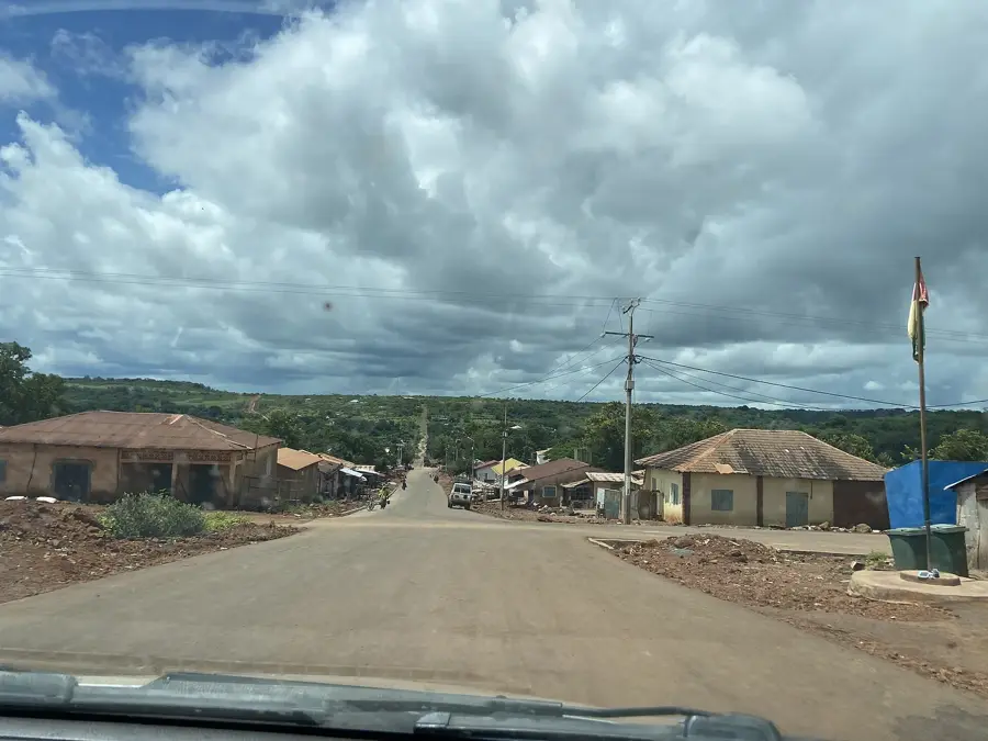
Geography
Facts
- The battlefield is situated along the strategically vital Tinkisso River.
- It hosted conflicts between the Wassoulou and Toucouleur empires.
- The terrain's natural features were utilized for effective guerrilla warfare.
- The site historically guarded the gateway to the eastern gold regions.
- Oral traditions still recount the heroic deeds performed during these battles.
- The area is located near the watershed of the Senegal and Niger basins.
Explore nearby
Notable places around
Route planner — Car & Motorhome
Where do you start? We build the route here, with stops and country notes along the way.
© OpenStreetMap contributors · OpenRouteService
Sights nearby
Frequently asked questions
Where is the Tinkisso battlefield located?
What is the historical significance?
What can you see there today?
Is the site developed for tourists?
Are there any dangers on site?
Tinkisso Battlefield: where is it located?
Tinkisso Battlefield: when is the best time to visit?
Tinkisso Battlefield: why is it worth visiting?

Nearby cities
Nature
More places