Plizio Visual Lab
Bafing-Makana
Weather…
Water temperature…
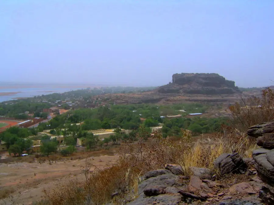
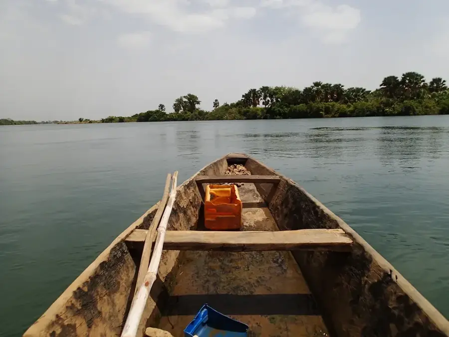
The Bafing River, originating in the Fouta-Djallon highlands of Guinea, is one of the two primary source rivers of the Senegal, flowing through western Mali. In its upper course near Makana, it traverses a pristine hilly landscape that serves as one of the last sanctuaries for endangered wildlife species. Geographically, this section is defined by deep gorges and rapids that form a natural barrier, having protected the region from large-scale development. Historically, the Bafing Valley was a crucial settlement area for the Malinké people, whose culture is deeply intertwined with the river's cycles. The construction of the Manantali Dam downstream has permanently altered the ecosystem, yet the Makana area retains its wild character. Riparian vegetation consists of dense gallery forests that provide a sharp contrast to the surrounding dry Sudanian savanna. Today, much of the region is under protection to preserve its biological diversity, particularly the western chimpanzee populations.
Best time to visit & climate
The most pleasant time to visit is Jan, Nov, Dec.
| Jan | Feb | Mar | Apr | May | Jun | Jul | Aug | Sep | Oct | Nov | Dec | |
|---|---|---|---|---|---|---|---|---|---|---|---|---|
| Avg °C | 24 | 27 | 30 | 32 | 32 | 29 | 26 | 25 | 25 | 26 | 25 | 24 |
| Rain mm | 1 | 2 | 4 | 13 | 57 | 139 | 231 | 366 | 236 | 91 | 8 | 0 |
📋 Practical info
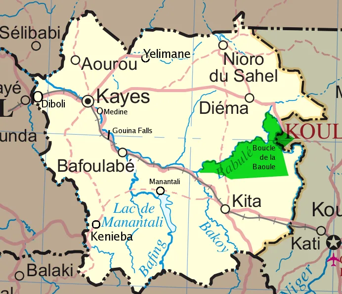
Geography
Facts
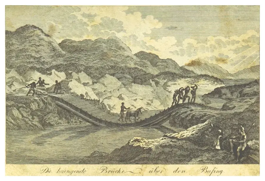
- The name Bafing means 'black river' in the Manding languages.
- The river joins with the Bakoye at Bafoulabé to form the Senegal River.
- The Bafing Sanctuary hosts the world's largest population of western chimpanzees.
- The region records summer temperatures exceeding 40 degrees Celsius.
- The Manantali Dam was completed in 1988 and impounds the river downstream.
- Numerous undiscovered cave systems are located within the cliffs along the river.
Explore nearby
Notable places around
Route planner — Car & Motorhome
Where do you start? We build the route here, with stops and country notes along the way.
© OpenStreetMap contributors · OpenRouteService
Sights nearby
Frequently asked questions
Is the Bafing-Makana safe?
What is the best season?
Is there gastronomy there?
Can you camp there?
Is the area suitable for hikers?
Bafing-Makana: where is it located?
Bafing-Makana: when is the best time to visit?
Bafing-Makana: why is it worth visiting?

Nature
More places